Cnoc na Mòine
Hill, Mountain in Ross-shire
Scotland
Cnoc na Mòine

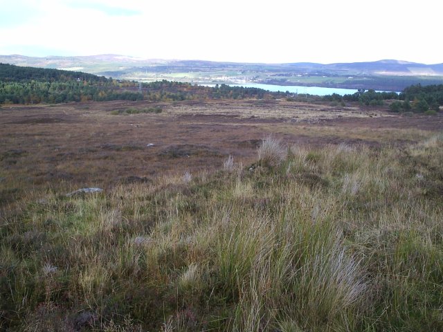
Cnoc na Mòine, located in Ross-shire, Scotland, is a prominent hill that stands at an elevation of approximately 600 meters (1,969 feet) above sea level. It is situated within the stunning Scottish Highlands, known for its rugged beauty and breathtaking landscapes.
The hill is characterized by its distinct shape, resembling a dome and covered in moorland vegetation, hence its name, which translates to "Hill of the Moor" in Gaelic. Its slopes are generally gentle, making it relatively accessible for hikers and outdoor enthusiasts. The summit offers panoramic views of the surrounding countryside, including nearby lochs, rivers, and rolling hills.
Cnoc na Mòine is a popular destination for hillwalkers and nature lovers, who are drawn to its tranquility and picturesque surroundings. The hill's diverse flora and fauna provide a haven for many species, including birds, insects, and small mammals. It is also home to several rare plant species that thrive in the moorland environment.
The area surrounding Cnoc na Mòine is rich in history, with ancient settlements dating back thousands of years. Stone circles and burial sites can be found nearby, offering a glimpse into the region's past. Additionally, the hill is part of a larger nature reserve that aims to protect and preserve the unique ecosystem found in the Scottish Highlands.
Overall, Cnoc na Mòine is a captivating and accessible hill in Ross-shire, offering visitors a chance to immerse themselves in the natural beauty and rich history of the Scottish Highlands.
If you have any feedback on the listing, please let us know in the comments section below.
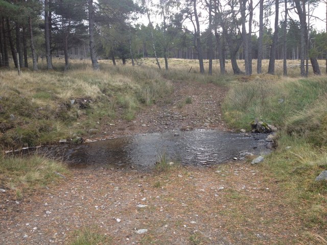
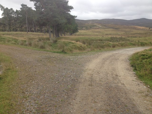
Cnoc na Mòine Images
Images are sourced within 2km of 57.87203/-4.3820448 or Grid Reference NH5889. Thanks to Geograph Open Source API. All images are credited.


Cnoc na Mòine is located at Grid Ref: NH5889 (Lat: 57.87203, Lng: -4.3820448)
Unitary Authority: Highland
Police Authority: Highlands and Islands
What 3 Words
///vanilla.irony.leopard. Near Lairg, Highland
Nearby Locations
Related Wikis

Ardgay
Ardgay ard-GY (Scottish Gaelic: Àird Gaoith or Àird Ghaoithe) ["high wind"] is a small Scottish village on the south west shore of the Dornoch Firth,...
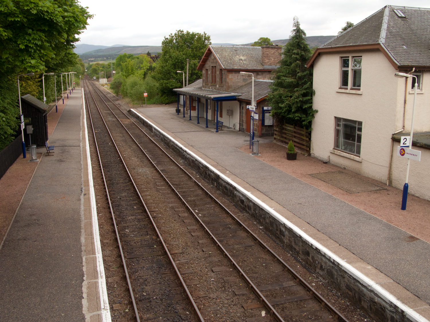
Ardgay railway station
Ardgay railway station is a railway station serving the village of Ardgay and its neighbour Bonar Bridge in the Highland council area of Scotland. The...
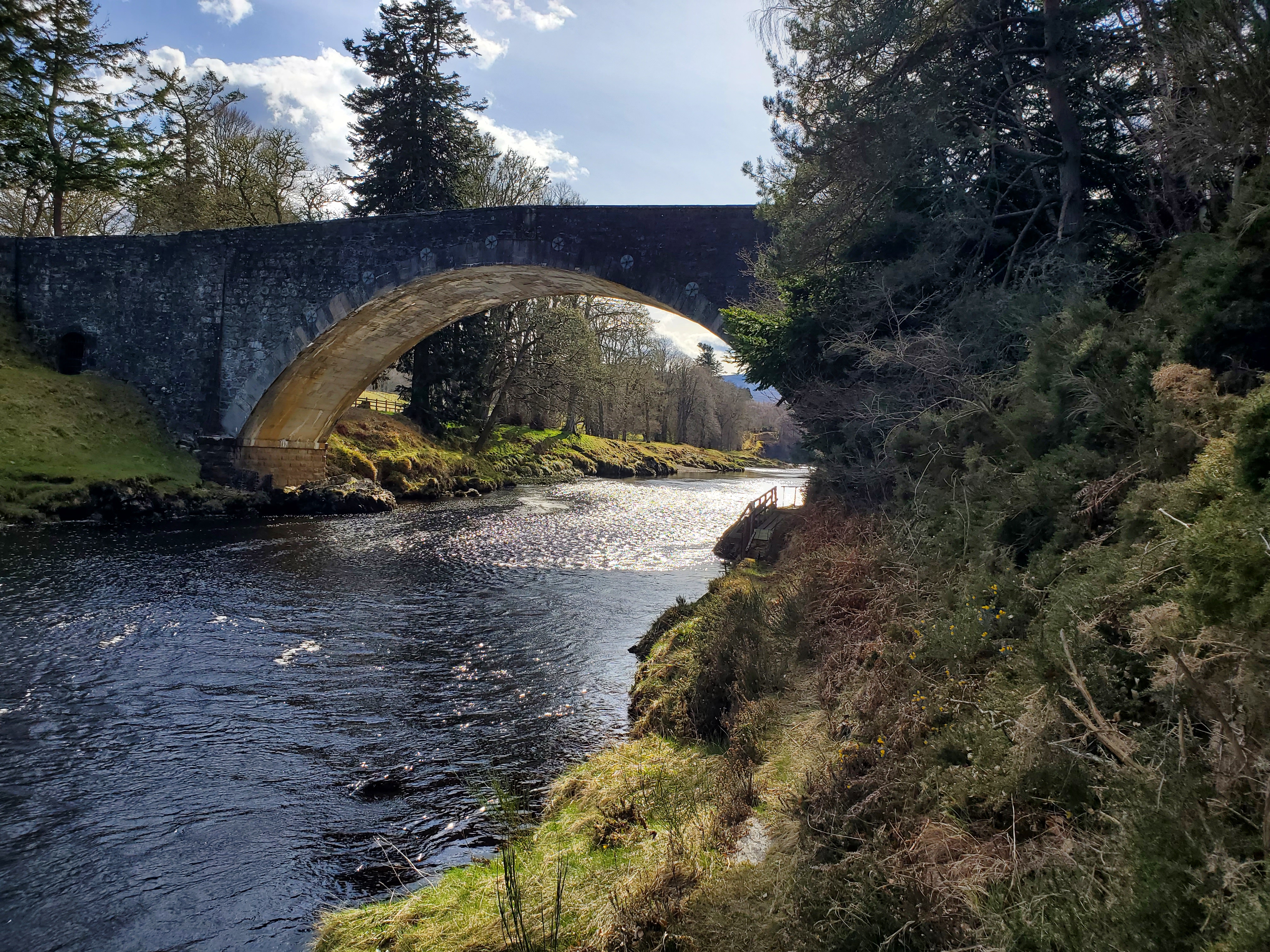
Carron Bridge (Sutherland, Scotland)
The Carron Bridge is a bridge over the River Carron near Ardgay in Sutherland, Scotland. == Description == The Carron Bridge is located near the town of...
Kincardine, Sutherland
Kincardine (Scottish Gaelic: Cinn Chàrdainn) is a small hamlet in Sutherland, situated on the west end of the south shore of the Dornoch Firth. The village...
Nearby Amenities
Located within 500m of 57.87203,-4.3820448Have you been to Cnoc na Mòine?
Leave your review of Cnoc na Mòine below (or comments, questions and feedback).