Airds Hill
Hill, Mountain in Kirkcudbrightshire
Scotland
Airds Hill
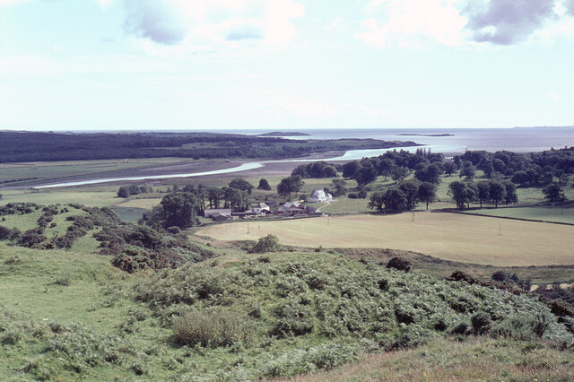
Airds Hill is a prominent landmark located in the historic county of Kirkcudbrightshire, Scotland. Standing at an elevation of approximately 350 meters (1,148 feet), it is classified as a hill rather than a mountain. This geographical feature is situated to the south of the charming town of Gatehouse of Fleet, offering panoramic views of the surrounding countryside.
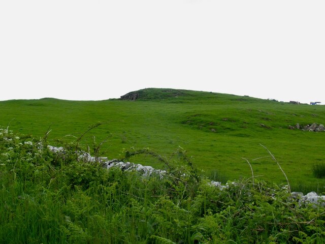
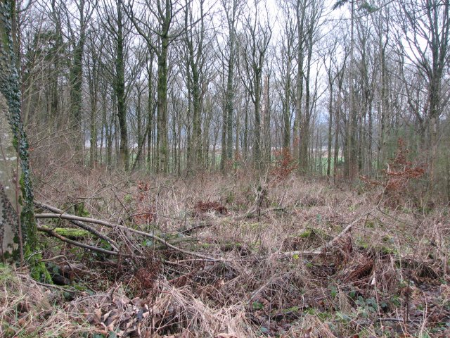
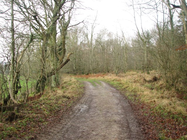
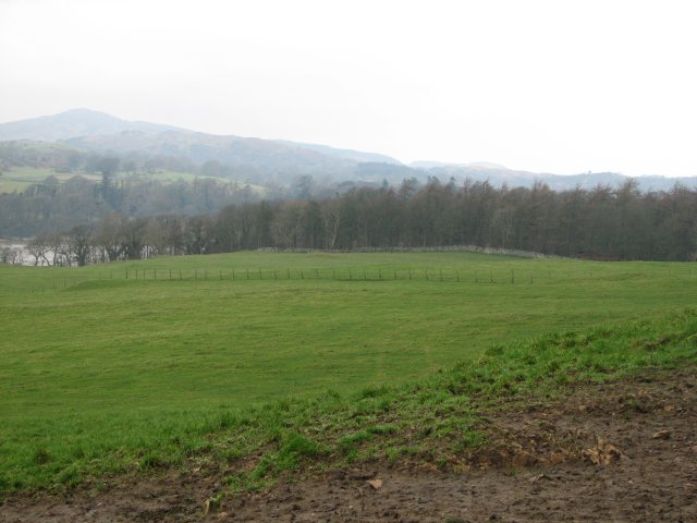
The hill is characterized by its distinctive conical shape and is covered with a mix of grass, heather, and scattered trees. It forms part of the wider Galloway Hills, which is renowned for its picturesque landscapes and is a popular destination for hikers, nature enthusiasts, and those seeking outdoor recreational activities.
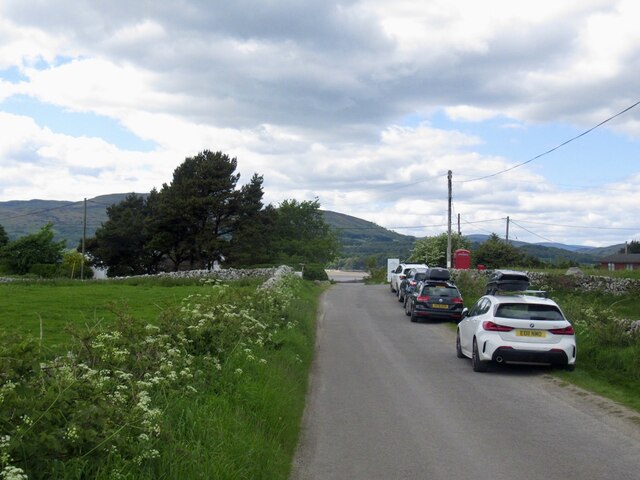
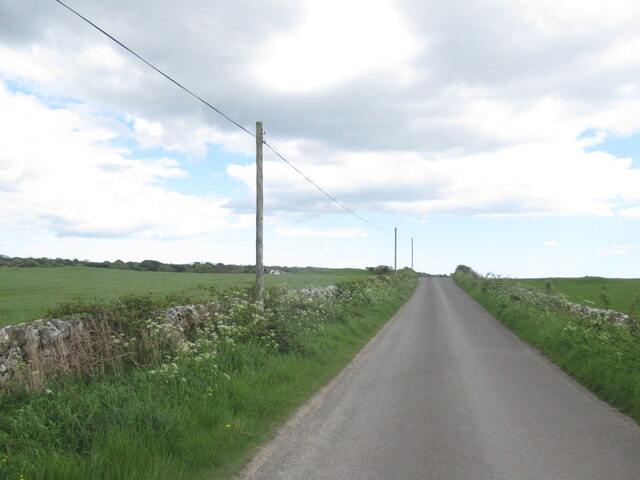
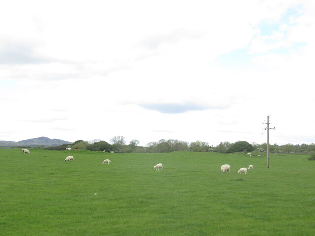
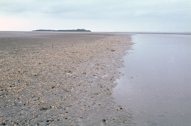
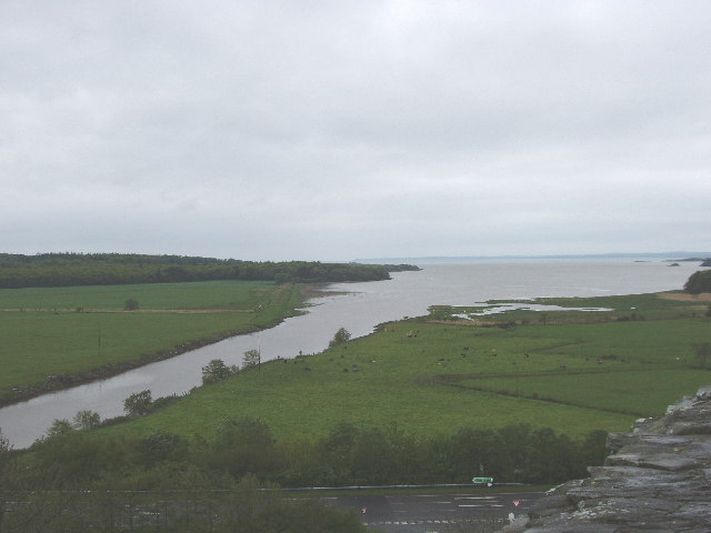
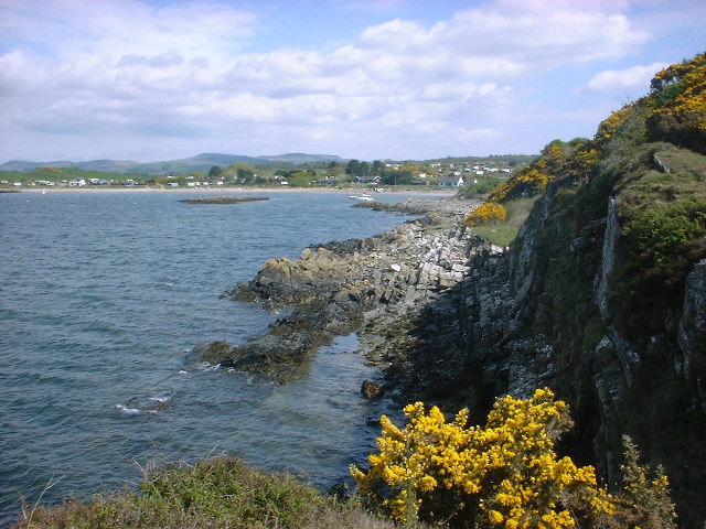
Airds Hill boasts a well-defined network of walking trails that cater to different levels of fitness and experience. The routes allow visitors to explore the hill's diverse flora and fauna, including various bird species, wildflowers, and small mammals. As one ascends the hill, breathtaking vistas unfold, offering glimpses of the Solway Firth, the rolling hills of Galloway, and even the distant peaks of the Southern Uplands.
Despite its relatively modest height, Airds Hill holds significant cultural and historical importance. It is believed to have been a site of ancient settlements, with remnants of prehistoric fortifications found in the vicinity. The hill's tranquil and serene atmosphere makes it an ideal spot for relaxation and contemplation, away from the hustle and bustle of modern life.
Overall, Airds Hill presents an excellent opportunity for exploration and appreciation of Scotland's natural beauty, providing a tranquil escape for visitors and locals alike.
If you have any feedback on the listing, please let us know in the comments section below.
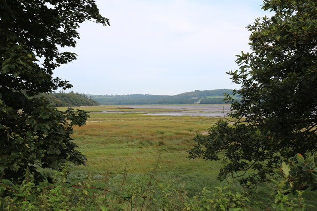
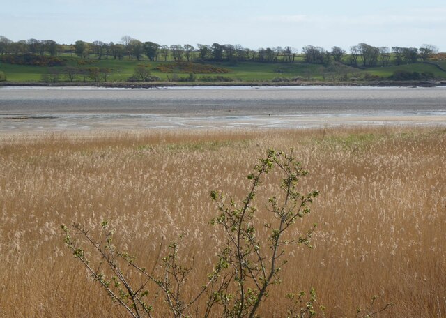
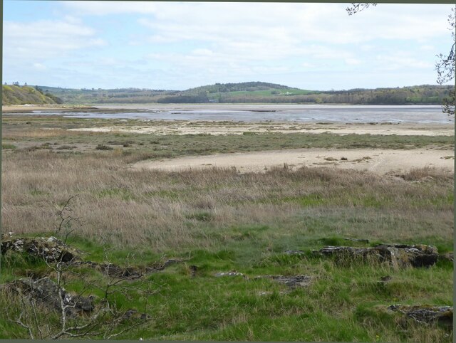
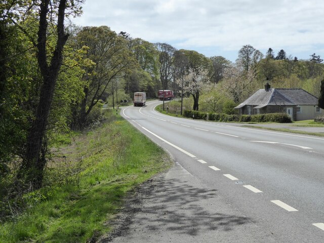
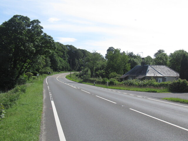
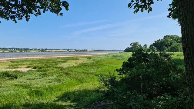
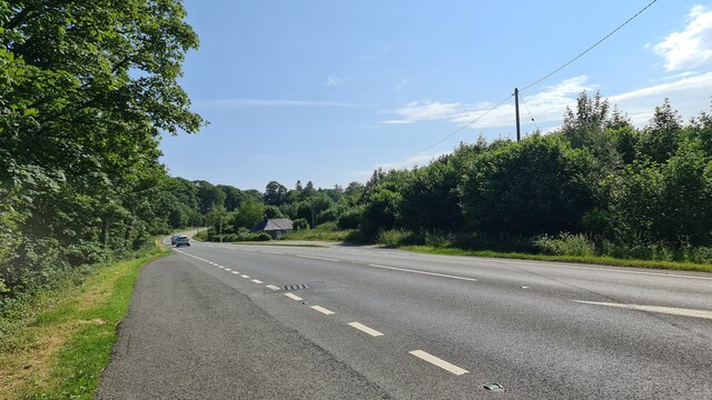
Airds Hill Images
Images are sourced within 2km of 54.84891/-4.2077014 or Grid Reference NX5852. Thanks to Geograph Open Source API. All images are credited.
Airds Hill is located at Grid Ref: NX5852 (Lat: 54.84891, Lng: -4.2077014)
Unitary Authority: Dumfries and Galloway
Police Authority: Dumfries and Galloway
What 3 Words
///dusty.surprised.lightens. Near Kirkcudbright, Dumfries & Galloway
Nearby Locations
Related Wikis

Ardwall House
Ardwall House is an eighteenth-century mansion near Gatehouse of Fleet in Dumfries and Galloway, Scotland. Built in 1762 for the McCullochs of Ardwall...

Girthon Old Parish Church
Girthon Old Parish Church is a ruined ecclesiastical building in Girthon, near Gatehouse of Fleet in Dumfries and Galloway. Built around 1620 on the foundations...

Cardoness Castle
Cardoness Castle is a well-preserved 15th-century tower house just south west of Gatehouse of Fleet, in the historical county of Kirkcudbrightshire in...

Cally Palace
Cally Palace, formerly known as Cally House, is an 18th-century country house in the historical county of Kirkcudbrightshire in Dumfries and Galloway...

Plunton Castle
Plunton Castle is a ruined L-plan tower house between Kirkandrews and Gatehouse of Fleet in Dumfries and Galloway, Scotland. Built around 1575 for the...
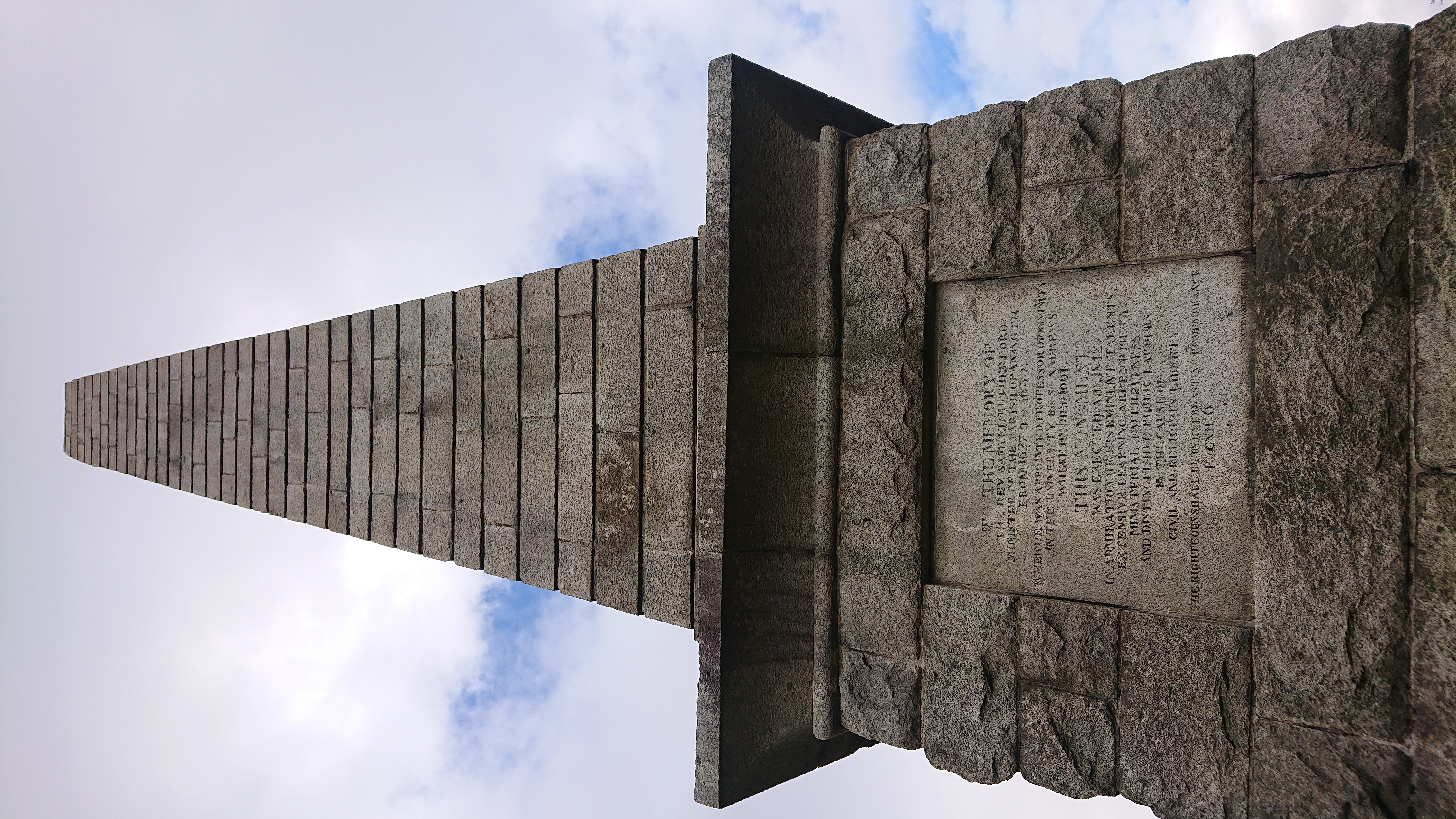
Rutherford's Monument
Rutherford's Monument is a commemorative monument between Anwoth and Gatehouse of Fleet in Dumfries and Galloway, Scotland. It is dedicated to the 17th...

Anwoth Parish Church
Anwoth Parish Church was built in 1826 to serve the parish of Anwoth in Dumfries and Galloway, Scotland. Designed by Walter Newall, it replaced Anwoth...

Anwoth
Anwoth is a settlement near the Solway Firth in the historic county of Kirkcudbrightshire, southwest Scotland, within a parish of the same name in the...
Have you been to Airds Hill?
Leave your review of Airds Hill below (or comments, questions and feedback).