Burrach Mòr

Hill, Mountain in Inverness-shire

Scotland

Burrach Mòr

Crossing high moorland at 750m on Carn na Saobhaidh
Crossing high moorland at 750m on Carn na Saobhaidh Credit: Sarah McGuire

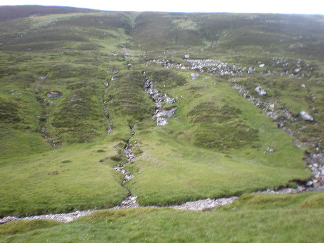
Burrach Mòr is a prominent hill located in the county of Inverness-shire, Scotland. It lies within the stunning Cairngorms National Park, which is renowned for its breathtaking landscapes and diverse wildlife. Standing at an impressive height of 893 meters (2,930 feet), Burrach Mòr is a popular destination for outdoor enthusiasts, hikers, and nature lovers.

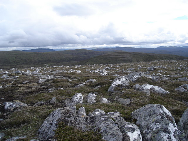
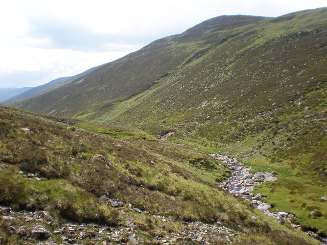
The hill is composed primarily of granite, giving it a rugged and distinctive appearance. Its steep slopes are covered with heather and grasses, providing a rich habitat for a variety of plant and animal species. On the lower slopes, birch and pine woodlands can be found, adding to the scenic beauty of the area.

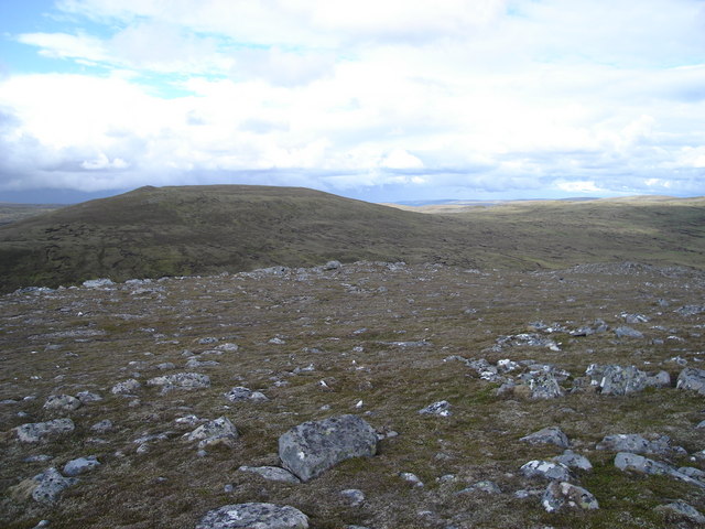
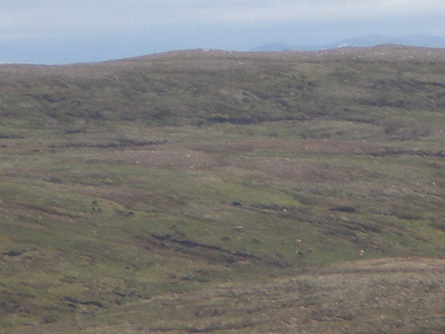
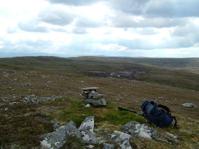
Burrach Mòr offers stunning panoramic views from its summit, with the surrounding landscape dotted with lochs, glens, and mountains. On a clear day, it is possible to see as far as the iconic Ben Nevis, the highest peak in the British Isles.

The hill is a popular hiking destination, with several well-marked trails leading to the summit. These trails vary in difficulty, catering to both experienced hikers and those seeking a more leisurely stroll. The ascent to the top can be challenging, particularly in winter when the hill is often covered in snow and ice.

Burrach Mòr provides a unique opportunity to experience the beauty of the Scottish Highlands, offering a true sense of wilderness and tranquility. Whether it is for hiking, wildlife spotting, or simply enjoying the awe-inspiring views, this hill is a must-visit for anyone exploring the Inverness-shire region.

If you have any feedback on the listing, please let us know in the comments section below.
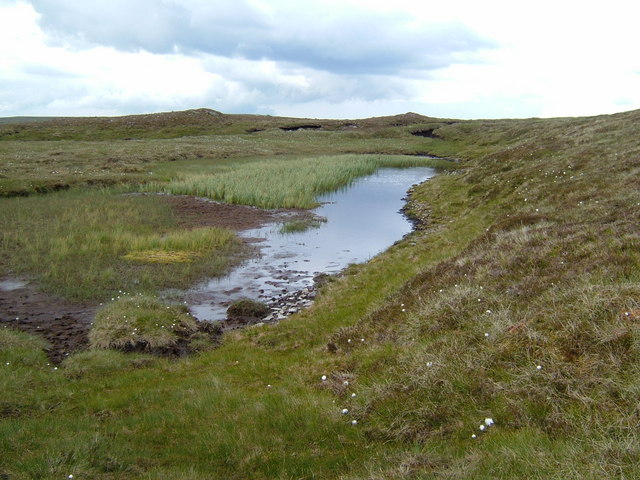
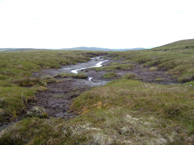
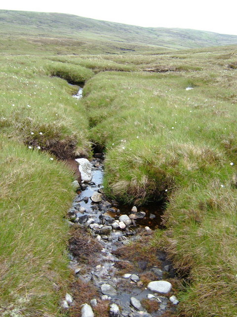
Burrach Mòr Images

Images are sourced within 2km of 57.144688/-4.3427776 or Grid Reference NH5808. Thanks to Geograph Open Source API. All images are credited.

Crossing high moorland at 750m on Carn na Saobhaidh
Looking southwest from Burrach Mor towards 801m top
Looking northeast towards Burrach Mor from 801m top
Deer Grazing on Carn a' Choire Ghlaise's Northern Slopes Peat haggs can be seen even at this distance.  Although ideal grouse moor I did not see any Grouse in Coire or shooting butts. I figured that was why there was no tracks. Must be a Deer Moor as they could be stalked from any of the surrounding hills.
Deer Grazing on Carn a' Choire Ghlaise's Northern Slopes
Peat haggs can be seen even at this distance. Although ideal grouse moor I did not see any Grouse in Coire or shooting butts. I figured that was why there was no tracks. Must be a Deer Moor as they could be stalked from any of the surrounding hills.
Glenmarkie Burn  Flowing into Glen Markie Sides of Burn were too steep to follow Glen Decided to follow Burn
Glenmarkie Burn Flowing into Glen Markie
Sides of Burn were too steep to follow Glen Decided to follow Burn
Sheilling By Glenmarkie Burn Waterfall This was one of the Stronelairg Lodge sheillings.  I had already passed several on way up Glen.  i was having lunch when I noticed I was sitting on ruined walls.  There were several such structures nearby. The upper reaches of Glen Marckie can be seen in background
Sheilling By Glenmarkie Burn Waterfall
This was one of the Stronelairg Lodge sheillings. I had already passed several on way up Glen. i was having lunch when I noticed I was sitting on ruined walls. There were several such structures nearby. The upper reaches of Glen Marckie can be seen in background
Glenmarkie Burn approaching Cut Very nice little burn here and once past waterfall can follow it quite easily until one reaches the cut in hill.
Glenmarkie Burn approaching Cut
Very nice little burn here and once past waterfall can follow it quite easily until one reaches the cut in hill.
Looking West from Carn a' Choire Ghlaise's 797m Top Cairn There was a long stretch of nearly dry peat lochans.
Looking West from Carn a' Choire Ghlaise's 797m Top Cairn
There was a long stretch of nearly dry peat lochans.
Lochan Feeding Glenmarkie Burn This lochan and tributary goes directly downhill to Glenmarkie Burn in Glen Markie.  The lochan is so high uphill, it is partially on stony ground on top.
Lochan Feeding Glenmarkie Burn
This lochan and tributary goes directly downhill to Glenmarkie Burn in Glen Markie. The lochan is so high uphill, it is partially on stony ground on top.
Glenmarkie Burn Tributary Before plunging down to Glen Floor See <a href="https://www.geograph.org.uk/gridref/NH7508">NH7508</a>
Glenmarkie Burn Tributary Before plunging down to Glen Floor
See NH7508
Glenmarkie Burn Descending Markie Glen Carn a' Choire Ghlaise can be seen above glen with Glenmarkie Burn tributary descending from lochan near Carn a' Choire Ghlaise's 797m top descending straight down. <a href="https://www.geograph.org.uk/gridref/NH5709">NH5709</a>
Glenmarkie Burn Descending Markie Glen
Carn a' Choire Ghlaise can be seen above glen with Glenmarkie Burn tributary descending from lochan near Carn a' Choire Ghlaise's 797m top descending straight down. NH5709
Glenmarkie Burn Source The main sources of the Glenmarkie Burn all seen to come from the same watershed within a very short distance from each other.
Glenmarkie Burn Source
The main sources of the Glenmarkie Burn all seen to come from the same watershed within a very short distance from each other.
Burn Coming Down from Watershed in Coire Mharconaich Coire Mharconaich supplies most of the water in Glenmarkie Burn.
Burn Coming Down from Watershed in Coire Mharconaich
Coire Mharconaich supplies most of the water in Glenmarkie Burn.
Looking Across Glen Markie to Burrach Mòr's NE Shoulder This photo was taken in upper reaches of Glen Markie. The Glenmarkie Burn had entered the glen further down. This was where the other tributaries come from. It was also hard going in glen as the Peat Haggs were deep and still had water in them.
Looking Across Glen Markie to Burrach Mòr's NE Shoulder
This photo was taken in upper reaches of Glen Markie. The Glenmarkie Burn had entered the glen further down. This was where the other tributaries come from. It was also hard going in glen as the Peat Haggs were deep and still had water in them.
Tributaries joining Glenmarkie Burn The tributaries are coming down from upper reaches of Glen Markie, through peat hags and were much smaller than the Glenmarkie Burn.  Burrach Mòr slopes were very steep here and I had to remain on left side of glen.
Tributaries joining Glenmarkie Burn
The tributaries are coming down from upper reaches of Glen Markie, through peat hags and were much smaller than the Glenmarkie Burn. Burrach Mòr slopes were very steep here and I had to remain on left side of glen.
Old Walled Shooting Butt These walls sat on top of a larger moss covered wall.  This one was
Old Walled Shooting Butt
These walls sat on top of a larger moss covered wall. This one was
Descending down to Glenmarkie Burn From Burrach Mòr's 801m upper slopes you can just see the ruined cottage and sheep pen at bend on burn
Descending down to Glenmarkie Burn
From Burrach Mòr's 801m upper slopes you can just see the ruined cottage and sheep pen at bend on burn
Glenmarkie Burn Coming Down Glen Markie From Burrach Mòr's 801m Moor above Glen Markie you can see quite a distance up the glen.  However when reaching higher ground you can't see much at all. The slopes are very wet with numerous burns and springs.
Glenmarkie Burn Coming Down Glen Markie
From Burrach Mòr's 801m Moor above Glen Markie you can see quite a distance up the glen. However when reaching higher ground you can't see much at all. The slopes are very wet with numerous burns and springs.
Show me another place!

Burrach Mòr is located at Grid Ref: NH5808 (Lat: 57.144688, Lng: -4.3427776)

Unitary Authority: Highland

Police Authority: Highlands and Islands

What 3 Words

///mock.constrain.variation. Near Newtonmore, Highland

Nearby Locations

Burrach Mòr

Related Wikis

Loch Killin

Loch Killin is a small freshwater loch in the Monadhliath Mountains, in Highland, Scotland, United Kingdom. == Geography == The loch is about 1.2 miles...

Càrn Dearg, Monadh Liath

Càrn Dearg is the highest peak of the Monadh Liath mountains in the Highlands of Scotland. Its eastern flanks slope steeply down into Glen Ballach, while...

Nearby Amenities

Located within 500m of 57.144688,-4.3427776
Burrach Mòr
Ele: 818
Natural: peak
Source: OS7
Lat/Long: 57.145714/-4.3424483
The data included in this document is from www.openstreetmap.org. The data is made available under ODbL.

Have you been to Burrach Mòr?

Leave your review of Burrach Mòr below (or comments, questions and feedback).