Creag a' Gheata
Hill, Mountain in Perthshire
Scotland
Creag a' Gheata

Creag a' Gheata, also known as the Hill of the Winds, is a prominent hill located in Perthshire, Scotland. Standing at an elevation of 1,122 feet (342 meters), it offers breathtaking panoramic views of the surrounding countryside.
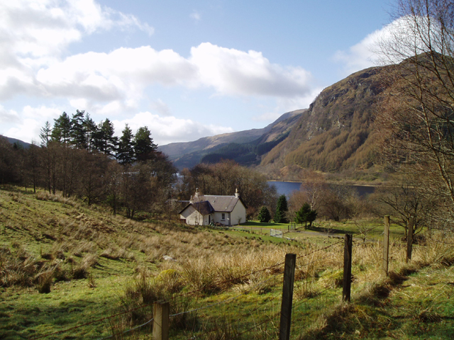
Situated near the charming village of Blairgowrie, Creag a' Gheata is easily accessible for both locals and visitors alike. The hill is a popular destination for hikers and outdoor enthusiasts due to its relatively easy ascent and well-defined paths. The route to the summit is marked by rocky terrain, heather-covered slopes, and occasional birch trees, providing a picturesque backdrop throughout the journey.
At the top of Creag a' Gheata, one can admire sweeping vistas of the rolling Perthshire landscape, including the verdant fields, meandering rivers, and distant mountains. On clear days, it is even possible to catch a glimpse of the Cairngorms National Park in the distance. The summit offers an ideal spot for a picnic or simply to bask in the tranquility of the natural surroundings.
Aside from its scenic beauty, Creag a' Gheata holds historical significance as well. The hill is believed to have been a meeting place for the local community in ancient times. A stone circle, known as the "Druid's Stone," can still be found at the foot of the hill, adding an air of mystery and intrigue to the area.
Overall, Creag a' Gheata is a captivating destination for those seeking a peaceful and rewarding outdoor experience. Its accessibility, stunning views, and rich history make it an ideal location to immerse oneself in the beauty of Perthshire's natural landscape.
If you have any feedback on the listing, please let us know in the comments section below.
Creag a' Gheata Images
Images are sourced within 2km of 56.305338/-4.2909647 or Grid Reference NN5814. Thanks to Geograph Open Source API. All images are credited.


![Bothan Eas An Eoin Ruin, with evidence of rig and furrow nearby. For more information see Canmore.org.uk. Bothan Eas An Eoin | Canmore. Available online at: <span class="nowrap"><a title="https://canmore.org.uk/site/82041/bothan-eas-an-eoin" rel="nofollow ugc noopener" href="https://canmore.org.uk/site/82041/bothan-eas-an-eoin">Link</a><img style="margin-left:2px;" alt="External link" title="External link - shift click to open in new window" src="https://s1.geograph.org.uk/img/external.png" width="10" height="10"/></span> [Accessed 31 May 2022].
](https://s2.geograph.org.uk/geophotos/07/18/78/7187802_fe33d58b.jpg)


Creag a' Gheata is located at Grid Ref: NN5814 (Lat: 56.305338, Lng: -4.2909647)
Unitary Authority: Stirling
Police Authority: Forth Valley
What 3 Words
///altering.mows.aspect. Near Callander, Stirling
Nearby Locations
Related Wikis
Ardchullarie More
Ardchullarie More is a small hamlet in the Stirling council area, Scotland and is situated on the eastern side of Loch Lubnaig. == External links == Scottish...

Loch Lubnaig
Loch Lubnaig (Loch Lùbnaig in Gaelic) is a small freshwater loch near Callander in the Stirling council area, Scottish Highlands. It lies in the former...

Beinn Each
Beinn Each (813 m) is a mountain in the southern Grampian Mountains of Scotland. It is located in Stirlingshire, north of the town of Callander. Rising...

Strathyre
Strathyre (; from Scottish Gaelic: Srath Eadhair) is a district and settlement in the Stirling local government district of Scotland. It forms the south...
Nearby Amenities
Located within 500m of 56.305338,-4.2909647Have you been to Creag a' Gheata?
Leave your review of Creag a' Gheata below (or comments, questions and feedback).