Craigash

Hill, Mountain in Stirlingshire

Scotland

Craigash

Mugdock Hill Much land around big cities is occupied by horses..
Mugdock Hill Credit: Richard Webb

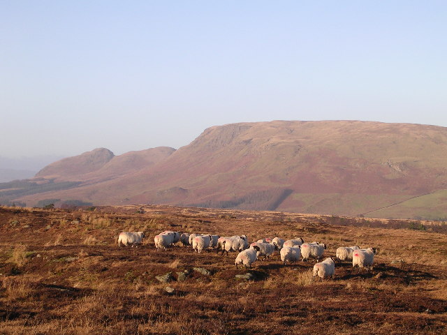
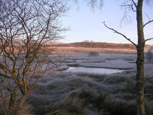
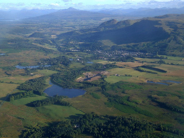
Craigash is a prominent hill located in Stirlingshire, Scotland. Situated in the southern part of the county, it forms a part of the larger Ochil Hills range. The hill is known for its picturesque landscapes and offers panoramic views of the surrounding countryside, making it a popular destination for hikers and nature enthusiasts.

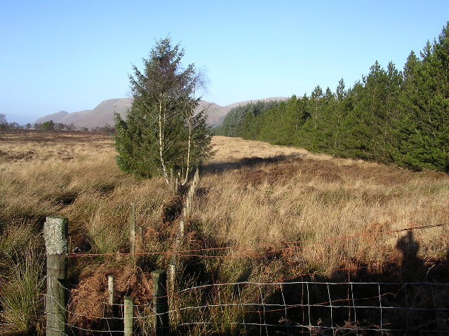
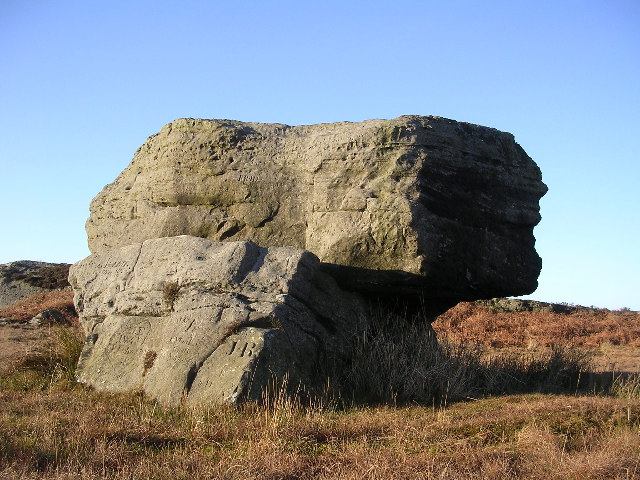
Standing at an elevation of approximately 1,176 feet (358 meters), Craigash is not considered a towering mountain but still provides a challenging climb due to its steep slopes and rocky terrain. The hill is covered in vibrant heather, grasses, and scattered shrubs, adding to its natural beauty.

The summit of Craigash offers breathtaking views of the surrounding areas, including the nearby village of Menstrie and the city of Stirling. On a clear day, it is even possible to see as far as the iconic Wallace Monument and the historic Stirling Castle.

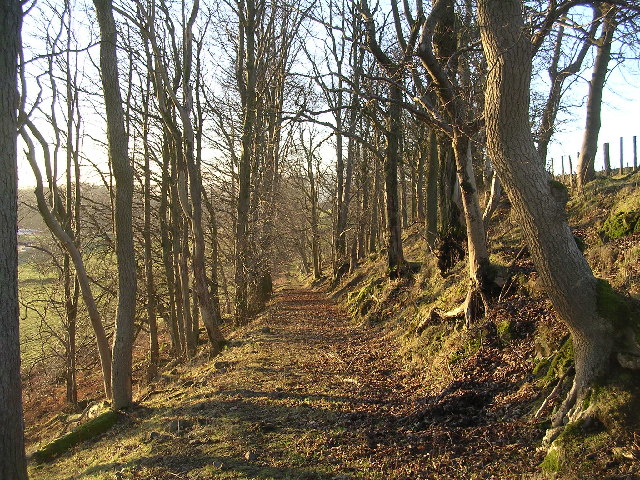
The hill is accessible from several directions, with paths and trails leading to its peak. These routes vary in difficulty, catering to both experienced hikers and beginners. Along the way, visitors may encounter diverse wildlife such as deer, rabbits, and various bird species.

Craigash is not only a haven for outdoor activities but also holds historical significance. It is believed that the hill was once used as a meeting place for ancient gatherings, leaving behind remnants of ancient settlements and burial sites.

Overall, Craigash in Stirlingshire offers a captivating blend of natural beauty, challenging terrain, and historical intrigue, making it an attractive destination for those seeking adventure and exploration.

If you have any feedback on the listing, please let us know in the comments section below.
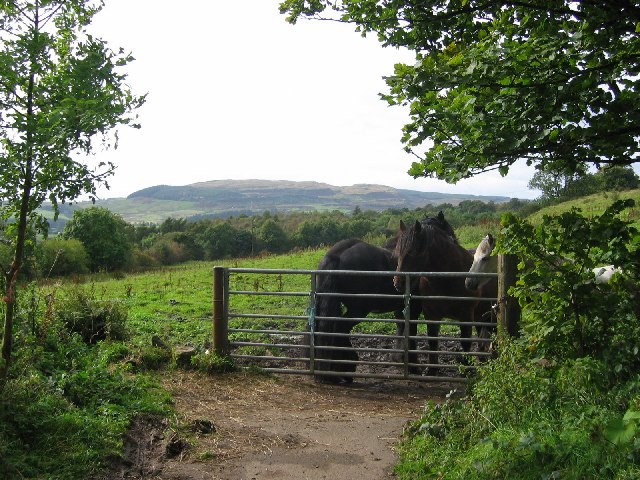
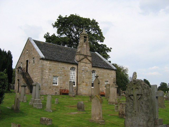
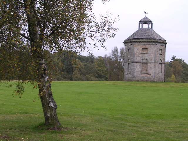
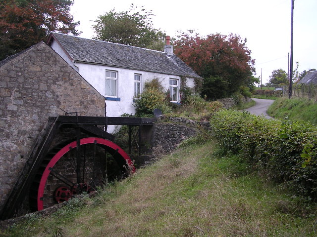
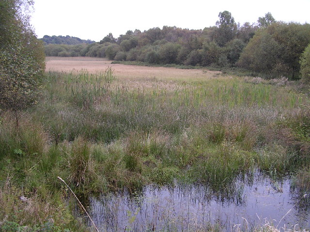
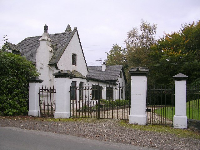
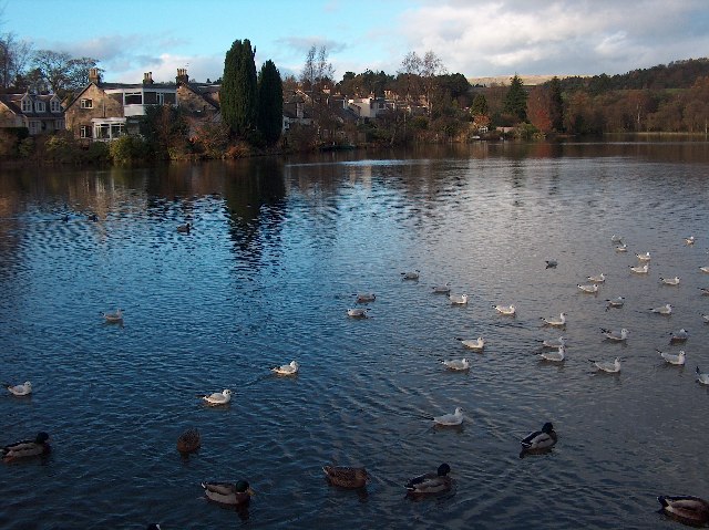
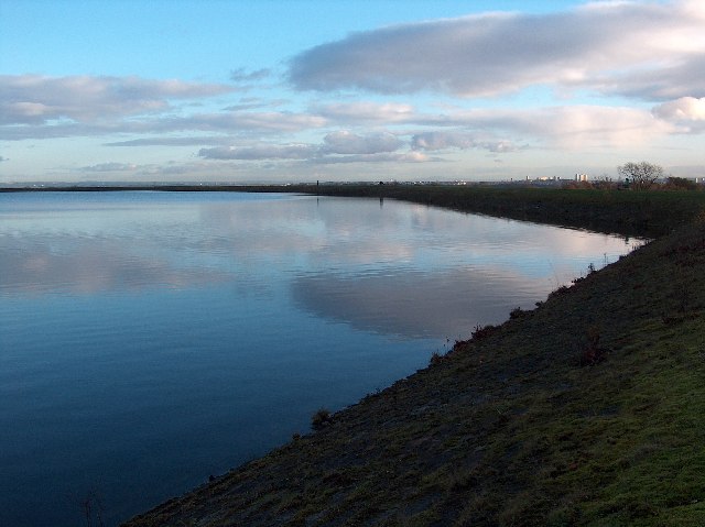
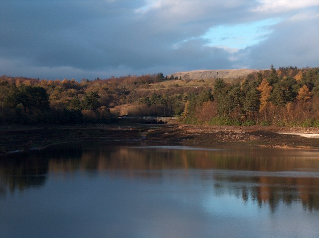
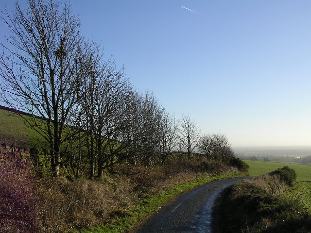
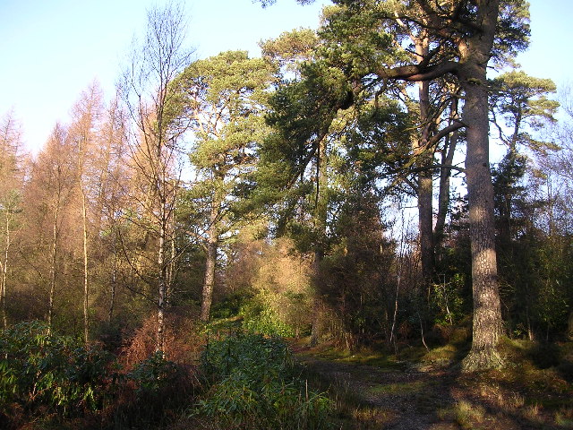
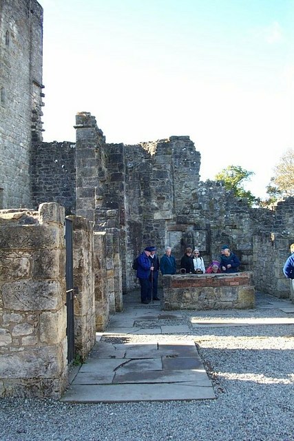
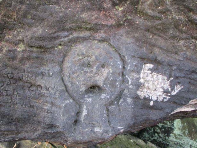
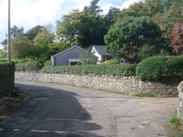
Craigash Images

Images are sourced within 2km of 55.957332/-4.2974463 or Grid Reference NS5676. Thanks to Geograph Open Source API. All images are credited.

Mugdock Hill Much land around big cities is occupied by horses..
Mugdock Hill
Much land around big cities is occupied by horses..
Baldernock Parish Church, near Milngavie, East Dunbartonshire Built 1795
Baldernock Parish Church, near Milngavie, East Dunbartonshire
Built 1795
Dovecot on Dougalston Golf Course Hexagonal in shape, this dovecote probably dates from the middle or latter half of the eighteenth century
Dovecot on Dougalston Golf Course
Hexagonal in shape, this dovecote probably dates from the middle or latter half of the eighteenth century
Baldernock Mill The mill buildings date from the 16th century. The present water wheel is 18ft in diameter and has 48 steel buckets.
Baldernock Mill
The mill buildings date from the 16th century. The present water wheel is 18ft in diameter and has 48 steel buckets.
Loch Ardinning Wildlife Reserve Managed by Scottish Wildlife Trust
Loch Ardinning Wildlife Reserve
Managed by Scottish Wildlife Trust
Gatehouse to Mugdock Estate Gatehouse at eastern edge of Mugdock Country Park
Gatehouse to Mugdock Estate
Gatehouse at eastern edge of Mugdock Country Park
Tannoch Loch, Milngavie A small loch in a residential area, much loved by wildfowl and locals. Campsie Fells in the distance beyond the woodland.
Tannoch Loch, Milngavie
A small loch in a residential area, much loved by wildfowl and locals. Campsie Fells in the distance beyond the woodland.
Craigmaddie Reservoir, Milngavie Late autumn afternoon. Glasgow tower blocks in the distance. Tinto Hill near Peebles faintly visible on the horizon.
Craigmaddie Reservoir, Milngavie
Late autumn afternoon. Glasgow tower blocks in the distance. Tinto Hill near Peebles faintly visible on the horizon.
Mugdock Reservoir, Nr Milngavie Late autumn afternoon. Campsie Fells in the distance beyond Mugdock Wood.
Mugdock Reservoir, Nr Milngavie
Late autumn afternoon. Campsie Fells in the distance beyond Mugdock Wood.
Country road, Blochairn Quiet country road on Christmas Eve
Country road, Blochairn
Quiet country road on Christmas Eve
Craigmaddie Plantation Mature Scots Pines amongst much newer fir trees
Craigmaddie Plantation
Mature Scots Pines amongst much newer fir trees
Muirhouse Muir Fence corner at corner of forest, looking across Muirhouse Muir towards Dumgoyne and the Campsie Fells
Muirhouse Muir
Fence corner at corner of forest, looking across Muirhouse Muir towards Dumgoyne and the Campsie Fells
Sheep on Craigmaddie Muir
Auld Wives' Lifts Mysterious altar of three large rocks on Craigmaddie Muir
Auld Wives' Lifts
Mysterious altar of three large rocks on Craigmaddie Muir
Woodland track near Easterton Farm
Black Linn, near Craigmaddie Small lochan and marshland. Looking towards Muirhouse Muir on Christmas Day morning.
Black Linn, near Craigmaddie
Small lochan and marshland. Looking towards Muirhouse Muir on Christmas Day morning.
Mugdock Country Park. An interior view of the castle.
Mugdock Country Park.
An interior view of the castle.
Auld Wives' Lifts Head carved on the natural rock formation known as the Auld Wives' Lifts on Craigmaddie Muir.
Auld Wives' Lifts
Head carved on the natural rock formation known as the Auld Wives' Lifts on Craigmaddie Muir.
Show me another place!

Craigash is located at Grid Ref: NS5676 (Lat: 55.957332, Lng: -4.2974463)

Unitary Authority: East Dunbartonshire

Police Authority: Greater Glasgow

What 3 Words

///moons.alarm.talent. Near Milngavie, East Dunbartonshire

Nearby Locations

Craigash

Related Wikis

Milngavie water treatment works

Milngavie water treatment works (commonly known as The Waterworks) is a Scottish Water-operated water treatment facility located in Milngavie, Scotland...

Mugdock

Mugdock is a hamlet in Stirlingshire, Scotland. It lies to the south of the village of Strathblane, and was in the civil parish. In the past the hamlet...

Loch Ardinning

Loch Ardinning (Scottish Gaelic: Loch Àird Dùnain) is a body of freshwater in the district of Stirling in Scotland, lying to the south of the village of...

Heatherbank House

Heatherbank House is an early 19th century private house located in Milngavie, Scotland and is one of the oldest buildings in the town. It is the former...

Nearby Amenities

Located within 500m of 55.957332,-4.2974463
Power: tower
Lat/Long: 55.9568745/-4.2905155
Power: tower
Lat/Long: 55.9576037/-4.2954878
Power: tower
Lat/Long: 55.9585238/-4.3017701
Barrier: lift_gate
Lat/Long: 55.9569843/-4.3045152
The data included in this document is from www.openstreetmap.org. The data is made available under ODbL.

Have you been to Craigash?

Leave your review of Craigash below (or comments, questions and feedback).