Bardennoch Hill
Hill, Mountain in Kirkcudbrightshire
Scotland
Bardennoch Hill
Bardennoch Hill, located in the region of Kirkcudbrightshire in Scotland, is a prominent hill that rises approximately 297 meters (974 feet) above sea level. It forms part of the Galloway Hills, which are known for their stunning natural beauty and diverse wildlife.
The hill can be found about 3 miles northeast of the town of Gatehouse of Fleet, making it easily accessible for hikers and nature enthusiasts. Its location offers panoramic views of the surrounding countryside, including the nearby Loch Ken and the Galloway Forest Park.
Bardennoch Hill is primarily composed of granite and is characterized by its gently sloping terrain, making it a relatively straightforward climb for visitors of all abilities. The hill is covered in a mix of heather and grass, providing habitat for a variety of bird species such as grouse and curlews.
At the summit of Bardennoch Hill, visitors are rewarded with breathtaking views of the surrounding landscape, with the Solway Firth and the hills of the Lake District visible on clear days. The hill also boasts several ancient cairns, which are believed to be remnants of prehistoric settlements.
The area surrounding Bardennoch Hill offers ample opportunities for outdoor activities such as walking, hiking, and birdwatching. It is a popular destination for nature lovers and those seeking tranquility amidst the picturesque Scottish countryside.
If you have any feedback on the listing, please let us know in the comments section below.
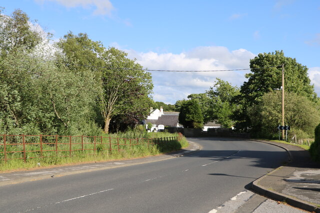
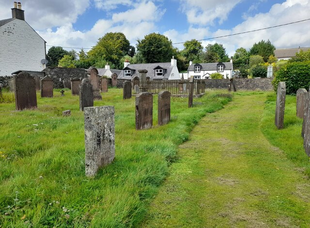
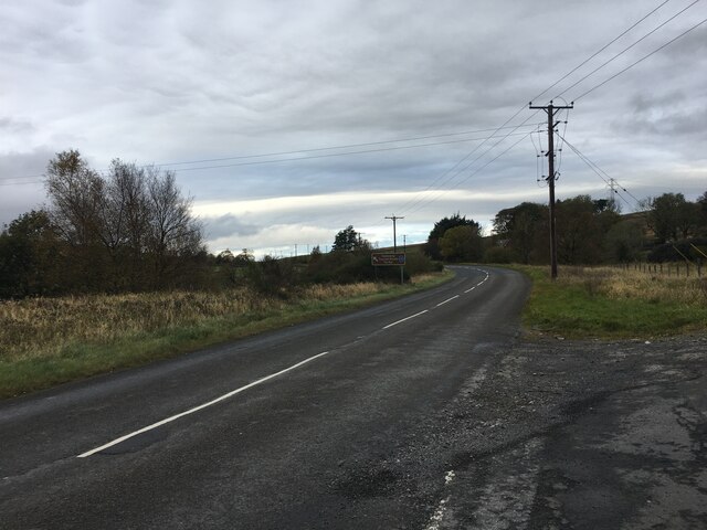
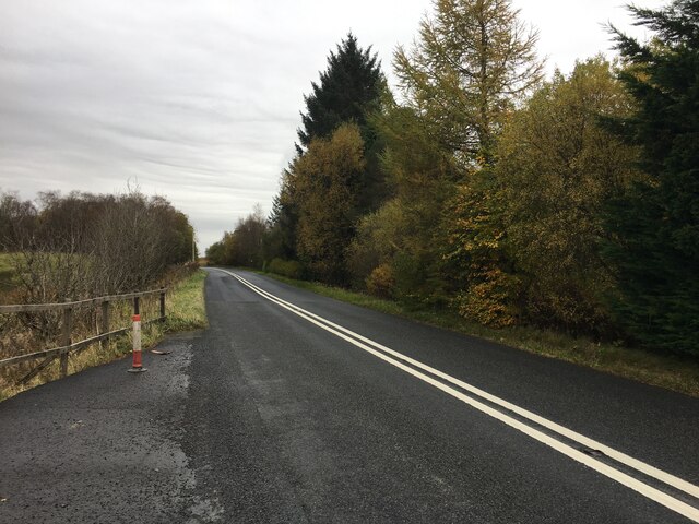
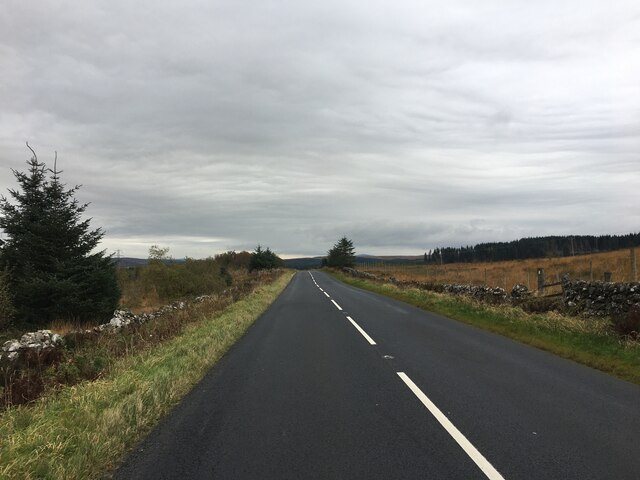
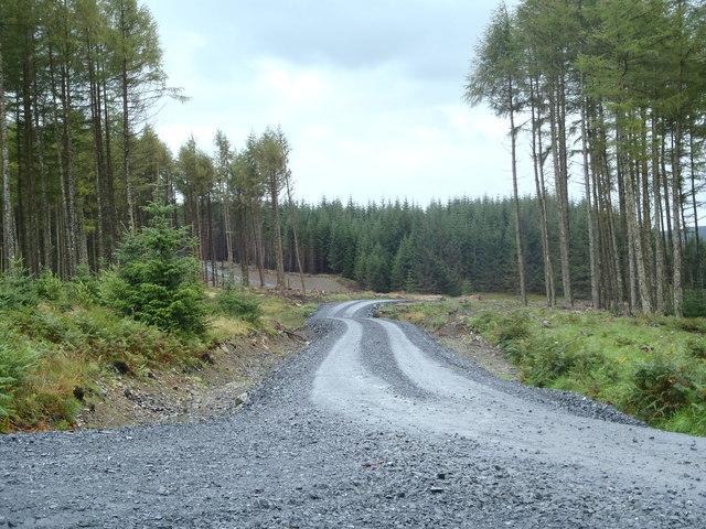
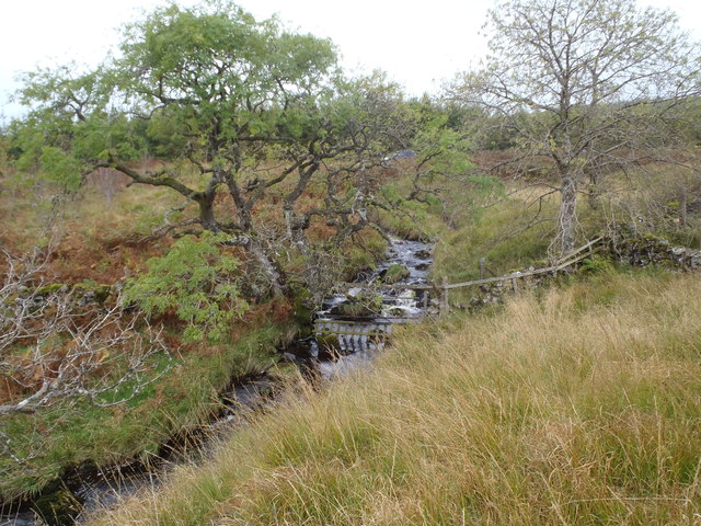
Bardennoch Hill Images
Images are sourced within 2km of 55.196655/-4.2533204 or Grid Reference NX5691. Thanks to Geograph Open Source API. All images are credited.


Bardennoch Hill is located at Grid Ref: NX5691 (Lat: 55.196655, Lng: -4.2533204)
Unitary Authority: Dumfries and Galloway
Police Authority: Dumfries and Galloway
What 3 Words
///teeth.flinch.meanwhile. Near Bellsbank, East Ayrshire
Nearby Locations
Related Wikis

Carsphairn
Carsphairn (Scottish Gaelic: An Còrsa Feàrna) is a village in the historic county of Kirkcudbrightshire in Dumfries and Galloway, Scotland. It is located...

Waukers Linn
Waukers Linn is a waterfall on Polharrow Burn in Dumfries and Galloway, Scotland. == See also == Waterfalls of Scotland == References ==

Cairnsmore of Carsphairn
Cairnsmore of Carsphairn is a hill in the Carsphairn and Scaur Hills range, part of the Southern Uplands of Scotland. An alternative name, rarely used...

Polharrow Burn
Polharrow Burn is a small watercourse in Dumfries and Galloway, Scotland, in the historic county of Kirkcudbrightshire. It rises in Loch Harrow and flows...
Nearby Amenities
Located within 500m of 55.196655,-4.2533204Have you been to Bardennoch Hill?
Leave your review of Bardennoch Hill below (or comments, questions and feedback).