Am Beannan

Hill, Mountain in Perthshire

Scotland

Am Beannan

Boundary wall between two bits of very similar land
Boundary wall between two bits of very similar land Credit: Alan Stewart

Am Beannan is a prominent hill located in the county of Perthshire, Scotland. Standing at an impressive height of 1,019 meters (3,343 feet), it is recognized as one of the highest peaks in the region. The hill is part of the Grampian Mountains, specifically situated in the southern Cairngorms range.

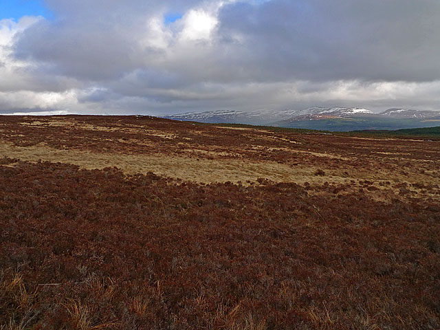
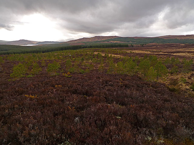
Am Beannan offers breathtaking panoramic views of the surrounding landscape, making it a popular destination for hikers, nature enthusiasts, and photographers alike. Its summit provides a vantage point that allows visitors to admire the beauty of the Scottish Highlands, with rolling hills, deep valleys, and picturesque lochs visible in the distance.

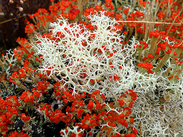
The terrain on Am Beannan is rugged and challenging, with steep slopes covered in heather and grasses. The hill is particularly known for its rocky outcrops and craggy cliffs, adding to its allure and providing a sense of adventure to those who choose to explore it.

Accessing Am Beannan typically involves a moderate to strenuous hike, as there are no dedicated paths leading to the summit. However, the stunning views and sense of accomplishment upon reaching the peak make the effort worthwhile. It is recommended to be properly equipped, including appropriate footwear and clothing, as the weather conditions can change rapidly and become unpredictable.

Overall, Am Beannan in Perthshire offers a rewarding and awe-inspiring experience for outdoor enthusiasts seeking a challenging yet beautiful mountain adventure in the heart of Scotland.

If you have any feedback on the listing, please let us know in the comments section below.
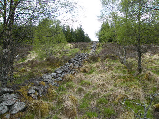
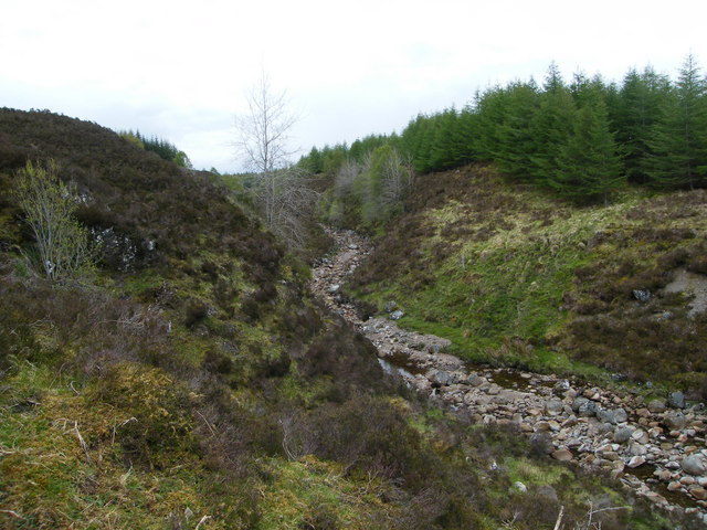
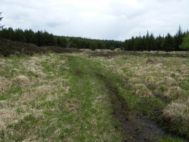
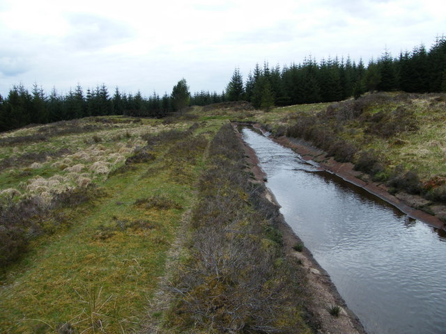
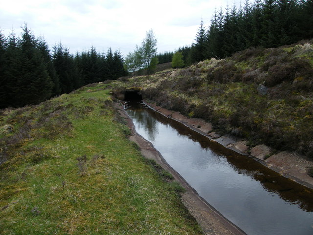
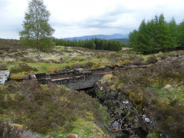
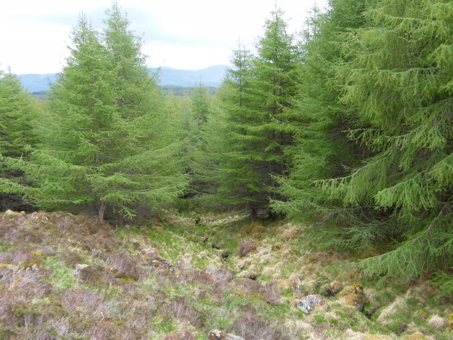
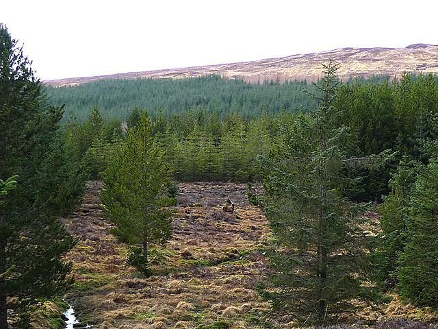
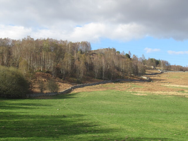
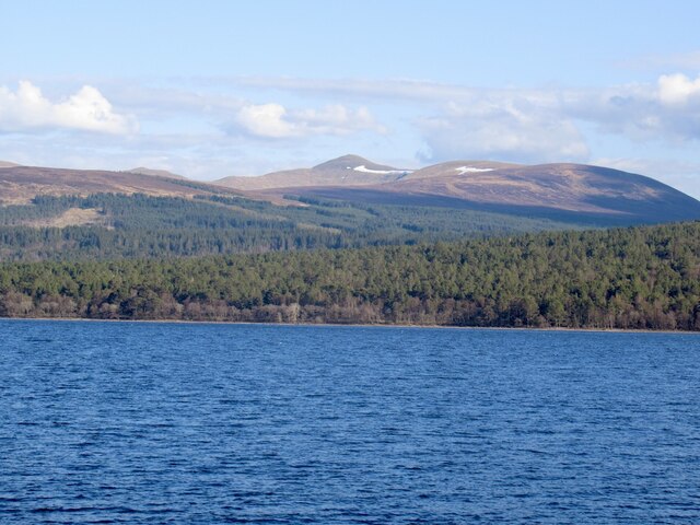
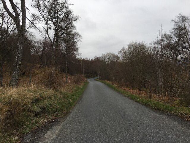
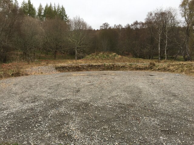
Am Beannan Images

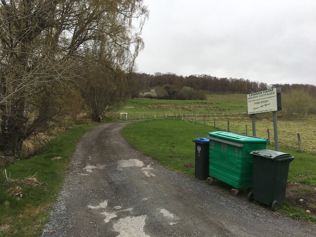
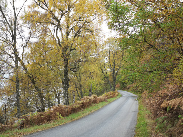
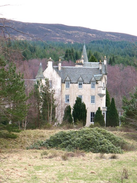
Images are sourced within 2km of 56.699447/-4.3505417 or Grid Reference NN5658. Thanks to Geograph Open Source API. All images are credited.

Boundary wall between two bits of very similar land
Last steep climb before the land levels off The river is more like a damp boulder field now, due to the hydro aqueduct up ahead.
Last steep climb before the land levels off
The river is more like a damp boulder field now, due to the hydro aqueduct up ahead.
River to the right and a fairly disused looking path leads left
Aqueduct Leading towards the Hydro Electric facility at bridge of Ericht. The aqueduct starts off slow and doesn't get much faster.
Aqueduct
Leading towards the Hydro Electric facility at bridge of Ericht. The aqueduct starts off slow and doesn't get much faster.
Sometimes it goes through pipes
Multiple bridges At this point, where the track from the forest out to the moors crosses the path of the aqueduct, there's a wooden bridge for the track over the aqueduct and a sunken concrete canal way for the aqueduct to pass.
Multiple bridges
At this point, where the track from the forest out to the moors crosses the path of the aqueduct, there's a wooden bridge for the track over the aqueduct and a sunken concrete canal way for the aqueduct to pass.
Not good enough for the aqueduct? Some of the small streams feed into the aqueduct, others are piped underneath it. There is no apparent reason why there's a difference.
Not good enough for the aqueduct?
Some of the small streams feed into the aqueduct, others are piped underneath it. There is no apparent reason why there's a difference.
Forest clearing In the centre of the clearing is a red deer stag, with a missing left antler.
Forest clearing
In the centre of the clearing is a red deer stag, with a missing left antler.
Moorland north of Loch Rannoch Patches of heather and bog. Hills south of Loch Rannoch in the distance. This area is shown as forest on the OS maps, but there are large areas of open moorland with scattered plantations of scots pine.
Moorland north of Loch Rannoch
Patches of heather and bog. Hills south of Loch Rannoch in the distance. This area is shown as forest on the OS maps, but there are large areas of open moorland with scattered plantations of scots pine.
Moorland and forestry planting Although this area is shown as forest on the OS 1:50,000 map, much of it is moorland. There has been some planting of scots pines. In the distance is the western end of Loch Rannoch.
Moorland and forestry planting
Although this area is shown as forest on the OS 1:50,000 map, much of it is moorland. There has been some planting of scots pines. In the distance is the western end of Loch Rannoch.
Cladonia lichens (crotal) All of the common soil-dwelling lichens of the Scottish uplands belong to the genus Cladonia: In the centre of the image are the delicate branches of Cladonia portentosa. The small stalked cup-like structures with red fruiting bodies belong to a different species of Cladonia.
Cladonia lichens (crotal)
All of the common soil-dwelling lichens of the Scottish uplands belong to the genus Cladonia: In the centre of the image are the delicate branches of Cladonia portentosa. The small stalked cup-like structures with red fruiting bodies belong to a different species of Cladonia.
Woodland by Loch Rannoch
Field by Loch Rannoch
Loch Rannoch Southwards view towards The Black Wood and Carn Gorm.
Loch Rannoch
Southwards view towards The Black Wood and Carn Gorm.
B846 along Loch Rannoch
Cleared ground near Loch Rannoch
Road to Learan Farm
Road to Learan Farm
B846 approaching Liarn Farm The B846 heading west on the north side of Loch Rannoch approaching Liarn Farm the buildings of which are set above the road.
B846 approaching Liarn Farm
The B846 heading west on the north side of Loch Rannoch approaching Liarn Farm the buildings of which are set above the road.
Show me another place!

Am Beannan is located at Grid Ref: NN5658 (Lat: 56.699447, Lng: -4.3505417)

Unitary Authority: Perth and Kinross

Police Authority: Tayside

What 3 Words

///tiling.speakers.waggled. Near Pubil, Perth & Kinross

Nearby Locations

Am Beannan

Related Wikis

Loch Rannoch

Loch Rannoch (Scottish Gaelic: Loch Raineach) is a freshwater loch in Perth and Kinross, Scotland. It is over 15 kilometres (9.3 mi) long in a west–east...

Loch Rannoch and Glen Lyon National Scenic Area

The Loch Rannoch and Glen Lyon National Scenic Area is a national scenic area (NSA) covering the area surrounding Loch Rannoch, Glen Lyon, and the Ben...

Rannoch

Rannoch (Scottish Gaelic: Raineach or Raithneach, meaning 'bracken') is an area of the Scottish Highlands between the A9 road, to the east, and the A82...

Rannoch School

Rannoch School was an independent boarding school, located on the south shore of Loch Rannoch in Perth and Kinross, Scotland on the Dall Estate, 6 miles...

Nearby Amenities

Located within 500m of 56.699447,-4.3505417
Am Beannan
Ele: 386
Natural: peak
Lat/Long: 56.6990866/-4.3504692
The data included in this document is from www.openstreetmap.org. The data is made available under ODbL.

Have you been to Am Beannan?

Leave your review of Am Beannan below (or comments, questions and feedback).