Am Fireach
Hill, Mountain in Perthshire
Scotland
Am Fireach
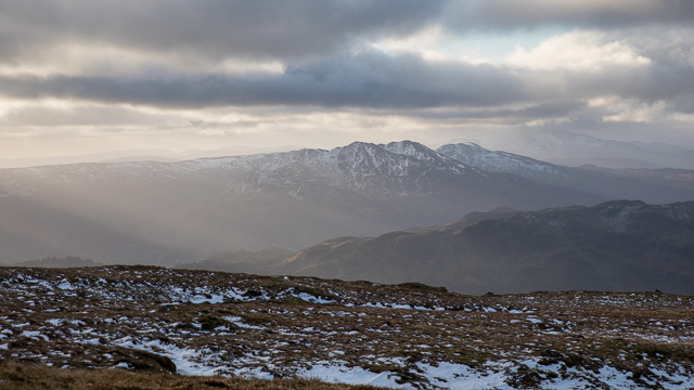
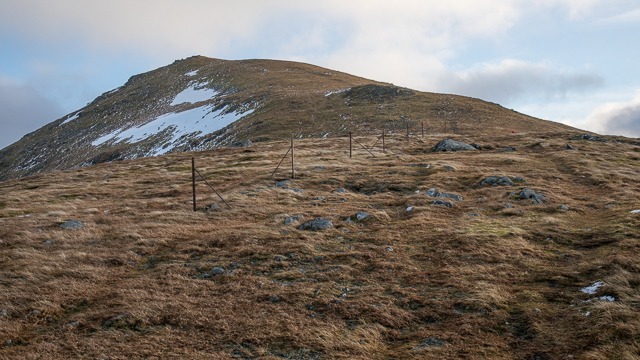
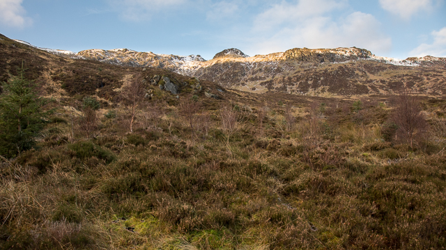
Am Fireach is a prominent hill located in Perthshire, Scotland. With an elevation of approximately 1,031 meters (3,383 feet), it is classified as a Munro, a term used for Scottish mountains over 3,000 feet high. Am Fireach is part of the Grampian Mountains range, which stretches across the Scottish Highlands.
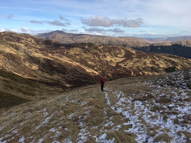
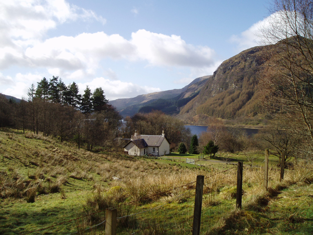
The hill offers breathtaking panoramic views of the surrounding landscape, making it a popular destination for hikers and nature enthusiasts. Its distinctive shape and rugged terrain make it a challenging but rewarding climb. The ascent to the summit typically involves traversing steep slopes, rocky outcrops, and occasionally boggy ground, providing an exciting adventure for experienced climbers.
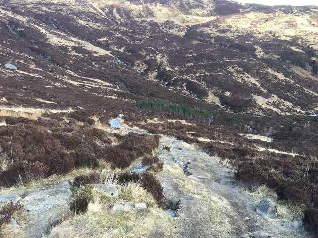
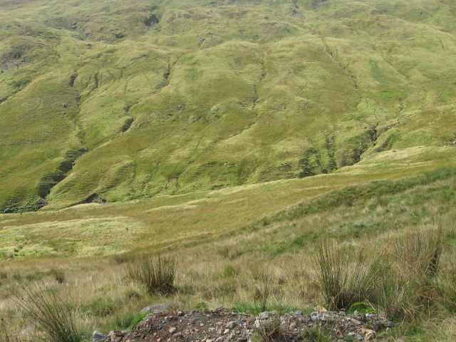
The flora and fauna found on Am Fireach are diverse, with heather, grasses, and mosses covering the lower slopes, gradually transitioning into stony ground and sparse vegetation as the altitude increases. The hill is also home to a variety of bird species, including peregrine falcons, golden eagles, and ptarmigans.
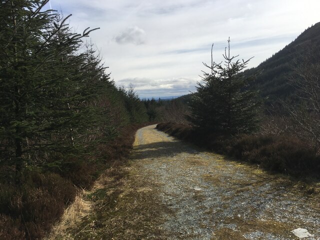
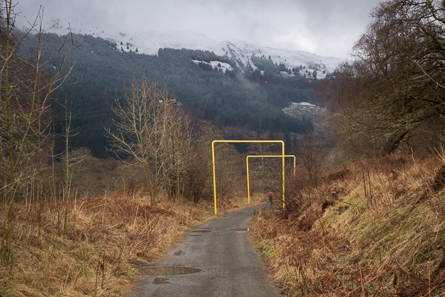
Am Fireach is easily accessible from nearby towns such as Pitlochry and Aberfeldy, with various hiking routes available for different levels of experience. It is advisable to check weather conditions and pack appropriate gear, including sturdy footwear, warm clothing, and navigational equipment, before embarking on a climb.
Overall, Am Fireach offers an exhilarating and rewarding experience for outdoor enthusiasts, combining stunning scenery, challenging terrain, and an abundance of wildlife.
If you have any feedback on the listing, please let us know in the comments section below.
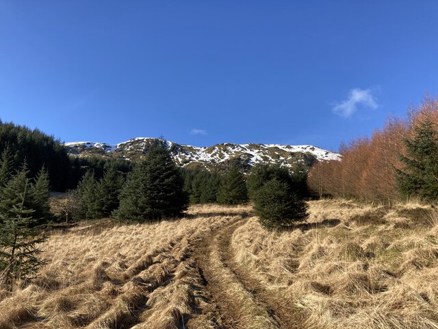
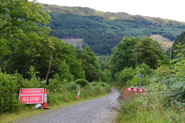
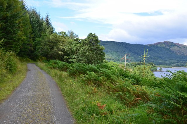
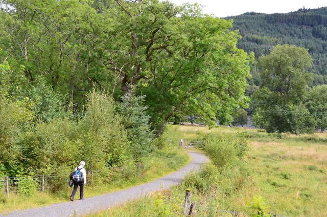
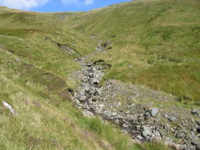
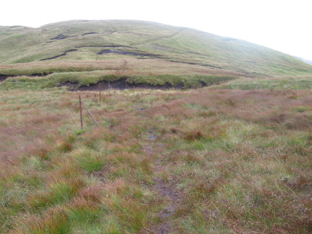
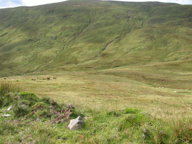
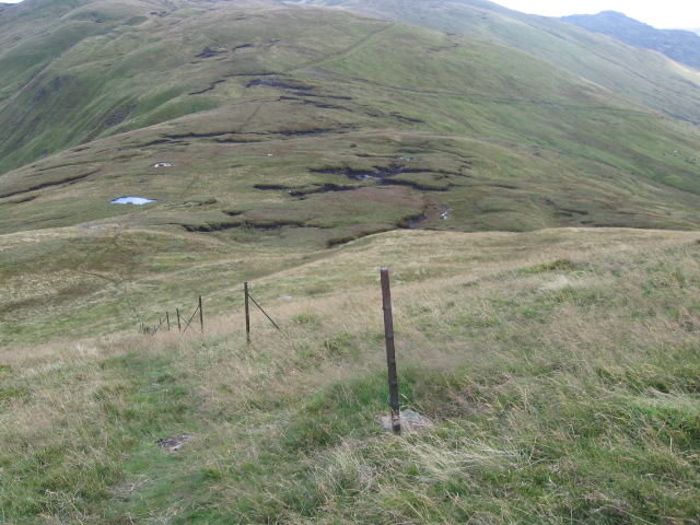
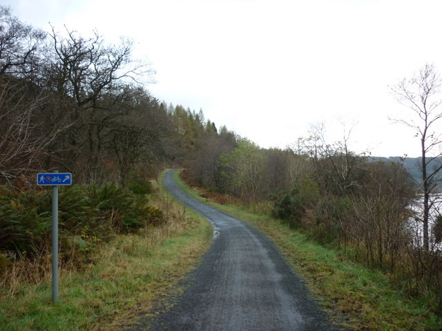
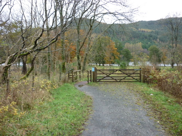
Am Fireach Images
Images are sourced within 2km of 56.282997/-4.3265944 or Grid Reference NN5612. Thanks to Geograph Open Source API. All images are credited.
Am Fireach is located at Grid Ref: NN5612 (Lat: 56.282997, Lng: -4.3265944)
Unitary Authority: Stirling
Police Authority: Forth Valley
What 3 Words
///envoy.saddens.consumed. Near Callander, Stirling
Nearby Locations
Related Wikis

Loch Lubnaig
Loch Lubnaig (Loch Lùbnaig in Gaelic) is a small freshwater loch near Callander in the Stirling council area, Scottish Highlands. It lies in the former...
Ardchullarie More
Ardchullarie More is a small hamlet in the Stirling council area, Scotland and is situated on the eastern side of Loch Lubnaig. == External links == Scottish...

Ben Ledi
Ben Ledi (Beinn Leitir in Scottish Gaelic) is a mountain in Stirling, Scotland. It is 879 metres (2,884 feet) high, and is therefore classified as a Corbett...

Benvane
Benvane (Scottish Gaelic: Beinn Bhàn) is a mountain in the Trossachs, in Stirling council area, Scotland. It lies within Loch Lomond and The Trossachs...
Nearby Amenities
Located within 500m of 56.282997,-4.3265944Have you been to Am Fireach?
Leave your review of Am Fireach below (or comments, questions and feedback).