Ardnandave Hill

Hill, Mountain in Perthshire

Scotland

Ardnandave Hill

Looking towards Creag Chaoruinneach from alpine meadow north of the Allt Mor A quadbike track winds a devious way through the young pines until it reaches the deer fence below Guala Ghorm
Looking towards Creag Chaoruinneach from alpine meadow north of the Allt Mor Credit: Chris

Ardnandave Hill is a prominent geographical feature located in Perthshire, Scotland. With an elevation of approximately 262 meters (860 feet), it is classified as a hill rather than a mountain. Situated near the small village of Methven, Ardnandave Hill offers picturesque views of the surrounding countryside.

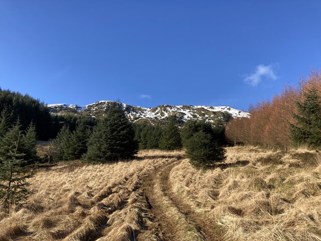
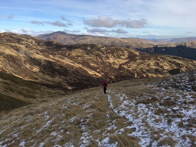
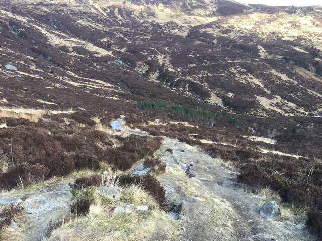
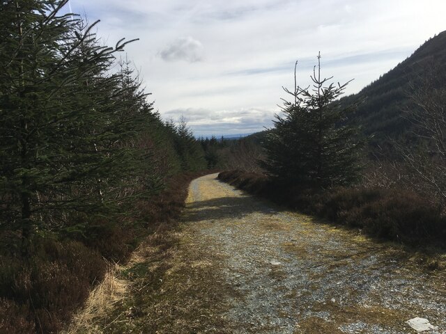
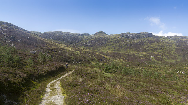
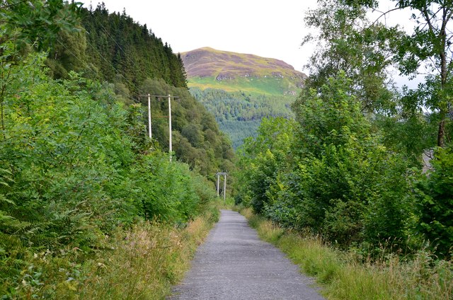
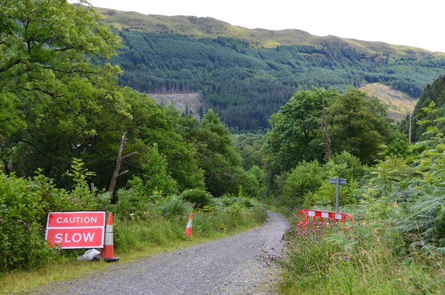
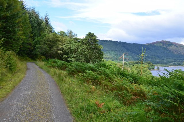
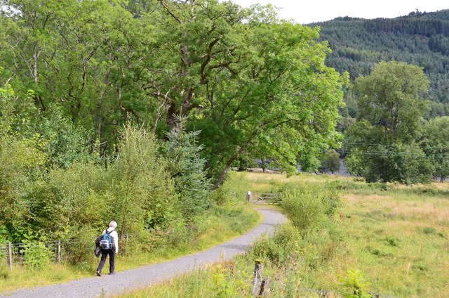
The hill is primarily composed of rocky terrain, covered in heather and grasses that change colors with the seasons. It is a popular destination for hikers and nature enthusiasts, offering various trails and paths for exploration. The terrain can be steep in some areas, providing a moderate challenge for those seeking a more adventurous experience.

Ardnandave Hill is known for its rich biodiversity, boasting a diverse range of plant and animal species. The hill's vegetation includes a mixture of heather, grasses, and wildflowers, creating a vibrant landscape. It is often frequented by birdwatchers, as it is home to various bird species, including the elusive red grouse.

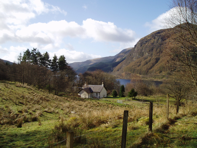
From the summit of Ardnandave Hill, visitors can enjoy panoramic views of the surrounding Perthshire countryside. On a clear day, the hill offers stunning vistas of rolling hills, farmland, and distant mountains. It provides a peaceful and tranquil atmosphere, making it an ideal location for relaxation and contemplation.

Overall, Ardnandave Hill is a natural gem nestled within the scenic Perthshire region, offering a delightful blend of natural beauty and recreational opportunities for locals and tourists alike.

If you have any feedback on the listing, please let us know in the comments section below.

Ardnandave Hill Images

Images are sourced within 2km of 56.28327/-4.3163675 or Grid Reference NN5612. Thanks to Geograph Open Source API. All images are credited.

Looking towards Creag Chaoruinneach from alpine meadow north of the Allt Mor A quadbike track winds a devious way through the young pines until it reaches the deer fence below Guala Ghorm
Looking towards Creag Chaoruinneach from alpine meadow north of the Allt Mor
A quadbike track winds a devious way through the young pines until it reaches the deer fence below Guala Ghorm
Loch Lubnaig
Loch Lubnaig
Man-made cascade
Man-made cascade
Path towards Stank Glen
Path into Stank Glen
Forestry road in Stank Glen
A84 alongside Loch Lubnaig
A84 along Loch Lubnaig
Loch Lubnaig Looking down the loch from a lay-by off the A84 in the next square. The view shows the point where the loch narrows beside Ardchullarie More.
Loch Lubnaig
Looking down the loch from a lay-by off the A84 in the next square. The view shows the point where the loch narrows beside Ardchullarie More.
Path in the Stank Glen A path crossing moorland and forestry in the Stank Glen.
Path in the Stank Glen
A path crossing moorland and forestry in the Stank Glen.
Cyclepath to Strathyre The old railway route is now National Cycle Network route 7 and the Rob Roy Way. The hillside ahead is on the other side of Loch Lubnaig, which bends to the NW about 2km away.
Cyclepath to Strathyre
The old railway route is now National Cycle Network route 7 and the Rob Roy Way. The hillside ahead is on the other side of Loch Lubnaig, which bends to the NW about 2km away.
Callander to Strathyre cyclepath The former railway to Lochearnhead is now part of National Cycle Network route 7 and the Rob Roy Way for walkers.
Callander to Strathyre cyclepath
The former railway to Lochearnhead is now part of National Cycle Network route 7 and the Rob Roy Way for walkers.
Warning to cyclists, Strathyre cyclepath Warning of a narrower and downhill stretch where the cyclepath descends to the line of the railway route by Loch Lubnaig.
Warning to cyclists, Strathyre cyclepath
Warning of a narrower and downhill stretch where the cyclepath descends to the line of the railway route by Loch Lubnaig.
Strathyre cyclepath and Loch Lubnaig The route follows a higher level contouring forest road here which gives views towards the N end of the loch.
Strathyre cyclepath and Loch Lubnaig
The route follows a higher level contouring forest road here which gives views towards the N end of the loch.
Rob Roy Way near Laggan The path descends to the rejoin former railway route near the farm at Laggan.
Rob Roy Way near Laggan
The path descends to the rejoin former railway route near the farm at Laggan.
Tom Bheithe across Loch Lubnaig Tom Bheithe is a small wooded knoll on the west side of Loch Lubnaig; the slopes rising beyond are those of Ben Ledi.
Tom Bheithe across Loch Lubnaig
Tom Bheithe is a small wooded knoll on the west side of Loch Lubnaig; the slopes rising beyond are those of Ben Ledi.
Larch trees on slope on west side of Loch Lubnaig The trees are on the slope of Ardnandave Hill which is a northern lobe of Ben Ledi. The view is from the A84 on the east side of the loch.
Larch trees on slope on west side of Loch Lubnaig
The trees are on the slope of Ardnandave Hill which is a northern lobe of Ben Ledi. The view is from the A84 on the east side of the loch.
Welcome to Loch Lubnaig National Park rest area.
Welcome to Loch Lubnaig
National Park rest area.
Show me another place!

Ardnandave Hill is located at Grid Ref: NN5612 (Lat: 56.28327, Lng: -4.3163675)

Unitary Authority: Stirling

Police Authority: Forth Valley

What 3 Words

///delusions.acid.reforming. Near Callander, Stirling

Related Wikis

Loch Lubnaig

Loch Lubnaig (Loch Lùbnaig in Gaelic) is a small freshwater loch near Callander in the Stirling council area, Scottish Highlands. It lies in the former...

Ardchullarie More

Ardchullarie More is a small hamlet in the Stirling council area, Scotland and is situated on the eastern side of Loch Lubnaig. == External links == Scottish...

Ben Ledi

Ben Ledi (Beinn Leitir in Scottish Gaelic) is a mountain in Stirling, Scotland. It is 879 metres (2,884 feet) high, and is therefore classified as a Corbett...

Benvane

Benvane (Scottish Gaelic: Beinn Bhàn) is a mountain in the Trossachs, in Stirling council area, Scotland. It lies within Loch Lomond and The Trossachs...

Nearby Amenities

Located within 500m of 56.28327,-4.3163675
Ardnandave Hill
Ele: 715
Munro: no
Natural: peak
Wikidata: Q20579088
Lat/Long: 56.2830757/-4.3157191
The data included in this document is from www.openstreetmap.org. The data is made available under ODbL.

Have you been to Ardnandave Hill?

Leave your review of Ardnandave Hill below (or comments, questions and feedback).