Ben Meggernie

Hill, Mountain in Perthshire

Scotland

Ben Meggernie

View from road
View from road Credit: Alex McGregor

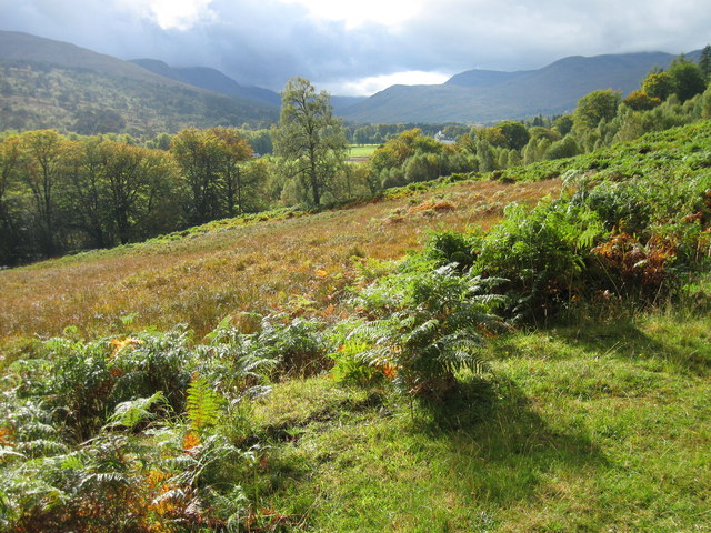
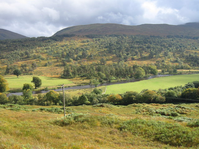
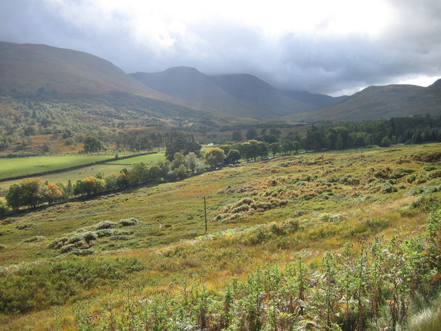
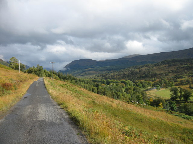
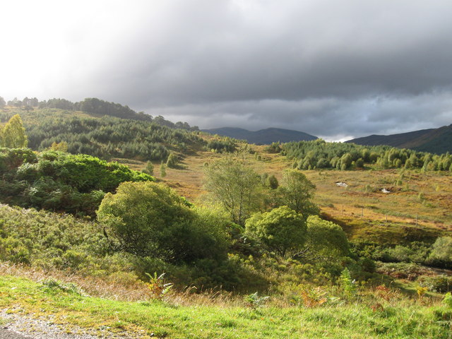
Ben Meggernie is a prominent hill located in Perthshire, Scotland. Standing at an impressive height of 1,118 meters (3,668 feet), it offers breathtaking views of the surrounding landscape. The hill is part of the Grampian Mountains range and is situated near the picturesque village of Bridge of Balgie.

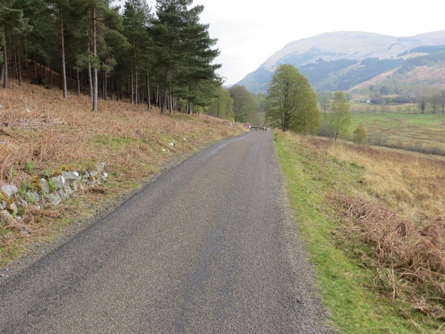
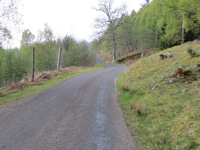
The ascent to the summit of Ben Meggernie is a popular activity among outdoor enthusiasts, attracting hikers, mountaineers, and nature lovers from all over. The hill features a well-marked trail that leads to the top, offering a challenging yet rewarding experience. As climbers ascend, they are treated to stunning vistas of rolling hills, dense forests, and tranquil lochs.

One of the notable features of Ben Meggernie is its rugged terrain, with steep slopes and treacherous rocky sections. This adds an element of excitement and adventure to the climb, attracting experienced mountaineers looking for a challenge. However, beginners are advised to exercise caution and ensure they have the necessary equipment and skills before attempting the ascent.

The surrounding area of Ben Meggernie is home to a diverse range of flora and fauna. As climbers make their way up the hill, they may encounter various species of birds, including golden eagles and peregrine falcons. The lower slopes are covered in heather and grasses, while higher up, alpine plants like saxifrages and mountain avens can be spotted.

Overall, Ben Meggernie offers a thrilling and rewarding experience for outdoor enthusiasts, combining stunning natural beauty with a challenging climb. It is a must-visit destination for those seeking to immerse themselves in the rugged Scottish countryside.

If you have any feedback on the listing, please let us know in the comments section below.

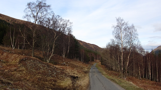
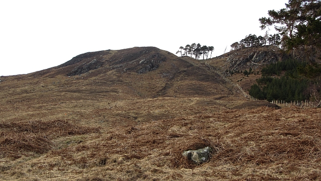
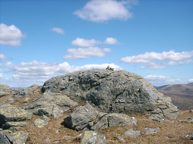
Ben Meggernie Images

Images are sourced within 2km of 56.596826/-4.3487402 or Grid Reference NN5547. Thanks to Geograph Open Source API. All images are credited.

View from road
View from road
Glen Lyon
Glen Lyon
Glen Lyon
Glen Lyon
Glen Lyon road
Glen Lyon road
Glen Lyon - Bridge of Balgie crossing River Lyon Looking southward.
Glen Lyon - Bridge of Balgie crossing River Lyon
Looking southward.
Glen Lyon - Road heading towards Bridge of Balgie Looking eastward.
Glen Lyon - Road heading towards Bridge of Balgie
Looking eastward.
Glen Lyon - Road near to Meggernie Castle Looking south-westward.
Glen Lyon - Road near to Meggernie Castle
Looking south-westward.
Glen Lyon - Road and cattle grid near to Meggernie Castle Looking south-westward.
Glen Lyon - Road and cattle grid near to Meggernie Castle
Looking south-westward.
Ordnance Survey Flush Bracket 11894 This bracket can be found on the parapet wall of Bridge of Balgie. The benchmark height is recorded as 207.597 metres above sea level.
For more detail see : <span class="nowrap"><a title="https://www.bench-marks.org.uk/bm22650" rel="nofollow ugc noopener" href="https://www.bench-marks.org.uk/bm22650">Link</a><img style="margin-left:2px;" alt="External link" title="External link - shift click to open in new window" src="https://s1.geograph.org.uk/img/external.png" width="10" height="10"/></span>
Ordnance Survey Flush Bracket 11894
This bracket can be found on the parapet wall of Bridge of Balgie. The benchmark height is recorded as 207.597 metres above sea level. For more detail see : LinkExternal link
River Lyon at Bridge of Balgie
Road junction, Bridge of Balgie Left turn for Killin. Visit the nearby tea room in Winter and you will be given a firm but friendly reminder that the road is not treated and probably blocked by snow.
Road junction, Bridge of Balgie
Left turn for Killin. Visit the nearby tea room in Winter and you will be given a firm but friendly reminder that the road is not treated and probably blocked by snow.
The Bridge of Balgie, Perth and Kinross Looking downstream on the River Lyon in Glen Lyon east of Fortingall.

Image scanned from an Agfacolor transparency dated August 1975.
The Bridge of Balgie, Perth and Kinross
Looking downstream on the River Lyon in Glen Lyon east of Fortingall. Image scanned from an Agfacolor transparency dated August 1975.
Glen Lyon road There are two roads here: this is the public road which runs high on the north side of the glen and there is a private road which runs past Meggernie Castle. The post bus used to take the lower road, dodging the peacocks around the big house. Sadly this service has been withdrawn.
Glen Lyon road
There are two roads here: this is the public road which runs high on the north side of the glen and there is a private road which runs past Meggernie Castle. The post bus used to take the lower road, dodging the peacocks around the big house. Sadly this service has been withdrawn.
Lower slopes of Ben Meggernie Bracken covered hillside above the road in Glen Lyon. The highest point of Ben Meggernie appears in Corbett's tables as Cam Creag.
Lower slopes of Ben Meggernie
Bracken covered hillside above the road in Glen Lyon. The highest point of Ben Meggernie appears in Corbett's tables as Cam Creag.
River Lyon View from the upper, public, road in Glen Lyon.
River Lyon
View from the upper, public, road in Glen Lyon.
Bridge of Balgie Spans the River Lyon.
Bridge of Balgie
Spans the River Lyon.
Gatehouse and Porsche
Show me another place!

Ben Meggernie is located at Grid Ref: NN5547 (Lat: 56.596826, Lng: -4.3487402)

Unitary Authority: Perth and Kinross

Police Authority: Tayside

What 3 Words

///offerings.torso.copycat. Near Pubil, Perth & Kinross

Nearby Locations

Ben Meggernie Coire Odhar

Related Wikis

Meggernie Castle

Meggernie Castle is a castle in the heart of Perth and Kinross, in central Scotland. It is located halfway up Glenlyon, where the river Lyon flows through...

Bridge of Balgie

Bridge of Balgie is a hamlet in Glen Lyon (Perth & Kinross, Scotland) and lies at the junction between the east–west single track road along the foot of...

Glen Lyon

Glen Lyon (Scottish Gaelic: Gleann Lìomhann) is a glen in the Perth and Kinross region of Scotland. It is the longest enclosed glen in Scotland and runs...

Beinn nan Oighreag

Beinn nan Oighreag (910 m) is a mountain in the Grampian Mountains of Scotland. It lies between Glen Lyon and Glen Lochay, on the border of Perthshire...

Nearby Amenities

Located within 500m of 56.596826,-4.3487402
Ben Meggernie
Ele: 662
Natural: peak
Lat/Long: 56.5966937/-4.3482422
The data included in this document is from www.openstreetmap.org. The data is made available under ODbL.

Have you been to Ben Meggernie?

Leave your review of Ben Meggernie below (or comments, questions and feedback).