Craigwhinnie
Hill, Mountain in Kirkcudbrightshire
Scotland
Craigwhinnie

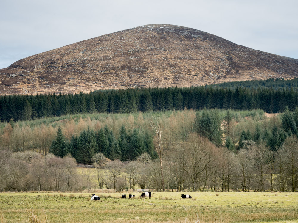
Craigwhinnie is a prominent hill located in the region of Kirkcudbrightshire in southwest Scotland. Rising to a height of approximately 543 meters (1,781 feet), it forms part of the Galloway Hills range. The hill is situated about 10 kilometers (6 miles) northwest of the town of Castle Douglas.
Craigwhinnie boasts a distinctive shape with a rounded summit and steep slopes covered in heather and grass. Due to its elevation, it offers breathtaking panoramic views of the surrounding countryside, including the rolling hills, lush farmland, and nearby Loch Ken.
The hill is a popular destination for hikers and outdoor enthusiasts, offering a range of walking routes to suit various abilities. One of the most common routes to the summit starts from the nearby village of Balmaclellan and follows a well-marked path that gradually ascends the hill. The hike typically takes around 2-3 hours to complete, allowing visitors to enjoy the picturesque landscapes and potentially spot local wildlife, such as red deer and various bird species.
Craigwhinnie is also known for its historical significance. The hill features the remains of an Iron Age hillfort on its eastern slopes, indicating human occupation in the area dating back thousands of years. Exploring these ancient ruins provides an opportunity to delve into the region's rich history and heritage.
Overall, Craigwhinnie offers a rewarding outdoor experience, combining natural beauty, recreational opportunities, and a glimpse into Scotland's past.
If you have any feedback on the listing, please let us know in the comments section below.
Craigwhinnie Images
Images are sourced within 2km of 54.994907/-4.2554562 or Grid Reference NX5569. Thanks to Geograph Open Source API. All images are credited.


Craigwhinnie is located at Grid Ref: NX5569 (Lat: 54.994907, Lng: -4.2554562)
Unitary Authority: Dumfries and Galloway
Police Authority: Dumfries and Galloway
What 3 Words
///useful.pedicure.spoken. Near Newton Stewart, Dumfries & Galloway
Nearby Locations
Related Wikis

Skerrow
Skerrow was a burgh in Dumfries and Galloway, Scotland. Loch Skerrow Halt railway station, on the Portpatrick and Wigtownshire Joint Railway, served Skerrow...
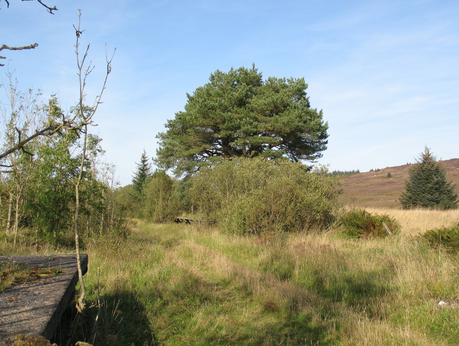
Loch Skerrow Halt railway station
Loch Skerrow Halt railway station served the burgh of Skerrow, Dumfries and Galloway, Scotland on the Portpatrick and Wigtownshire Joint Railway. ��2...
Cairnsmore of Fleet
Cairnsmore of Fleet is an isolated mountain in the Southern Uplands of Scotland. The mountain forms an unafforested granite massif, whose highest point...

Gatehouse of Fleet railway station
Gatehouse of Fleet railway station served the town of Gatehouse of Fleet, in the historic county of Kirkcudbrightshire in the administrative area of Dumfries...
Nearby Amenities
Located within 500m of 54.994907,-4.2554562Have you been to Craigwhinnie?
Leave your review of Craigwhinnie below (or comments, questions and feedback).