Bioran na Circe
Hill, Mountain in Perthshire
Scotland
Bioran na Circe
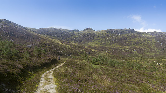
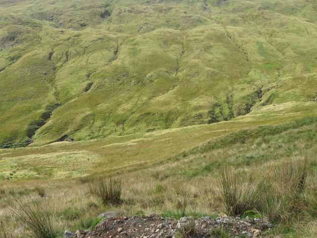
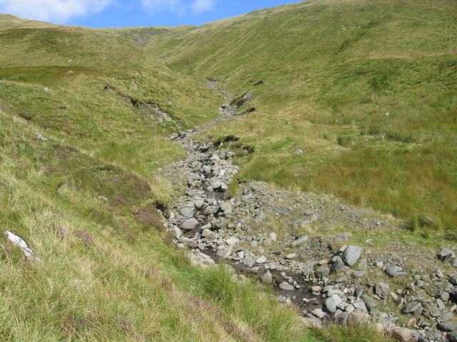
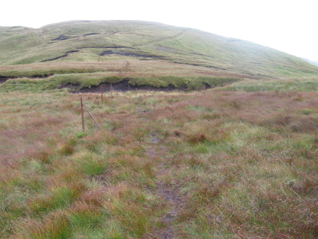
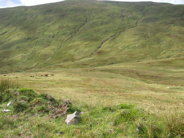
Bioran na Circe, located in Perthshire, Scotland, is a prominent hill/mountain that offers stunning panoramic views and an invigorating hiking experience. It stands at an elevation of approximately 1,057 meters (3,468 feet) above sea level, making it a popular destination for outdoor enthusiasts and nature lovers.
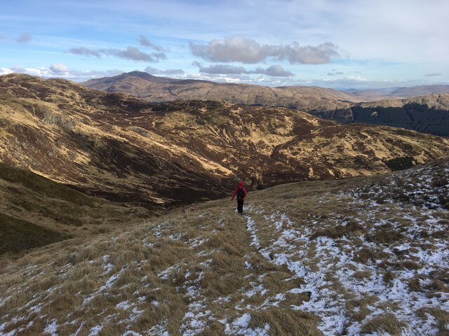
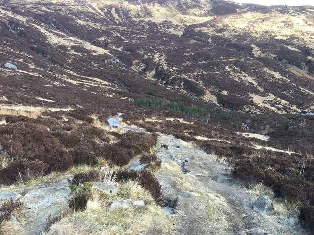
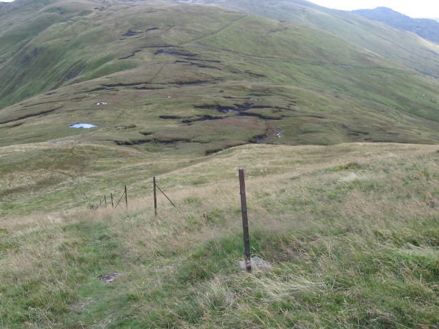
The hill/mountain is situated within the Cairngorms National Park, known for its rugged beauty and diverse wildlife. Bioran na Circe is characterized by its steep slopes and rocky terrain, providing an exciting challenge for hikers. The ascent to the summit requires a moderate level of fitness and hiking experience.
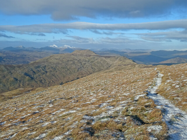
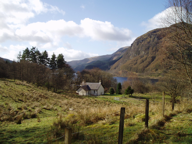
Once at the top, visitors are rewarded with breathtaking views of the surrounding landscape, including the rolling hills, glens, and lochs that make up the picturesque Perthshire countryside. On a clear day, it is even possible to see as far as the distant peaks of the Grampian Mountains.
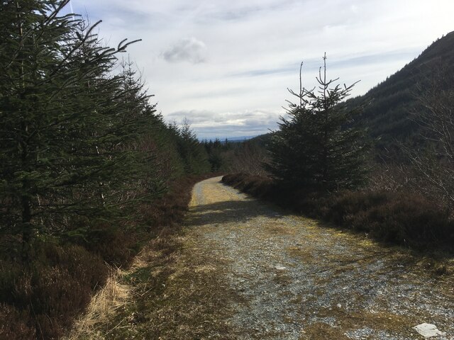
Bioran na Circe is home to a variety of plant and animal species, including heather, mosses, and birds such as golden eagles and peregrine falcons. The hill/mountain also boasts several walking trails of varying lengths and difficulties, allowing visitors to explore its beauty at their own pace.
Overall, Bioran na Circe is a must-visit destination for those seeking a thrilling outdoor adventure and a chance to immerse themselves in the natural wonders of Perthshire. Whether it's a challenging hike or a peaceful stroll, this hill/mountain offers a memorable experience for all who venture to its summit.
If you have any feedback on the listing, please let us know in the comments section below.
Bioran na Circe Images
Images are sourced within 2km of 56.276323/-4.3302274 or Grid Reference NN5511. Thanks to Geograph Open Source API. All images are credited.


Bioran na Circe is located at Grid Ref: NN5511 (Lat: 56.276323, Lng: -4.3302274)
Unitary Authority: Stirling
Police Authority: Forth Valley
What 3 Words
///chimp.ironic.footsteps. Near Callander, Stirling
Nearby Locations
Related Wikis

Ben Ledi
Ben Ledi (Beinn Leitir in Scottish Gaelic) is a mountain in Stirling, Scotland. It is 879 metres (2,884 feet) high, and is therefore classified as a Corbett...

Loch Lubnaig
Loch Lubnaig (Loch Lùbnaig in Gaelic) is a small freshwater loch near Callander in the Stirling council area, Scottish Highlands. It lies in the former...

Benvane
Benvane (Scottish Gaelic: Beinn Bhàn) is a mountain in the Trossachs, in Stirling council area, Scotland. It lies within Loch Lomond and The Trossachs...
Ardchullarie More
Ardchullarie More is a small hamlet in the Stirling council area, Scotland and is situated on the eastern side of Loch Lubnaig. == External links == Scottish...

Falls of Leny
The Falls of Leny are a series of waterfalls in the Trossachs of Scotland on the course of the Garbh Uisge, otherwise known as the River Leny, where the...

Strathyre railway station
Strathyre was a railway station located at the head of Loch Lubnaig, Stirling, in Strathyre. == History == This station opened on 1 June 1870 along with...

Strathyre
Strathyre (; from Scottish Gaelic: Srath Eadhair) is a district and settlement in the Stirling local government district of Scotland. It forms the south...

Glen Finglas Estate
The Glen Finglas Estate is a property in Glen Finglas in the Trossachs, Scotland managed by The Woodland Trust. The estate extends for over 10,000 acres...
Nearby Amenities
Located within 500m of 56.276323,-4.3302274Have you been to Bioran na Circe?
Leave your review of Bioran na Circe below (or comments, questions and feedback).