A' Mharcanach

Hill, Mountain in Inverness-shire

Scotland

A' Mharcanach

Carn a' Choire Ghlaise's 789m Top across Watershed Came down into Coire Mharconaich go west towards A' Mharcanach, going was too rough and had to go NE to get out of peat haggs, Landed in a huge watershed, peat haggs were two to three metres deep and filled with water.  Will have to pick time of year to return or remain on ridges.
Carn a' Choire Ghlaise's 789m Top across Watershed Credit: Sarah McGuire

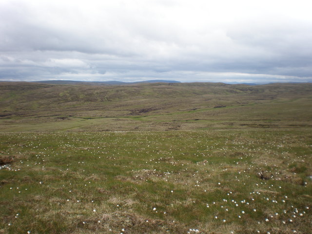
A' Mharcanach is a prominent hill located in Inverness-shire, Scotland. It is part of the breathtaking Scottish Highlands, renowned for its stunning landscapes and natural beauty. Rising to an elevation of approximately 2,398 feet (731 meters), A' Mharcanach offers visitors and outdoor enthusiasts a remarkable vantage point to admire the surrounding countryside.

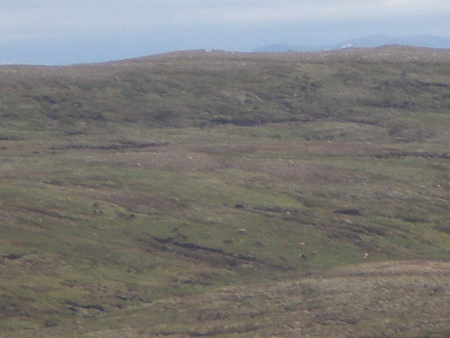
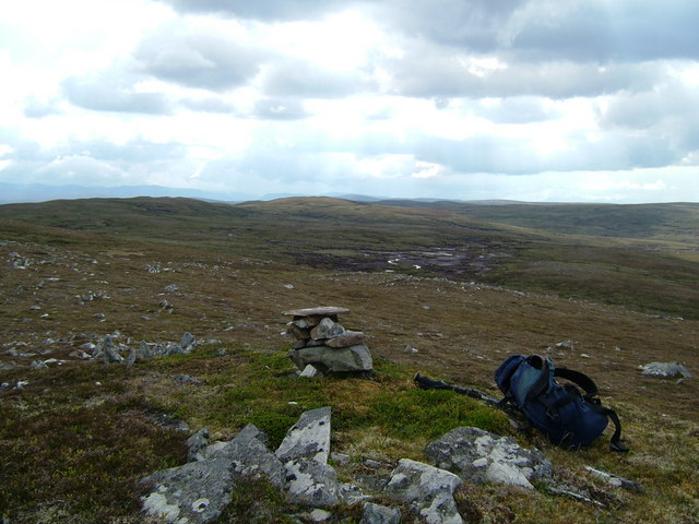
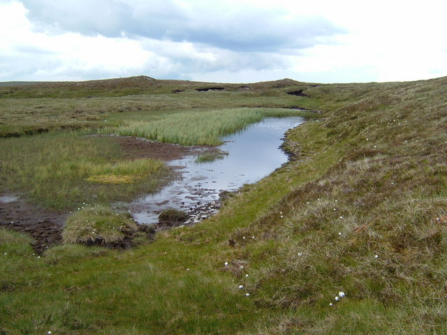
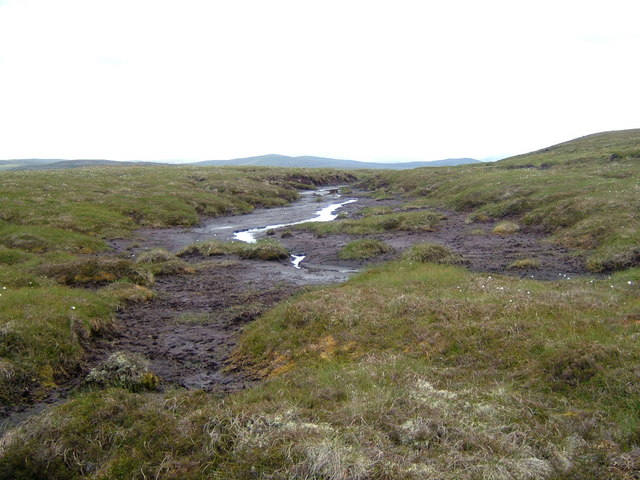
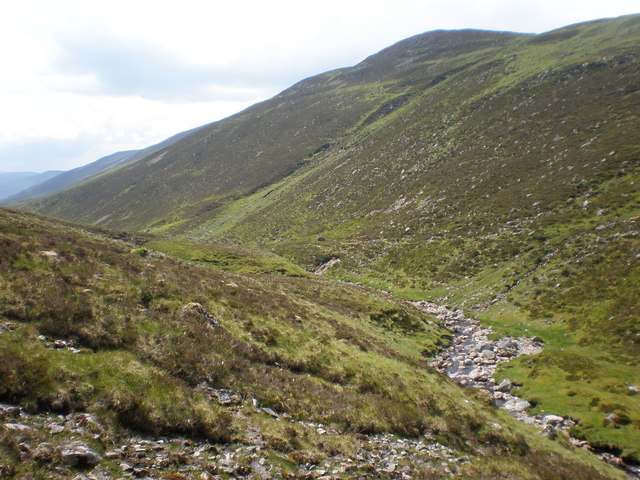
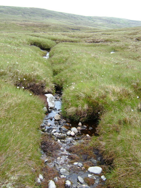
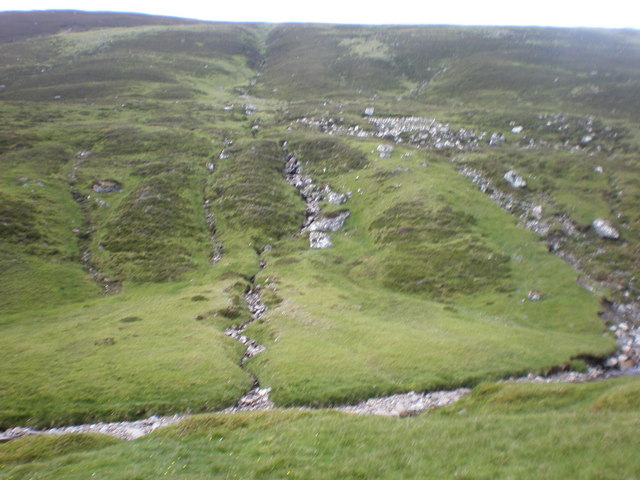
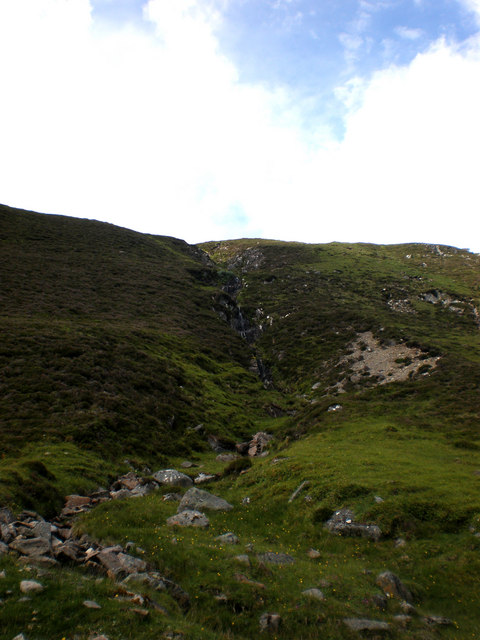
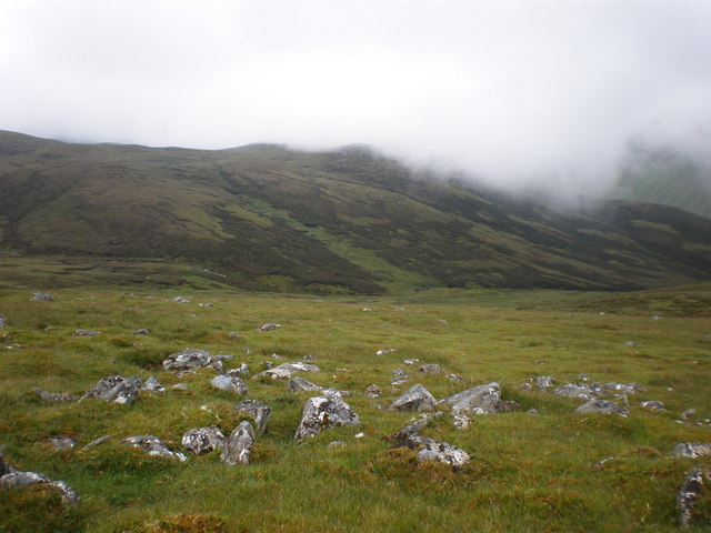
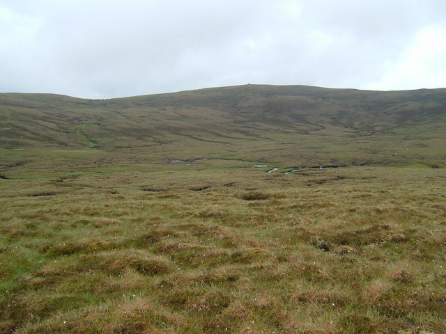
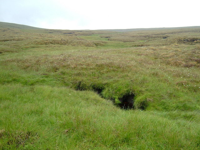
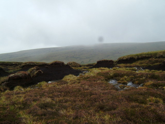
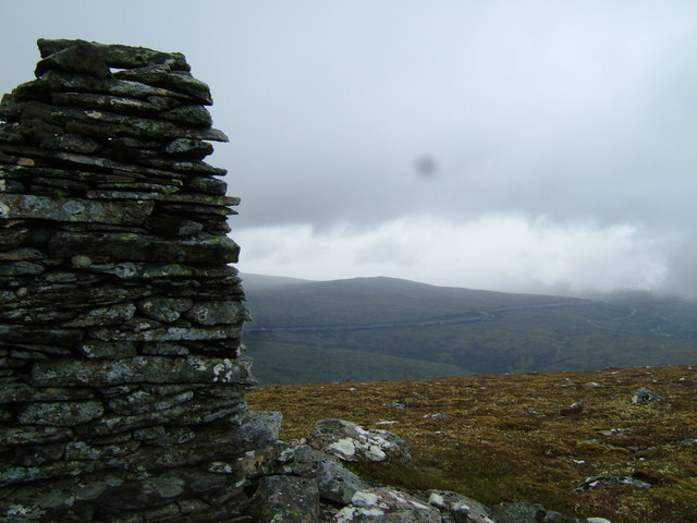
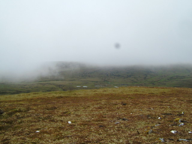
Situated in the vicinity of Tomich and Glen Affric, A' Mharcanach is a popular destination for hikers and mountaineers seeking a challenging yet rewarding climb. The hill is characterized by its rugged terrain, consisting of rocky outcrops, heather-covered slopes, and scattered patches of woodland. As climbers ascend A' Mharcanach, they are treated to panoramic views of lush green valleys, shimmering lochs, and distant snow-capped peaks.

A' Mharcanach is part of the Glen Affric National Nature Reserve, a protected area known for its diverse wildlife and rich biodiversity. The hill provides a habitat for various bird species, including golden eagles and peregrine falcons, as well as red deer and other mammals. Nature enthusiasts can explore the reserve's trails and immerse themselves in the tranquil ambiance of the Scottish Highlands.

While A' Mharcanach offers a challenging climb, it is recommended that visitors come prepared with appropriate hiking gear and navigational equipment, as the weather conditions in the area can be unpredictable. Safety should always be a priority when venturing into the remote and untamed beauty of A' Mharcanach.

If you have any feedback on the listing, please let us know in the comments section below.

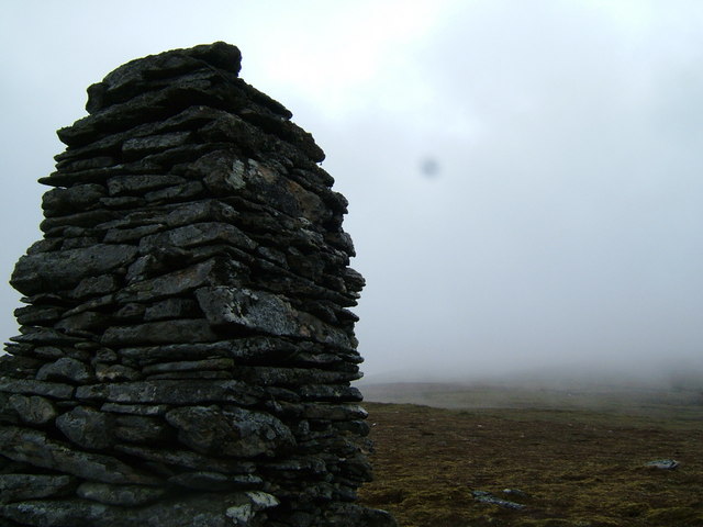
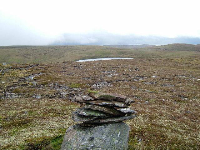
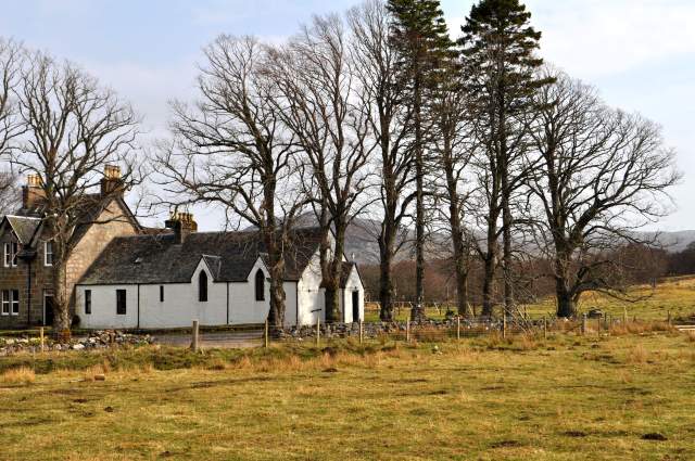
A' Mharcanach Images

Images are sourced within 2km of 57.156276/-4.3854462 or Grid Reference NH5509. Thanks to Geograph Open Source API. All images are credited.

Carn a' Choire Ghlaise's 789m Top across Watershed Came down into Coire Mharconaich go west towards A' Mharcanach, going was too rough and had to go NE to get out of peat haggs, Landed in a huge watershed, peat haggs were two to three metres deep and filled with water.  Will have to pick time of year to return or remain on ridges.
Carn a' Choire Ghlaise's 789m Top across Watershed
Came down into Coire Mharconaich go west towards A' Mharcanach, going was too rough and had to go NE to get out of peat haggs, Landed in a huge watershed, peat haggs were two to three metres deep and filled with water. Will have to pick time of year to return or remain on ridges.
Deer Grazing on Carn a' Choire Ghlaise's Northern Slopes Peat haggs can be seen even at this distance.  Although ideal grouse moor I did not see any Grouse in Coire or shooting butts. I figured that was why there was no tracks. Must be a Deer Moor as they could be stalked from any of the surrounding hills.
Deer Grazing on Carn a' Choire Ghlaise's Northern Slopes
Peat haggs can be seen even at this distance. Although ideal grouse moor I did not see any Grouse in Coire or shooting butts. I figured that was why there was no tracks. Must be a Deer Moor as they could be stalked from any of the surrounding hills.
Looking West from Carn a' Choire Ghlaise's 797m Top Cairn There was a long stretch of nearly dry peat lochans.
Looking West from Carn a' Choire Ghlaise's 797m Top Cairn
There was a long stretch of nearly dry peat lochans.
Lochan Feeding Glenmarkie Burn This lochan and tributary goes directly downhill to Glenmarkie Burn in Glen Markie.  The lochan is so high uphill, it is partially on stony ground on top.
Lochan Feeding Glenmarkie Burn
This lochan and tributary goes directly downhill to Glenmarkie Burn in Glen Markie. The lochan is so high uphill, it is partially on stony ground on top.
Glenmarkie Burn Tributary Before plunging down to Glen Floor See <a href="https://www.geograph.org.uk/gridref/NH7508">NH7508</a>
Glenmarkie Burn Tributary Before plunging down to Glen Floor
See NH7508
Glenmarkie Burn Descending Markie Glen Carn a' Choire Ghlaise can be seen above glen with Glenmarkie Burn tributary descending from lochan near Carn a' Choire Ghlaise's 797m top descending straight down. <a href="https://www.geograph.org.uk/gridref/NH5709">NH5709</a>
Glenmarkie Burn Descending Markie Glen
Carn a' Choire Ghlaise can be seen above glen with Glenmarkie Burn tributary descending from lochan near Carn a' Choire Ghlaise's 797m top descending straight down. NH5709
Glenmarkie Burn Source The main sources of the Glenmarkie Burn all seen to come from the same watershed within a very short distance from each other.
Glenmarkie Burn Source
The main sources of the Glenmarkie Burn all seen to come from the same watershed within a very short distance from each other.
Shepherd's Hut in Glen Markie Four walls, one window, one door and a corrugated roof.  There was also a sheepfold and other ruins much older nearby.  The old parish boundary posts went through the ruins. I wondered what was there first.
Shepherd's Hut in Glen Markie
Four walls, one window, one door and a corrugated roof. There was also a sheepfold and other ruins much older nearby. The old parish boundary posts went through the ruins. I wondered what was there first.
Burn Coming Down from Watershed in Coire Mharconaich Coire Mharconaich supplies most of the water in Glenmarkie Burn.
Burn Coming Down from Watershed in Coire Mharconaich
Coire Mharconaich supplies most of the water in Glenmarkie Burn.
Waterfall on burn from Coire Mharconaich There were several burns coming down from Coire Mharconaich, most of Markie Burn came from there.  The other burn coming from Burrach Mòr had very little or no water.  There had been a land slip here and the water had been diverted from this one and went down into burn there.
Waterfall on burn from Coire Mharconaich
There were several burns coming down from Coire Mharconaich, most of Markie Burn came from there. The other burn coming from Burrach Mòr had very little or no water. There had been a land slip here and the water had been diverted from this one and went down into burn there.
Allt Fèith a' Phuill Coming Down Glen Allt Fèith a' Phuill can be seen coming down glen below Carn a' Choire Ghlaise's northern shoulder from A' Mharcanach eastern flank.
Allt Fèith a' Phuill Coming Down Glen
Allt Fèith a' Phuill can be seen coming down glen below Carn a' Choire Ghlaise's northern shoulder from A' Mharcanach eastern flank.
Carn a' Choire Ghlaise Across Allt Fèith a' Phuill Although Allt Fèith a' Phuill can be seen below there were several burns crossing watershed.
Carn a' Choire Ghlaise Across Allt Fèith a' Phuill
Although Allt Fèith a' Phuill can be seen below there were several burns crossing watershed.
Allt Fèith a' Phuill Crossing Moor This was the main burn crossing moorland although there was many from every direction.
Allt Fèith a' Phuill Crossing Moor
This was the main burn crossing moorland although there was many from every direction.
Peat Haggs on Carn a' Choire Ghlaise These peat haggs were on the Carn a' Choire Ghlaise ridge between the Cairn and next small top.  A' Mharcanach can be seen in background.
Peat Haggs on Carn a' Choire Ghlaise
These peat haggs were on the Carn a' Choire Ghlaise ridge between the Cairn and next small top. A' Mharcanach can be seen in background.
Large Cairn on Carn a' Choire Ghlaise Hydro project road on Meallan Odhar can be seen in distance.
Large Cairn on Carn a' Choire Ghlaise
Hydro project road on Meallan Odhar can be seen in distance.
Watershed of Allt Fèith a' Phuill Allt Fèith a' Phuill watercourse can be seen on the far side on small lochans from near cairn on Carn a' Choire Ghlaise's ridge. I had lunch here waiting for clouds and rain to move on so that I could get a photo of something other than a cairn.
Watershed of Allt Fèith a' Phuill
Allt Fèith a' Phuill watercourse can be seen on the far side on small lochans from near cairn on Carn a' Choire Ghlaise's ridge. I had lunch here waiting for clouds and rain to move on so that I could get a photo of something other than a cairn.
Cairn on Carn a' Choire Ghlaise Looking NW along ridge.  Cloud came down very quickly although this photo is the best view of the square cairn.  I always look for a stone when I see a cairn so that I won't be cursed. "Who will not add to the cairn, may he add to the gallows".  After carrying a stone from near the bealach I could not reach the top of the cairn to put it on. I used it to sit on and placed it near cairn when I left.
Cairn on Carn a' Choire Ghlaise
Looking NW along ridge. Cloud came down very quickly although this photo is the best view of the square cairn. I always look for a stone when I see a cairn so that I won't be cursed. "Who will not add to the cairn, may he add to the gallows". After carrying a stone from near the bealach I could not reach the top of the cairn to put it on. I used it to sit on and placed it near cairn when I left.
Loch Fèith a' Phuill from Small Top First view of Loch Fèith a' Phuill from Carn a' Choire Ghlaise ridge
Loch Fèith a' Phuill from Small Top
First view of Loch Fèith a' Phuill from Carn a' Choire Ghlaise ridge
Show me another place!

A' Mharcanach is located at Grid Ref: NH5509 (Lat: 57.156276, Lng: -4.3854462)

Unitary Authority: Highland

Police Authority: Highlands and Islands

What 3 Words

///dented.measures.screeches. Near Newtonmore, Highland

Nearby Locations

A' Mharcanach

Related Wikis

Loch Killin

Loch Killin is a small freshwater loch in the Monadhliath Mountains, in Highland, Scotland, United Kingdom. == Geography == The loch is about 1.2 miles...

River E

The River E is a river in the Highlands of Scotland. It begins in the north-west of the Monadh Liath, to the south-east of Loch Ness. It runs in a north...

Whitebridge, Scotland

Whitebridge (Scottish Gaelic: An Drochaid Bhàn) is a small village on the southwest side of Loch Ness in northern Scotland. == Geography == It is roughly...

Immaculate Conception Parish Church, Stratherrick

Immaculate Conception Church, Stratherrick is in the Dalcrag area of Whitebridge, Inverness-shire, in the Highlands of Scotland and is a part of the Roman...

Have you been to A' Mharcanach?

Leave your review of A' Mharcanach below (or comments, questions and feedback).