Beinn an t-Sìthein
Hill, Mountain in Perthshire
Scotland
Beinn an t-Sìthein

Beinn an t-Sìthein, located in Perthshire, Scotland, is a prominent hill and mountain standing at an elevation of 733 meters (2,405 feet). It is part of the larger Ben Lawers range, which is renowned for its stunning natural beauty and rich biodiversity.
The hill is situated within the Loch Tay and Glen Lyon National Scenic Area, offering breathtaking views of the surrounding landscape. Its distinct pyramidal shape and rugged slopes make it a popular destination for outdoor enthusiasts, hikers, and mountaineers.
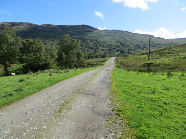
The ascent to Beinn an t-Sìthein typically starts from the village of Lawers, following a well-defined path that gradually gains elevation. The trail offers a variety of terrain, including rocky sections and grassy slopes, with occasional boggy patches. The climb can be challenging in parts, but the rewarding panoramic vistas at the summit make it well worth the effort.
As visitors ascend, they are treated to awe-inspiring views of the nearby Loch Tay, the picturesque Glen Lyon, and the surrounding mountains. On a clear day, the silhouette of Ben Lawers, the highest peak in the range, can be seen in the distance.
The hill is also home to a diverse range of plant and animal species, with rare alpine flora and fauna found in its higher regions. The slopes are covered with heather, grasses, and scattered shrubs, providing habitats for various bird species and small mammals.
Beinn an t-Sìthein offers a wonderful opportunity for outdoor exploration, providing both physical challenges and stunning natural landscapes to be enjoyed by all who venture to its summit.
If you have any feedback on the listing, please let us know in the comments section below.
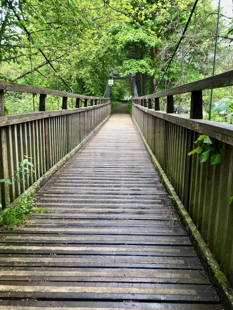
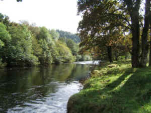
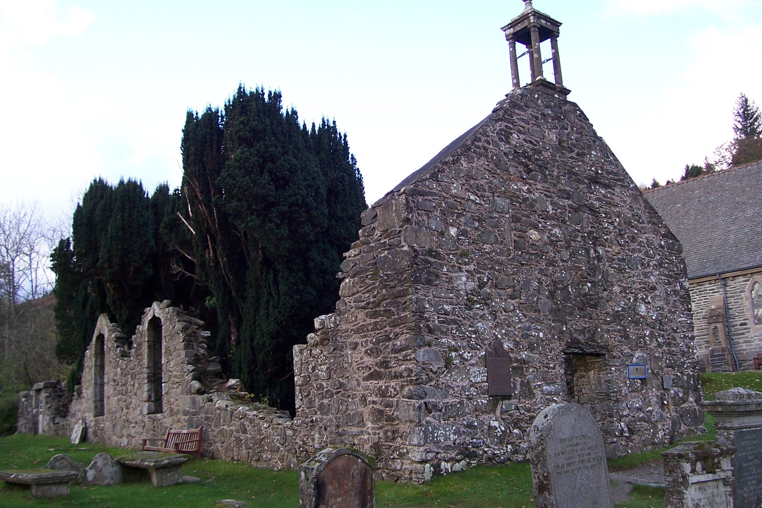
Beinn an t-Sìthein Images
Images are sourced within 2km of 56.33073/-4.3516778 or Grid Reference NN5417. Thanks to Geograph Open Source API. All images are credited.


Beinn an t-Sìthein is located at Grid Ref: NN5417 (Lat: 56.33073, Lng: -4.3516778)
Unitary Authority: Stirling
Police Authority: Forth Valley
What 3 Words
///waggled.rods.roughness. Near Callander, Stirling
Nearby Locations
Related Wikis

Strathyre railway station
Strathyre was a railway station located at the head of Loch Lubnaig, Stirling, in Strathyre. == History == This station opened on 1 June 1870 along with...

Strathyre
Strathyre (; from Scottish Gaelic: Srath Eadhair) is a district and settlement in the Stirling local government district of Scotland. It forms the south...
River Balvaig
The River Balvaig (Scottish Gaelic: "Abhainn Balbhaig") is a short river, approximately 8 km (5.0 mi) long, draining from the head of Loch Voil near Balquhidder...

Auchtubh
Auchtubh is a hamlet in the Stirling council area of Scotland, less than 1 mile (2 kilometres) to the east of the village of Balquhidder. Auchtubh consisted...
Balquhidder
Balquhidder ( ; Scottish Gaelic: Both Chuidir [ˌpɔˈxutʲɪɾʲ] or Both Phuidir [ˌpɔˈfutʲɪɾʲ]) is a small village in Perthshire located 10 miles (16 km) north...
Kingshouse railway station
Kingshouse was a railway station located at the hamlet of Kingshouse, Stirling where the road from Balquhidder joins the A84. The only building of note...

Balquhidder railway station
Balquhidder was a railway station around two miles south of Lochearnhead, Stirling (district). It was where the Callander and Oban Railway was joined by...

Benvane
Benvane (Scottish Gaelic: Beinn Bhàn) is a mountain in the Trossachs, in Stirling council area, Scotland. It lies within Loch Lomond and The Trossachs...
Nearby Amenities
Located within 500m of 56.33073,-4.3516778Have you been to Beinn an t-Sìthein?
Leave your review of Beinn an t-Sìthein below (or comments, questions and feedback).