Dunwan Hill

Hill, Mountain in Renfrewshire

Scotland

Dunwan Hill

Fence, Dunwan Reservoir A horror, later to give problems.
Fence, Dunwan Reservoir Credit: Richard Webb

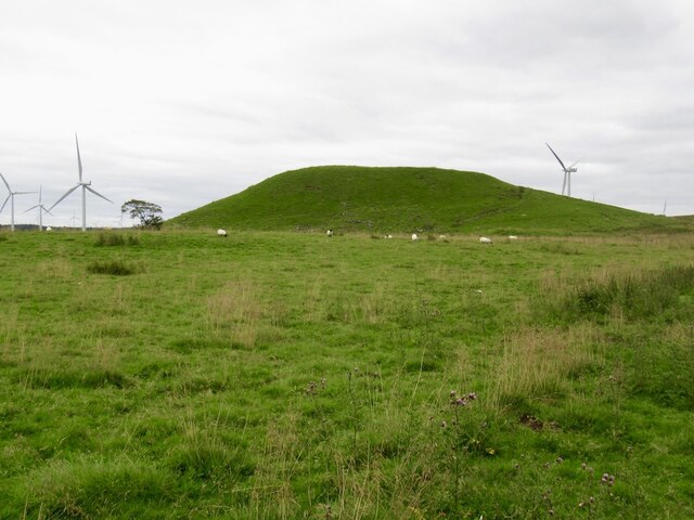
Dunwan Hill is located in Renfrewshire, Scotland, and is a prominent feature in the local landscape. Standing at an elevation of approximately 357 meters (1171 feet), it is classified as a hill rather than a mountain. The hill is situated near the village of Bridge of Weir, providing stunning views of the surrounding countryside.

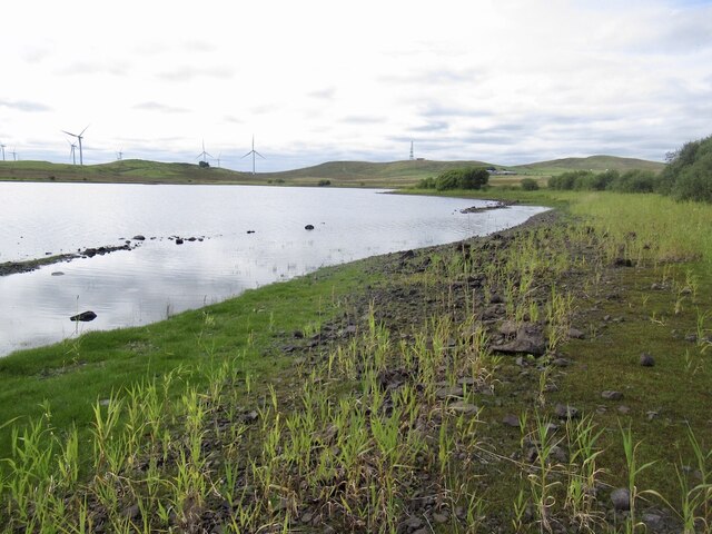
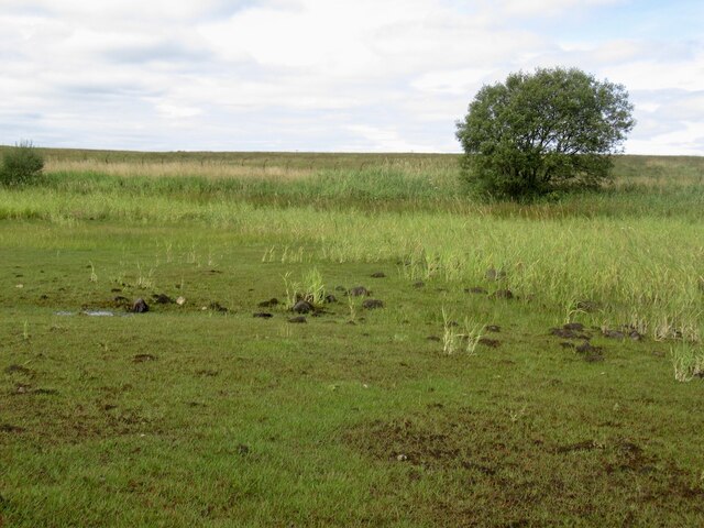
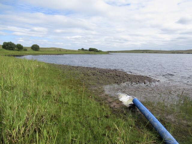
Dunwan Hill is known for its diverse flora and fauna, making it a popular spot for nature enthusiasts and hikers. The hill is covered with a variety of vegetation, including heather, grasses, and mosses, creating a picturesque scene throughout the year. The area is also home to a range of wildlife, such as red deer, rabbits, and various bird species, making it a haven for birdwatchers and animal lovers.

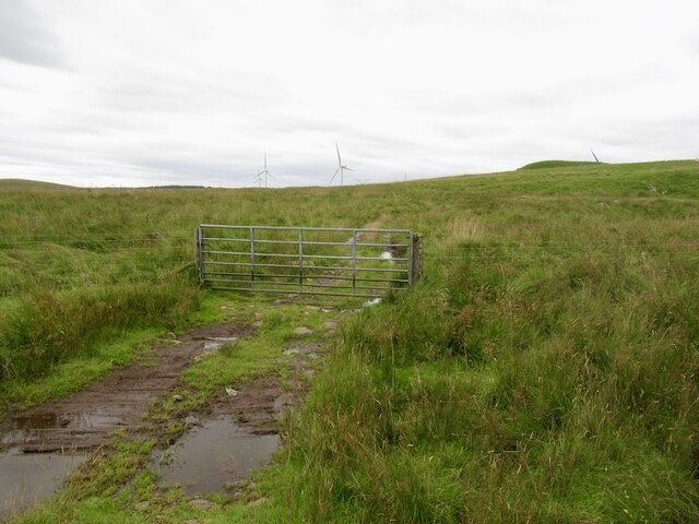
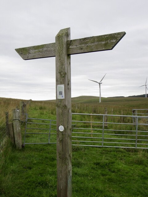
The hill offers several walking trails that cater to different levels of fitness and experience. These trails meander through the hillside, providing opportunities to explore the natural beauty of the area. Visitors can enjoy the peaceful atmosphere, breathe in the fresh air, and take in the stunning views of the surrounding countryside.

Dunwan Hill holds historical significance as well. It is believed to have been a site of ancient settlements, with traces of Iron Age forts and burial mounds found in the vicinity. These relics add an element of intrigue and cultural importance to the area.

Overall, Dunwan Hill in Renfrewshire offers a combination of natural beauty, biodiversity, and historical significance, making it an ideal destination for hikers, nature lovers, and history enthusiasts alike.

If you have any feedback on the listing, please let us know in the comments section below.

Dunwan Hill Images

Images are sourced within 2km of 55.712164/-4.314423 or Grid Reference NS5448. Thanks to Geograph Open Source API. All images are credited.

Fence, Dunwan Reservoir A horror, later to give problems.
Fence, Dunwan Reservoir
A horror, later to give problems.
Recursive signage, Dunwan Dam There should be a sign warning about the Reservoir Warning Sign
Recursive signage, Dunwan Dam
There should be a sign warning about the Reservoir Warning Sign
Road, Dunwan Dam
Road, Dunwan Dam
Beach, Dunwan Dam Easier going than the surrounding marsh.
Beach, Dunwan Dam
Easier going than the surrounding marsh.
Shoreline, Dunwan Dam
Inflow, Dunwan Dam There are three pipes discharging water and they can be seen from the Eaglesham Moor road. The water is probably from one or more of the reservoirs to the north.
Inflow, Dunwan Dam
There are three pipes discharging water and they can be seen from the Eaglesham Moor road. The water is probably from one or more of the reservoirs to the north.
Fence, Dunwan Dam A fearsome obstacle, but it is in poor repair and I could squeeze through. Set in marshland which was a much tougher opponent.

Old maps show a track here, but there is nothing on the ground but pain. The track has made it onto the Naturescot core paths map but as is common in the East Renfrewshire council area all but impassible. A brutal struggle.
Fence, Dunwan Dam
A fearsome obstacle, but it is in poor repair and I could squeeze through. Set in marshland which was a much tougher opponent. Old maps show a track here, but there is nothing on the ground but pain. The track has made it onto the Naturescot core paths map but as is common in the East Renfrewshire council area all but impassible. A brutal struggle.
Gate below Braehead Hill My struggle from Dunwan was over - waymarked paths, orienteering map, just spoiled on the Whitelees Wind Farm.
Gate below Braehead Hill
My struggle from Dunwan was over - waymarked paths, orienteering map, just spoiled on the Whitelees Wind Farm.
Dunwan Hill Looks like a bing, but is natural. Carries a hill fort and fine view.
Dunwan Hill
Looks like a bing, but is natural. Carries a hill fort and fine view.
Dunwan moorland In the Whitelees Wind Farm
Dunwan moorland
In the Whitelees Wind Farm
Summit, Dunwan Hill At last I have Dunwan Hill. Off now to do twa.   Dunwan Dam in the background.
Summit, Dunwan Hill
At last I have Dunwan Hill. Off now to do twa. Dunwan Dam in the background.
Dunwan Dam Reservoir seen from Dunwan Hill.
Dunwan Dam
Reservoir seen from Dunwan Hill.
Signpost, Whitelees Wind Farm
Blackwoodhill Ruined farm.
Blackwoodhill
Ruined farm.
Summit area, Blackwood Hill There is a toposcope on another summit candidate nearby.
Summit area, Blackwood Hill
There is a toposcope on another summit candidate nearby.
Toposcope, Blackwood Hill At the end of a path in the Whitelee Wind Farm.
Toposcope, Blackwood Hill
At the end of a path in the Whitelee Wind Farm.
Toposcope, Blackwood Hill At the end of a path in the Whitelee Wind Farm.
Toposcope, Blackwood Hill
At the end of a path in the Whitelee Wind Farm.
Topfaulds Hill With Lochgoin Reservoir, Whitelee Wind Farm.
Topfaulds Hill
With Lochgoin Reservoir, Whitelee Wind Farm.
Show me another place!

Dunwan Hill is located at Grid Ref: NS5448 (Lat: 55.712164, Lng: -4.314423)

Unitary Authority: East Renfrewshire

Police Authority: Greater Glasgow

What 3 Words

///spill.bank.inch. Near Eaglesham, East Renfrewshire

Related Wikis

Eaglesham

Eaglesham ( EE-gəl-səm) is a village in East Renfrewshire, Scotland, situated about 10 miles (16 km) south of Glasgow, 3 miles (5 km) southeast of Newton...

Millhall

Millhall is a hamlet in East Renfrewshire, in the Central Lowlands of Scotland. It lies 0.8 miles (1.3 km) southeast of Eaglesham, 8.3 miles (13.4 km)...
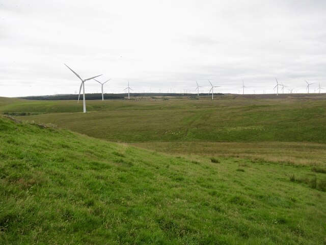
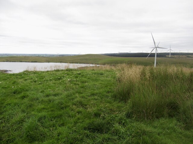
Whitelee Wind Farm

Whitelee Wind Farm is a windfarm on the Eaglesham moor in Scotland. The main visitor centre is located in East Renfrewshire, but the majority of turbines...

A726 road

The A726 road in Scotland is a major route with several distinct sections with different characteristics and names; owing to its stages of construction...
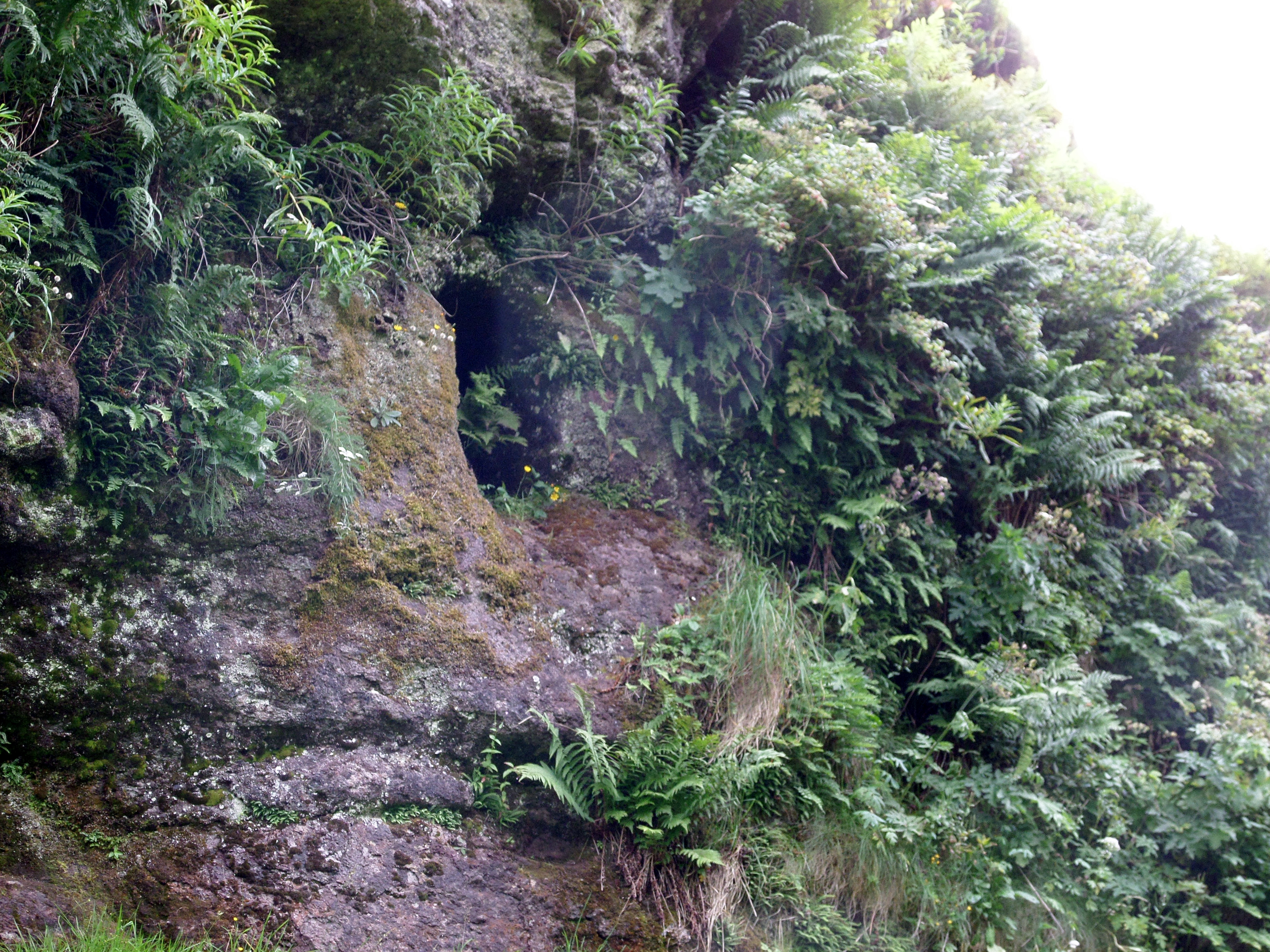
Dunton Cove

Dunton Cove or the Covenanters' Cave is an artificial cave in a craggy outcrop of rocks overlooking the Craufurdland Water just below the confluence of...

Corse Hill

Corse Hill is a hill located between East Renfrewshire and South Lanarkshire of Scotland. With a height of 376 m (1,234 ft), it is the highest point in...

Waterfoot, East Renfrewshire

Waterfoot (Scots: Watterfit) is a village in East Renfrewshire, Scotland. It is on the B767 road between Clarkston and Eaglesham, which are 1 mile (1.6...

Jackton

Jackton is a small village lying just on the western periphery of East Kilbride in South Lanarkshire, on the B764 road (otherwise known as the 'Eaglesham...

Nearby Amenities

Located within 500m of 55.712164,-4.314423
70
Generator Method: wind_turbine
Generator Output Electricity: 2.3 MW
Generator Source: wind
Generator Type: horizontal_axis
Power: generator
Source: bing
Lat/Long: 55.7097261/-4.3183313
86
Generator Method: wind_turbine
Generator Output Electricity: 2.3 MW
Generator Source: wind
Generator Type: horizontal_axis
Power: generator
Source: bing
Lat/Long: 55.7100646/-4.3078919
Dunwan Hill
Ele: 300
Natural: peak
Lat/Long: 55.7121354/-4.3145241
Braehead Hill
Natural: peak
Source: OS OpenData
Lat/Long: 55.7141789/-4.3214846
The data included in this document is from www.openstreetmap.org. The data is made available under ODbL.

Have you been to Dunwan Hill?

Leave your review of Dunwan Hill below (or comments, questions and feedback).