Rieve Hill

Hill, Mountain in Renfrewshire

Scotland

Rieve Hill

Fence, Dunwan Reservoir A horror, later to give problems.
Fence, Dunwan Reservoir Credit: Richard Webb

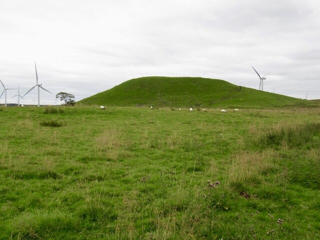
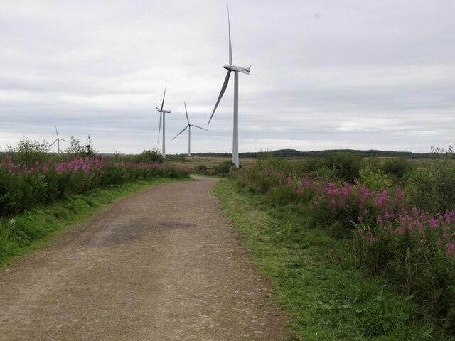
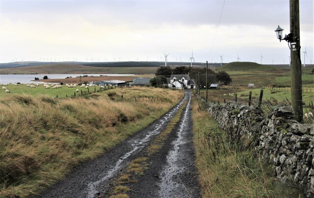
Rieve Hill is a prominent hill located in Renfrewshire, Scotland. Standing at an elevation of approximately 1,040 feet (317 meters), it is a notable feature in the local landscape. The hill is situated near the village of Lochwinnoch, about 18 miles (29 kilometers) southwest of Glasgow.

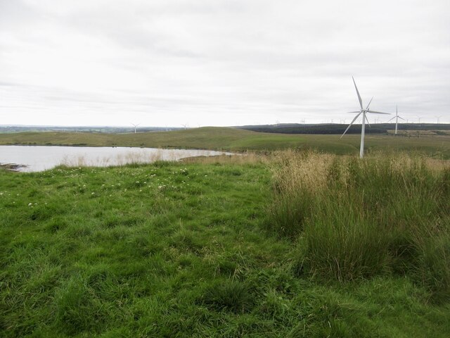
Rieve Hill offers stunning panoramic views of the surrounding countryside, including the nearby Clyde Muirshiel Regional Park and the Renfrewshire Hills. On clear days, visitors can even catch a glimpse of the distant Arran Mountains and the Isle of Arran in the Firth of Clyde.

The hill is predominantly covered in heather and grass, with scattered patches of woodland. It is home to a variety of wildlife, including birds such as buzzards, kestrels, and pheasants, as well as mammals like rabbits and roe deer.

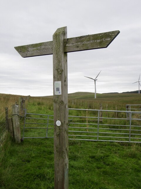
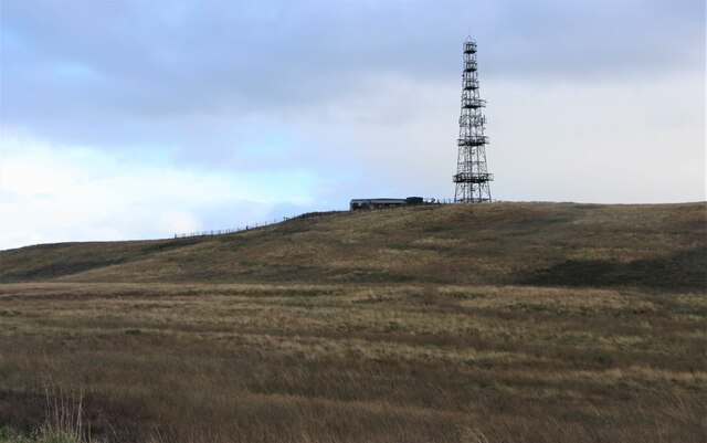
A well-marked path leads to the summit of Rieve Hill, making it accessible to hikers and walkers of all abilities. The ascent offers a moderate challenge, with some steeper sections, but the effort is rewarded with breathtaking vistas from the top.

Rieve Hill is a popular destination for outdoor enthusiasts, offering opportunities for hiking, photography, and nature observation. It also serves as a tranquil escape from the hustle and bustle of nearby urban areas, providing a peaceful retreat for visitors to enjoy the beauty of the Scottish countryside.

If you have any feedback on the listing, please let us know in the comments section below.
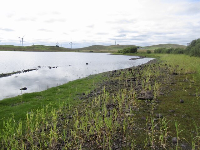
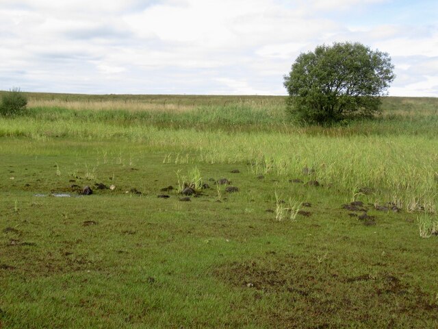
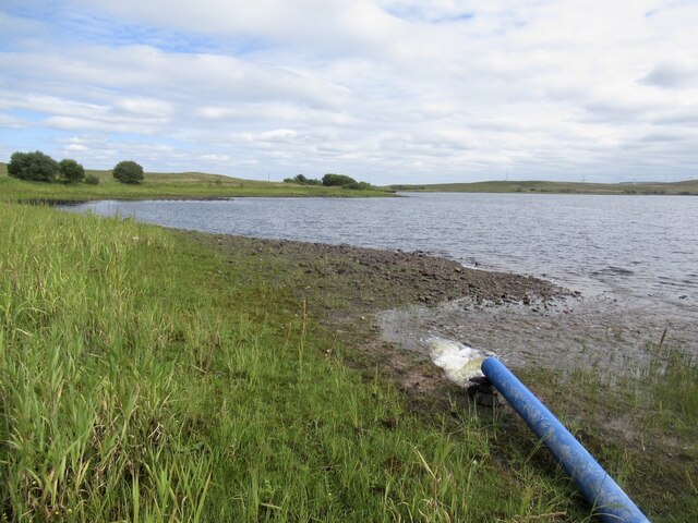
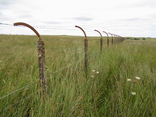
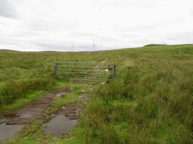
Rieve Hill Images

Images are sourced within 2km of 55.724695/-4.3290354 or Grid Reference NS5350. Thanks to Geograph Open Source API. All images are credited.

Fence, Dunwan Reservoir A horror, later to give problems.
Fence, Dunwan Reservoir
A horror, later to give problems.
Recursive signage, Dunwan Dam There should be a sign warning about the Reservoir Warning Sign
Recursive signage, Dunwan Dam
There should be a sign warning about the Reservoir Warning Sign
Road, Dunwan Dam
Road, Dunwan Dam
Beach, Dunwan Dam Easier going than the surrounding marsh.
Beach, Dunwan Dam
Easier going than the surrounding marsh.
Shoreline, Dunwan Dam
Inflow, Dunwan Dam There are three pipes discharging water and they can be seen from the Eaglesham Moor road. The water is probably from one or more of the reservoirs to the north.
Inflow, Dunwan Dam
There are three pipes discharging water and they can be seen from the Eaglesham Moor road. The water is probably from one or more of the reservoirs to the north.
Fence, Dunwan Dam A fearsome obstacle, but it is in poor repair and I could squeeze through. Set in marshland which was a much tougher opponent.

Old maps show a track here, but there is nothing on the ground but pain. The track has made it onto the Naturescot core paths map but as is common in the East Renfrewshire council area all but impassible. A brutal struggle.
Fence, Dunwan Dam
A fearsome obstacle, but it is in poor repair and I could squeeze through. Set in marshland which was a much tougher opponent. Old maps show a track here, but there is nothing on the ground but pain. The track has made it onto the Naturescot core paths map but as is common in the East Renfrewshire council area all but impassible. A brutal struggle.
Gate below Braehead Hill My struggle from Dunwan was over - waymarked paths, orienteering map, just spoiled on the Whitelees Wind Farm.
Gate below Braehead Hill
My struggle from Dunwan was over - waymarked paths, orienteering map, just spoiled on the Whitelees Wind Farm.
Dunwan Hill Looks like a bing, but is natural. Carries a hill fort and fine view.
Dunwan Hill
Looks like a bing, but is natural. Carries a hill fort and fine view.
Summit, Dunwan Hill At last I have Dunwan Hill. Off now to do twa.   Dunwan Dam in the background.
Summit, Dunwan Hill
At last I have Dunwan Hill. Off now to do twa. Dunwan Dam in the background.
Dunwan Dam Reservoir seen from Dunwan Hill.
Dunwan Dam
Reservoir seen from Dunwan Hill.
Signpost, Whitelees Wind Farm
Whitelee Wind Farm
Whitelee Wind Farm
Turbine blade, Whitelee Usual internet logos on a COP26 leftover at the entrance to the visitor centre.
Turbine blade, Whitelee
Usual internet logos on a COP26 leftover at the entrance to the visitor centre.
Road out of Whitelee Wind Farm
Eaglesham Moor road at Queenseat Hill
Road to Greenfield
Road to Greenfield
Communications Tower on Greenfield Hill
Show me another place!

Rieve Hill is located at Grid Ref: NS5350 (Lat: 55.724695, Lng: -4.3290354)

Unitary Authority: East Renfrewshire

Police Authority: Greater Glasgow

What 3 Words

///submit.mostly.rock. Near Eaglesham, East Renfrewshire

Related Wikis

Eaglesham

Eaglesham ( EE-gəl-səm) is a village in East Renfrewshire, Scotland, situated about 10 miles (16 km) south of Glasgow, 3 miles (5 km) southeast of Newton...

A726 road

The A726 road in Scotland is a major route with several distinct sections with different characteristics and names; owing to its stages of construction...

Millhall

Millhall is a hamlet in East Renfrewshire, in the Central Lowlands of Scotland. It lies 0.8 miles (1.3 km) southeast of Eaglesham, 8.3 miles (13.4 km)...

Mearns Castle High School

Mearns Castle High School is a secondary school situated on Waterfoot Road in Newton Mearns, East Renfrewshire, Scotland roughly seven miles from Glasgow...

Nearby Amenities

Located within 500m of 55.724695,-4.3290354
The data included in this document is from www.openstreetmap.org. The data is made available under ODbL.

Have you been to Rieve Hill?

Leave your review of Rieve Hill below (or comments, questions and feedback).