Lochcraig Reservoir
Lake, Pool, Pond, Freshwater Marsh in Renfrewshire
Scotland
Lochcraig Reservoir
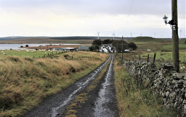
Lochcraig Reservoir is a freshwater lake located in Renfrewshire, Scotland. Covering an area of approximately 10 hectares, it serves as a vital water supply for the surrounding areas. The reservoir is situated in a picturesque setting, surrounded by rolling hills and lush greenery.
The lake is man-made, constructed in the early 1950s to meet the increasing demand for water in the region. Lochcraig Reservoir is primarily fed by rainfall and natural springs, ensuring a constant flow of fresh water. It has a maximum depth of around 20 meters, making it suitable for a variety of recreational activities.
The reservoir is home to a diverse range of aquatic flora and fauna. The lake supports a healthy population of fish, including trout, pike, and perch, making it a popular spot for fishing enthusiasts. Birdwatchers also frequent the area, as Lochcraig Reservoir attracts various species of waterfowl, such as swans, ducks, and herons.
Surrounding the lake is a tranquil woodland area, providing ample opportunities for leisurely walks and picnics. The reservoir is well-maintained, with several designated picnic spots and benches scattered along its shores. Additionally, there are well-defined walking trails that allow visitors to explore the natural beauty of the surrounding countryside.
Lochcraig Reservoir is a cherished natural resource in Renfrewshire, providing an idyllic setting for outdoor activities and a peaceful escape from the bustling city life. Its scenic beauty, abundant wildlife, and recreational opportunities make it a popular destination for locals and tourists alike.
If you have any feedback on the listing, please let us know in the comments section below.
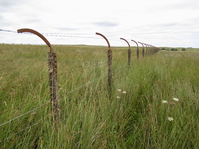
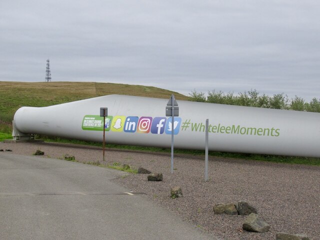
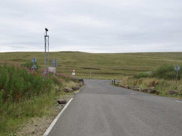
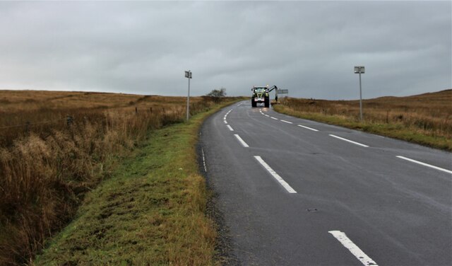
Lochcraig Reservoir Images
Images are sourced within 2km of 55.73003/-4.3387185 or Grid Reference NS5350. Thanks to Geograph Open Source API. All images are credited.


Lochcraig Reservoir is located at Grid Ref: NS5350 (Lat: 55.73003, Lng: -4.3387185)
Unitary Authority: East Renfrewshire
Police Authority: Greater Glasgow
What 3 Words
///proper.tipping.jammy. Near Eaglesham, East Renfrewshire
Nearby Locations
Related Wikis

Eaglesham
Eaglesham ( EE-gəl-səm) is a village in East Renfrewshire, Scotland, situated about 10 miles (16 km) south of Glasgow, 3 miles (5 km) southeast of Newton...
Mearns Castle High School
Mearns Castle High School is a secondary school situated on Waterfoot Road in Newton Mearns, East Renfrewshire, Scotland roughly seven miles from Glasgow...

A726 road
The A726 road in Scotland is a major route with several distinct sections with different characteristics and names; owing to its stages of construction...

Newton Mearns
Newton Mearns (Scots: The Mearns; Scottish Gaelic: Baile Ùr na Maoirne [ˈpalə ˈuːɾ nə ˈmɯːrˠɲə]) is a suburban town and the largest settlement in East...
Have you been to Lochcraig Reservoir?
Leave your review of Lochcraig Reservoir below (or comments, questions and feedback).