Ballageich Hill

Hill, Mountain in Renfrewshire

Scotland

Ballageich Hill

Beach, Dunwan Dam Easier going than the surrounding marsh.
Beach, Dunwan Dam Credit: Richard Webb

Ballageich Hill is a prominent landmark located in Renfrewshire, Scotland. Standing at an elevation of approximately 450 feet, it is classified as a hill rather than a mountain. The hill is situated within the boundaries of the village of Inchinnan, just southwest of Paisley.

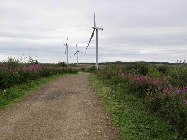
Covered in lush green vegetation and offering stunning panoramic views of the surrounding countryside, Ballageich Hill is a popular destination for hikers, nature enthusiasts, and locals seeking a peaceful retreat. Its location near the River Clyde adds to its charm, with the waterway providing a picturesque backdrop. The hill is easily accessible, with well-marked trails leading to the summit.

At the top of Ballageich Hill, visitors can enjoy breathtaking vistas of the Renfrewshire countryside, including the nearby towns of Paisley and Inchinnan. On clear days, it is even possible to spot the distant profiles of the city of Glasgow and the towering Campsie Fells.

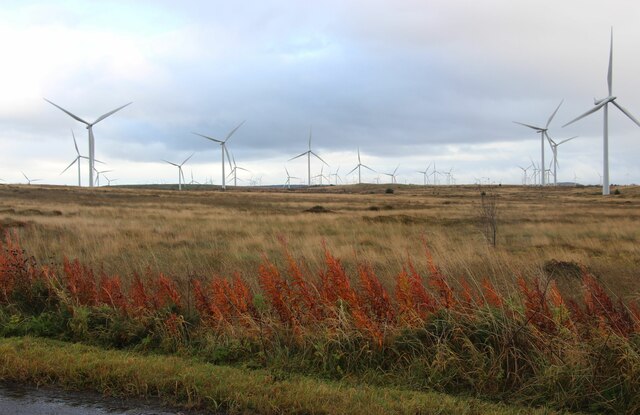
Throughout the year, the hill's natural beauty transforms, with vibrant wildflowers blooming in the spring and a rich tapestry of autumnal colors painting the landscape in the fall. The area is also home to various wildlife species, including birds, rabbits, and deer, making it a haven for nature lovers and photographers.

Overall, Ballageich Hill in Renfrewshire offers a tranquil and scenic escape from urban life, allowing visitors to immerse themselves in the beauty of Scotland's countryside and enjoy a peaceful respite in nature.

If you have any feedback on the listing, please let us know in the comments section below.

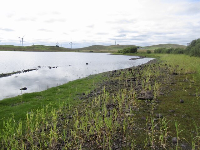
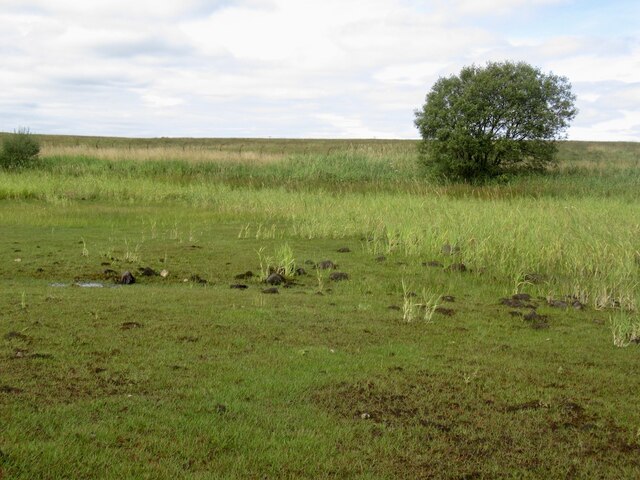
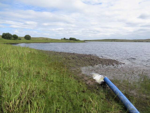
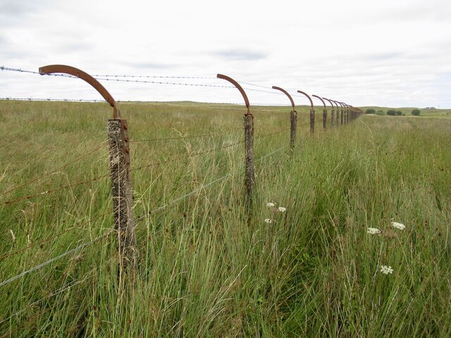
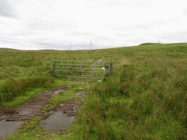
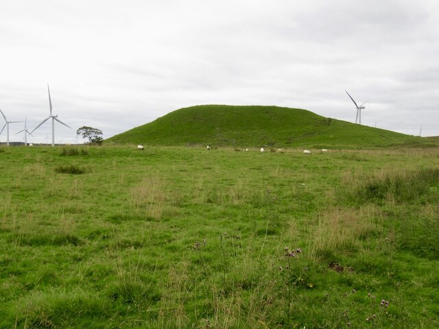
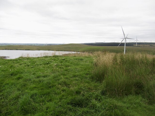
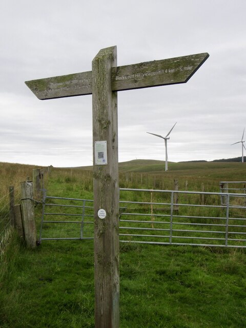
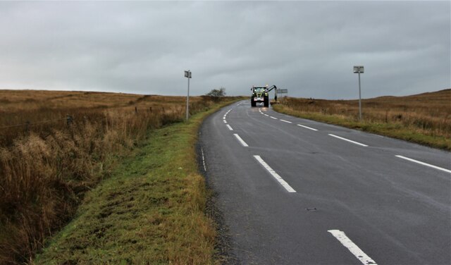
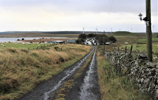
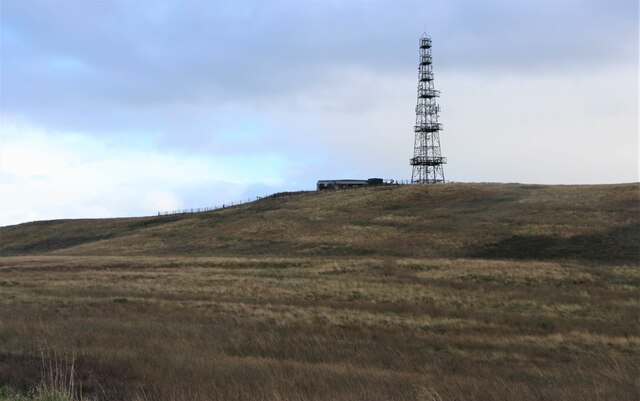
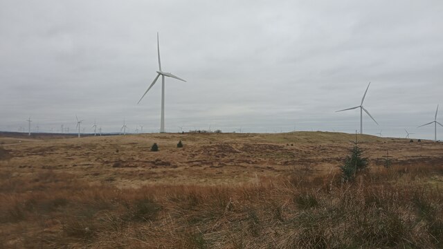
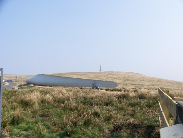
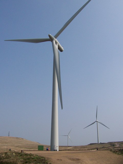
Ballageich Hill Images

Images are sourced within 2km of 55.72267/-4.339616 or Grid Reference NS5350. Thanks to Geograph Open Source API. All images are credited.

Beach, Dunwan Dam Easier going than the surrounding marsh.
Beach, Dunwan Dam
Easier going than the surrounding marsh.
Shoreline, Dunwan Dam
Inflow, Dunwan Dam There are three pipes discharging water and they can be seen from the Eaglesham Moor road. The water is probably from one or more of the reservoirs to the north.
Inflow, Dunwan Dam
There are three pipes discharging water and they can be seen from the Eaglesham Moor road. The water is probably from one or more of the reservoirs to the north.
Fence, Dunwan Dam A fearsome obstacle, but it is in poor repair and I could squeeze through. Set in marshland which was a much tougher opponent.

Old maps show a track here, but there is nothing on the ground but pain. The track has made it onto the Naturescot core paths map but as is common in the East Renfrewshire council area all but impassible. A brutal struggle.
Fence, Dunwan Dam
A fearsome obstacle, but it is in poor repair and I could squeeze through. Set in marshland which was a much tougher opponent. Old maps show a track here, but there is nothing on the ground but pain. The track has made it onto the Naturescot core paths map but as is common in the East Renfrewshire council area all but impassible. A brutal struggle.
Gate below Braehead Hill My struggle from Dunwan was over - waymarked paths, orienteering map, just spoiled on the Whitelees Wind Farm.
Gate below Braehead Hill
My struggle from Dunwan was over - waymarked paths, orienteering map, just spoiled on the Whitelees Wind Farm.
Dunwan Hill Looks like a bing, but is natural. Carries a hill fort and fine view.
Dunwan Hill
Looks like a bing, but is natural. Carries a hill fort and fine view.
Summit, Dunwan Hill At last I have Dunwan Hill. Off now to do twa.   Dunwan Dam in the background.
Summit, Dunwan Hill
At last I have Dunwan Hill. Off now to do twa. Dunwan Dam in the background.
Signpost, Whitelees Wind Farm
Whitelee Wind Farm
Whitelee Wind Farm
Turbine blade, Whitelee Usual internet logos on a COP26 leftover at the entrance to the visitor centre.
Turbine blade, Whitelee
Usual internet logos on a COP26 leftover at the entrance to the visitor centre.
Road out of Whitelee Wind Farm
Whitelee windfarm
Whitelee windfarm
Eaglesham Moor road at Queenseat Hill
Road to Greenfield
Road to Greenfield
Communications Tower on Greenfield Hill
Whitelee Windfarm This is the UK's biggest windfarm, and has been for years - if it was built today the 215 turbines would be bigger and better and produce nearly twice the electricity. (This is not a criticism - technology only improves once things get started!)
Whilst wind power, to my mind, is obviously a good thing (though it seems a couple of people had to be sent packing with money in their pockets for this huge place to be built), the problem of storing the energy is highlighted by the recent construction of a lithium battery here. Apparently it covers half the area of a football pitch and took two or three years to build, but is only rated at 50MWh. The older turbines here generate power of around 2.5MW. This therefore means that for all that trouble and money, the battery is only able to store the energy made by 20 of those turbines spinning for an hour.
The problem with electricity is that it is instant - your kettle is pretty much using the electricity generated by one of these wind turbines (if everything's connected in such a way of course) as its blades turn.  So when the wind blows the turbines turn everywhere and there is too much electricity, so things either get turned off, or they just let the electricity escape in a mysterious manner. And when it doesn't blow, there is no electricity to be made. Energy storage, therefore, is by far the biggest hurdle to be crossed before renewables can properly take over electricity generation.
(I have tripe-checked, and the reason the nearby reservoir is hidden on this picture is because the ground rises up slightly before the shore!)
Whitelee Windfarm
This is the UK's biggest windfarm, and has been for years - if it was built today the 215 turbines would be bigger and better and produce nearly twice the electricity. (This is not a criticism - technology only improves once things get started!) Whilst wind power, to my mind, is obviously a good thing (though it seems a couple of people had to be sent packing with money in their pockets for this huge place to be built), the problem of storing the energy is highlighted by the recent construction of a lithium battery here. Apparently it covers half the area of a football pitch and took two or three years to build, but is only rated at 50MWh. The older turbines here generate power of around 2.5MW. This therefore means that for all that trouble and money, the battery is only able to store the energy made by 20 of those turbines spinning for an hour. The problem with electricity is that it is instant - your kettle is pretty much using the electricity generated by one of these wind turbines (if everything's connected in such a way of course) as its blades turn. So when the wind blows the turbines turn everywhere and there is too much electricity, so things either get turned off, or they just let the electricity escape in a mysterious manner. And when it doesn't blow, there is no electricity to be made. Energy storage, therefore, is by far the biggest hurdle to be crossed before renewables can properly take over electricity generation. (I have tripe-checked, and the reason the nearby reservoir is hidden on this picture is because the ground rises up slightly before the shore!)
Turbine blade at the entrance to Whitelee Windfarm
Whitelee Windfarm You can get some idea of the height of the turbine from the size of the people standing at its base.
Whitelee Windfarm
You can get some idea of the height of the turbine from the size of the people standing at its base.
Show me another place!

Ballageich Hill is located at Grid Ref: NS5350 (Lat: 55.72267, Lng: -4.339616)

Unitary Authority: East Renfrewshire

Police Authority: Greater Glasgow

What 3 Words

///maddening.skins.history. Near Eaglesham, East Renfrewshire

Related Wikis

Eaglesham

Eaglesham ( EE-gəl-səm) is a village in East Renfrewshire, Scotland, situated about 10 miles (16 km) south of Glasgow, 3 miles (5 km) southeast of Newton...

A726 road

The A726 road in Scotland is a major route with several distinct sections with different characteristics and names; owing to its stages of construction...

Mearns Castle High School

Mearns Castle High School is a secondary school situated on Waterfoot Road in Newton Mearns, East Renfrewshire, Scotland roughly seven miles from Glasgow...

Millhall

Millhall is a hamlet in East Renfrewshire, in the Central Lowlands of Scotland. It lies 0.8 miles (1.3 km) southeast of Eaglesham, 8.3 miles (13.4 km)...
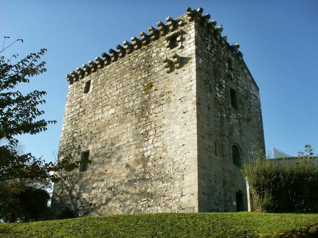
Mearns Castle

Mearns Castle is a 15th-century tower house in Newton Mearns, East Renfrewshire, south of Glasgow, Scotland. It is a Category A listed building. The castle...

Newton Mearns

Newton Mearns (Scots: The Mearns; Scottish Gaelic: Baile Ùr na Maoirne [ˈpalə ˈuːɾ nə ˈmɯːrˠɲə]) is a suburban town and the largest settlement in East...

Glasgow Reform Synagogue

Glasgow Reform Synagogue is a synagogue in Newton Mearns, East Renfrewshire, Scotland. It is a member of the Movement for Reform Judaism and is the only...

Netherplace

Netherplace is a hamlet in East Renfrewshire. It is to the west of Newton Mearns, and adjacent to the M77 motorway. The settlement is almost entirely along...

Nearby Amenities

Located within 500m of 55.72267,-4.339616
Ballageich Hill
Ele: 333
Natural: peak
Lat/Long: 55.722783/-4.3398189
The data included in this document is from www.openstreetmap.org. The data is made available under ODbL.

Have you been to Ballageich Hill?

Leave your review of Ballageich Hill below (or comments, questions and feedback).