Acquaintance Hill
Hill, Mountain in Kirkcudbrightshire
Scotland
Acquaintance Hill
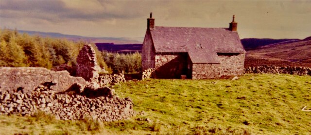
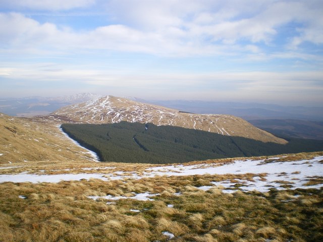
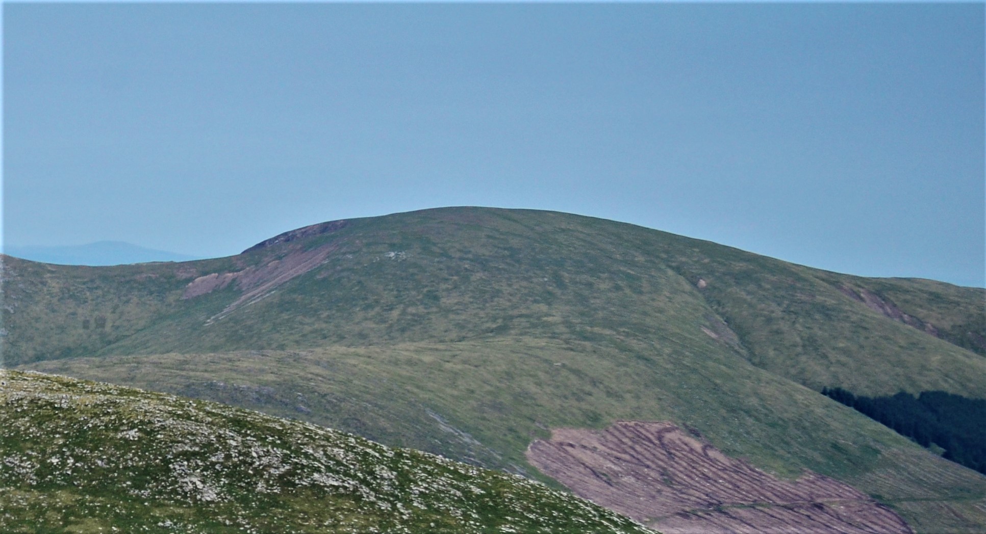
Acquaintance Hill is a prominent hill located in the region of Kirkcudbrightshire, Scotland. Situated within the picturesque Galloway Forest Park, it is a notable landmark that attracts both locals and tourists alike.
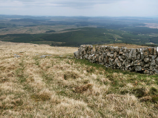
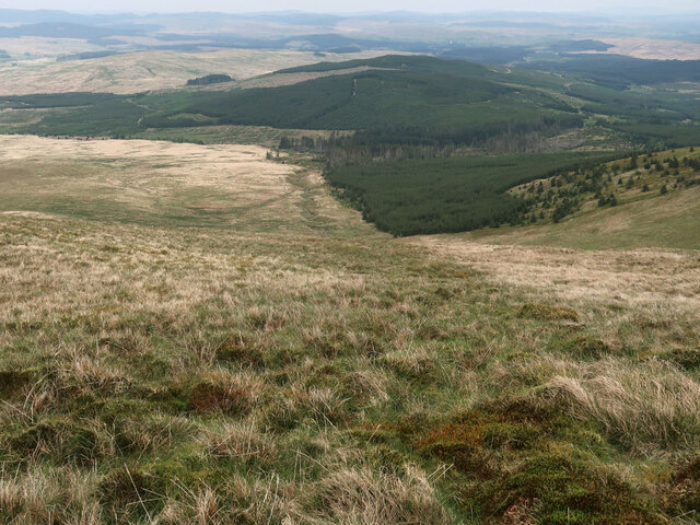
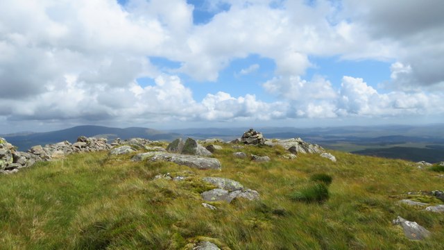
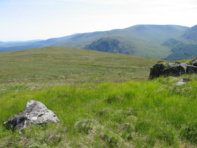
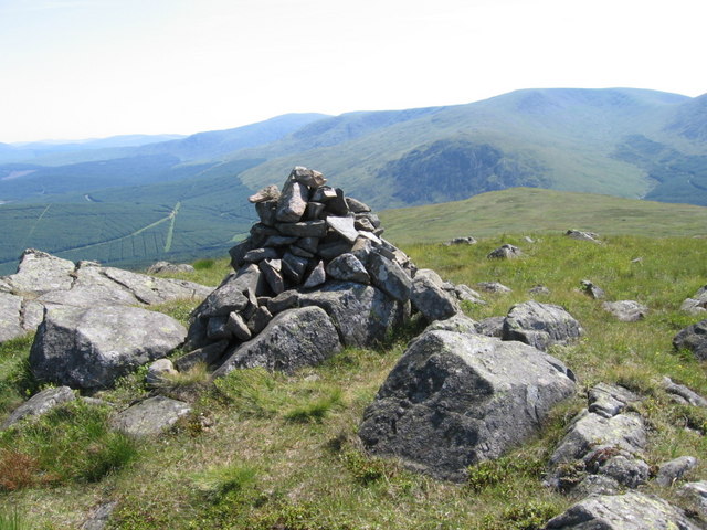
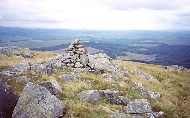
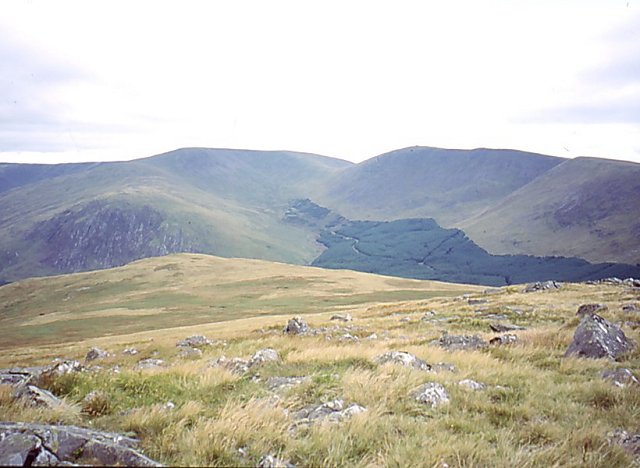
Rising to an impressive height of approximately 556 meters (1824 feet), Acquaintance Hill offers breathtaking panoramic views of the surrounding landscape. From its summit, visitors can admire the rolling hills, lush forests, and sparkling lochs that characterize the stunning Scottish countryside.
The hill is renowned for its diverse flora and fauna, with several rare and protected species calling it home. Nature enthusiasts will be delighted by the variety of wildlife that can be spotted in the area, including red deer, golden eagles, and red squirrels.
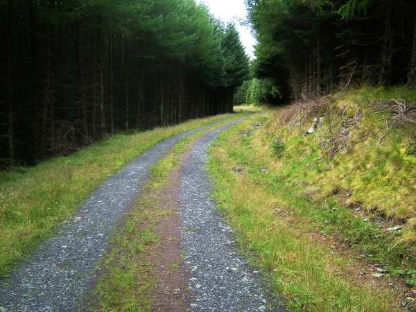
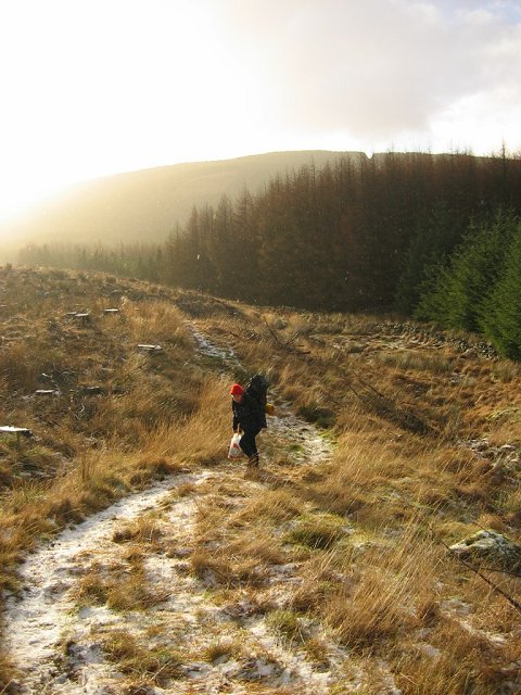
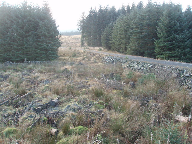
Acquaintance Hill is a popular destination for hikers and outdoor enthusiasts due to its well-maintained trails and accessibility. The ascent can be challenging at times, but the rewarding views make it well worth the effort. It is advisable for visitors to come prepared with suitable footwear, as the terrain can be uneven and slippery in certain sections.
For those interested in history, Acquaintance Hill also holds cultural significance. The hill is said to have been named after an ancient Scottish clan, adding a touch of heritage to the already mesmerizing landscape.
Overall, Acquaintance Hill in Kirkcudbrightshire is a must-visit destination for nature lovers and those seeking a tranquil escape in the heart of Scotland's stunning countryside.
If you have any feedback on the listing, please let us know in the comments section below.
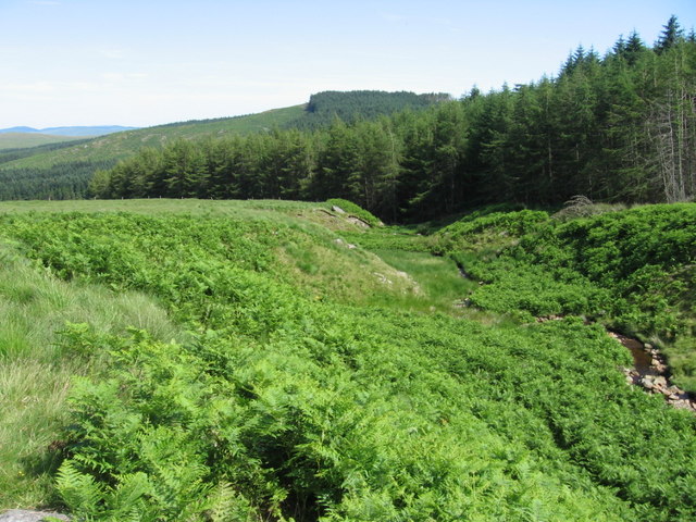
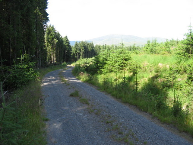
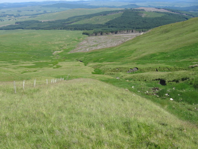
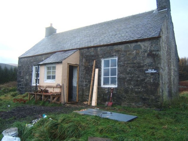
Acquaintance Hill Images
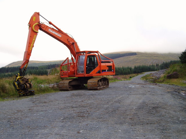
Images are sourced within 2km of 55.187888/-4.3096956 or Grid Reference NX5390. Thanks to Geograph Open Source API. All images are credited.

Acquaintance Hill is located at Grid Ref: NX5390 (Lat: 55.187888, Lng: -4.3096956)
Unitary Authority: Dumfries and Galloway
Police Authority: Dumfries and Galloway
What 3 Words
///cracking.united.named. Near Bellsbank, East Ayrshire
Nearby Locations
Related Wikis

Carsphairn
Carsphairn (Scottish Gaelic: An Còrsa Feàrna) is a village in the historic county of Kirkcudbrightshire in Dumfries and Galloway, Scotland. It is located...

Rhinns of Kells
The Rhinns of Kells are a range of hills in the Galloway Hills range, part of the Southern Uplands of Scotland. The most easterly of three parallel ridges...
Corserine
Corserine is a hill in the Rhinns of Kells, a sub-range of the Galloway Hills range, part of the Southern Uplands of Scotland. The highest point of the...

Loch Doon Castle
Loch Doon Castle was a castle that was located on an island within Loch Doon, Scotland. The original site and the relocated remains are designated as scheduled...
Have you been to Acquaintance Hill?
Leave your review of Acquaintance Hill below (or comments, questions and feedback).