Meikle Hill

Hill, Mountain in Ayrshire

Scotland

Meikle Hill

Nith Bridge view Looking downstream on a bright mid-January morning.
Nith Bridge view Credit: Mary and Angus Hogg

Meikle Hill is a prominent hill located in Ayrshire, Scotland. It is situated near the town of Dalry and overlooks the surrounding countryside, offering stunning panoramic views of the area. The hill is a popular destination for hikers and nature enthusiasts, with a network of trails leading to the summit.

Meikle Hill stands at an elevation of approximately 1,047 feet (319 meters) above sea level, making it one of the higher points in the region. The hill is known for its diverse flora and fauna, with a variety of plant species and wildlife inhabiting the area. Visitors can expect to see heather, bracken, and grasses covering the slopes, as well as birds such as buzzards and kestrels soaring overhead.

The summit of Meikle Hill offers breathtaking views of the surrounding landscape, including rolling hills, farmland, and distant mountains. On a clear day, it is possible to see as far as the Isle of Arran and the Firth of Clyde. Overall, Meikle Hill is a picturesque and tranquil spot that provides a perfect escape from the hustle and bustle of everyday life.

If you have any feedback on the listing, please let us know in the comments section below.
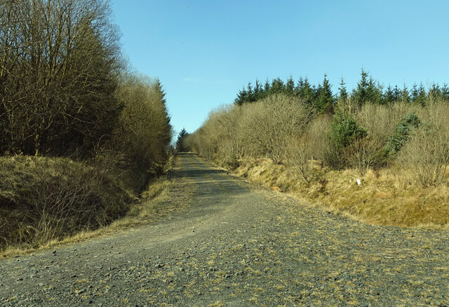
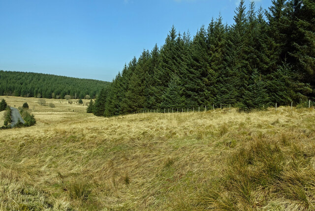
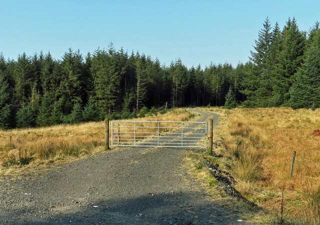
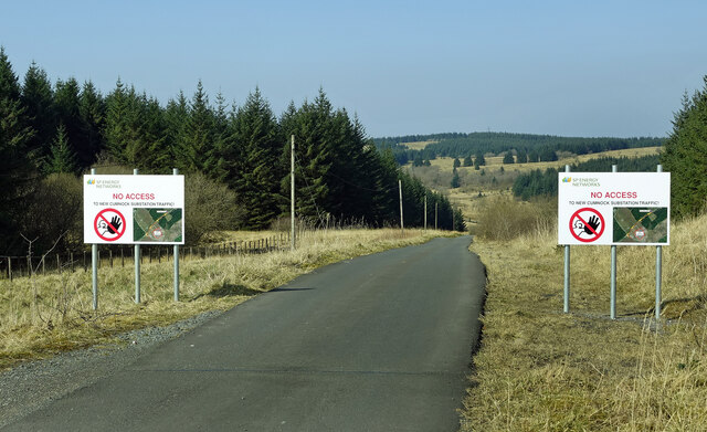
Meikle Hill Images

Images are sourced within 2km of 55.340401/-4.3187239 or Grid Reference NS5307. Thanks to Geograph Open Source API. All images are credited.

Nith Bridge view Looking downstream on a bright mid-January morning.
Nith Bridge view
Looking downstream on a bright mid-January morning.
Forest track near Benbain The track that climbs up the hill continues for about 4 Km. The route on the left ends abruptly at the old Pennyvenie open-cast site.
Forest track near Benbain
The track that climbs up the hill continues for about 4 Km. The route on the left ends abruptly at the old Pennyvenie open-cast site.
Forest edge The forest stretches downhill to Beoch Lane.
Forest edge
The forest stretches downhill to Beoch Lane.
Forest track for Rig Hill This is one of the forest access tracks that lead to Rig Hill. A lot of recent clear-felling has taken place in this area.
Forest track for Rig Hill
This is one of the forest access tracks that lead to Rig Hill. A lot of recent clear-felling has taken place in this area.
Upper Beoch access road The signs make it clear that this is not the way to reach the New Cumnock electricity sub-station.
Upper Beoch access road
The signs make it clear that this is not the way to reach the New Cumnock electricity sub-station.
A forestry clear fell area This was viewed close to the junction of the B741 Dalmellington to New Cumnock road and the Prickeny Road forest track.
A forestry clear fell area
This was viewed close to the junction of the B741 Dalmellington to New Cumnock road and the Prickeny Road forest track.
B741 looking southwest towards Dalmellington
B741 looking towards New Cumnock
Forest and clearfell This is viewed from the B741.
Forest and clearfell
This is viewed from the B741.
B741 looking towards Dalmellington The track, on the left, is the end of a forestry road. The yellow sign has tourist information about Dalmellington.
B741 looking towards Dalmellington
The track, on the left, is the end of a forestry road. The yellow sign has tourist information about Dalmellington.
A forestry track heading northwest
Meiklehill viewed from the B741
Gates at the entrance to Meiklehill
The sign for Nith Lodge
The entrance to Nith Lodge
Knockenlee
Knockenlee
Towards New Cumnock This road, viewed at the start of Prickeny forest road, connects New Cumnock and Dalmellington.
Towards New Cumnock
This road, viewed at the start of Prickeny forest road, connects New Cumnock and Dalmellington.
Prickeny Road The start of Prickeny Road, with recent clear fell on the left and mature trees on the right.
Prickeny Road
The start of Prickeny Road, with recent clear fell on the left and mature trees on the right.
Show me another place!

Meikle Hill is located at Grid Ref: NS5307 (Lat: 55.340401, Lng: -4.3187239)

Unitary Authority: East Ayrshire

Police Authority: Ayrshire

What 3 Words

///notebook.insect.regret. Near Dalmellington, East Ayrshire

Nearby Locations

Meikle Hill

Related Wikis

Dalmellington

Dalmellington (Scots: Dawmellinton, Scottish Gaelic: Dail M'Fhaolain) is a market town and civil parish in East Ayrshire, Scotland. In 2001 the village...

Dalmellington railway station

Dalmellington railway station served the town of Dalmellington, East Ayrshire, Scotland, from 1856 to 1964 on the Ayr and Dalmellington Railway. ��2�...

Doon Academy

Doon Academy is a secondary school in Dalmellington that caters to the local surrounding areas Dalmellington, Patna, Rankinston and Bellsbank. The current...
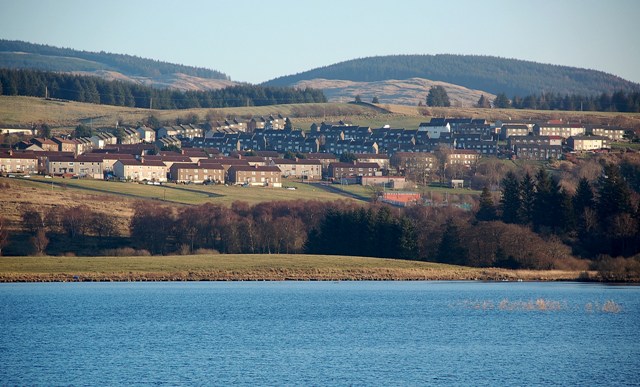
Bellsbank

Bellsbank is a village half a mile away from the market town of Dalmellington in East Ayrshire, Scotland. It is the second-highest place in East Ayrshire...

Have you been to Meikle Hill?

Leave your review of Meikle Hill below (or comments, questions and feedback).