Hurlet Hill

Hill, Mountain in Renfrewshire

Scotland

Hurlet Hill

Dovecothall Roundabout, Barrhead Dovecote Pub.
Dovecothall Roundabout, Barrhead Credit: wfmillar

Hurlet Hill is a prominent landmark located in the county of Renfrewshire in Scotland. Situated just south of Glasgow, this hill is part of the wider geological formation known as the Cathkin Braes, which consists of a series of low hills and ridges formed during the last ice age.

With an elevation of approximately 200 meters (656 feet), Hurlet Hill offers panoramic views of the surrounding landscape, including the nearby cities of Glasgow and Paisley. The hill is primarily composed of sandstone, giving it a distinctive reddish hue and contributing to its aesthetic appeal.

Hurlet Hill is a popular destination for outdoor enthusiasts and nature lovers. Its accessible location and well-maintained trails make it an ideal spot for hiking, walking, and running. The hill also attracts birdwatchers, as it provides habitat for a variety of species, including kestrels and buzzards.

Additionally, Hurlet Hill has historical significance. It was once the site of a limestone quarry, which operated from the 19th century until the mid-20th century. Today, remnants of the quarry can still be seen in the form of disused buildings and quarry pits.

Overall, Hurlet Hill offers a blend of natural beauty, recreational opportunities, and historical interest. Whether one is seeking a peaceful walk, a challenging hike, or a chance to explore the region's industrial past, Hurlet Hill provides a diverse and captivating experience for visitors.

If you have any feedback on the listing, please let us know in the comments section below.
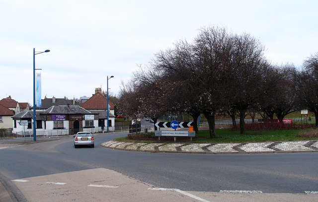
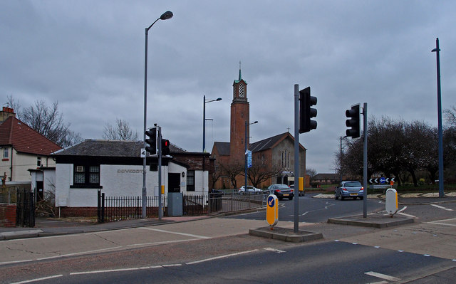
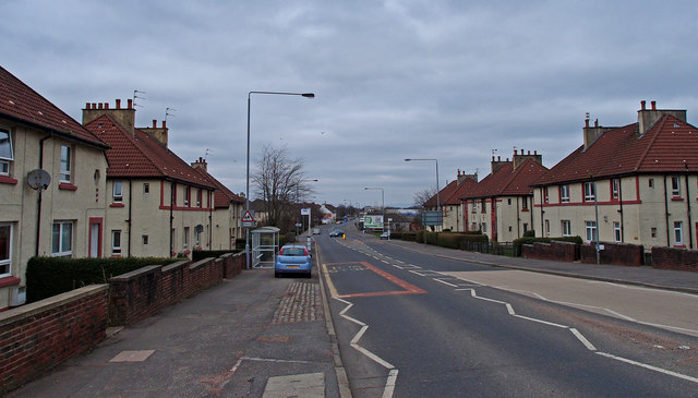
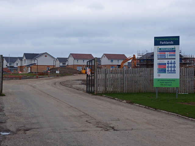
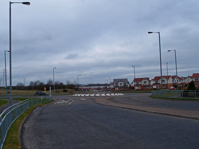
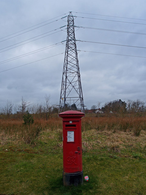
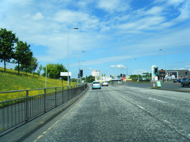
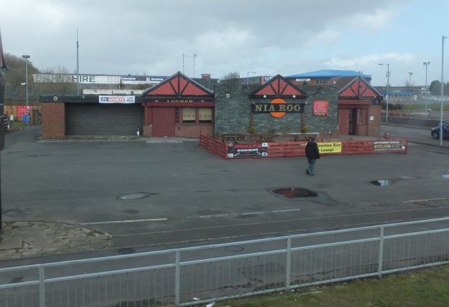
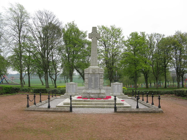
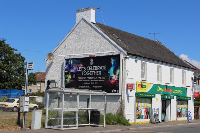
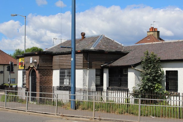
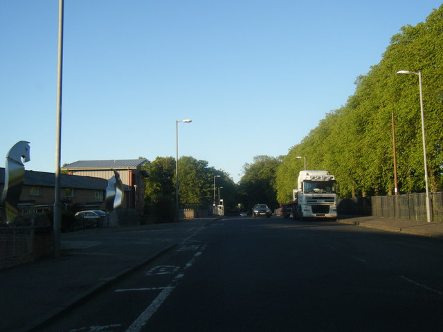
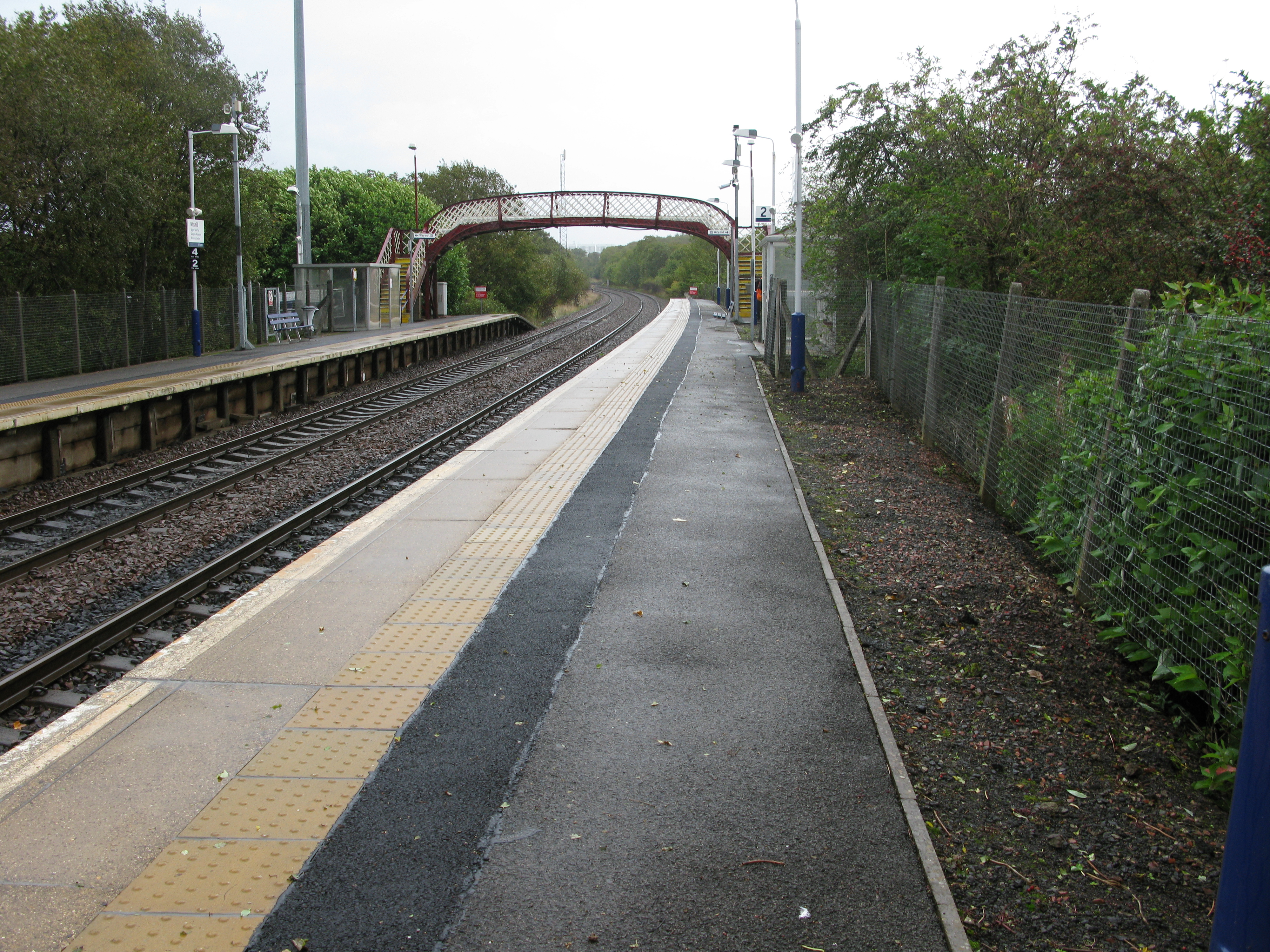
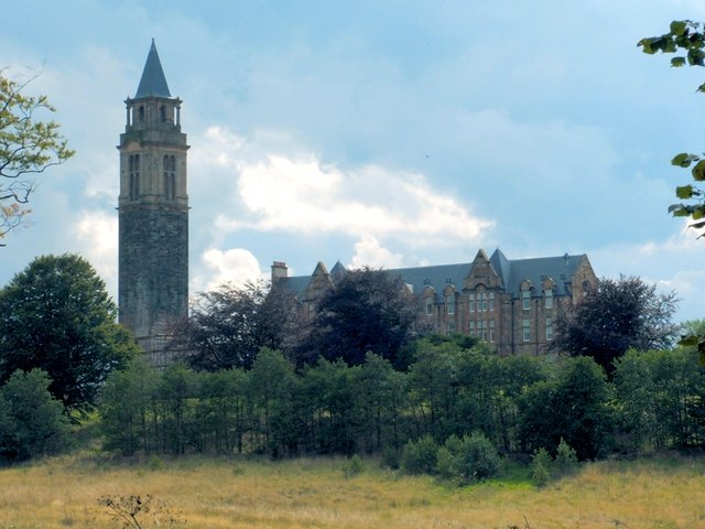
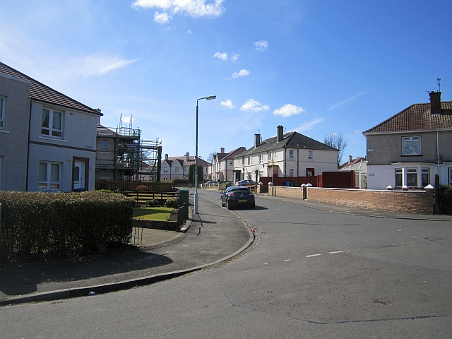
Hurlet Hill Images

Images are sourced within 2km of 55.82104/-4.3734097 or Grid Reference NS5161. Thanks to Geograph Open Source API. All images are credited.

Dovecothall Roundabout, Barrhead Dovecote Pub.
Dovecothall Roundabout, Barrhead
Dovecote Pub.
Dovecothall Roundabout, Barrhead St John's Catholic Church sits beside this busy roundabout on the A736 as does the Dovecote Pub.
Dovecothall Roundabout, Barrhead
St John's Catholic Church sits beside this busy roundabout on the A736 as does the Dovecote Pub.
Glasgow Road, Barrhead A736
Glasgow Road, Barrhead
A736
South Nitshill More houses.
South Nitshill
More houses.
South Nitshill Looking towards a roundabout on the B773 Parkhouse Road. This area is covered in new housing.
South Nitshill
Looking towards a roundabout on the B773 Parkhouse Road. This area is covered in new housing.
Postbox and Pylon, South Nitshill, Barrhead
A726 at Darnley Industrial Estate
Nia Roo Former pub on Nitshill Road by Woodneuk Road.  Spelled backward, this reads 'Oor Ain' and was apparently frequented by Rangers supporters.
Nia Roo
Former pub on Nitshill Road by Woodneuk Road. Spelled backward, this reads 'Oor Ain' and was apparently frequented by Rangers supporters.
Barrhead War Memorial Impressive grey stone memorial in Cowan Park, Barrhead.
Barrhead War Memorial
Impressive grey stone memorial in Cowan Park, Barrhead.
Sculpture & flats at Rankin Way, off Darnley Road, Barrhead
Cowan Park & War Memorial, Barrhead
Lodge House, Cowan Park, Barrhead
Day-Today express, Glasgow Road, Barrhead
Dovecote, Glasgow Road, Barrhead
Darnley Road heading east
Willowford Road Houses on Willowford Road, viewed from the corner of Whitriggs Road.
Willowford Road
Houses on Willowford Road, viewed from the corner of Whitriggs Road.
Whitriggs Road Looking along Whitriggs Road towards Glasgow Museums Resource Centre (far left). The houses are on Whithope Road.
Whitriggs Road
Looking along Whitriggs Road towards Glasgow Museums Resource Centre (far left). The houses are on Whithope Road.
Whitriggs Road Looking south.
Whitriggs Road
Looking south.
Show me another place!

Hurlet Hill is located at Grid Ref: NS5161 (Lat: 55.82104, Lng: -4.3734097)

Unitary Authority: City of Glasgow

Police Authority: Greater Glasgow

What 3 Words

///loaf.royal.echo. Near Barrhead, East Renfrewshire

Related Wikis

Nearby Amenities

Located within 500m of 55.82104,-4.3734097
Traffic Signals
Lat/Long: 55.8186192/-4.3698667
Traffic Signals
Lat/Long: 55.818553/-4.3701135
Traffic Signals
Lat/Long: 55.8186817/-4.3717724
Traffic Signals
Lat/Long: 55.8187939/-4.3716503
Turning Circle
Lat/Long: 55.8237704/-4.3674223
Barrier: stile
Lat/Long: 55.8213506/-4.3736954
Created By: Potlatch 0.10b
Power: tower
Lat/Long: 55.8195889/-4.3683817
Bus Stop
Lat/Long: 55.817417/-4.3737
Hurlet Hill
Natural: peak
Source: OS 1:25k
Lat/Long: 55.8213759/-4.3737291
Bus Stop
Nitshill Road / Barrhead Road
Bus: yes
Naptan AtcoCode: 612044
Naptan Bearing: NW
Naptan CommonName: Hurlet
Naptan Indicator: before
Naptan Landmark: Barrhead Road
Naptan NaptanCode: 37323235
Naptan Street: Nitshill Road
Public Transport: platform
Ref: 612044
Lat/Long: 55.81803/-4.36867
Bus Stop
Nitshill Road / Barrhead Road
Bus: yes
Naptan AtcoCode: 60902813
Naptan Bearing: SE
Naptan CommonName: Hurlet Cottages
Naptan Indicator: Opp
Naptan Landmark: Barrhead Road
Naptan NaptanCode: 45242632
Naptan Street: Nitshill Road
Public Transport: platform
Ref: 60902813
Lat/Long: 55.81819/-4.36848
Bus Stop
Barrhead Road / Hurlethill Court
Bus: yes
Naptan AtcoCode: 60902875
Naptan Bearing: SW
Naptan CommonName: Hurlethill Court
Naptan Indicator: opp
Naptan Landmark: Hurlethill Court
Naptan NaptanCode: 45232958
Naptan Street: Barrhead Road
Public Transport: platform
Ref: 60902875
Lat/Long: 55.819483/-4.3687745
Bus Stop
Barrhead Road / Hurlethill Court
Bus: yes
Naptan AtcoCode: 60902876
Naptan Bearing: NE
Naptan CommonName: Hurlethill Court
Naptan Indicator: after
Naptan Landmark: Hurlethill Court
Naptan NaptanCode: 45242538
Naptan Street: Barrhead Road
Public Transport: platform
Ref: 60902876
Lat/Long: 55.819773/-4.3689967
Bus Stop
Barrhead Road / Nitshill Road
Bus: yes
Naptan AtcoCode: 60902877
Naptan Bearing: SW
Naptan CommonName: Roughmussel
Naptan Indicator: opp
Naptan Landmark: Nitshill Road
Naptan NaptanCode: 45232579
Naptan Street: Barrhead Road
Public Transport: platform
Ref: 60902877
Lat/Long: 55.8208/-4.36678
Bus Stop
Barrhead Road / Nitshill Road
Bus: yes
Naptan AtcoCode: 60902878
Naptan Bearing: NE
Naptan CommonName: Roughmussel
Naptan Indicator: at
Naptan Landmark: Nitshill Road
Naptan NaptanCode: 45235653
Naptan Street: Barrhead Road
Public Transport: platform
Ref: 60902878
Lat/Long: 55.820974/-4.3669541
Hurlet
Place: suburb
Wikidata: Q5946613
Wikipedia: en:Hurlet
Lat/Long: 55.818926/-4.3719004
Bench
Lat/Long: 55.8202969/-4.3665781
Bench
Lat/Long: 55.8203662/-4.3660062
Waste Basket
Lat/Long: 55.8203656/-4.3660553
Traffic Signals
Lat/Long: 55.8186788/-4.3715923
Traffic Signals
Lat/Long: 55.8187862/-4.3715214
The data included in this document is from www.openstreetmap.org. The data is made available under ODbL.

Have you been to Hurlet Hill?

Leave your review of Hurlet Hill below (or comments, questions and feedback).