Tongues Hill
Hill, Mountain in Renfrewshire
Scotland
Tongues Hill
Tongues Hill, located in Renfrewshire, Scotland, is a prominent hill/mountain that offers breathtaking views and outdoor recreational opportunities. Standing at an elevation of approximately 366 meters (1,200 feet), it is a popular destination for hikers, walkers, and nature enthusiasts.
Covered in a mix of grasslands, heather, and scattered trees, Tongues Hill boasts a diverse ecosystem that supports a variety of flora and fauna. The hill is home to numerous bird species, including buzzards and kestrels, as well as small mammals such as rabbits and hares. This makes it an ideal location for birdwatching and wildlife spotting.
The hill is accessible via several well-maintained trails, offering different levels of difficulty for visitors of all fitness levels. As hikers ascend the hill, they can enjoy panoramic views of the surrounding Renfrewshire countryside, including the nearby towns of Paisley and Renfrew, as well as the River Clyde. On clear days, it is even possible to catch a glimpse of the distant mountains of the Scottish Highlands.
Tongues Hill also holds historical significance, with evidence of ancient settlements and burial sites found in the area. Archaeological excavations have revealed remnants of stone tools and pottery, providing insights into the hill's past inhabitants and their way of life.
Overall, Tongues Hill is a remarkable natural landmark in Renfrewshire, offering visitors the opportunity to connect with nature, enjoy stunning views, and immerse themselves in the rich history of the region.
If you have any feedback on the listing, please let us know in the comments section below.
Tongues Hill Images
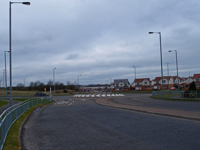
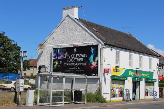
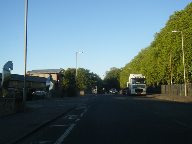
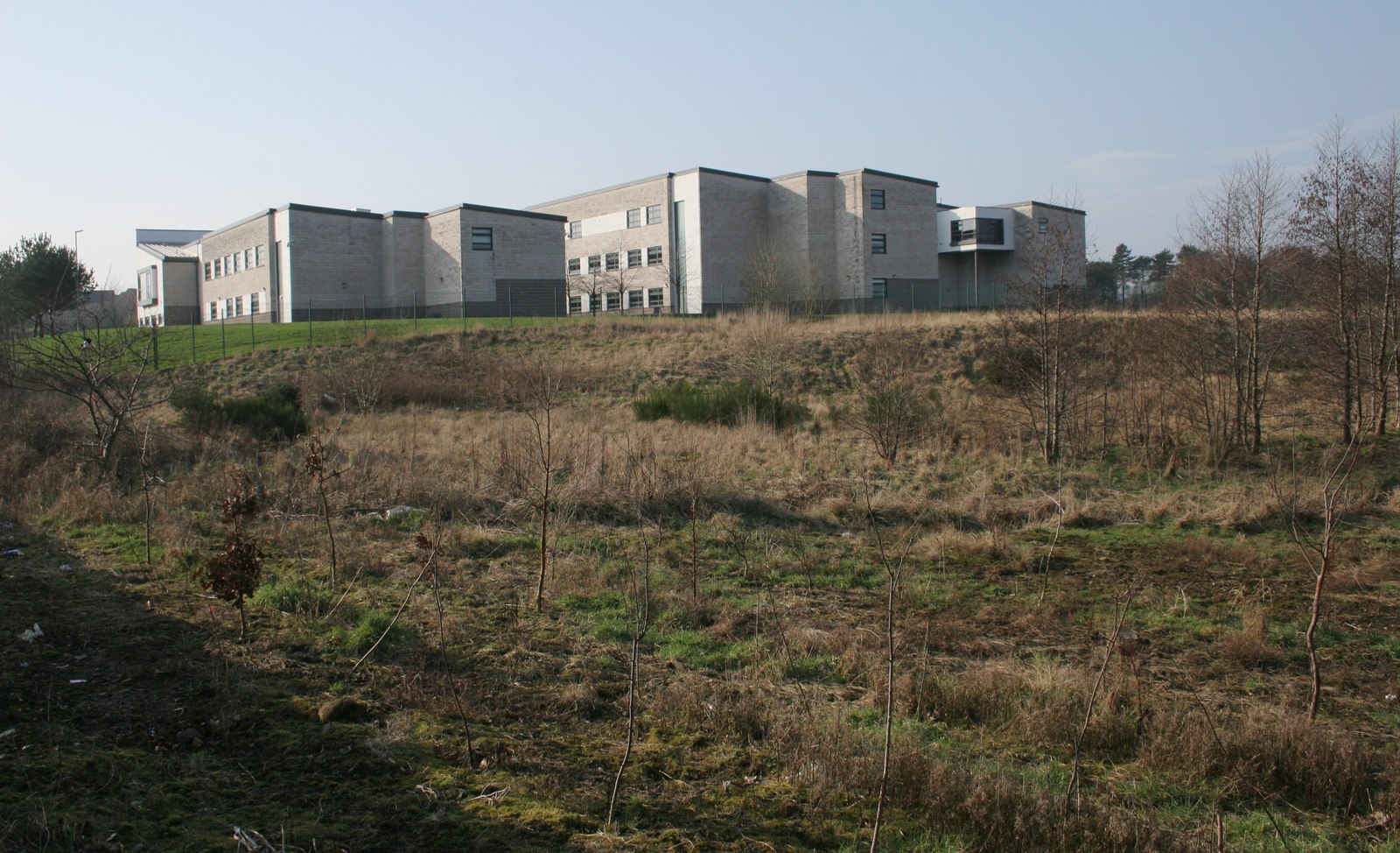
Images are sourced within 2km of 55.822885/-4.3793016 or Grid Reference NS5161. Thanks to Geograph Open Source API. All images are credited.


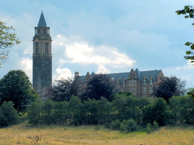
![Spillers site, Barrhead Similar view to Richard Webb&#039;s in 2015 [<a title="https://www.geograph.org.uk/photo/4682074" href="https://www.geograph.org.uk/photo/4682074">Link</a>].](https://s3.geograph.org.uk/geophotos/04/94/87/4948767_81eca8d2.jpg)

Tongues Hill is located at Grid Ref: NS5161 (Lat: 55.822885, Lng: -4.3793016)
Unitary Authority: City of Glasgow
Police Authority: Greater Glasgow
What 3 Words
///email.cost.vocab. Near Barrhead, East Renfrewshire
Nearby Locations
Related Wikis

Hurlet
Hurlet (or The Hurlet) is a small semi-rural district and former mining village, straddling the Renfrewshire-East Renfrewshire-Glasgow border near the...

Roughmussel
Roughmussel is a neighbourhood in the Scottish city of Glasgow. It is situated south of the River Clyde near to the city boundaries with East Renfrewshire...

Hawkhead Castle
Hawkhead Castle was a castle existing in the 17th century, about 1 mile (1.6 km) east of Paisley, Renfrewshire, Scotland, south of the White Cart River...
St Andrew's Academy, Paisley
St Andrew's Academy is a Roman Catholic secondary school in Hawkhead, Paisley, Scotland. The school was opened in 1990, with its importance growing in...
Hawkhead
Hawkhead (Scots: Hauchheid, Scottish Gaelic: Ceann an Dail) is an area near Paisley in Renfrewshire, Scotland. The village is on the Hawkhead Burn and...

Nitshill
Nitshill (Scottish Gaelic: Cnoc nan Cnòthan) is a district on the south side of Glasgow. It is bordered by South Nitshill to the south, Darnley to the...
Leverndale Hospital
Leverndale Hospital is a mental health facility at Crookston, Glasgow, Scotland. It is managed by NHS Greater Glasgow and Clyde. The Towerview Unit, which...
Dykebar Hospital
Dykebar Hospital is a mental health facility in Dykebar, Paisley, Renfrewshire, Scotland. The main building is a Grade B listed building. The hospital...
Nearby Amenities
Located within 500m of 55.822885,-4.3793016Have you been to Tongues Hill?
Leave your review of Tongues Hill below (or comments, questions and feedback).