Hindhead
Settlement in Surrey Waverley
England
Hindhead
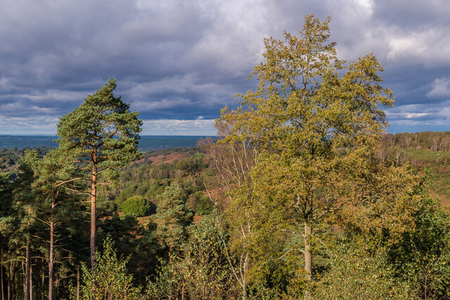
Hindhead is a small village located in the county of Surrey, England. Situated on the northern slopes of the Surrey Hills, it is surrounded by picturesque countryside and offers stunning views of the South Downs National Park.
Historically, Hindhead was known for being a popular stop for travelers on their way from London to Portsmouth. In the 19th century, it became well-known for its coaching inns, which provided a resting place for those journeying between the two cities. Today, the village still retains its charming character and is a sought-after destination for those looking to escape the hustle and bustle of city life.
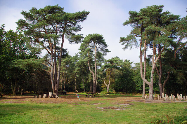
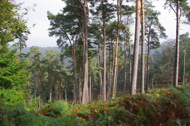
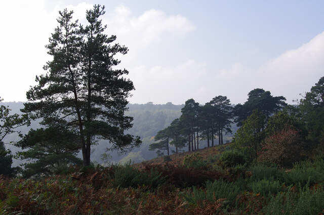
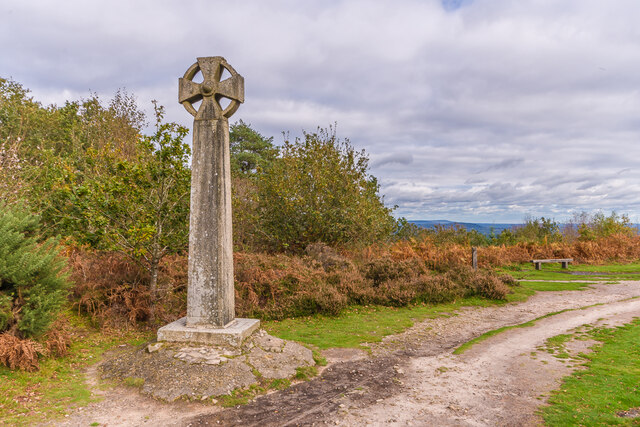
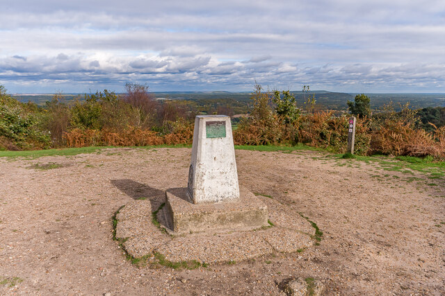
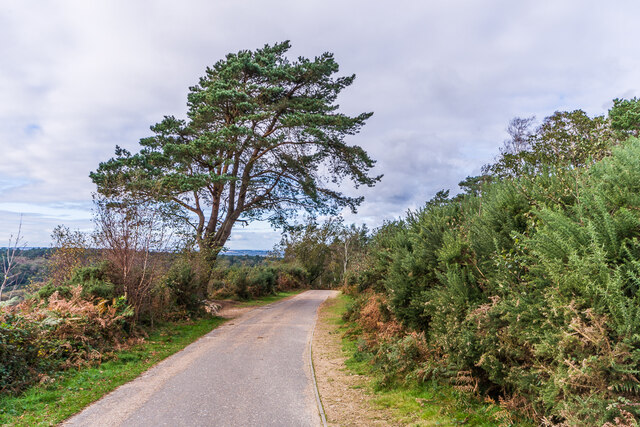
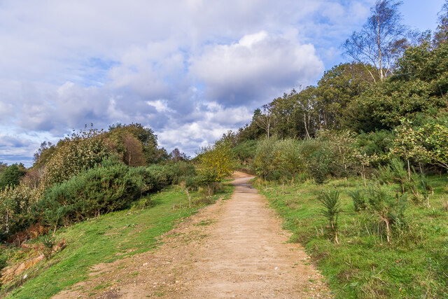
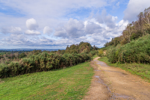
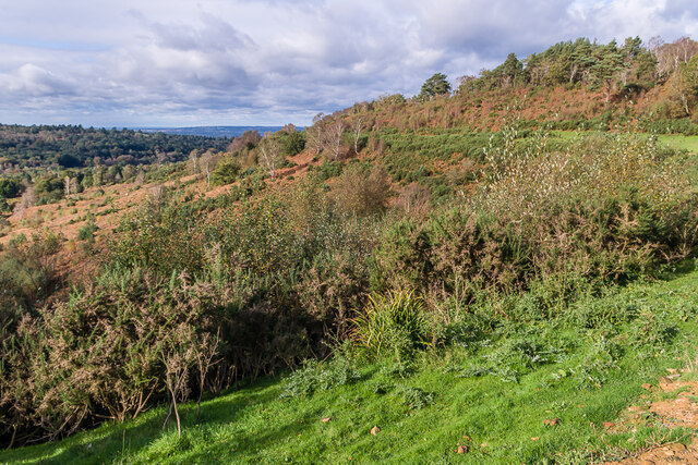
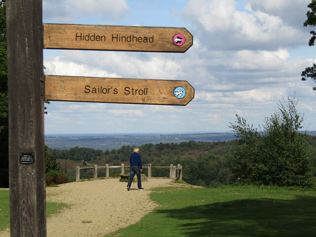
One of the notable attractions in Hindhead is the Devil's Punch Bowl, a large natural amphitheater and beauty spot. This unique site offers visitors the opportunity to explore miles of tranquil walking trails, while enjoying breathtaking views of the surrounding countryside. Additionally, Hindhead is home to the Hindhead Golf Club, providing golfing enthusiasts with an excellent course to enjoy.
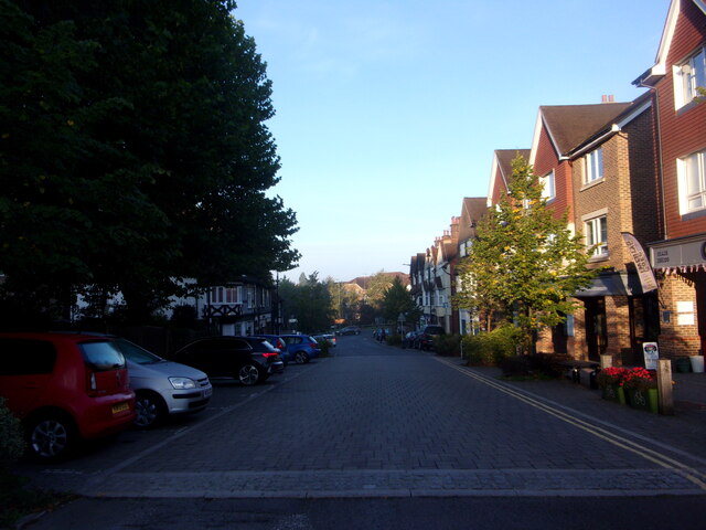
The village itself boasts a range of amenities, including a selection of independent shops, traditional pubs, and restaurants offering a variety of cuisines. It also benefits from excellent transport links, with easy access to major roads such as the A3, connecting it to London and Portsmouth. Hindhead is also served by a railway station, providing further convenience for commuters and tourists alike.
Overall, Hindhead offers a peaceful and idyllic setting, making it an attractive place to live or visit for those seeking a slice of countryside tranquility in the heart of Surrey.
If you have any feedback on the listing, please let us know in the comments section below.
Hindhead Images
Images are sourced within 2km of 51.113761/-0.733634 or Grid Reference SU8835. Thanks to Geograph Open Source API. All images are credited.


Hindhead is located at Grid Ref: SU8835 (Lat: 51.113761, Lng: -0.733634)
Administrative County: Surrey
District: Waverley
Police Authority: Surrey
What 3 Words
///precautions.smoker.snowmen. Near Hindhead, Surrey
Nearby Locations
Related Wikis
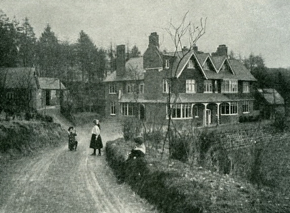
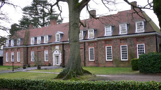
Undershaw
Undershaw is a former residence of the author Sir Arthur Conan Doyle, the creator of Sherlock Holmes. The house was built for Doyle at his order to accommodate...
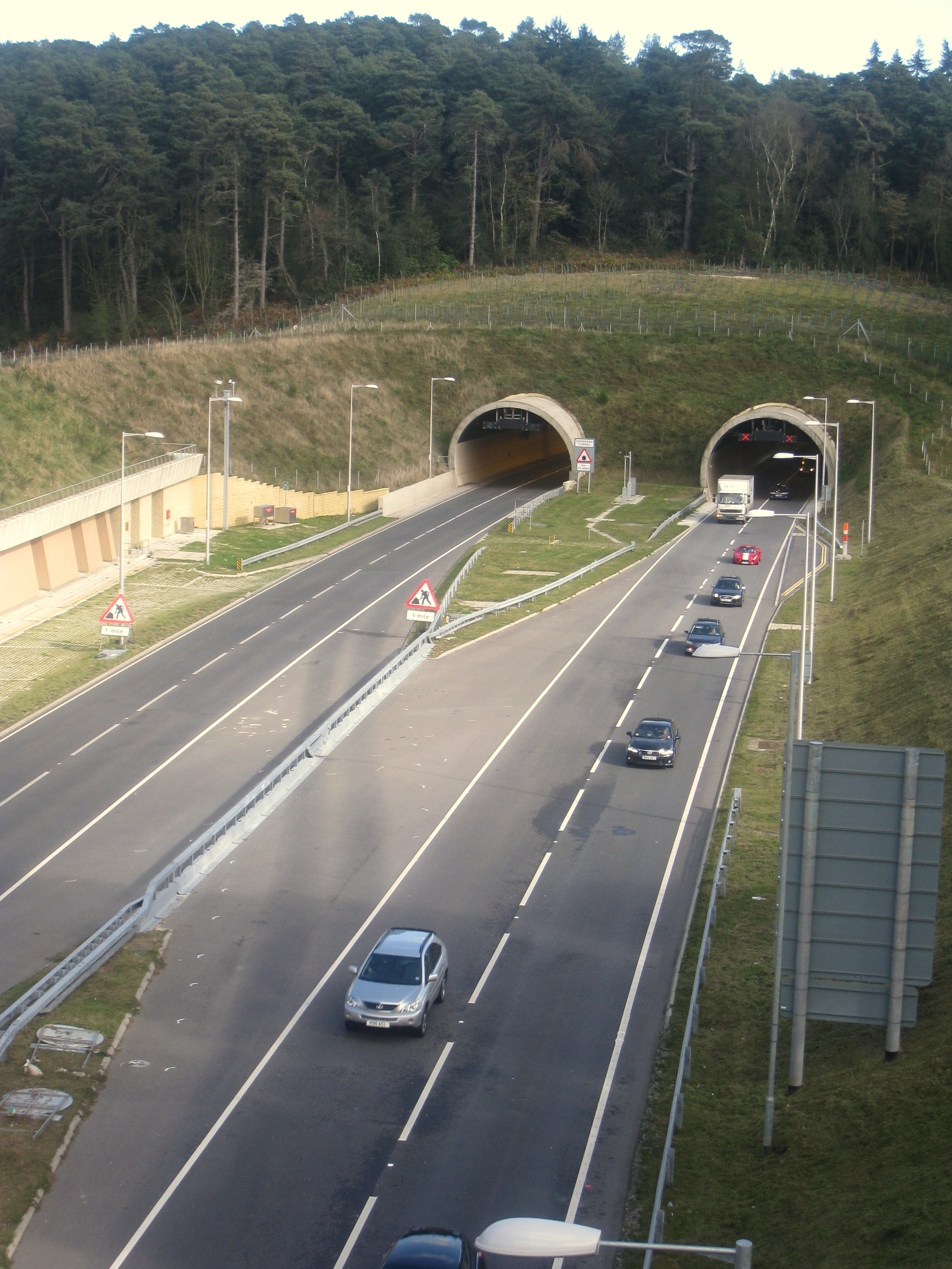
Hindhead Tunnel
The Hindhead Tunnel, opened in 2011, is part of the 4-mile (6.4 km) dual-carriageway that replaced one of the last remaining stretches of single-carriageway...

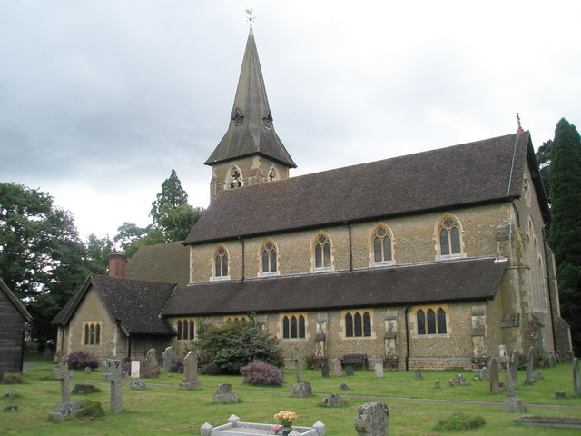
Hindhead
Hindhead is a village in the Waverley district of the ceremonial county of Surrey, England. It is the highest village in the county and its buildings are...

Devil's Punch Bowl
The Devil's Punch Bowl is a 282.2-hectare (697-acre) visitor attraction and biological Site of Special Scientific Interest situated just to the east of...

St Edmund's School, Hindhead
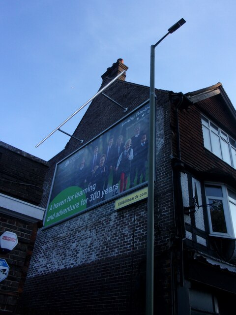
St Edmund's School is a coeducational nursery, pre-prep, preparatory and senior school located in Hindhead, Surrey, around 10.5 miles south-west from the...
Gibbet Hill, Hindhead
Gibbet Hill, at Hindhead, Surrey, is the apex of the scarp surrounding the Devil's Punch Bowl, not far from the A3 London to Portsmouth road in England...
Grayshott
Grayshott is a village and civil parish in the East Hampshire district of Hampshire, England. It is on the Hampshire / Surrey border 4 miles (6.4 km) northwest...
Amesbury School
Amesbury School is a co-educational independent prep school in the Hindhead/Haslemere area of Surrey, England, educating pupils between the ages of 9 months...
Nearby Amenities
Located within 500m of 51.113761,-0.733634Have you been to Hindhead?
Leave your review of Hindhead below (or comments, questions and feedback).