Hindle Fold

Settlement in Lancashire Hyndburn

England

Hindle Fold

Gated Track near Hyndburn Bridge
Gated Track near Hyndburn Bridge Credit: Anthony Parkes

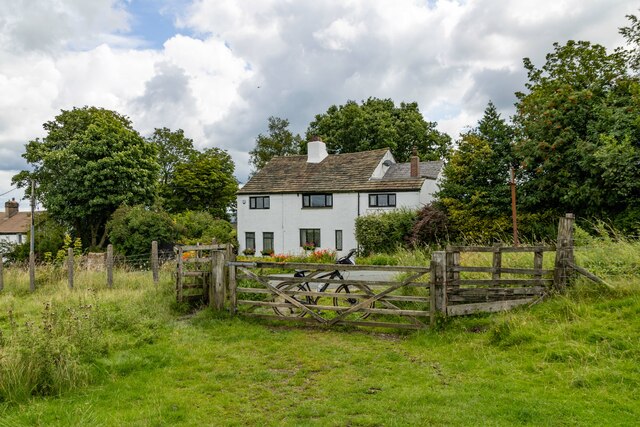
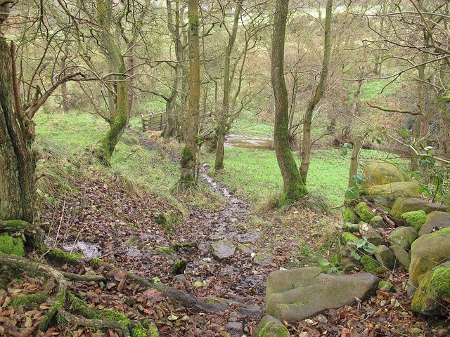
Hindle Fold is a small village located in the county of Lancashire, England. Situated in the borough of Ribble Valley, it is located approximately 3 miles north-east of Clitheroe, a market town in the region. The village is set amidst the picturesque countryside, surrounded by rolling hills and lush green fields.

Hindle Fold is a close-knit community, with a population of around 500 residents. The village is known for its peaceful and idyllic atmosphere, offering a tranquil retreat from the hustle and bustle of city life. It retains a traditional charm, with many of its buildings showcasing a blend of historic architecture and modern amenities.

The village provides a range of amenities to cater to the needs of its residents. These include a local convenience store, a post office, and a village hall that hosts various community events throughout the year. Hindle Fold is also home to a primary school, providing education for children in the area.

The surrounding countryside offers ample opportunities for outdoor activities such as hiking, cycling, and horse riding. The village is also well-connected to neighboring towns and cities, with good transport links via road and public transportation.

Overall, Hindle Fold, Lancashire is a peaceful and scenic village that offers a charming rural lifestyle to its residents. Its close proximity to nature and its sense of community make it an attractive place to live for those seeking a quieter and slower-paced environment.

If you have any feedback on the listing, please let us know in the comments section below.
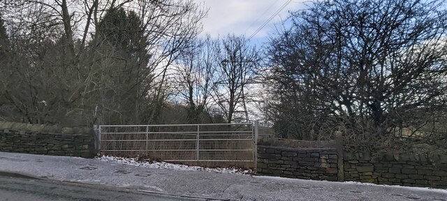
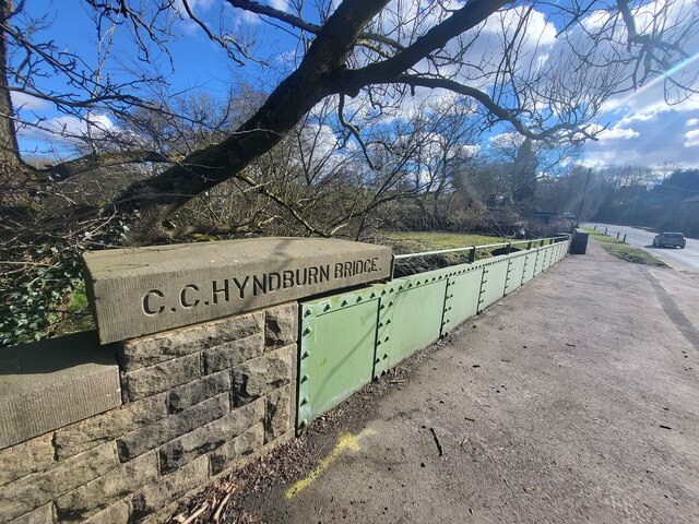
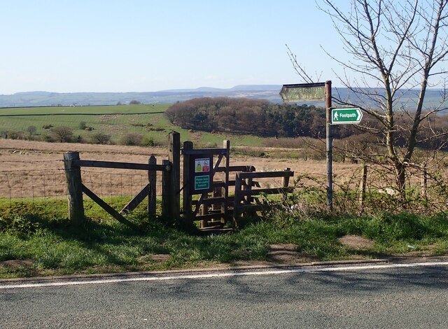
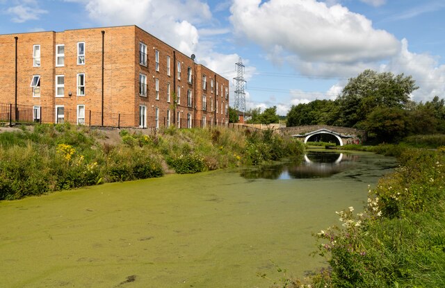
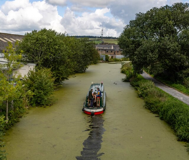
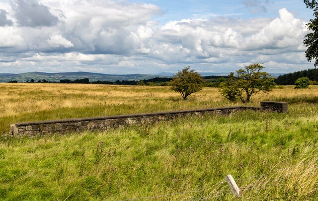
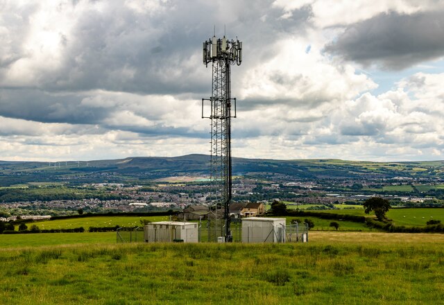
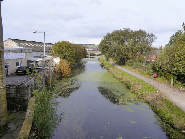
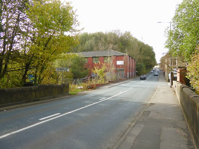
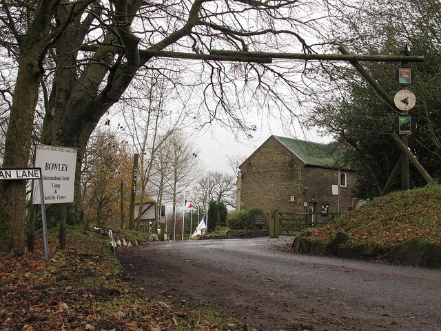
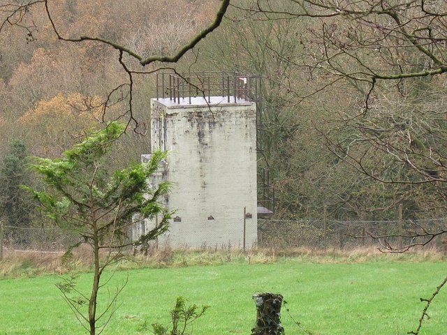
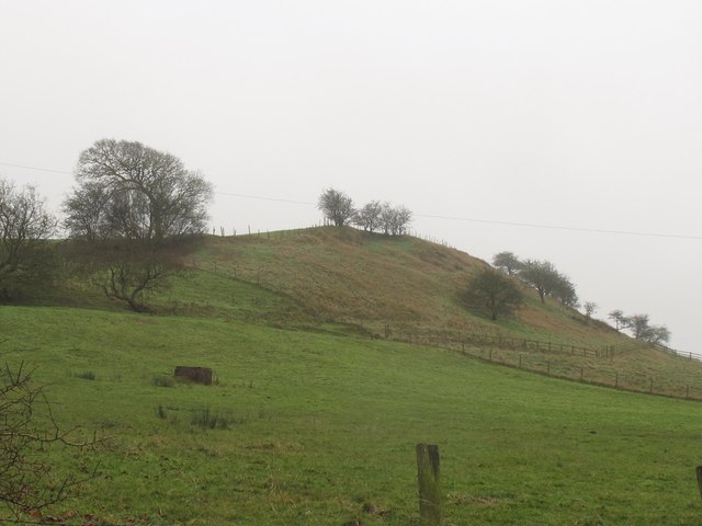
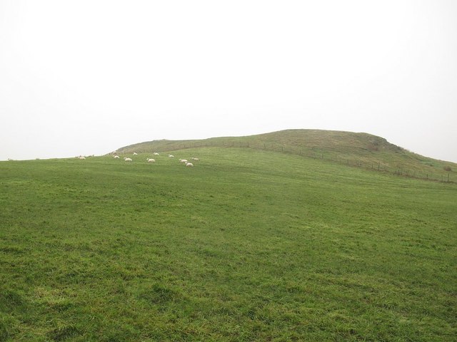
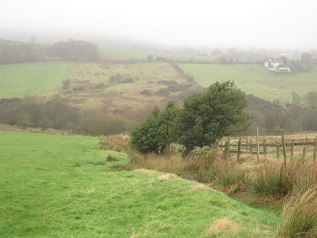
Hindle Fold Images

Images are sourced within 2km of 53.783618/-2.4112496 or Grid Reference SD7332. Thanks to Geograph Open Source API. All images are credited.

Gated Track near Hyndburn Bridge
Church of St. Peter & St. Paul, Rishton
Old Bridge Marker on the A680 Whalley Road Bridge Marker inscribed in the capstone of the north pier of Hyndburn Bridge, Hyndburn Brook, on the east side of the A680 Whalley Road. On the boundary of Great Harwood and Clayton le Moors parishes until 1974 when both were abolished. REBUILT 1930 in inscribed on the capstone of the south pier on the east side of the road.

Milestone Society National ID: LA_GHACLM01br
Old Bridge Marker on the A680 Whalley Road
Bridge Marker inscribed in the capstone of the north pier of Hyndburn Bridge, Hyndburn Brook, on the east side of the A680 Whalley Road. On the boundary of Great Harwood and Clayton le Moors parishes until 1974 when both were abolished. REBUILT 1930 in inscribed on the capstone of the south pier on the east side of the road. Milestone Society National ID: LA_GHACLM01br
Footpath leading to Dean Clough Reservoir The style for the footpath leading across the field opposite the layby on Blackburn Old Road. Both York Road and Dean Clough reservoir can be accessed using the footpath.
Footpath leading to Dean Clough Reservoir
The style for the footpath leading across the field opposite the layby on Blackburn Old Road. Both York Road and Dean Clough reservoir can be accessed using the footpath.
Melrose House Melrose House in Rishton, alongside the Leeds & Liverpool Canal.
Melrose House
Melrose House in Rishton, alongside the Leeds & Liverpool Canal.
Leeds & Liverpool Canal The Leeds and Liverpool Canal is the longest canal in Northern England at 127 miles long. The first of the trans-Pennine canals it took 46 years to build at a cost of five times the original budget, mainly because of the length and complexity of the route. It passes through 91 locks with a summit level of 487 feet at Foulridge near Nelson and Colne. It was originally conceived in the 18th century to carry woollen goods from Leeds and Bradford and limestone from Skipton but in its 19th century heyday it carried stone, coal and many other goods. The impact of the railways was not as great as with other canals and commercial traffic continued along the main canal until 1964. Regular work stopped in 1972 when the movement of coal to Wigan Power Station ceased. In the latter part of the 20th century the leisure potential of the canal was developed and it is now a popular destination for cruising, fishing, walking and cycling. See <span class="nowrap"><a title="http://www.penninewaterways.co.uk/ll/index.htm" rel="nofollow ugc noopener" href="http://www.penninewaterways.co.uk/ll/index.htm">Link</a><img style="margin-left:2px;" alt="External link" title="External link - shift click to open in new window" src="https://s1.geograph.org.uk/img/external.png" width="10" height="10"/></span> for detailed information.
Leeds & Liverpool Canal
The Leeds and Liverpool Canal is the longest canal in Northern England at 127 miles long. The first of the trans-Pennine canals it took 46 years to build at a cost of five times the original budget, mainly because of the length and complexity of the route. It passes through 91 locks with a summit level of 487 feet at Foulridge near Nelson and Colne. It was originally conceived in the 18th century to carry woollen goods from Leeds and Bradford and limestone from Skipton but in its 19th century heyday it carried stone, coal and many other goods. The impact of the railways was not as great as with other canals and commercial traffic continued along the main canal until 1964. Regular work stopped in 1972 when the movement of coal to Wigan Power Station ceased. In the latter part of the 20th century the leisure potential of the canal was developed and it is now a popular destination for cruising, fishing, walking and cycling. See LinkExternal link for detailed information.
Hen Moss The only visible remains of the property at Hen Moss on Blackburn Old Road.
Hen Moss
The only visible remains of the property at Hen Moss on Blackburn Old Road.
Four Winds
Four Winds
Communications Mast
Communications Mast
Leeds and Liverpool Canal View from the bridge on Hermitage Street
Leeds and Liverpool Canal
View from the bridge on Hermitage Street
Entering Rishton on Hermitage Street At the end of Holt Mill Bridge with the former Rishton Paper Mill ahead and the climb up into Rishton
Entering Rishton on Hermitage Street
At the end of Holt Mill Bridge with the former Rishton Paper Mill ahead and the climb up into Rishton
Entrance to Bowley Scout Camp Viewed from the public bridleway, Dean Lane.  You can just about see that the French flag is flying at half mast in the camp, in tribute to the victims of the Islamist attack in Paris a few days earlier.
Entrance to Bowley Scout Camp
Viewed from the public bridleway, Dean Lane. You can just about see that the French flag is flying at half mast in the camp, in tribute to the victims of the Islamist attack in Paris a few days earlier.
Tower near Bowley Scout Camp I don't know whether there is any connection between this concrete tower and the scout camp the other side of Dean Lane, but there might be. It would be the logical place for their sewage treatment, close to the brook, but why such a tall tower if so? See also <a href="https://www.geograph.org.uk/photo/4759501">SD7333 : Tower near Bowley Scout Camp</a>.
Tower near Bowley Scout Camp
I don't know whether there is any connection between this concrete tower and the scout camp the other side of Dean Lane, but there might be. It would be the logical place for their sewage treatment, close to the brook, but why such a tall tower if so? See also SD7333 : Tower near Bowley Scout Camp.
Tower near Bowley Scout Camp I don't know whether there is any connection between this concrete tower and the scout camp the other side of Dean Lane, but there might be. It would be the logical place for their sewage treatment, close to the brook, but why such a tall tower if so? See also <a href="https://www.geograph.org.uk/photo/4759497">SD7333 : Tower near Bowley Scout Camp</a> taken from below the tower.
Tower near Bowley Scout Camp
I don't know whether there is any connection between this concrete tower and the scout camp the other side of Dean Lane, but there might be. It would be the logical place for their sewage treatment, close to the brook, but why such a tall tower if so? See also SD7333 : Tower near Bowley Scout Camp taken from below the tower.
Bowley Hill from the north-east The hill, with a summit of just height over 200m, overlooks Dean Clough to the right.
Bowley Hill from the north-east
The hill, with a summit of just height over 200m, overlooks Dean Clough to the right.
Bowley Hill from the east The hill, with a summit of just height over 200m, overlooks Dean Clough beyond. See also <a href="https://www.geograph.org.uk/photo/4759511">SD7233 : Bowley Hill from the north-east</a>.  Photo taken from the stile <a href="https://www.geograph.org.uk/photo/1691079">SD7233 : Footpath to Bowley Hill</a> at the start of the footpath that passes to the right of the summit.
Bowley Hill from the east
The hill, with a summit of just height over 200m, overlooks Dean Clough beyond. See also SD7233 : Bowley Hill from the north-east. Photo taken from the stile SD7233 : Footpath to Bowley Hill at the start of the footpath that passes to the right of the summit.
Descending Bowley Hill in the mist Visibility actually looked worse to the naked eye than it does in this photo.  As the mist came down, I was wondering about cutting short my walk and heading into Whalley by road, but by the time I reached the next road the mist was clearing.
Descending Bowley Hill in the mist
Visibility actually looked worse to the naked eye than it does in this photo. As the mist came down, I was wondering about cutting short my walk and heading into Whalley by road, but by the time I reached the next road the mist was clearing.
Higher Dean Wood A small wood in the bottom of Dean Clough.
Higher Dean Wood
A small wood in the bottom of Dean Clough.
Show me another place!

Hindle Fold is located at Grid Ref: SD7332 (Lat: 53.783618, Lng: -2.4112496)

Administrative County: Lancashire

District: Hyndburn

Police Authority: Lancashire

What 3 Words

///salsa.smile.bounty. Near Great Harwood, Lancashire

Related Wikis

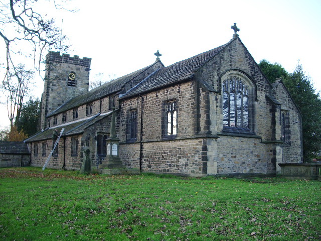
St John's Church, Great Harwood

St John's Church was an Anglican parish church in St Hubert's Road, Great Harwood, Lancashire, England. Its benefice has been united with that of St Bartholomew...

Great Harwood Town Hall

Great Harwood Town Hall is a municipal building in Town Hall Square, Great Harwood, Lancashire, England. The town hall, which was the headquarters of Great...

Great Harwood

Great Harwood is a town in the Hyndburn district of Lancashire, England, located 5 miles (8.0 km) north east of Blackburn and adjacent to the Ribble Valley...

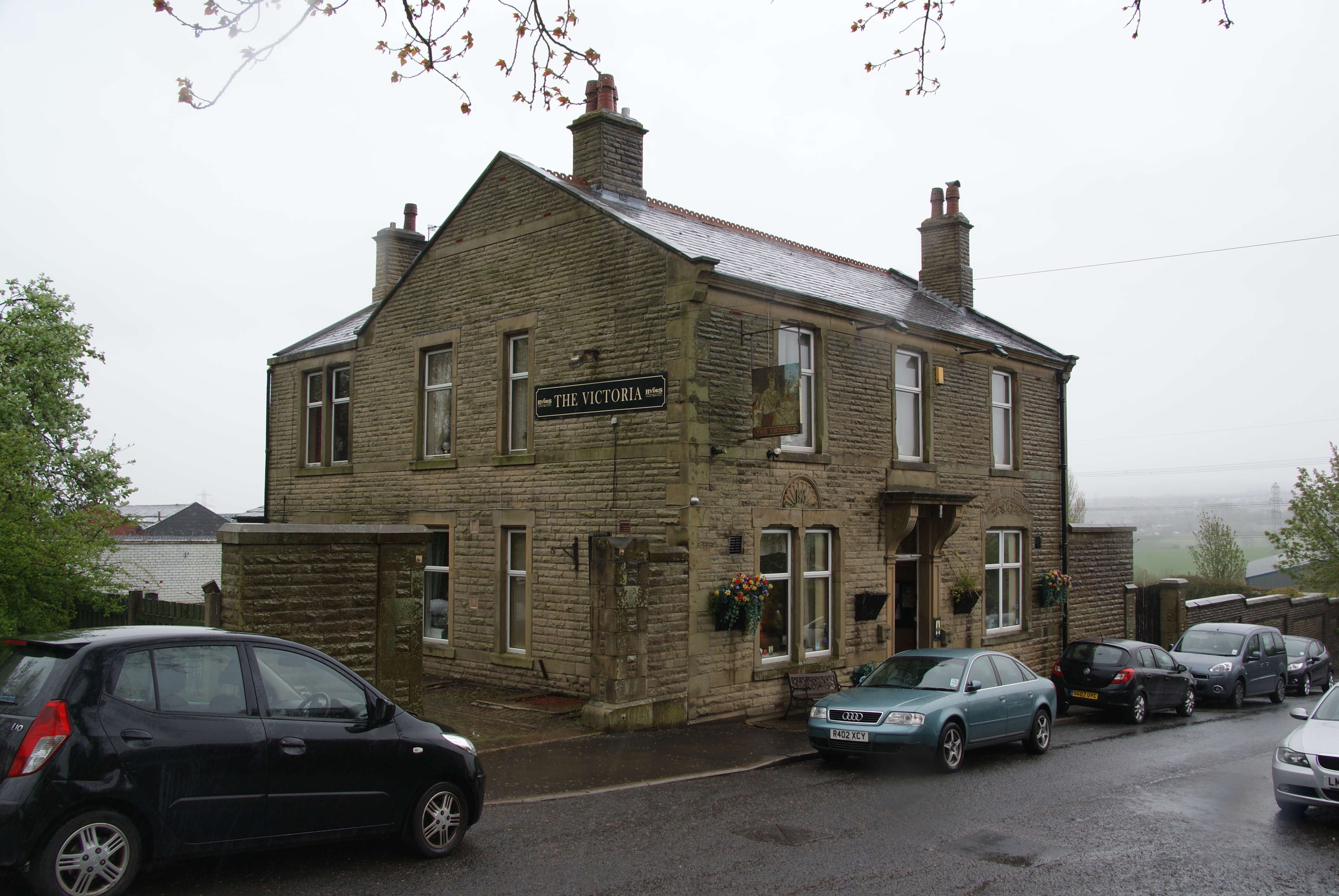
The Victoria, Great Harwood

The Victoria is a Grade II listed public house at St John's Street, Great Harwood, Blackburn, Lancashire BB6 7EP.It is on the Campaign for Real Ale's National...

St Bartholomew's Church, Great Harwood

St Bartholomew's Church is in the town of Great Harwood in Lancashire, England. It is an active Anglican parish church in the Diocese of Blackburn. The...

Tottleworth

Tottleworth is a small hamlet situated between Great Harwood and Rishton in Lancashire, England. It situated close to the confluence of Lidgett and Norden...

Great Harwood railway station

Great Harwood railway station was located in the south east side of Great Harwood, Lancashire, England on Station Road, which still remains. The station...

Oakenshaw, Lancashire

Oakenshaw is part of Clayton-le-Moors in Lancashire, England. Thomas de Clayton was the first grantee of Oakenshaw in the middle of the 11th-century. A...

Nearby Amenities

Located within 500m of 53.783618,-2.4112496
Mini Roundabout
Lat/Long: 53.7860401/-2.4079897
Police
Lat/Long: 53.7843572/-2.4072841
Pub
Duke of Wellington
Addr City: Blackburn
Addr Postcode: BB6 7DE
Addr Street: Blackburn Road
Addr Suburb: Great Harwood
Fhrs Id: 1246600
Source Addr: FHRS Open Data
Lat/Long: 53.785869/-2.4084992
Pub
Cross Axes
Addr City: Blackburn
Addr Housenumber: 7
Addr Postcode: BB6 7NF
Addr Street: Church Street
Addr Suburb: Great Harwood
Fhrs Id: 139858
Source Addr: FHRS Open Data
Lat/Long: 53.7862291/-2.4080485
Cafe
Cafe Latte
Addr City: Blackburn
Addr Housenumber: 53-55
Addr Postcode: BB6 7QP
Addr Street: Queen Street
Addr Suburb: Great Harwood
Fhrs Id: 111209
Source Addr: FHRS Open Data
Lat/Long: 53.7863341/-2.4055296
Pharmacy
Boots
Addr City: Blackburn
Addr Housenumber: 50
Addr Postcode: BB6 7QQ
Addr Street: Queen Street
Addr Suburb: Great Harwood
Brand: Boots
Brand Wikidata: Q6123139
Brand Wikipedia: en:Boots (company)
Fhrs Id: 92454
Healthcare: pharmacy
Operator: Boots
Source Addr: FHRS Open Data
Website: https://www.boots.com/stores/6221-great-harwood-bb6-7qq
Lat/Long: 53.7861828/-2.4052528
Pharmacy
E B Holden
Addr City: Blackburn
Addr Housenumber: 9-11
Addr Postcode: BB6 7QL
Addr Street: Queen Street
Addr Suburb: Great Harwood
Fhrs Id: 92299
Healthcare: pharmacy
Source Addr: FHRS Open Data
Lat/Long: 53.7862252/-2.407026
Fast Food
Mr Chipps
Addr City: Blackburn
Addr Housenumber: 14
Addr Postcode: BB6 7NF
Addr Street: Church Street
Addr Suburb: Great Harwood
Fhrs Id: 907921
Source Addr: FHRS Open Data
Lat/Long: 53.7863772/-2.4078056
Whiteheads
Addr City: Blackburn
Addr Housenumber: 73-75A
Addr Postcode: BB6 7DF
Addr Street: Blackburn Road
Addr Suburb: Great Harwood
Fhrs Id: 1010492
Shop: convenience
Source Addr: FHRS Open Data
Lat/Long: 53.7840864/-2.4089951
Pub
Lomax Arms
Lat/Long: 53.7839158/-2.4092665
Pub
The Victoria ( Butcher Brig)
Addr City: Blackburn
Addr Postcode: BB6 7EP
Addr Street: Saint Johns Street
Addr Suburb: Great Harwood
Fhrs Id: 98574
Source Addr: FHRS Open Data
Lat/Long: 53.7813314/-2.4050594
Post Box
Lat/Long: 53.7857954/-2.4072254
Barrier: bollard
Lat/Long: 53.7813878/-2.4096668
Nisa
Addr City: Blackburn
Addr Housenumber: 29
Addr Postcode: BB6 7DF
Addr Street: Blackburn Road
Addr Suburb: Great Harwood
Brand: Nisa
Brand Wikidata: Q16999069
Brand Wikipedia: en:Nisa (retailer)
Fhrs Id: 107111
Shop: convenience
Source Addr: FHRS Open Data
Lat/Long: 53.7851165/-2.4084989
Cafe
Towngate Cafe
Addr City: Blackburn
Addr Housenumber: 15-17
Addr Postcode: BB6 7DF
Addr Street: Blackburn Road
Addr Suburb: Great Harwood
Fhrs Id: 1097266
Historic: monument
Source Addr: FHRS Open Data
Lat/Long: 53.7852432/-2.4084372
Premier Store
Addr City: Blackburn
Addr Housenumber: 201
Addr Postcode: BB6 7ED
Addr Street: Saint Huberts Road
Addr Suburb: Great Harwood
Brand: Premier
Brand Wikidata: Q7240340
Brand Wikipedia: en:Premier Stores
Fhrs Id: 97950
Shop: convenience
Source Addr: FHRS Open Data
Website: https://www.premier-stores.co.uk/our-stores/premier-stores-3
Lat/Long: 53.7819497/-2.4087832
Ackys
Addr City: Blackburn
Addr Housenumber: 109-113
Addr Postcode: BB6 7AF
Addr Street: Saint Huberts Road
Addr Suburb: Great Harwood
Fhrs Id: 1097257
Shop: convenience
Source Addr: FHRS Open Data
Lat/Long: 53.783416/-2.4051554
Bus Stop
Public Transport: platform
Lat/Long: 53.7853822/-2.4087569
Bus Stop
Bus: yes
Public Transport: platform
Lat/Long: 53.7850398/-2.408729
Place Of Worship
Christian Fellowship
Religion: christian
Lat/Long: 53.7853824/-2.4096149
Barrier: bollard
Lat/Long: 53.7812601/-2.4080175
Fast Food
Pizza_Dome
Addr City: Blackburn
Addr Housenumber: 27
Addr Postcode: BB6 7DF
Addr Street: Blackburn Road
Addr Suburb: Great Harwood
Fhrs Id: 1010498
Source Addr: FHRS Open Data
Lat/Long: 53.7851925/-2.4084614
Fast Food
Toni's Pizza
Lat/Long: 53.7848986/-2.4086031
Fast Food
Wongs Chippy
Lat/Long: 53.7841387/-2.4092304
Disused Amenity: bank
Old Name: Lloyds Bank
Lat/Long: 53.7862443/-2.4067944
Bank
Barclays
Brand: Barclays
Brand Wikidata: Q245343
Brand Wikipedia: en:Barclays
Operator: Barclays Bank PLC
Lat/Long: 53.7859899/-2.4076078
Post Office
Great Harwood sub Post Office
Addr City: Blackburn
Addr Postcode: BB6 7HQ
Addr Street: Glebe Street
Addr Suburb: Great Harwood
Brand: Post Office
Brand Wikidata: Q1783168
Opening Hours: Mo-Sa 09:00-17:30
Ref Pol Id: 14627
Website: https://www.postoffice.co.uk/branch-finder/4064275/great-harwood
Lat/Long: 53.7856942/-2.4073631
Place Of Worship
Trinity Church
Denomination: methodist;united_reformed
Religion: christian
Lat/Long: 53.7851415/-2.410291
Mini Roundabout
Lat/Long: 53.7859176/-2.4082171
Mini Roundabout
Lat/Long: 53.7857847/-2.4115405
Pub
The Commercial
Addr City: Blackburn
Addr Housenumber: 62
Addr Postcode: BB6 7HX
Addr Street: Commercial Road
Addr Suburb: Great Harwood
Fhrs Id: 144974
Source Addr: FHRS Open Data
Lat/Long: 53.7857831/-2.4119677
Mini Roundabout
Lat/Long: 53.7862094/-2.4104676
Parking
Lat/Long: 53.7866484/-2.4083776
Pub
The Weavers Return
Building: yes
Lat/Long: 53.7843617/-2.4085029
Bus Stop
Bus: yes
Public Transport: platform
Lat/Long: 53.7830103/-2.4094377
Bus Stop
Bus: yes
Naptan AtcoCode: 250011816
Naptan NaptanCode: lanagpdm
Public Transport: platform
Lat/Long: 53.7820531/-2.4099455
Bus Stop
Public Transport: platform
Lat/Long: 53.7794894/-2.4104658
Bus Stop
Public Transport: platform
Lat/Long: 53.7794308/-2.4107931
Bus Stop
Naptan AtcoCode: 2500LA00389
Naptan NaptanCode: langptpg
Public Transport: platform
Lat/Long: 53.7805737/-2.4109895
Bus Stop
Naptan AtcoCode: 2500LA00390
Naptan NaptanCode: langptpj
Public Transport: platform
Lat/Long: 53.7806553/-2.4110231
Place Of Worship
Madressa Islamia Mosque
Religion: muslim
Lat/Long: 53.7839034/-2.4066493
Bus Stop
Public Transport: platform
Lat/Long: 53.7852151/-2.4122892
Bus Stop
Naptan AtcoCode: 2500LAA07222
Naptan NaptanCode: langwtpa
Public Transport: platform
Lat/Long: 53.784661/-2.4149189
Bus Stop
Naptan AtcoCode: 2500LAA07223
Naptan NaptanCode: langwtpd
Public Transport: platform
Lat/Long: 53.7847207/-2.4150357
Bus Stop
Public Transport: platform
Lat/Long: 53.7812468/-2.4140165
Bus Stop
Naptan AtcoCode: 2500LAA07224
Naptan NaptanCode: langwtpg
Public Transport: platform
Lat/Long: 53.7810693/-2.4140916
Bus Stop
Public Transport: platform
Lat/Long: 53.7851358/-2.4122731
Place Of Worship
Saint Wulstans
Denomination: catholic
Religion: christian
Lat/Long: 53.7836379/-2.410823
Cafe
Palatine
Lat/Long: 53.7859176/-2.407584
Bar
Baggys
Lat/Long: 53.7857829/-2.4074445
Pub
Snuffys
Lat/Long: 53.7855629/-2.4090041
Pub
The Tavern
Addr City: Blackburn
Addr Housenumber: 26-28
Addr Postcode: BB6 7NF
Addr Street: Church Street
Addr Suburb: Great Harwood
Fhrs Id: 580809
Source Addr: FHRS Open Data
Lat/Long: 53.7868064/-2.4075919
Restaurant
Kongs City
Lat/Long: 53.7866205/-2.4078742
Eddlestons
Shop: bakery
Lat/Long: 53.7853376/-2.4084144
Clock
Lat/Long: 53.7855952/-2.4081542
ET Birtwistle
Shop: funeral_directors
Lat/Long: 53.7862631/-2.4065662
Bench
Lat/Long: 53.7853482/-2.4086787
Bench
Lat/Long: 53.7853472/-2.408613
Pub
The Leisure Hour
Addr City: Blackburn
Addr Housenumber: 6-10
Addr Postcode: BB6 7DJ
Addr Street: Lomax Street
Addr Suburb: Great Harwood
Fhrs Id: 78875
Source Addr: FHRS Open Data
Lat/Long: 53.7836753/-2.4064672
National Food
Addr City: Blackburn
Addr Housenumber: 99
Addr Postcode: BB6 7DZ
Addr Street: Blackburn Road
Addr Suburb: Great Harwood
Fhrs Id: 107927
Shop: convenience
Source Addr: FHRS Open Data
Lat/Long: 53.7833649/-2.4092233
Great Wine
Addr City: Blackburn
Addr Housenumber: 125
Addr Postcode: BB6 7DZ
Addr Street: Blackburn Road
Addr Suburb: Great Harwood
Fhrs Id: 111561
Shop: convenience
Source Addr: FHRS Open Data
Lat/Long: 53.7831082/-2.4092917
Place Of Worship
Spiritualist Church
Religion: spiritualist
Lat/Long: 53.7852364/-2.4050224
Bus Stop
Bus: yes
Naptan AtcoCode: 2500IMG2309
Naptan NaptanCode: langapjw
Public Transport: platform
Lat/Long: 53.7862314/-2.4064729
Pub
The Walmesley Arms
Lat/Long: 53.7860745/-2.4066201
Post Box
Lat/Long: 53.7857812/-2.4072127
Post Box
Ref: BB6 44
Lat/Long: 53.782699/-2.4094339
Post Box
Ref: BB6 98
Lat/Long: 53.7831618/-2.4042917
Bus Stop
Public Transport: platform
Lat/Long: 53.7824979/-2.4156908
Great Harwood
Place: town
Population: 10800
Population Date: 2011
Source Population: wikipedia
Wikidata: Q2305059
Wikipedia: en:Great Harwood
Lat/Long: 53.7867282/-2.4067502
Centerpoint
Shop: hairdresser
Lat/Long: 53.7864613/-2.4077976
Silver Scissors
Shop: hairdresser
Lat/Long: 53.7865349/-2.4078984
Sirs
Shop: hairdresser
Lat/Long: 53.7828799/-2.4093802
Fast Food
Chicken Shop
Addr City: Blackburn
Addr Housenumber: 44
Addr Postcode: BB6 7QQ
Addr Street: Queen Street
Addr Suburb: Great Harwood
Fhrs Id: 92437
Shop: sandwich
Source Addr: FHRS Open Data
Lat/Long: 53.7861921/-2.4053466
J Metcalfe Butcher
Check Date: 2010-12-21
Shop: butcher
Lat/Long: 53.7861821/-2.4055966
Stylez
Shop: hairdresser
Lat/Long: 53.7840056/-2.4090219
Great Harwood plumbers Merchants
Shop: doityourself
Lat/Long: 53.7821462/-2.4083862
Post Box
Ref: BB6 177
Lat/Long: 53.7819969/-2.4154667
M and S News
Addr City: Blackburn
Addr Housenumber: 21
Addr Postcode: BB6 7DF
Addr Street: Blackburn Road
Addr Suburb: Great Harwood
Fhrs Id: 107029
Shop: newsagent
Source Addr: FHRS Open Data
Lat/Long: 53.7852734/-2.4084295
Techno World
Shop: doityourself
Lat/Long: 53.7848542/-2.4086168
Paul Nuttall
Shop: optician
Lat/Long: 53.784596/-2.4088008
Beaty Spot
Shop: beauty
Lat/Long: 53.7864921/-2.4079091
Hair by Sophie
Shop: hairdresser
Lat/Long: 53.7861326/-2.4080871
Elite Snooker
Club: snooker
Lat/Long: 53.7860611/-2.4082015
Post Box
Ref: BB6 107
Lat/Long: 53.7852715/-2.4119502
Studio 23
Shop: hairdresser
Lat/Long: 53.7829853/-2.4093413
Crackers
Shop: hairdresser
Lat/Long: 53.7856101/-2.4086416
Telephone
Booth: K6
Covered: booth
Listed Status: Grade II
Lat/Long: 53.7857734/-2.4084832
Fast Food
Cantonese Chef
Addr City: Blackburn
Addr Housenumber: 63
Addr Postcode: BB6 7DF
Addr Street: Blackburn Road
Addr Suburb: Great Harwood
Fhrs Id: 107491
Source Addr: FHRS Open Data
Lat/Long: 53.7843034/-2.4089014
Benny Charlesworths
Shop: gift
Lat/Long: 53.7845627/-2.4088169
Hot Tips
Shop: hairdresser
Lat/Long: 53.7849564/-2.4085794
Hairport
Shop: hairdresser
Lat/Long: 53.7850356/-2.4085499
Fast Food
Kebab Cottage
Lat/Long: 53.7856862/-2.4086121
Veterinary
Myerscoughs
Lat/Long: 53.7860818/-2.4070032
Fast Food
Chippy Bobs
Lat/Long: 53.7859905/-2.4067579
Shop: hairdresser
Lat/Long: 53.7855057/-2.406722
Hair Necessity
Shop: hairdresser
Lat/Long: 53.7834933/-2.4049737
Barbers
Shop: hairdresser
Lat/Long: 53.7833649/-2.4059011
Kelly Wards
Shop: hairdresser
Lat/Long: 53.7861948/-2.4054408
Gareths Florists
Check Date: 2010-12-21
Shop: florist
Lat/Long: 53.7863133/-2.4057684
Townsends Records
Shop: music
Lat/Long: 53.7861375/-2.4061165
Garden Gate
Shop: florist
Lat/Long: 53.7862615/-2.4061948
Zebraz
Shop: hairdresser
Lat/Long: 53.7862698/-2.4063659
Overheads
Shop: hairdresser
Lat/Long: 53.7863306/-2.4051742
Harlequin
Landuse: retail
Shop: gift
Lat/Long: 53.7863327/-2.4053338
Crossing
Crossing: traffic_signals
Crossing Ref: pelican
Kerb: lowered
Tactile Paving: yes
Lat/Long: 53.7837089/-2.4092266
Barrier: bollard
Lat/Long: 53.7856708/-2.4072079
Fast Food
Kims Fish Bar
Addr City: Blackburn
Addr Housenumber: 70
Addr Postcode: BB6 7AA
Addr Street: Glebe Street
Addr Suburb: Great Harwood
Fhrs Id: 861519
Source Addr: FHRS Open Data
Lat/Long: 53.7838983/-2.405587
Crossing
Crossing: uncontrolled
Crossing Ref: zebra
Kerb: lowered
Tactile Paving: yes
Lat/Long: 53.78608/-2.4075864
Crossing
Crossing: zebra
Kerb: lowered
Tactile Paving: yes
Lat/Long: 53.7857411/-2.4083553
Marlowe Crescent
Lat/Long: 53.7815756/-2.4145351
Bus Stop
Bus: yes
Naptan AtcoCode: 2500LAA00471
Naptan NaptanCode: langwgmw
Public Transport: platform
Lat/Long: 53.7855452/-2.4084331
Fast Food
Lat/Long: 53.7860326/-2.4082577
Bus Stop
Public Transport: platform
Lat/Long: 53.7824288/-2.4158634
The Finest Fudge Co
Contact Email: info@thefinestfudgeco.co.uk
Contact Facebook: https://www.facebook.com/FinestFudgeCo/
Contact Phone: +44 7869 746426
Contact Website: https://www.thefinestfudgeco.co.uk/
Opening Hours: Tu-Sa 10:00-17:00
Shop: confectionery
Lat/Long: 53.7863197/-2.4058606
The data included in this document is from www.openstreetmap.org. The data is made available under ODbL.

Have you been to Hindle Fold?

Leave your review of Hindle Fold below (or comments, questions and feedback).