Craig y Llan

Hill, Mountain in Caernarfonshire

Wales

Craig y Llan

Looking towards Garndolbenmaen from the summit of Graig-y-garn
Looking towards Garndolbenmaen from the summit of Graig-y-garn Credit: Meirion

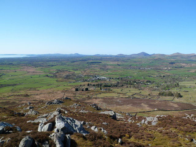
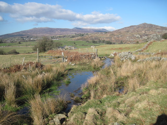
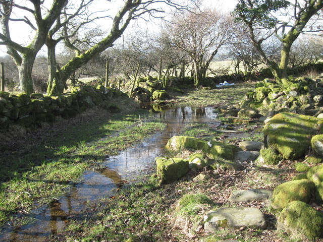
Craig y Llan is a prominent hill/mountain located in Caernarfonshire, Wales. It is situated in Snowdonia National Park, offering breathtaking panoramic views of the surrounding landscapes. With an elevation of approximately 623 meters (2,044 feet), it is a popular destination for hikers and nature enthusiasts.

The hill/mountain is characterized by its rugged and rocky terrain, with steep slopes and craggy outcrops. The ascent to the summit can be challenging, but the reward is well worth it. On a clear day, visitors are treated to stunning vistas of the Snowdonia mountain range, including the iconic Mount Snowdon itself.

Craig y Llan is known for its diverse flora and fauna. The lower slopes are covered with heather, grasses, and scattered trees, while the higher altitudes are home to alpine plants and mosses. The hill/mountain provides a habitat for various bird species, including the red kite, peregrine falcon, and buzzard.

Historically, Craig y Llan has been used as a quarrying site for slate. Remnants of the mining activities can still be seen, adding an interesting aspect to the natural beauty of the area.

Access to Craig y Llan is available through several well-marked hiking trails, offering different levels of difficulty. It is advisable to wear appropriate footwear and carry essentials such as water, snacks, and a map when venturing to the summit.

Overall, Craig y Llan is a stunning natural landmark within Snowdonia National Park, providing visitors with an opportunity to immerse themselves in the beauty of the Welsh countryside.

If you have any feedback on the listing, please let us know in the comments section below.
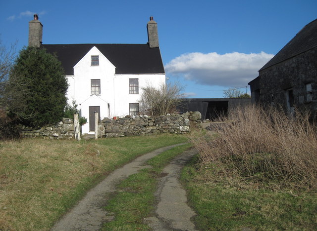
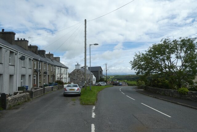
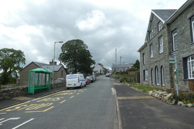
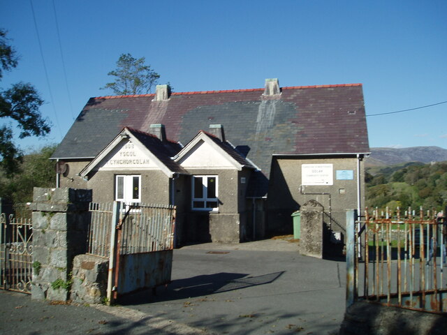
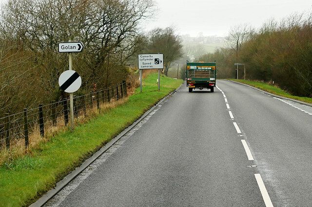
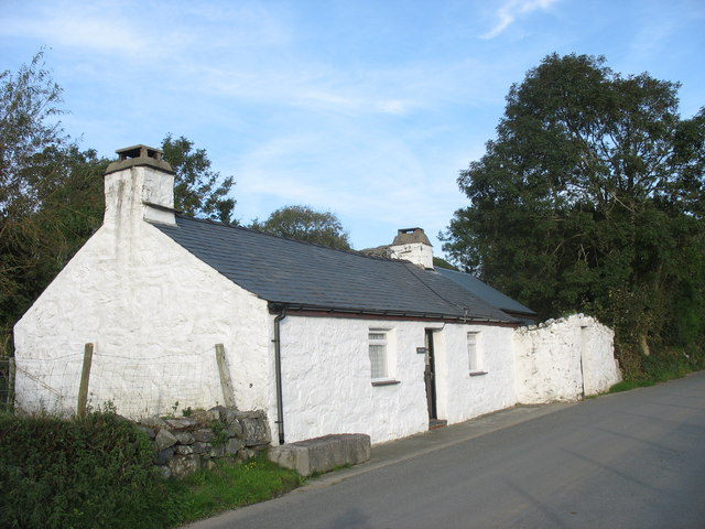
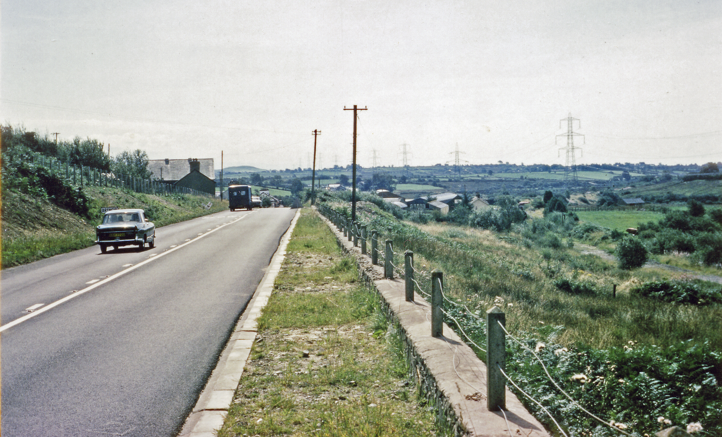
Craig y Llan Images

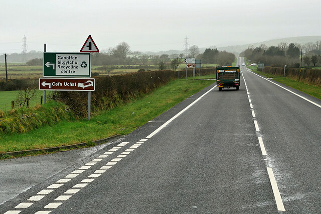
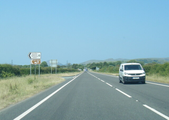
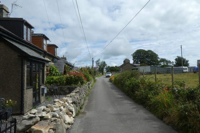
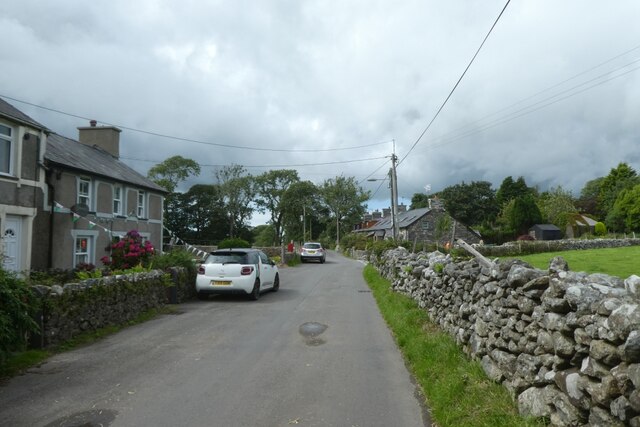
Images are sourced within 2km of 52.96767/-4.2212919 or Grid Reference SH5043. Thanks to Geograph Open Source API. All images are credited.

Looking towards Garndolbenmaen from the summit of Graig-y-garn
A487 at western Garndolbenmaen junction
Turning for Cross Foxes from A487
Field near Beudy Mawr farm Looking across the Afon Dwyfor.
Field near Beudy Mawr farm
Looking across the Afon Dwyfor.
Boggy track near Ystumcegid Farm
Ystumcegid Farm
Ystumcegid Farm
Boggy track near Ystum-cegid-ganol
Junction on A487
Junction on A487
A487 near Beudy Mawr The A487 is one of the most important roads in Wales. It covers the majority of the west coast from St Davids to Menai Bridge, and is a primary route for most of its length, including a section where it multiplexes with the A470, another important north-south road. Along the way, it runs through two national parks: Snowdonia and Pembrokeshire Coast. Despite its length and importance, it is predominantly single carriageway, although the road has been upgraded in numerous places. It is 174 miles long.
<span class="nowrap"><a title="http://www.sabre-roads.org.uk/wiki/index.php?title=A487" rel="nofollow ugc noopener" href="http://www.sabre-roads.org.uk/wiki/index.php?title=A487">Link</a><img style="margin-left:2px;" alt="External link" title="External link - shift click to open in new window" src="https://s1.geograph.org.uk/img/external.png" width="10" height="10"/></span>
A487 near Beudy Mawr
The A487 is one of the most important roads in Wales. It covers the majority of the west coast from St Davids to Menai Bridge, and is a primary route for most of its length, including a section where it multiplexes with the A470, another important north-south road. Along the way, it runs through two national parks: Snowdonia and Pembrokeshire Coast. Despite its length and importance, it is predominantly single carriageway, although the road has been upgraded in numerous places. It is 174 miles long. LinkExternal link
A487 south of Garndolbenmaen
Cottages north of Garndolbenmaen A minor road between the A487 and Garndolbenmaen.
Cottages north of Garndolbenmaen
A minor road between the A487 and Garndolbenmaen.
Mynydd-glâs A minor road between the A487 and Garndolbenmaen.
Mynydd-glâs
A minor road between the A487 and Garndolbenmaen.
Street in Garndolbenmaen A minor road heading south from Garndolbenmaen to the A487.
Street in Garndolbenmaen
A minor road heading south from Garndolbenmaen to the A487.
Bus stops in Garndolbenmaen Looking towards the centre of the village.
Bus stops in Garndolbenmaen
Looking towards the centre of the village.
Golan Community Centre
Dolbenmaen, Gwynedd Pasture land in the vicinity of Dolbenmaen, the peak of Craig-y-garn can be seen in the distance.
Dolbenmaen, Gwynedd
Pasture land in the vicinity of Dolbenmaen, the peak of Craig-y-garn can be seen in the distance.
A487 near Golan The A487 is one of the most important roads in Wales. It covers the majority of the west coast from St Davids to Menai Bridge, and is a primary route for most of its length, including a section where it multiplexes with the A470, another important north-south road. Along the way, it runs through two national parks: Snowdonia and Pembrokeshire Coast. Despite its length and importance, it is predominantly single carriageway, although the road has been upgraded in numerous places. It is 174 miles long.
<span class="nowrap"><a title="http://www.sabre-roads.org.uk/wiki/index.php?title=A487" rel="nofollow ugc noopener" href="http://www.sabre-roads.org.uk/wiki/index.php?title=A487">Link</a><img style="margin-left:2px;" alt="External link" title="External link - shift click to open in new window" src="https://s1.geograph.org.uk/img/external.png" width="10" height="10"/></span>
A487 near Golan
The A487 is one of the most important roads in Wales. It covers the majority of the west coast from St Davids to Menai Bridge, and is a primary route for most of its length, including a section where it multiplexes with the A470, another important north-south road. Along the way, it runs through two national parks: Snowdonia and Pembrokeshire Coast. Despite its length and importance, it is predominantly single carriageway, although the road has been upgraded in numerous places. It is 174 miles long. LinkExternal link
A487 Dolbenmaen The A487 is one of the most important roads in Wales. It covers the majority of the west coast from St Davids to Menai Bridge, and is a primary route for most of its length, including a section where it multiplexes with the A470, another important north-south road. Along the way, it runs through two national parks: Snowdonia and Pembrokeshire Coast. Despite its length and importance, it is predominantly single carriageway, although the road has been upgraded in numerous places. It is 174 miles long.
<span class="nowrap"><a title="http://www.sabre-roads.org.uk/wiki/index.php?title=A487" rel="nofollow ugc noopener" href="http://www.sabre-roads.org.uk/wiki/index.php?title=A487">Link</a><img style="margin-left:2px;" alt="External link" title="External link - shift click to open in new window" src="https://s1.geograph.org.uk/img/external.png" width="10" height="10"/></span>
A487 Dolbenmaen
The A487 is one of the most important roads in Wales. It covers the majority of the west coast from St Davids to Menai Bridge, and is a primary route for most of its length, including a section where it multiplexes with the A470, another important north-south road. Along the way, it runs through two national parks: Snowdonia and Pembrokeshire Coast. Despite its length and importance, it is predominantly single carriageway, although the road has been upgraded in numerous places. It is 174 miles long. LinkExternal link
Show me another place!

Craig y Llan is located at Grid Ref: SH5043 (Lat: 52.96767, Lng: -4.2212919)

Unitary Authority: Gwynedd

Police Authority: North Wales

What 3 Words

///lecturing.thickened.recently. Near Criccieth, Gwynedd

Related Wikis

Dolbenmaen

Dolbenmaen () is a village and community in the Welsh county of Gwynedd, located in Eifionydd, of which it was the administrative centre until 1239. The...

Cwm Pennant Fault

The Cwm Pennant Fault is a SSW-NNE trending normal fault system in North Wales. It forms part of the structures that bound the Snowdon graben. The main...

Garndolbenmaen

Garndolbenmaen, known colloquially as Garn, is a village in the county of Gwynedd, Wales. It lies near the A487, approximately 6 miles (10 km) north west...

Llanfihangel-y-Pennant, Dolbenmaen

See also Llanfihangel (disambiguation).Llanfihangel-y-Pennant is a small village in Gwynedd, Wales. It is in the community of Dolbenmaen in Snowdonia...

Lôn Las Menai

Lôn Las Menai is part of Lôn Las Cymru, the Welsh National Cycle Route, which is about 400 km (250 mi) long. Lôn Las Menai is the section which runs for...

Brynkir railway station

Brynkir railway station was opened by the Carnarvonshire Railway on the western edge of the village of Bryncir, Gwynedd, Wales. The station was not heavily...

Pen Llystyn

Pen Llystyn, sometimes referred to as Pen Llys Tyn, was a Roman fort located to the north of Bryncir, between Porthmadog and Caernarfon in Gwynedd, north...

St Beuno's Church, Penmorfa

St Beuno's Church, Penmorfa, is a redundant church near the settlement of Penmorfa, some 2 miles (3 km) to the northwest of Porthmadog, Gwynedd, Wales...

Nearby Amenities

Located within 500m of 52.96767,-4.2212919
Post Box
Operator: Royal Mail
Lat/Long: 52.9646462/-4.2263028
Castell Caerau
Historic: ruins
Historic Civilization: iron-age
Ruins: hillfort
Lat/Long: 52.9717532/-4.2219009
Dolbenmaen
Place: village
Lat/Long: 52.9656987/-4.2261866
Dolbenmaen Motte
Historic: archaeological_site
Historic 1: castle
Ruins: yes
Lat/Long: 52.9641469/-4.2251943
Direction: SSE
Generator Method: photovoltaic
Generator Output Electricity: yes
Generator Solar Modules: 16
Generator Source: solar
Generator Type: solar_photovoltaic_panel
Location: roof
Power: generator
Lat/Long: 52.9672063/-4.2164353
Direction: 190
Generator Method: photovoltaic
Generator Output Electricity: yes
Generator Solar Modules: 15
Generator Source: solar
Generator Type: solar_photovoltaic_panel
Location: roof
Power: generator
Lat/Long: 52.9650763/-4.2249667
The data included in this document is from www.openstreetmap.org. The data is made available under ODbL.

Have you been to Craig y Llan?

Leave your review of Craig y Llan below (or comments, questions and feedback).