Byreside Hill
Hill, Mountain in Renfrewshire
Scotland
Byreside Hill

Byreside Hill is a prominent hill located in the county of Renfrewshire, Scotland. Standing at an elevation of approximately 210 meters (689 feet), it is considered a significant landmark in the area. The hill is situated near the small village of Howwood, just a few miles southwest of the town of Paisley.
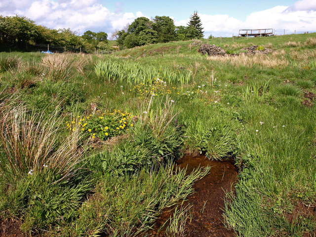
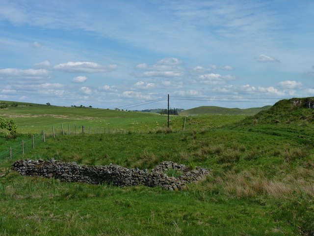
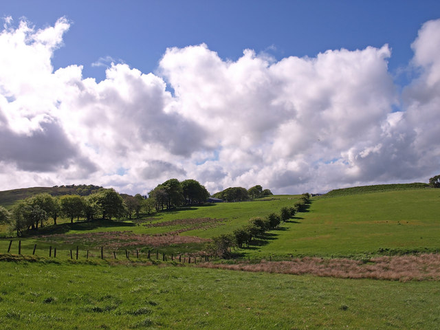
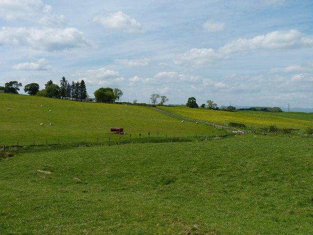
The landscape surrounding Byreside Hill is characterized by rolling green fields and dense forests, creating a picturesque backdrop for outdoor enthusiasts. The hill itself is covered in a mix of grass and heather, lending it a vibrant and colorful appearance, especially during the summer months.
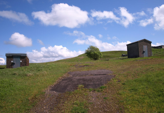
Hikers and nature lovers are drawn to Byreside Hill due to its easily accessible trails and breathtaking panoramic views from the summit. On a clear day, visitors can enjoy vistas of the surrounding countryside, including the nearby Clyde Muirshiel Regional Park and the picturesque Lochwinnoch.
The area around Byreside Hill is rich in wildlife, with various bird species, including buzzards and kestrels, frequently spotted soaring above. Additionally, the hill is home to a diverse range of plant life, including wildflowers, mosses, and ferns, adding to its natural beauty.
Overall, Byreside Hill offers both recreational opportunities and a chance to immerse oneself in the stunning Scottish countryside. Whether it be for a leisurely walk, a challenging hike, or simply to enjoy the tranquility of nature, this hill is a must-visit destination for outdoor enthusiasts and those seeking a peaceful retreat.
If you have any feedback on the listing, please let us know in the comments section below.
Byreside Hill Images
Images are sourced within 2km of 55.741901/-4.3762805 or Grid Reference NS5052. Thanks to Geograph Open Source API. All images are credited.


Byreside Hill is located at Grid Ref: NS5052 (Lat: 55.741901, Lng: -4.3762805)
Unitary Authority: East Renfrewshire
Police Authority: Greater Glasgow
What 3 Words
///revisit.recliner.gasp. Near Newton Mearns, East Renfrewshire
Nearby Locations
Related Wikis

Netherplace
Netherplace is a hamlet in East Renfrewshire. It is to the west of Newton Mearns, and adjacent to the M77 motorway. The settlement is almost entirely along...

Newton Mearns
Newton Mearns (Scots: The Mearns; Scottish Gaelic: Baile Ùr na Maoirne [ˈpalə ˈuːɾ nə ˈmɯːrˠɲə]) is a suburban town and the largest settlement in East...

Neilston Pad
Neilston Pad, referred to locally as The Pad, is a distinctive hill in East Renfrewshire, situated a mile (1.5 km) south of the village of Neilston. Its...
Whitecraigs RFC
Whitecraigs Rugby Football Club is a rugby union club based in Newton Mearns, East Renfrewshire, Scotland. The team competes in Scottish National League...
Nearby Amenities
Located within 500m of 55.741901,-4.3762805Have you been to Byreside Hill?
Leave your review of Byreside Hill below (or comments, questions and feedback).