Brother Loch
Lake, Pool, Pond, Freshwater Marsh in Renfrewshire
Scotland
Brother Loch
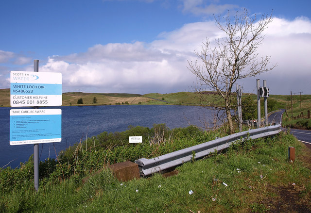
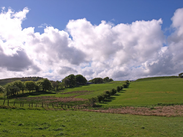
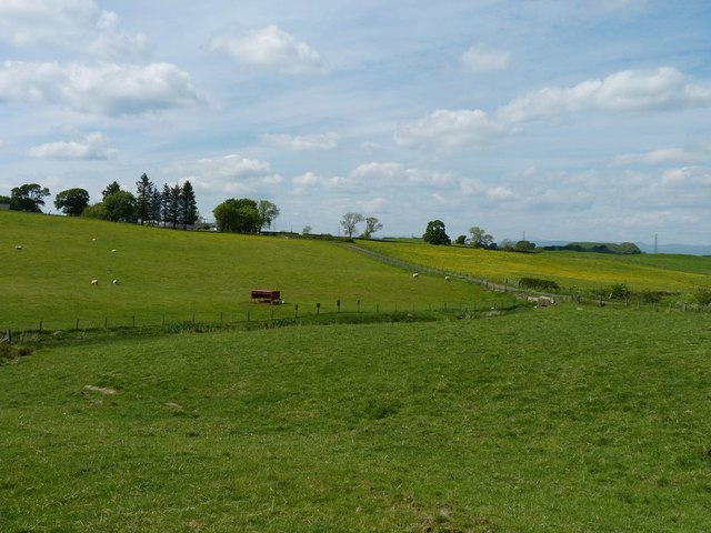
Brother Loch is a picturesque freshwater marsh located in Renfrewshire, Scotland. Spanning an area of approximately 50 acres, it is a prominent feature of the local landscape and offers a tranquil retreat for nature enthusiasts. The loch is situated within a designated nature reserve, which further enhances its ecological significance.
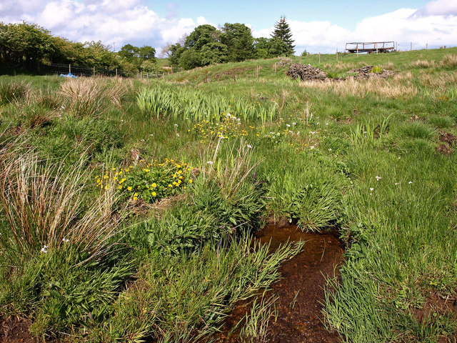
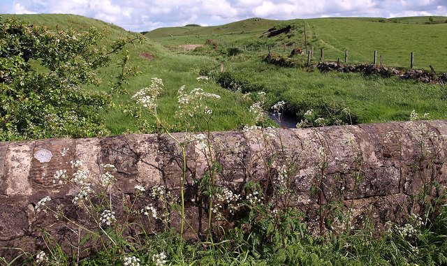
The loch itself is a shallow body of water, characterized by its calm and reflective surface. It is fed by various small streams and springs, ensuring a constant supply of freshwater. Surrounded by lush vegetation, including reeds, grasses, and willow trees, the loch provides a diverse habitat for a wide range of plant and animal species.
The diverse avian population is one of the key attractions of Brother Loch. The area serves as a nesting ground for several waterfowl species, such as swans, ducks, and geese. These birds can often be seen gracefully gliding across the water or taking flight from its surface. Birdwatchers are particularly drawn to the loch during the breeding season, as it offers excellent opportunities for observation and photography.
In addition to its avian residents, Brother Loch is also home to various fish species, including pike, perch, and roach. Anglers frequent the loch to indulge in fishing, appreciating the peaceful ambiance that surrounds them.
Brother Loch is a cherished natural gem in Renfrewshire, providing a haven for wildlife and a serene escape for visitors. Its tranquil waters, abundant flora and fauna, and captivating scenery make it a popular destination for nature lovers seeking a respite from the bustle of everyday life.
If you have any feedback on the listing, please let us know in the comments section below.
Brother Loch Images
Images are sourced within 2km of 55.745292/-4.3812509 or Grid Reference NS5052. Thanks to Geograph Open Source API. All images are credited.


Brother Loch is located at Grid Ref: NS5052 (Lat: 55.745292, Lng: -4.3812509)
Unitary Authority: East Renfrewshire
Police Authority: Greater Glasgow
What 3 Words
///swims.disposing.spices. Near Newton Mearns, East Renfrewshire
Nearby Locations
Related Wikis

Netherplace
Netherplace is a hamlet in East Renfrewshire. It is to the west of Newton Mearns, and adjacent to the M77 motorway. The settlement is almost entirely along...

Neilston Pad
Neilston Pad, referred to locally as The Pad, is a distinctive hill in East Renfrewshire, situated a mile (1.5 km) south of the village of Neilston. Its...
Whitecraigs RFC
Whitecraigs Rugby Football Club is a rugby union club based in Newton Mearns, East Renfrewshire, Scotland. The team competes in Scottish National League...

Craighall Reservoir
Craighall Reservoir, known locally as Craighall Dam, is one of a number of small reservoirs, situated around Neilston in East Renfrewshire, Scotland. The...
Nearby Amenities
Located within 500m of 55.745292,-4.3812509Have you been to Brother Loch?
Leave your review of Brother Loch below (or comments, questions and feedback).