Castell Caerau

Heritage Site in Caernarfonshire

Wales

Castell Caerau

Looking towards Garndolbenmaen from the summit of Graig-y-garn
Looking towards Garndolbenmaen from the summit of Graig-y-garn Credit: Meirion

Castell Caerau, located in Caernarfonshire, is a significant heritage site in Wales. This medieval castle sits atop a hill, providing a commanding view of the surrounding area. The castle was constructed in the 13th century by the Welsh prince Llywelyn ap Gruffudd as a strategic stronghold against English invasions.

The castle consists of a stone keep, surrounded by a curtain wall with several towers. The keep itself is a rectangular structure, with thick walls and small windows, indicating its defensive purpose. The curtain wall is punctuated by four circular towers, each offering additional defensive capabilities. The entrance to the castle is through a sturdy gatehouse, adorned with defensive features such as murder holes and a portcullis.

Over the centuries, Castell Caerau has witnessed various battles and sieges as power struggles between the Welsh and English played out. During the English Civil War, the castle was partially destroyed, and it fell into ruin. Today, the castle stands as an imposing ruin, with remnants of its former glory visible in its architectural details.

Castell Caerau is now a popular tourist destination, attracting history enthusiasts and visitors interested in the rich heritage of Wales. The castle's location provides picturesque views of the surrounding countryside and offers visitors a glimpse into the turbulent past of this region. The ruins are accessible to the public, with pathways and information boards providing historical context and insights into the castle's significance.

If you have any feedback on the listing, please let us know in the comments section below.

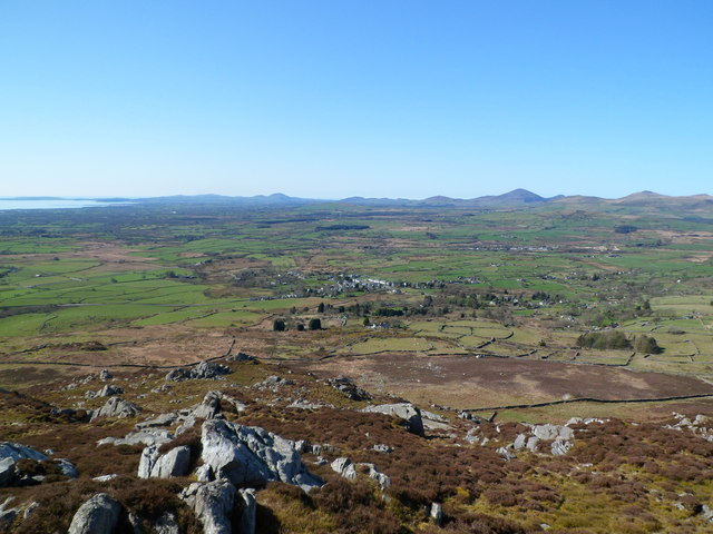
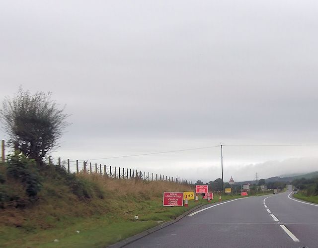
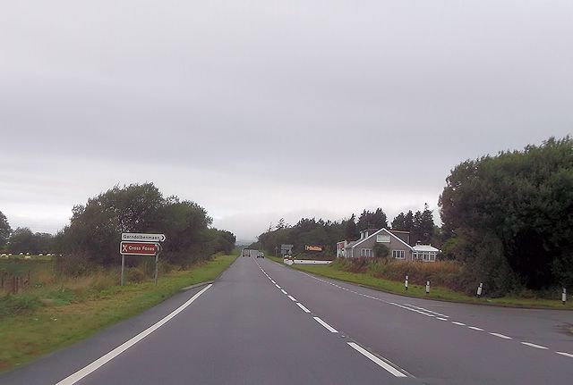
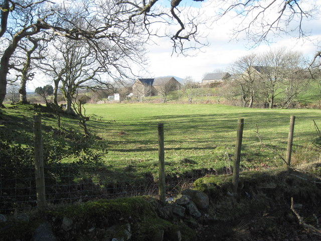
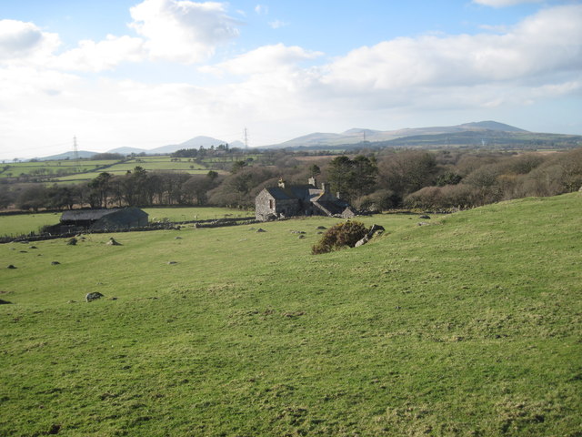
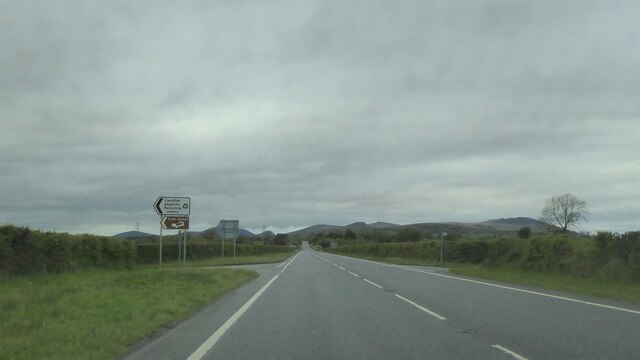
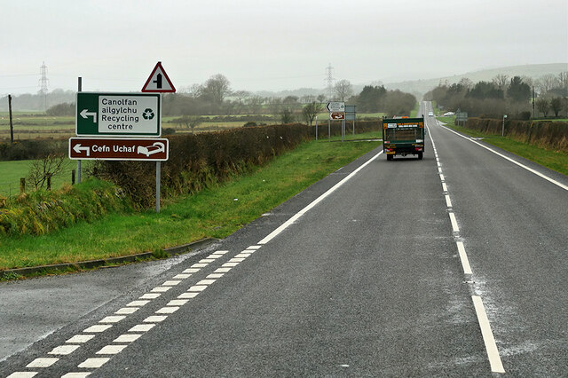
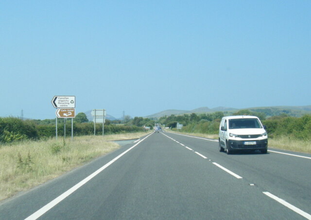
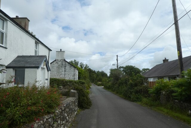
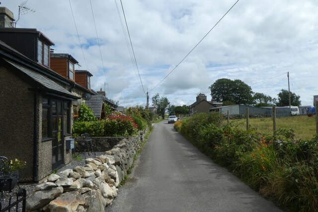
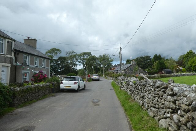
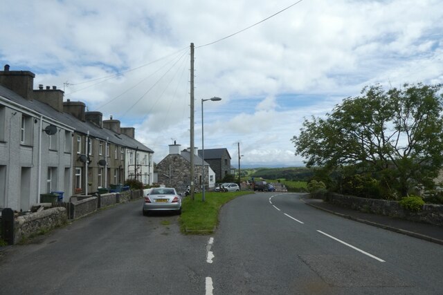
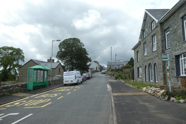
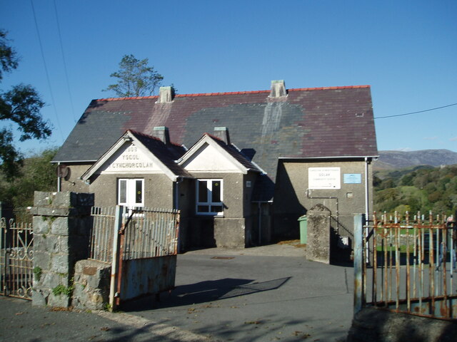
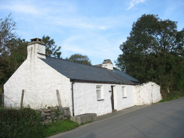
Castell Caerau Images

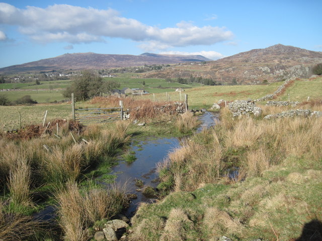
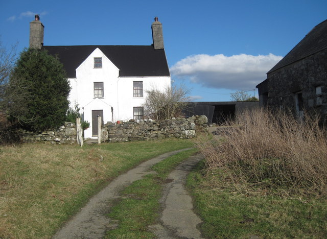
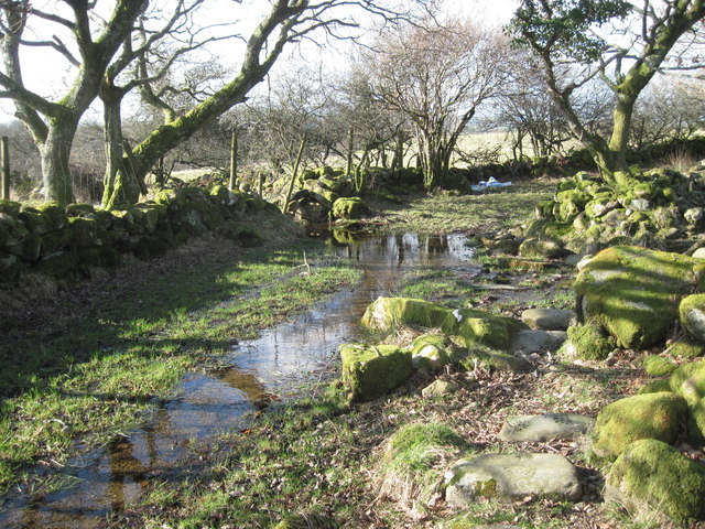
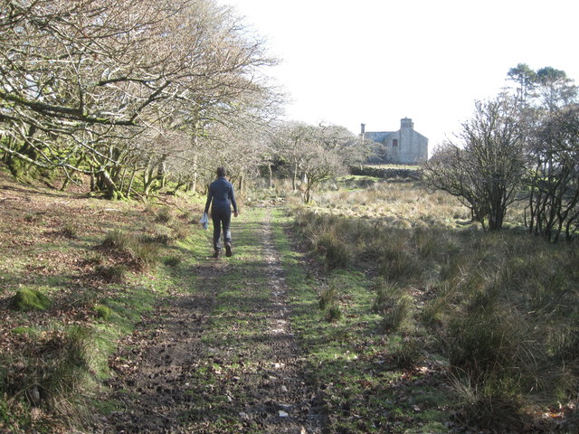
Images are sourced within 2km of 52.967/-4.227 or Grid Reference SH5043. Thanks to Geograph Open Source API. All images are credited.

Looking towards Garndolbenmaen from the summit of Graig-y-garn
A487 at western Garndolbenmaen junction
Turning for Cross Foxes from A487
Field near Beudy Mawr farm Looking across the Afon Dwyfor.
Field near Beudy Mawr farm
Looking across the Afon Dwyfor.
Boggy track near Ystumcegid Farm
Ystumcegid Farm
Ystumcegid Farm
Boggy track near Ystum-cegid-ganol
The track to Ystum-cegid-ganol
Field near Ystum-cegid-ganol
Junction on A487
Junction on A487
A487 near Beudy Mawr The A487 is one of the most important roads in Wales. It covers the majority of the west coast from St Davids to Menai Bridge, and is a primary route for most of its length, including a section where it multiplexes with the A470, another important north-south road. Along the way, it runs through two national parks: Snowdonia and Pembrokeshire Coast. Despite its length and importance, it is predominantly single carriageway, although the road has been upgraded in numerous places. It is 174 miles long.
<span class="nowrap"><a title="http://www.sabre-roads.org.uk/wiki/index.php?title=A487" rel="nofollow ugc noopener" href="http://www.sabre-roads.org.uk/wiki/index.php?title=A487">Link</a><img style="margin-left:2px;" alt="External link" title="External link - shift click to open in new window" src="https://s1.geograph.org.uk/img/external.png" width="10" height="10"/></span>
A487 near Beudy Mawr
The A487 is one of the most important roads in Wales. It covers the majority of the west coast from St Davids to Menai Bridge, and is a primary route for most of its length, including a section where it multiplexes with the A470, another important north-south road. Along the way, it runs through two national parks: Snowdonia and Pembrokeshire Coast. Despite its length and importance, it is predominantly single carriageway, although the road has been upgraded in numerous places. It is 174 miles long. LinkExternal link
A487 south of Garndolbenmaen
Lane passing Glasfryn A minor road between the A487 and Garndolbenmaen.
Lane passing Glasfryn
A minor road between the A487 and Garndolbenmaen.
Cottages north of Garndolbenmaen A minor road between the A487 and Garndolbenmaen.
Cottages north of Garndolbenmaen
A minor road between the A487 and Garndolbenmaen.
Mynydd-glâs A minor road between the A487 and Garndolbenmaen.
Mynydd-glâs
A minor road between the A487 and Garndolbenmaen.
Street in Garndolbenmaen A minor road heading south from Garndolbenmaen to the A487.
Street in Garndolbenmaen
A minor road heading south from Garndolbenmaen to the A487.
Bus stops in Garndolbenmaen Looking towards the centre of the village.
Bus stops in Garndolbenmaen
Looking towards the centre of the village.
Golan Community Centre
Show me another place!

Castell Caerau is located at Grid Ref: SH5043 (Lat: 52.967, Lng: -4.227)

Unitary Authority: Gwynedd

Police Authority: North Wales

What 3 Words

///survived.scarf.composts. Near Criccieth, Gwynedd

Related Wikis

Dolbenmaen

Dolbenmaen () is a village and community in the Welsh county of Gwynedd, located in Eifionydd, of which it was the administrative centre until 1239. The...

Garndolbenmaen

Garndolbenmaen, known colloquially as Garn, is a village in the county of Gwynedd, Wales. It lies near the A487, approximately 6 miles (10 km) north west...

Cwm Pennant Fault

The Cwm Pennant Fault is a SSW-NNE trending normal fault system in North Wales. It forms part of the structures that bound the Snowdon graben. The main...

Llanfihangel-y-Pennant, Dolbenmaen

See also Llanfihangel (disambiguation).Llanfihangel-y-Pennant is a small village in Gwynedd, Wales. It is in the community of Dolbenmaen in Snowdonia...

Nearby Amenities

Located within 500m of 52.967,-4.227
Post Box
Operator: Royal Mail
Lat/Long: 52.9646462/-4.2263028
Dolbenmaen
Place: village
Lat/Long: 52.9656987/-4.2261866
Dolbenmaen Motte
Historic: archaeological_site
Historic 1: castle
Ruins: yes
Lat/Long: 52.9641469/-4.2251943
Shelter
Shelter Type: public_transport
Lat/Long: 52.9645513/-4.2276797
Direction: 190
Generator Method: photovoltaic
Generator Output Electricity: yes
Generator Solar Modules: 15
Generator Source: solar
Generator Type: solar_photovoltaic_panel
Location: roof
Power: generator
Lat/Long: 52.9650763/-4.2249667
The data included in this document is from www.openstreetmap.org. The data is made available under ODbL.

Have you been to Castell Caerau?

Leave your review of Castell Caerau below (or comments, questions and feedback).