Auchineden Hill
Hill, Mountain in Stirlingshire
Scotland
Auchineden Hill
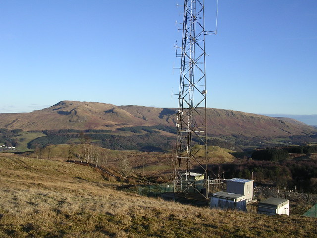
Auchineden Hill is a prominent hill located in Stirlingshire, Scotland. Rising to an elevation of 357 meters (1,171 feet), it is considered one of the most notable hills in the region. It forms part of the Campsie Fells, a range of hills situated to the north of the city of Glasgow.
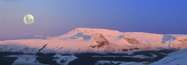
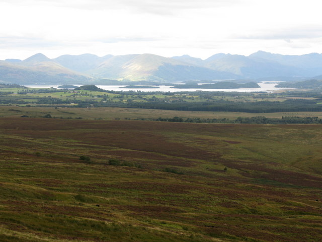
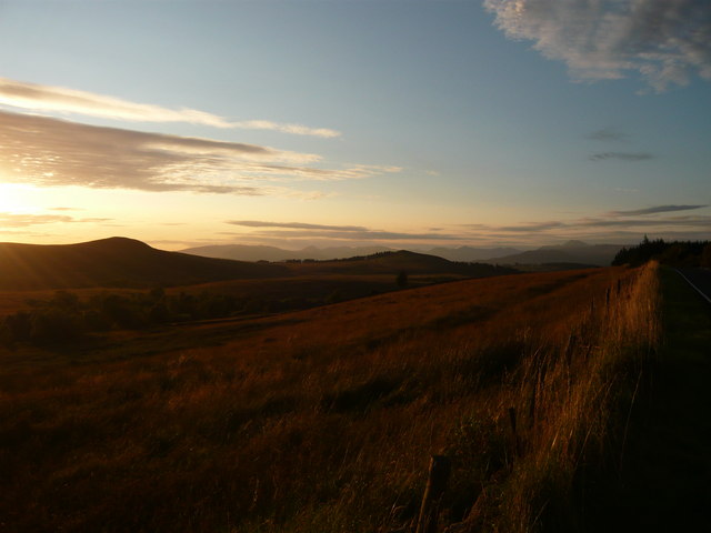
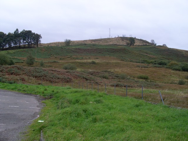
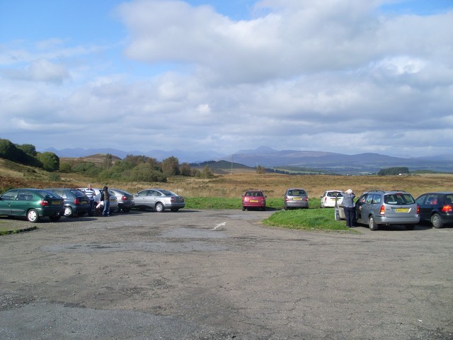
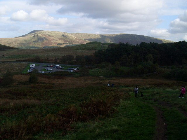
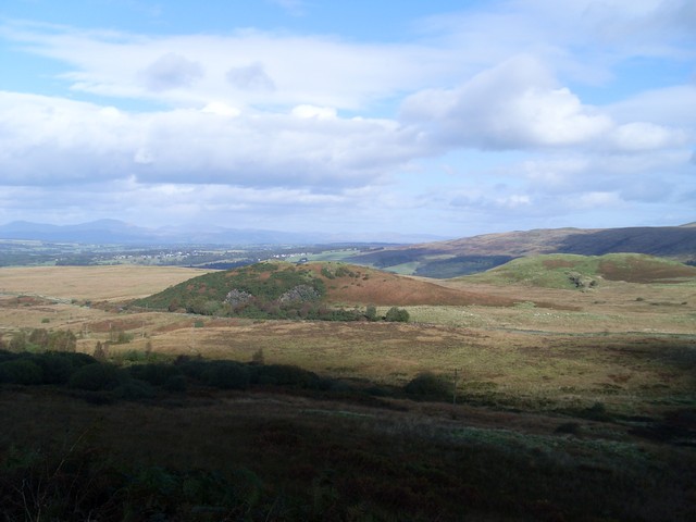
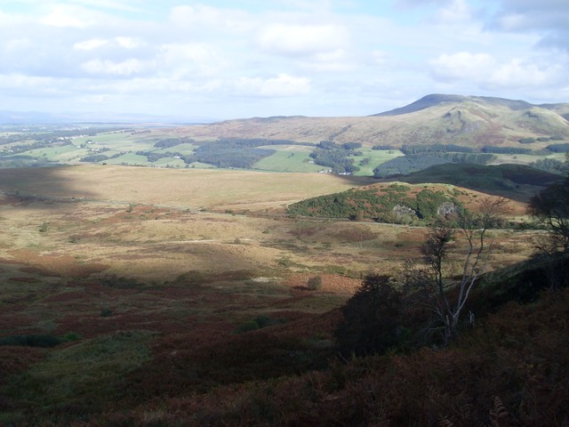
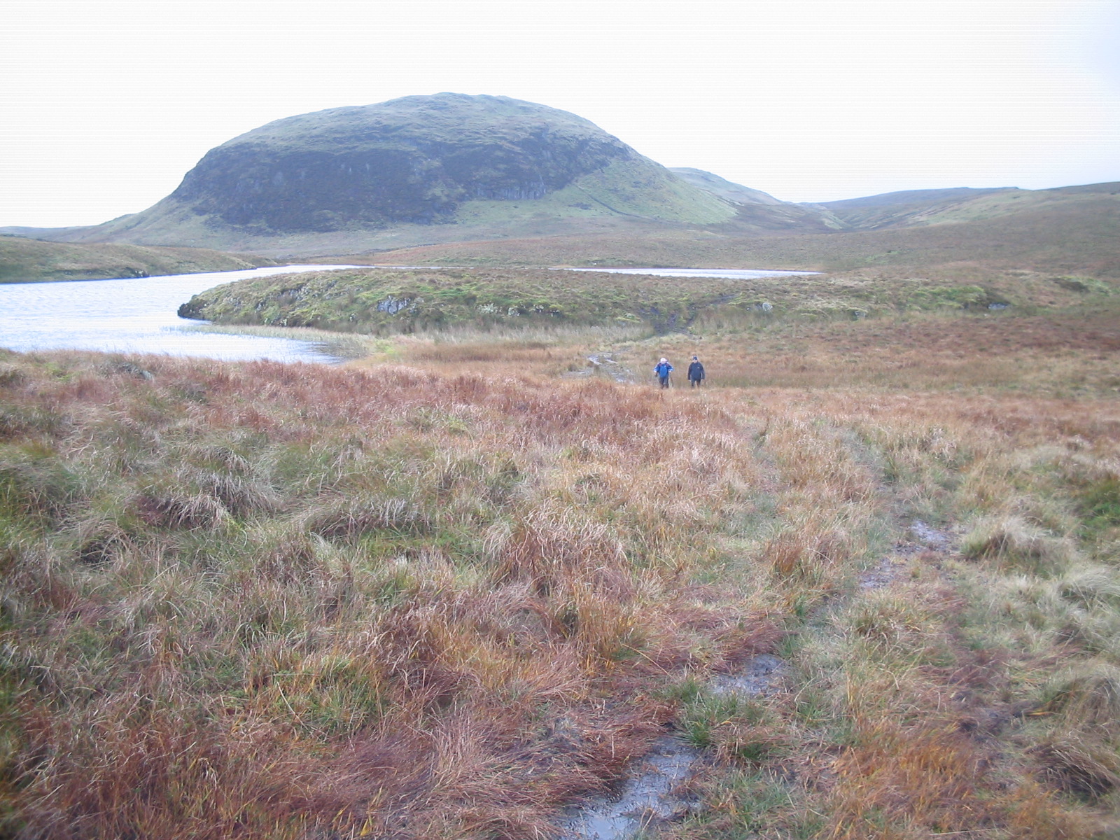
The hill is characterized by its distinct conical shape and is covered in heather and grass, offering a picturesque landscape to visitors. Auchineden Hill is a popular destination for hikers and outdoor enthusiasts, as it provides breathtaking panoramic views of the surrounding countryside, including Loch Lomond and the Trossachs National Park.
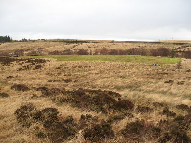
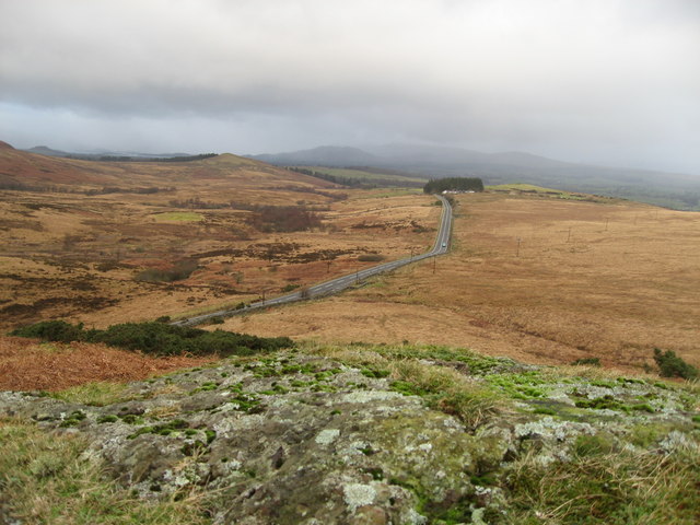
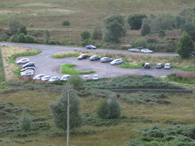
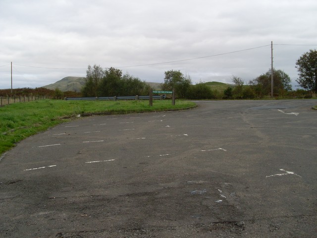
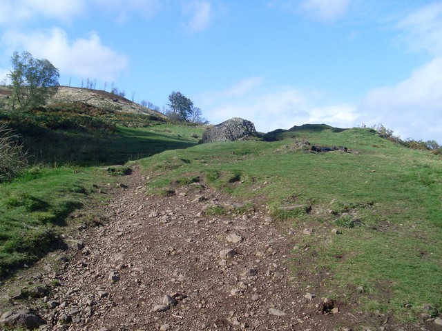
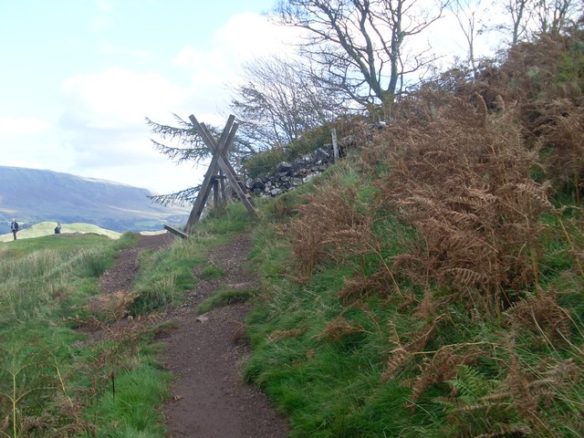
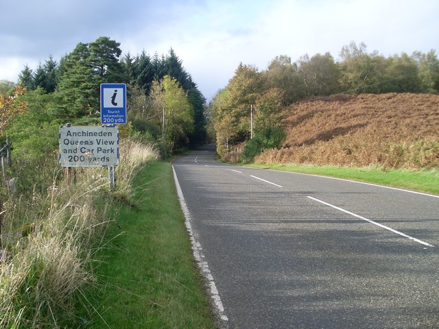
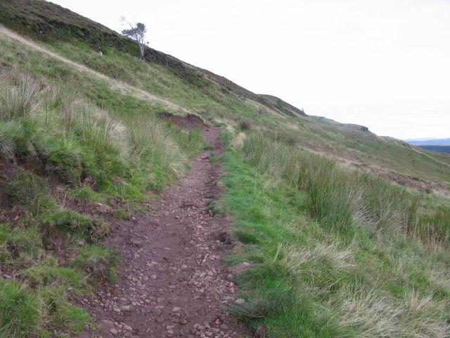
The hill is easily accessible, with a well-defined footpath leading to its summit. Along the way, hikers can enjoy the abundance of wildlife that inhabits the area, including deer, birds, and various plant species. The trail passes through a mixture of open moorland, woodland, and rocky outcrops, adding to the diversity of the experience.
Once at the summit, the effort is rewarded with stunning vistas of the surrounding area. On a clear day, it is possible to see as far as Ben Lomond, the highest mountain in the southern part of the Scottish Highlands. The hill's summit is marked by a trig point, allowing visitors to appreciate the exact elevation they have reached.
Overall, Auchineden Hill stands as a captivating natural landmark in Stirlingshire, attracting both locals and tourists alike with its scenic beauty and panoramic views.
If you have any feedback on the listing, please let us know in the comments section below.
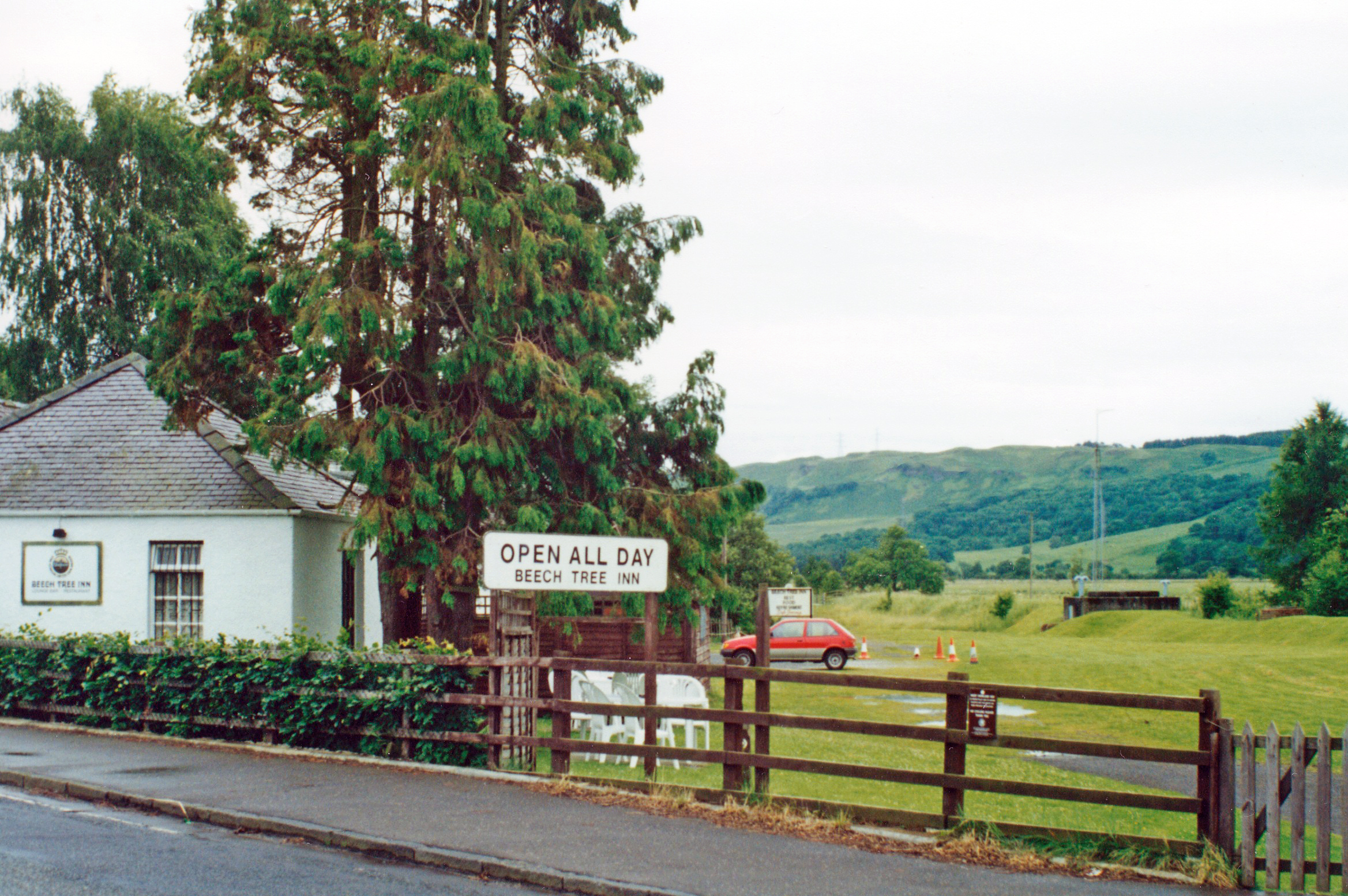
Auchineden Hill Images
Images are sourced within 2km of 55.993315/-4.4160009 or Grid Reference NS4980. Thanks to Geograph Open Source API. All images are credited.
Auchineden Hill is located at Grid Ref: NS4980 (Lat: 55.993315, Lng: -4.4160009)
Unitary Authority: Stirling
Police Authority: Forth Valley
What 3 Words
///expectant.genius.fiction. Near Killearn, Stirling
Nearby Locations
Related Wikis
Kilpatrick Hills
The Kilpatrick Hills are a range of hills in central Scotland, stretching from Dumbarton in the west to Strathblane in the east. Strathblane divides the...
Carbeth
Carbeth is a hamlet in Stirlingshire, 2.5 miles (4 km) west of Strathblane and 5.5 miles (9 km) north of Clydebank. Named features include Carbeth Hill...

Duncolm
Duncolm (Scottish Gaelic: Dùn Choluim) is a hill in Scotland. It is the highest point in both West Dunbartonshire and the Kilpatrick Hills, at an elevation...

Clydebank (district)
Clydebank (Scottish Gaelic: Bruach Chluaidh) was, from 1975 to 1996, one of nineteen local government districts in the Strathclyde region of Scotland,...

Glengoyne distillery
Glengoyne distillery is a whisky distillery continuously in operation since its founding in 1833 at Dumgoyne, north of Glasgow, Scotland. Glengoyne is...
Dumgoyne railway station
Dumgoyne railway station served the village of Killearn, Stirling, Scotland from 1867 to 1951 on the Blane Valley Railway. == History == The station was...
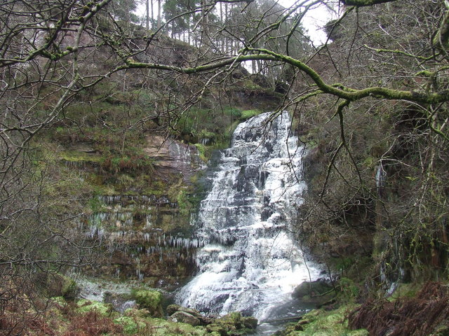
Ishneich
Ishneich is a waterfall of Scotland.This stunning waterfall can be reached by following the John Muir trail past the Burncrooks reservoir and through the...

Finnich Glen
Finnich Glen in Stirlingshire, is a short, steep glen up to 70 ft deep which runs east from Finnich Bridge on the A809. It was carved from the red sandstone...
Nearby Amenities
Located within 500m of 55.993315,-4.4160009Have you been to Auchineden Hill?
Leave your review of Auchineden Hill below (or comments, questions and feedback).