Torr of Boblainy

Hill, Mountain in Inverness-shire

Scotland

Torr of Boblainy

Teanacoil Sawmill This building was the main accommodation block for the sawmill. It was the only building still standing, though parts of it were falling down.

As of August 2012, this building has been demolished, see <a href="https://www.geograph.org.uk/photo/3079254">NH4940 : Teanacoil Sawmill demolished</a>
Teanacoil Sawmill Credit: Craig Wallace

The requested URL returned error: 429 Too Many Requests

If you have any feedback on the listing, please let us know in the comments section below.

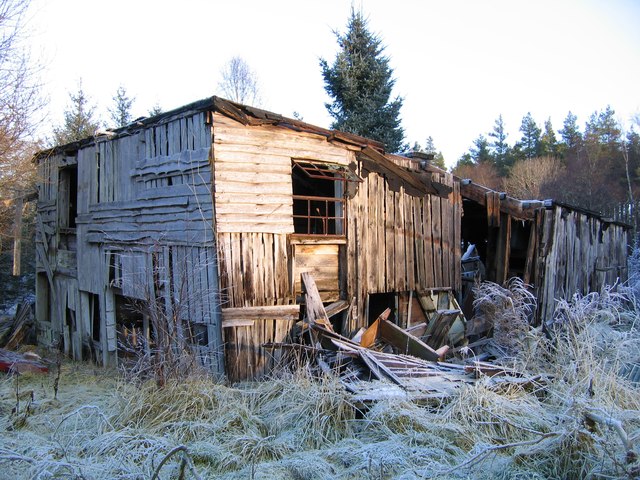
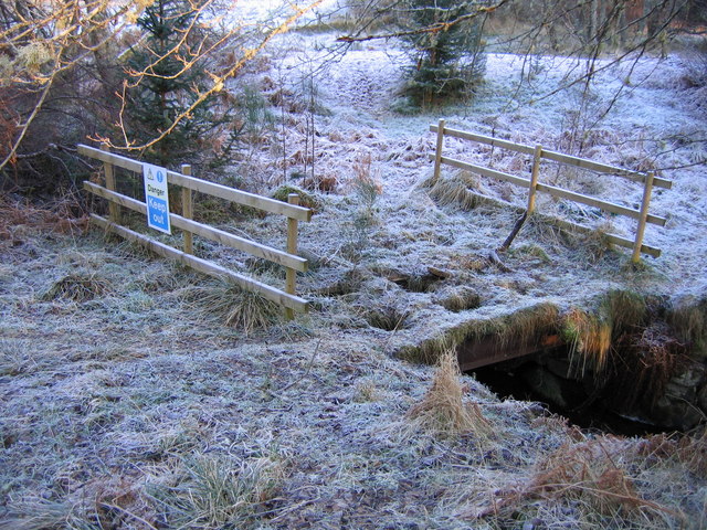
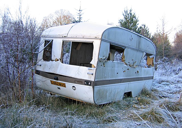
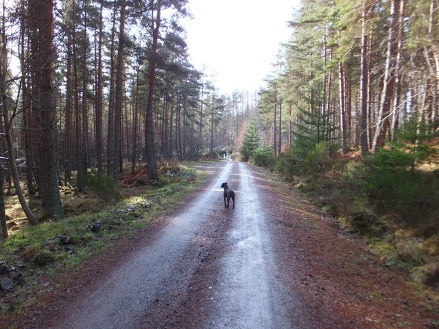
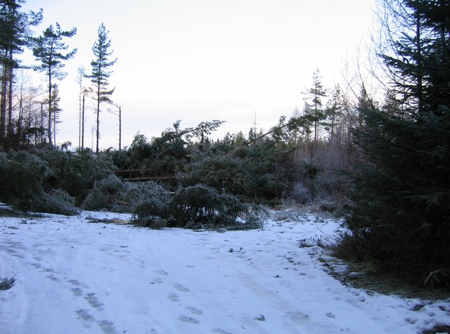
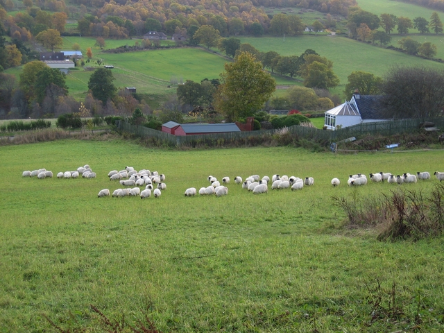
Torr of Boblainy Images

Images are sourced within 2km of 57.41452/-4.508734 or Grid Reference NH4938. Thanks to Geograph Open Source API. All images are credited.

Teanacoil Sawmill This building was the main accommodation block for the sawmill. It was the only building still standing, though parts of it were falling down.

As of August 2012, this building has been demolished, see <a href="https://www.geograph.org.uk/photo/3079254">NH4940 : Teanacoil Sawmill demolished</a>
Teanacoil Sawmill
This building was the main accommodation block for the sawmill. It was the only building still standing, though parts of it were falling down. As of August 2012, this building has been demolished, see NH4940 : Teanacoil Sawmill demolished
Old bridge over the Black Burn This is the old track leading to Teanacoil Sawmill. The bridge was falling into disrepair, and fenced off with a "Danger Keep Out" sign. The main beams of the bridge still seem pretty solid, so it was possible to carefully walk across.

The bridge has since been rebuilt and repaired, see <a href="https://www.geograph.org.uk/photo/3081041">NH4940 : Bridge over the Black Burn</a>
Old bridge over the Black Burn
This is the old track leading to Teanacoil Sawmill. The bridge was falling into disrepair, and fenced off with a "Danger Keep Out" sign. The main beams of the bridge still seem pretty solid, so it was possible to carefully walk across. The bridge has since been rebuilt and repaired, see NH4940 : Bridge over the Black Burn
Old caravan at Teanacoil Sawmill This caravan has been here for a number of years, and it is now in rather poor condition.
It would be rather difficult to remove it now, as much of the surrounding area is overgrown with bushes and trees.
Old caravan at Teanacoil Sawmill
This caravan has been here for a number of years, and it is now in rather poor condition. It would be rather difficult to remove it now, as much of the surrounding area is overgrown with bushes and trees.
Yellow-banded pine trees A number of trees in this area have sticky yellow bands around them - they are for monitoring for Pine-tree lappet moths (Dendrolimus pini). When the caterpillars of this moth crawl down the trees, they will get stuck on the yellow bands.

Pine-tree lappet moths are usually found in Eastern Europe and Russia, but in 2009 a number of them were found breeding in Boblainy Forest. The moths feed on Scots pine, and can cause severe damage and death to the trees. The Forestry Commission are monitoring the moths, to find out how many there are and how to deal with them. They have also restricted timber movement from forests in the area, to limit the spread of the moth.

See the Forestry Commission pages for more details: <span class="nowrap"><a title="http://www.forestry.gov.uk/fr/INFD-8HNHK9" rel="nofollow ugc noopener" href="http://www.forestry.gov.uk/fr/INFD-8HNHK9">Link</a><img style="margin-left:2px;" alt="External link" title="External link - shift click to open in new window" src="https://s1.geograph.org.uk/img/external.png" width="10" height="10"/></span> and <span class="nowrap"><a title="http://www.forestry.gov.uk/website/forestry.nsf/byunique/infd-8aflrb" rel="nofollow ugc noopener" href="http://www.forestry.gov.uk/website/forestry.nsf/byunique/infd-8aflrb">Link</a><img style="margin-left:2px;" alt="External link" title="External link - shift click to open in new window" src="https://s1.geograph.org.uk/img/external.png" width="10" height="10"/></span>
Yellow-banded pine trees
A number of trees in this area have sticky yellow bands around them - they are for monitoring for Pine-tree lappet moths (Dendrolimus pini). When the caterpillars of this moth crawl down the trees, they will get stuck on the yellow bands. Pine-tree lappet moths are usually found in Eastern Europe and Russia, but in 2009 a number of them were found breeding in Boblainy Forest. The moths feed on Scots pine, and can cause severe damage and death to the trees. The Forestry Commission are monitoring the moths, to find out how many there are and how to deal with them. They have also restricted timber movement from forests in the area, to limit the spread of the moth. See the Forestry Commission pages for more details: LinkExternal link and LinkExternal link
Teanacoil Sawmill demolished This was the site of the last remaining building of Teanacoil Sawmill. It was in poor condition, and probably rather dangerous. It has now all been demolished, leaving just the concrete floor and a pile of rubble.
For the building six months ago, see <a href="https://www.geograph.org.uk/photo/2789975">NH4940 : Teanacoil Sawmill</a>
Teanacoil Sawmill demolished
This was the site of the last remaining building of Teanacoil Sawmill. It was in poor condition, and probably rather dangerous. It has now all been demolished, leaving just the concrete floor and a pile of rubble. For the building six months ago, see NH4940 : Teanacoil Sawmill
Old chimney, Teanacoil Sawmill All that remains of this building is a pair of brick chimneys. They are now rather well hidden amongst the trees.
I don't know what this building was used for.
Old chimney, Teanacoil Sawmill
All that remains of this building is a pair of brick chimneys. They are now rather well hidden amongst the trees. I don't know what this building was used for.
Bridge over the Black Burn This is the route to the site of Teanacoil Sawmill. The track has been recently cleared and improved, and this bridge has been repaired or rebuilt. The bridge was in rather poor condition, with holes in the decking, see <a href="https://www.geograph.org.uk/photo/2791294">NH4940 : Old bridge over the Black Burn</a>

On the right is a sign saying "Path 1km, Country Walk", though I'm not sure if it actually leads anywhere. Across the bridge on the left is a pile of sawdust.
Bridge over the Black Burn
This is the route to the site of Teanacoil Sawmill. The track has been recently cleared and improved, and this bridge has been repaired or rebuilt. The bridge was in rather poor condition, with holes in the decking, see NH4940 : Old bridge over the Black Burn On the right is a sign saying "Path 1km, Country Walk", though I'm not sure if it actually leads anywhere. Across the bridge on the left is a pile of sawdust.
Forest track, Teanacoil Wood
Log stacks, Boblainy Forest Stacks of timber alongside the track, on a grey evening.
Log stacks, Boblainy Forest
Stacks of timber alongside the track, on a grey evening.
Minor track, Boblainy Forest Much of the surrounding area has been felled recently, but the smaller trees alongside the track have been left.
Minor track, Boblainy Forest
Much of the surrounding area has been felled recently, but the smaller trees alongside the track have been left.
Bench with a view, Boblainy Forest A view north towards Ben Wyvis. The cleared area in the foreground is now getting covered by bracken and gorse.

A similar view last year. <a href="https://www.geograph.org.uk/photo/6419555">NH4937 : Bench with a view, Boblainy Forest</a>
Bench with a view, Boblainy Forest
A view north towards Ben Wyvis. The cleared area in the foreground is now getting covered by bracken and gorse. A similar view last year. NH4937 : Bench with a view, Boblainy Forest
Track, Boblainy Forest Looking back down the hill. Conifer trees alongside the track, including spruce and pine.
Track, Boblainy Forest
Looking back down the hill. Conifer trees alongside the track, including spruce and pine.
Track, Boblainy Forest Looking down the hill. Some tall pine trees alongside the track.
Track, Boblainy Forest
Looking down the hill. Some tall pine trees alongside the track.
Cleared forest, by Boblainy Looks like this area was felled a few years ago. A few birch trees left standing.
Cleared forest, by Boblainy
Looks like this area was felled a few years ago. A few birch trees left standing.
Cleared forest, by Clunevackie The edge of a large area of cleared forest. The ground is covered by brash.
Cleared forest, by Clunevackie
The edge of a large area of cleared forest. The ground is covered by brash.
Cleared forest, by Clunevackie A large area of cleared forest, the ground is covered by brash.
Cleared forest, by Clunevackie
A large area of cleared forest, the ground is covered by brash.
Fallen trees across the track Trees blocking the main track through Boblainy Forest, probably felled in the recent strong winds. A Forestry Commission marker post is visible in the centre, behind a fallen tree.

It is possible to avoid this obstruction by following the track off to the left, which goes the long way around this triangular junction. The footprints show a few people have done this recently.
Fallen trees across the track
Trees blocking the main track through Boblainy Forest, probably felled in the recent strong winds. A Forestry Commission marker post is visible in the centre, behind a fallen tree. It is possible to avoid this obstruction by following the track off to the left, which goes the long way around this triangular junction. The footprints show a few people have done this recently.
Forest track down the hill This track was upgraded last year, with this gate added. The gate is usually locked, but there is space around the sides for pedestrians or cyclists. There is a sign warning of "Timber Operations Ahead", but there didn't seem to be much happening today.
Some houses and fields near Femnock and Boblainy are visible in the distance.
Forest track down the hill
This track was upgraded last year, with this gate added. The gate is usually locked, but there is space around the sides for pedestrians or cyclists. There is a sign warning of "Timber Operations Ahead", but there didn't seem to be much happening today. Some houses and fields near Femnock and Boblainy are visible in the distance.
Show me another place!

Torr of Boblainy is located at Grid Ref: NH4938 (Lat: 57.41452, Lng: -4.508734)

Unitary Authority: Highland

Police Authority: Highlands and Islands

What 3 Words

///squares.police.prospered. Near Beauly, Highland

Nearby Locations

Torr of Boblainy

Related Wikis

Ardendrain

Ardendrain (Scottish Gaelic: Àirde an Droigheann, meaning "Height of the Blackthorn) is a scattered hamlet in the Highland council area of Scotland. It...
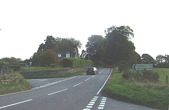
Foxhole, Scotland

Foxhole (Scottish Gaelic: A 'Bhog solla) is a small hamlet in the Highland council area of Scotland. It is 2 miles (3.2 km) south of the village of Kiltarlity...

Glaichbea

Glaichbea is a small hamlet in the Highland council area, located directly south of Camault Muir in the Highlands of Scotland. It is located 3.8 miles...

Camault Muir

Camault Muir is a scattered crofting community and part of the village of Kiltarlity, in the Highland council area of Scotland. It is situated on a boggy...

Nearby Amenities

Located within 500m of 57.41452,-4.508734
Barrier: cattle_grid
Lat/Long: 57.4133029/-4.5146917
Power: pole
Lat/Long: 57.4117012/-4.514333
Power: pole
Lat/Long: 57.412284/-4.5143582
Power: pole
Lat/Long: 57.4128451/-4.5144019
Power: pole
Lat/Long: 57.4134071/-4.5144641
Power: pole
Lat/Long: 57.4141845/-4.514827
Power: pole
Lat/Long: 57.4148216/-4.5144506
Power: pole
Lat/Long: 57.4154397/-4.5141129
Power: pole
Lat/Long: 57.4160731/-4.5137415
Power: pole
Lat/Long: 57.4166876/-4.5134021
Power: pole
Lat/Long: 57.4173527/-4.5130055
Power: pole
Lat/Long: 57.417664/-4.5125804
Power: pole
Lat/Long: 57.4183662/-4.511547
The data included in this document is from www.openstreetmap.org. The data is made available under ODbL.

Have you been to Torr of Boblainy?

Leave your review of Torr of Boblainy below (or comments, questions and feedback).