Stockie Muir
Hill, Mountain in Stirlingshire
Scotland
Stockie Muir
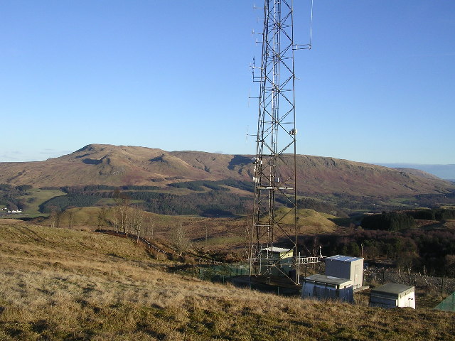
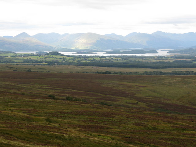
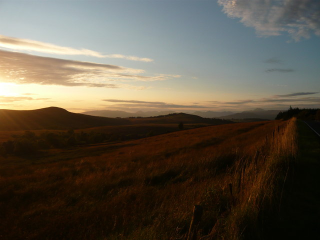
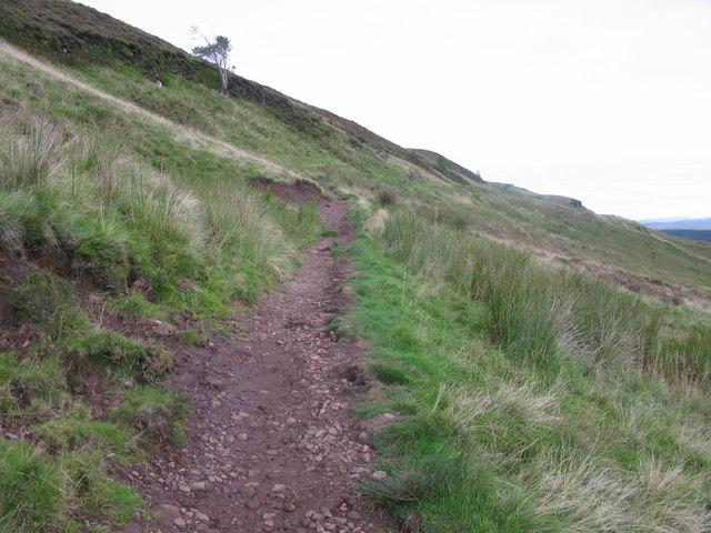
Stockie Muir is a picturesque hill located in Stirlingshire, Scotland. Standing at an elevation of approximately 348 meters (1,142 feet), it offers stunning panoramic views of the surrounding countryside. This hill is a popular destination for nature enthusiasts, hikers, and photographers.
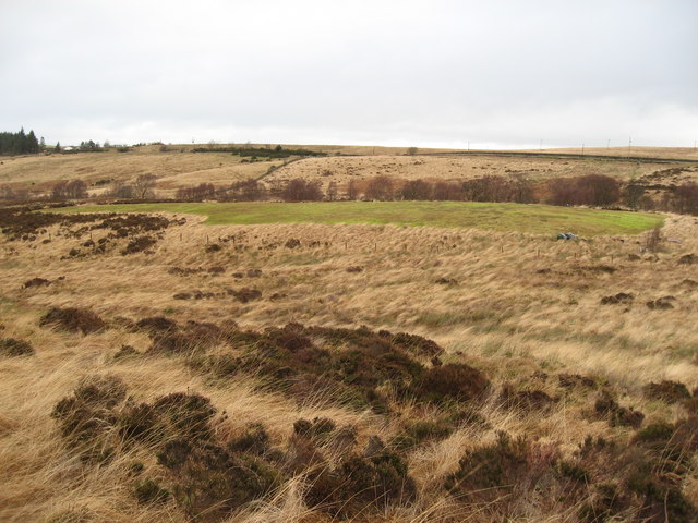
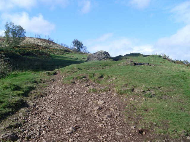
The landscape of Stockie Muir is characterized by rolling green hills, scattered with patches of heather and gorse. The hill itself is covered with a mixture of grass and low-lying shrubs, creating a beautiful tapestry of colors throughout the seasons. In the spring, wildflowers bloom, adding vibrant hues to the landscape.
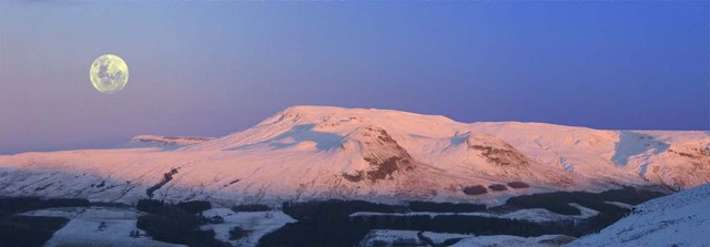
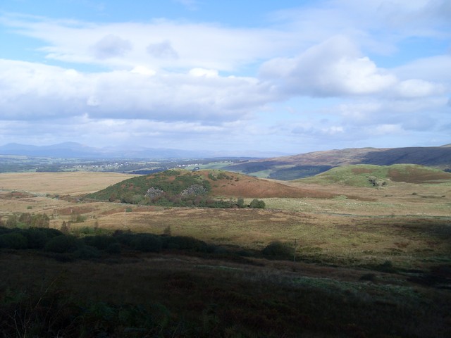
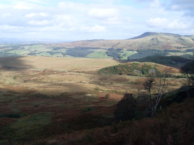
The summit of Stockie Muir is relatively flat, providing ample space for visitors to stop and admire the breathtaking vistas. On a clear day, it is possible to see the nearby Ochil Hills, the River Forth, and even the towering peaks of the Grampian Mountains in the distance.
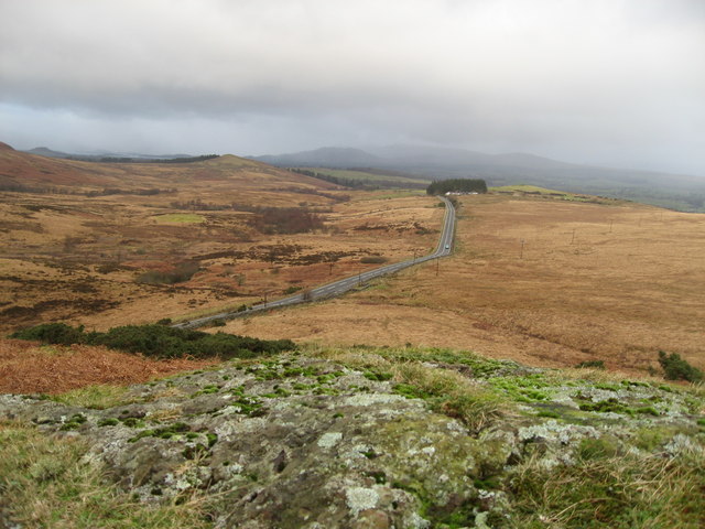
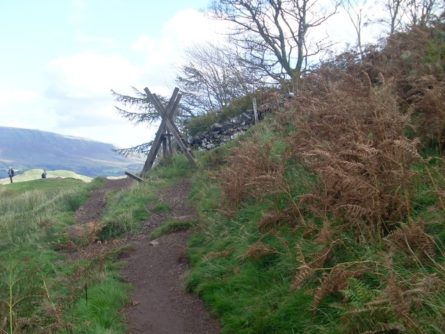
There are several walking trails that wind their way up Stockie Muir, catering to different levels of fitness and experience. These paths are well-maintained and clearly signposted, ensuring that visitors can navigate the hill easily. Along the trails, there are benches and picnic spots, offering opportunities for relaxation and enjoyment of the natural surroundings.
Stockie Muir is also home to a diverse range of wildlife, including birds, rabbits, and occasionally deer. Birdwatchers can spot species such as skylarks, pheasants, and buzzards soaring above the hill.
Overall, Stockie Muir is a captivating hill in Stirlingshire, providing a tranquil escape from the bustling city life while offering breathtaking views and a chance to immerse oneself in nature's beauty.
If you have any feedback on the listing, please let us know in the comments section below.
Stockie Muir Images
Images are sourced within 2km of 56.008862/-4.4169877 or Grid Reference NS4982. Thanks to Geograph Open Source API. All images are credited.


Stockie Muir is located at Grid Ref: NS4982 (Lat: 56.008862, Lng: -4.4169877)
Unitary Authority: Stirling
Police Authority: Forth Valley
What 3 Words
///gear.trees.flitting. Near Killearn, Stirling
Nearby Locations
Related Wikis

Finnich Glen
Finnich Glen in Stirlingshire, is a short, steep glen up to 70 ft deep which runs east from Finnich Bridge on the A809. It was carved from the red sandstone...
Killearn Hospital
Killearn Hospital was a health facility at Killearn in the Stirling council area of Scotland. == History == The hospital was established as one of seven...
Dumgoyne railway station
Dumgoyne railway station served the village of Killearn, Stirling, Scotland from 1867 to 1951 on the Blane Valley Railway. == History == The station was...

Glengoyne distillery
Glengoyne distillery is a whisky distillery continuously in operation since its founding in 1833 at Dumgoyne, north of Glasgow, Scotland. Glengoyne is...

Killearn railway station
Killearn railway station served the village of Killearn, Stirling, Scotland from 1882 to 1951 on the Blane Valley Railway. == History == The station opened...

Croftamie
Croftamie (Scottish Gaelic Croit Sheumaidh) is a small village and community council area in the Stirling council area in Scotland. It lies to the south...
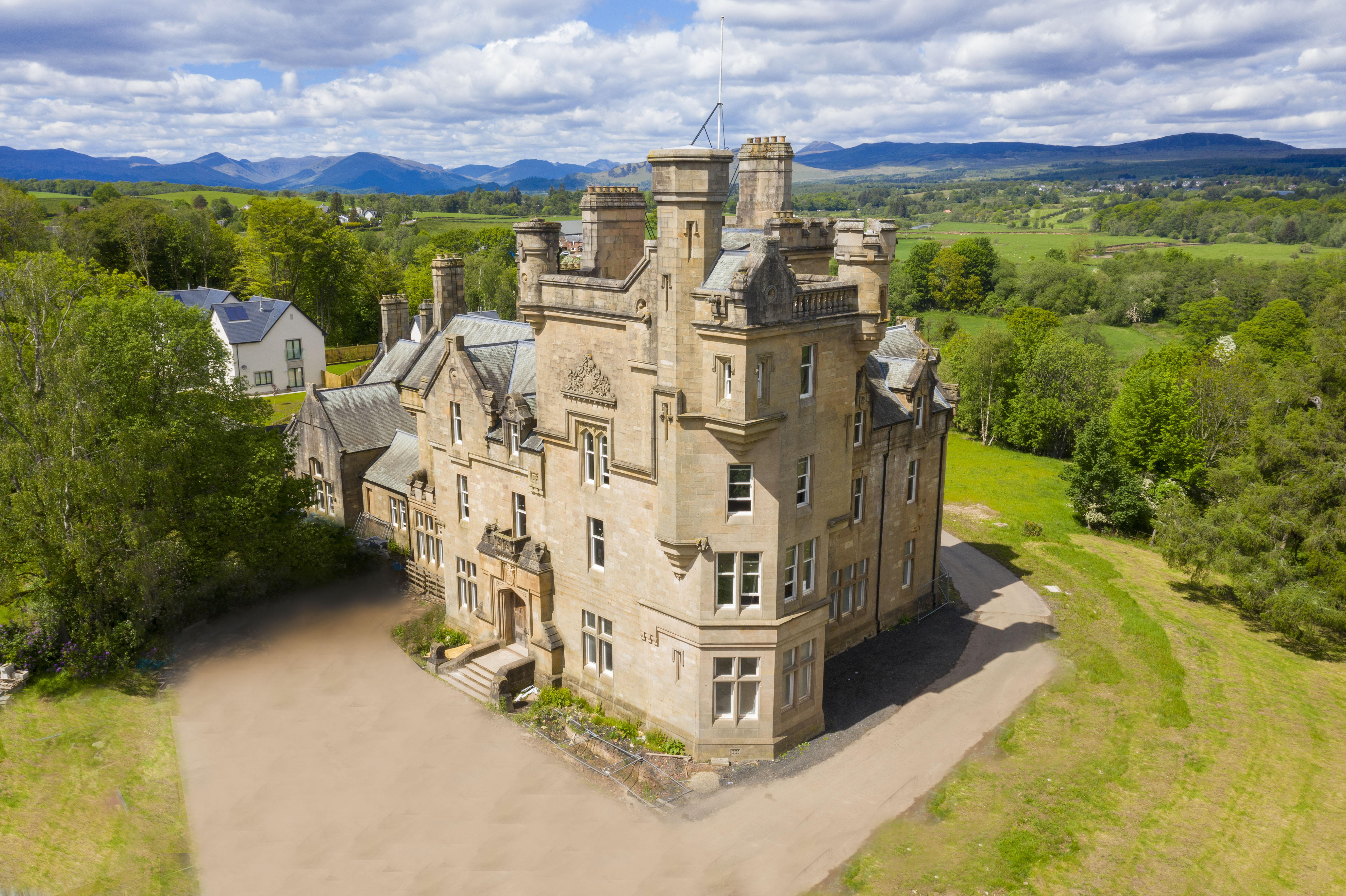
Dalnair Castle
Dalnair Castle, also known as Dalnair House, is a Scottish baronial castle dating from around 1884. It is located outside the village of Croftamie in Stirling...
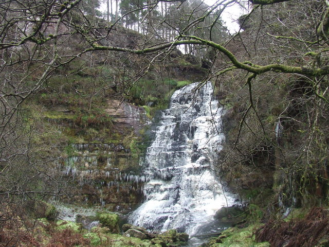
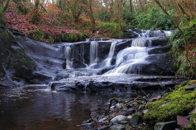
Ishneich
Ishneich is a waterfall of Scotland.This stunning waterfall can be reached by following the John Muir trail past the Burncrooks reservoir and through the...
Have you been to Stockie Muir?
Leave your review of Stockie Muir below (or comments, questions and feedback).