Bar Hill

Hill, Mountain in Kirkcudbrightshire

Scotland

Bar Hill

Sheds belonging to Bagbie Farm
Sheds belonging to Bagbie Farm Credit: Eirian Evans

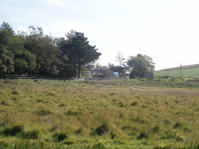
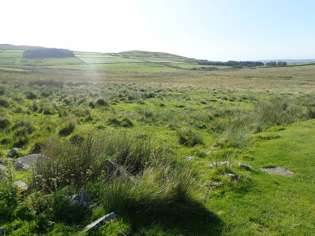
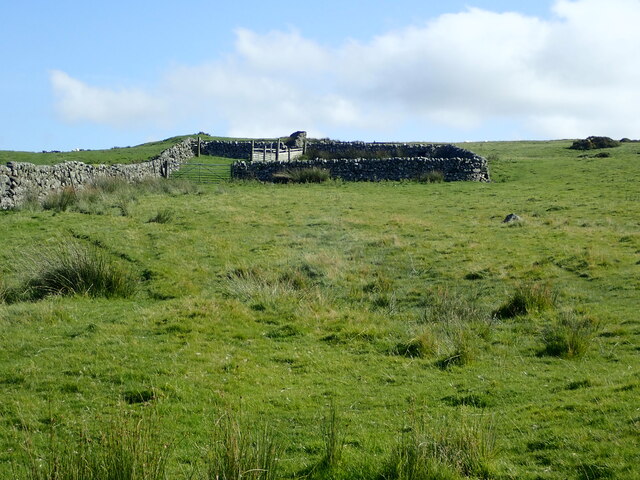
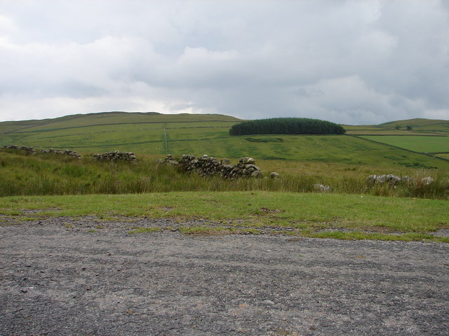
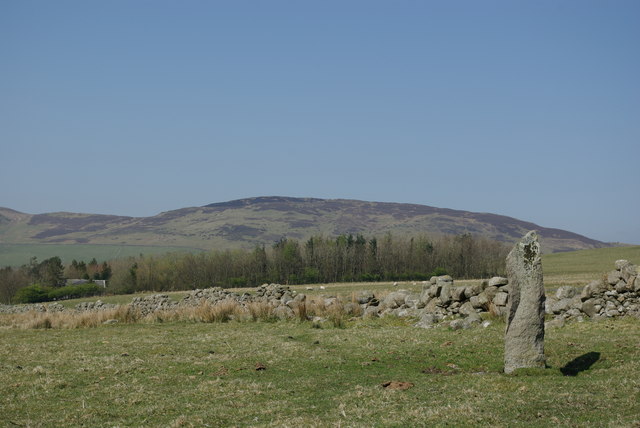
Bar Hill is a prominent hill located in Kirkcudbrightshire, a historic county in the southwest of Scotland. Situated in the picturesque Galloway Forest Park, it is known for its natural beauty and stunning panoramic views of the surrounding landscape.

Rising to an elevation of approximately 365 meters (1,198 feet), Bar Hill is a popular destination for hikers and nature enthusiasts. Its well-defined trails and accessible slopes make it an ideal spot for both experienced climbers and those seeking a more leisurely stroll. The hill is covered in lush greenery, with a mix of heather, grasses, and scattered rock formations, adding to its aesthetic appeal.

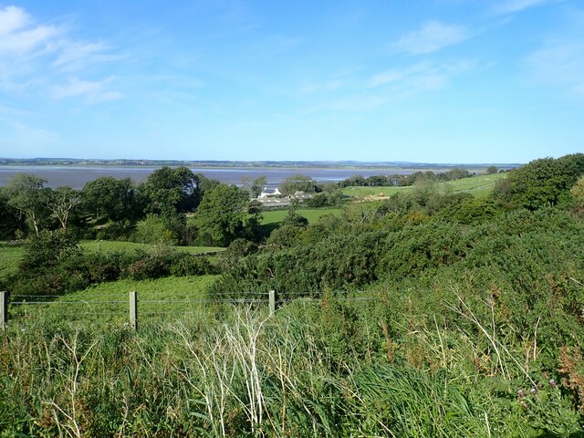
The summit of Bar Hill offers breathtaking vistas across the rolling hills and valleys of Kirkcudbrightshire. On a clear day, visitors can see as far as the Solway Firth, with the distant outline of the Lake District visible on the horizon. The views from the top are particularly spectacular during sunrise and sunset, when the sky becomes a canvas of vibrant hues.

Bar Hill is also home to a variety of wildlife, including red deer, birds of prey, and several species of wildflowers. Nature lovers will find ample opportunities for birdwatching and wildlife photography in this tranquil setting.

Access to Bar Hill is facilitated by nearby parking areas and well-maintained paths. Visitors are advised to dress appropriately for the changeable Scottish weather conditions and to bring drinking water and snacks for their hike.

If you have any feedback on the listing, please let us know in the comments section below.
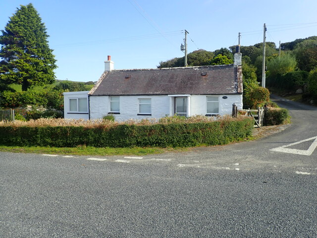
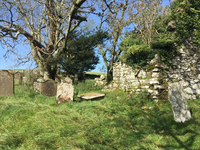
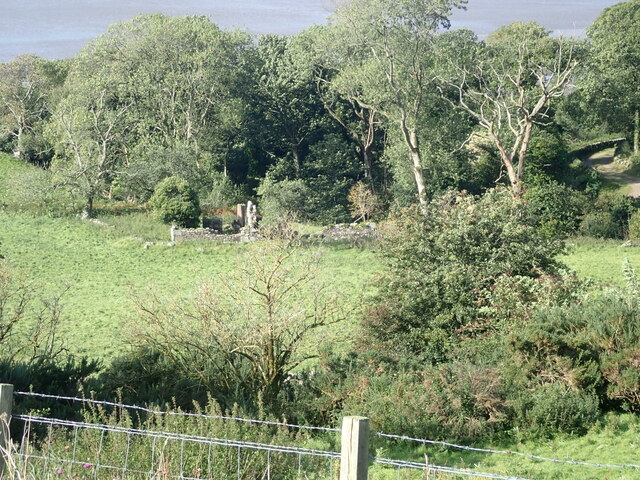
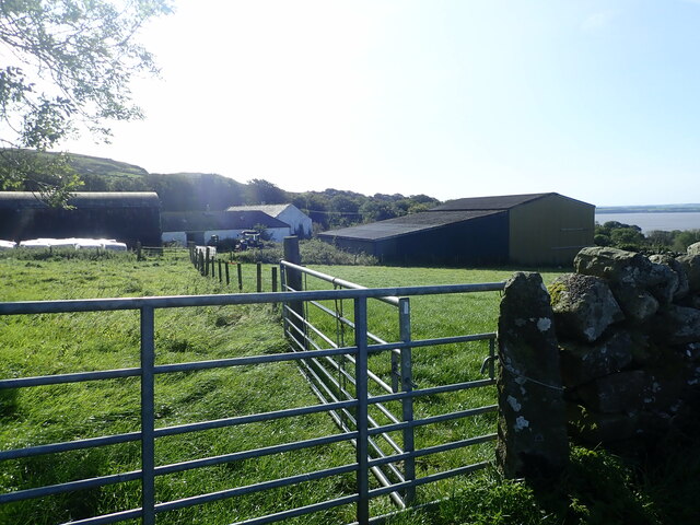
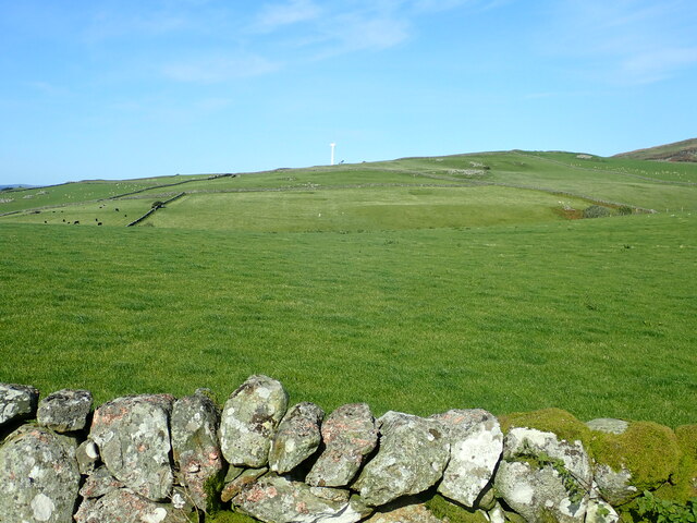
Bar Hill Images

Images are sourced within 2km of 54.867909/-4.3547114 or Grid Reference NX4855. Thanks to Geograph Open Source API. All images are credited.

Sheds belonging to Bagbie Farm
Moorland, Knock Gray View to distant Kirkdale Hill
Moorland, Knock Gray
View to distant Kirkdale Hill
Sheepfold on Blackmyre Moor
A75 Gretna-Stranraer Road near Carsluith. Picture taken from the east end of the lay-by, east of Carsluith Castle.
A75 Gretna-Stranraer Road near Carsluith.
Picture taken from the east end of the lay-by, east of Carsluith Castle.
Knock Gray & Kirkdale Hill View from the Carsluith-Cambret lane (Bagbie corner) across Knock Gray to the northern slopes of Kirkdale Hill.
Knock Gray & Kirkdale Hill
View from the Carsluith-Cambret lane (Bagbie corner) across Knock Gray to the northern slopes of Kirkdale Hill.
Standing Stone SE of Bagbie Sheds Two similar solitary stones are to be found a short distance to the south. None of these stones appear to be recorded by the Royal Commission on the Ancient and Historical Monuments of Scotland in their Canmore Database. Therefore, the antiquity of these stones has to be considered as doubtful.
Standing Stone SE of Bagbie Sheds
Two similar solitary stones are to be found a short distance to the south. None of these stones appear to be recorded by the Royal Commission on the Ancient and Historical Monuments of Scotland in their Canmore Database. Therefore, the antiquity of these stones has to be considered as doubtful.
Perching on the Bagbie signpost Perching spot for a few sparrows
Perching on the Bagbie signpost
Perching spot for a few sparrows
View across the River Cree Across the river is Wigtown. There are stake nets, used for catching salmon, in the saltings
View across the River Cree
Across the river is Wigtown. There are stake nets, used for catching salmon, in the saltings
The Galloway Smokehouse The smokehouse offers a great variety of fish, game and cheese, all smoked in specially selected sawdust. This is a by-product from a nearby cooperage, where whisky barrels are refurbished, the barrel bands are taken off and all the joints are re-planed to give a watertight seal. These shavings impregnated with whisky are burnt in the smokers to give the rich strength of taste to the products. There is also a restaurant attached to the smokehouse.
The Galloway Smokehouse
The smokehouse offers a great variety of fish, game and cheese, all smoked in specially selected sawdust. This is a by-product from a nearby cooperage, where whisky barrels are refurbished, the barrel bands are taken off and all the joints are re-planed to give a watertight seal. These shavings impregnated with whisky are burnt in the smokers to give the rich strength of taste to the products. There is also a restaurant attached to the smokehouse.
Stone circle East of the remains of Kirkmabreck Church
Stone circle
East of the remains of Kirkmabreck Church
House at Carsluith
House at Carsluith
Fields cut for silage above Carsluith
Cottage at Carsluith
Graveyard at Kilmabreck Church
Ruin near Kirkbride Burn
Kirkbride Farm The River Cree in the distance
Kirkbride Farm
The River Cree in the distance
Bagbie Farm On the hillside east of the Cree estuary
Bagbie Farm
On the hillside east of the Cree estuary
View over pasture to Kilmabreck wind turbine
Show me another place!

Bar Hill is located at Grid Ref: NX4855 (Lat: 54.867909, Lng: -4.3547114)

Unitary Authority: Dumfries and Galloway

Police Authority: Dumfries and Galloway

What 3 Words

///logbook.sulk.purely. Near Newton Stewart, Dumfries & Galloway

Related Wikis

River Bladnoch

The Bladnoch is a river in Wigtownshire in the Machars of Galloway in southwest Scotland. One of the earliest descriptions of it is given by Sir Andrew...

Cairnholy

Cairnholy (or Cairn Holy) is the site of two Neolithic chambered tombs of the Clyde type. It is located 4 kilometres east of the village of Carsluith in...
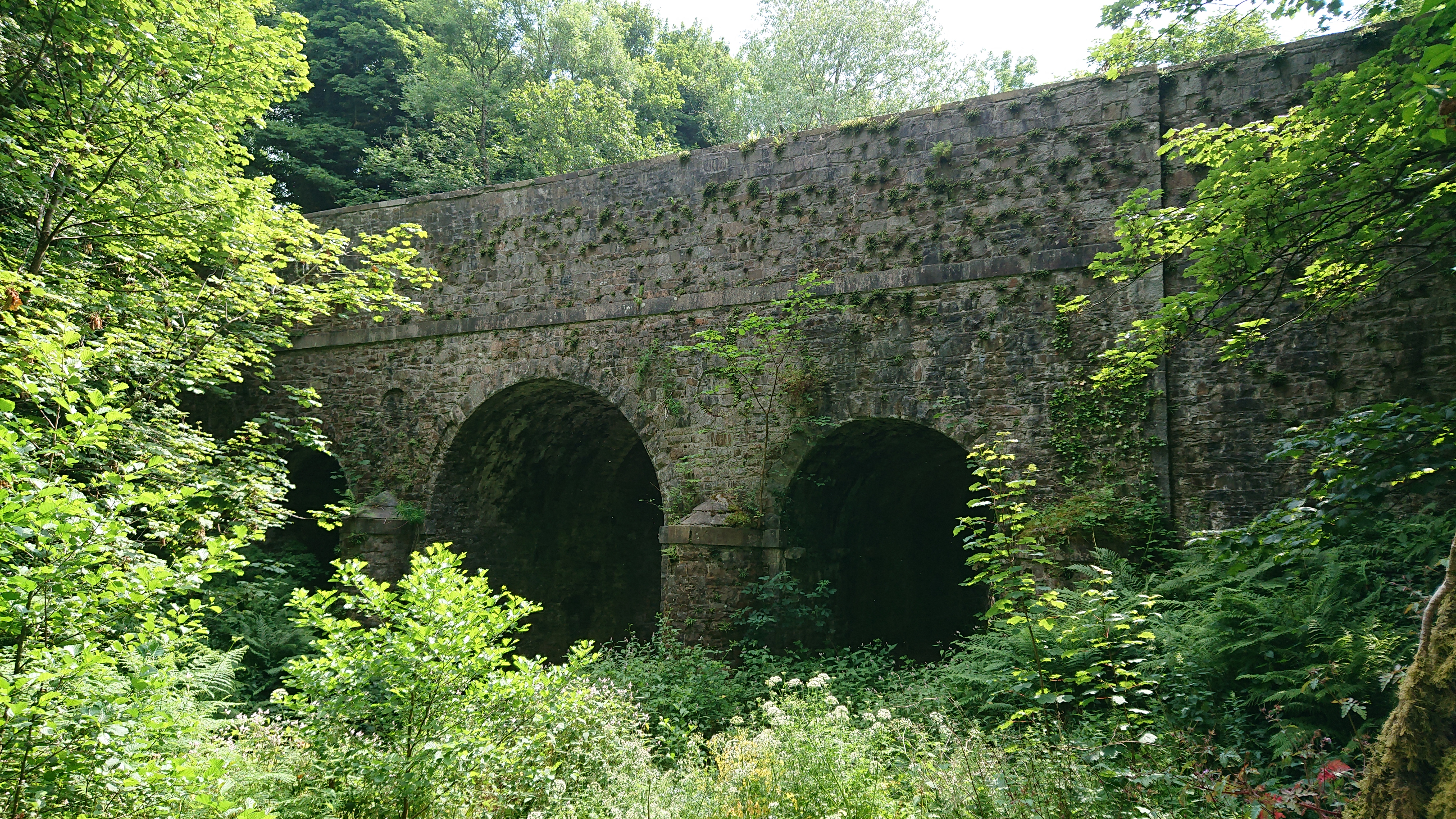
Kirkdale Bridge

Kirkdale Bridge is a bridge over the Kirkdale Burn in the parish of Kirkmabreck, between Gatehouse of Fleet and Creetown in Dumfries and Galloway, Scotland...

Creetown F.C.

Creetown Football Club are a football club based in Creetown in the Dumfries and Galloway area of Scotland. Formed in 1905 as Creetown Rifle Volunteers...

Related Videos

Castle Cary Holiday Park - 3 days camping in Dumfries and Galloway/Scotland

For additional information please turn on the subtitles. Available in 4 languages. Castle Cary Holiday Park is set in a wonderful ...

The disused granite quarry: Kirkmabreck Quarry /Dumfries and Galloway/Scotland

For additional information please turn on the subtitles. Available in 4 languages. The quarry, located near Creetown in Dumfries ...

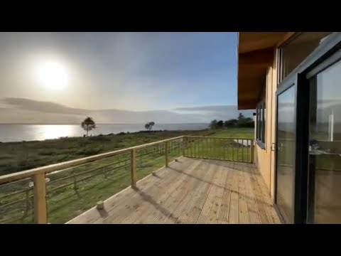
Kirkdale Estate Lodges, Carsluith Castle, Dumfries and Galloway, coastal lodges for sale

Outstanding new bespoke cedar holiday lodges for sale. Situated on the coast of beautiful Galloway with spectacular sea views ...

Nearby Amenities

Located within 500m of 54.867909,-4.3547114
Village
Local Ref: VIEW TE
Naptan AtcoCode: 680000041333
Naptan Bearing: NW
Naptan BusStopType: CUS
Naptan CommonName: Village
Naptan Indicator: Bayview Terr
Naptan Landmark: Carsluith
Naptan NaptanCode: 34236782
Naptan Notes: none
Naptan Street: Bayview Terrace
Naptan Verified: no
Source: naptan_import
Lat/Long: 54.8651318/-4.3585904
Village
Naptan AtcoCode: 680000041444
Naptan Bearing: SE
Naptan BusStopType: CUS
Naptan CommonName: Village
Naptan Indicator: opp Bayview Terr
Naptan Landmark: Carsluith
Naptan NaptanCode: 34238628
Naptan Notes: none
Naptan Street: Bayview Terrace
Naptan Verified: no
Source: naptan_import
Lat/Long: 54.8652284/-4.3587052
Place: farm
Lat/Long: 54.869395/-4.3607083
Power: pole
Lat/Long: 54.8687529/-4.3619083
Power: pole
Lat/Long: 54.8681106/-4.3612963
Power: pole
Lat/Long: 54.8675103/-4.3607382
Power: pole
Lat/Long: 54.8668945/-4.3601512
Power: pole
Lat/Long: 54.8660727/-4.3593737
Power: pole
Lat/Long: 54.8658235/-4.3598683
Power: pole
Lat/Long: 54.8652398/-4.3607401
Power: pole
Lat/Long: 54.8662831/-4.3587501
Power: pole
Lat/Long: 54.866653/-4.3480995
Power: pole
Lat/Long: 54.8672644/-4.3483574
Power: pole
Lat/Long: 54.8678824/-4.3486211
Power: pole
Lat/Long: 54.8684052/-4.3494217
Power: pole
Lat/Long: 54.8688149/-4.3500337
Power: pole
Lat/Long: 54.8661087/-4.347857
Power: pole
Lat/Long: 54.8648593/-4.3499891
Power: pole
Lat/Long: 54.8647841/-4.3511089
Power: pole
Lat/Long: 54.8647358/-4.3519814
Power: pole
Lat/Long: 54.8646633/-4.353437
Power: pole
Lat/Long: 54.8645706/-4.354972
Power: pole
Lat/Long: 54.8642149/-4.3526579
Telephone
Booth: K6
Covered: booth
Man Made: telephone_box
Lat/Long: 54.8652297/-4.3577534
Post Box
Collection Times: Mo-Fr 12:00; Sa 11:30
Operator: Royal Mail
Post Box Type: lamp
Ref: DG8 38
Royal Cypher: scottish_crown
Lat/Long: 54.8652175/-4.3584193
The data included in this document is from www.openstreetmap.org. The data is made available under ODbL.

Have you been to Bar Hill?

Leave your review of Bar Hill below (or comments, questions and feedback).