William's Hill
Hill, Mountain in Renfrewshire
Scotland
William's Hill
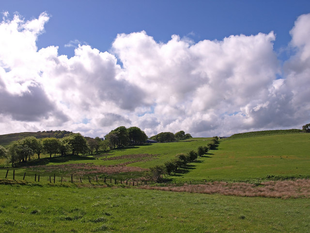
William's Hill is a prominent natural landmark located in the county of Renfrewshire, Scotland. It stands at an elevation of approximately 210 meters and is situated near the town of Bridge of Weir. The hill is named after William Semple, a local landowner who owned the surrounding land in the 19th century.
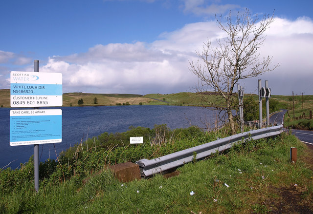
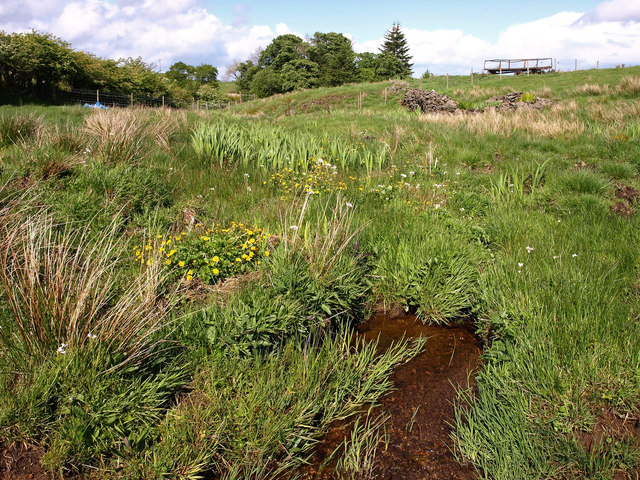
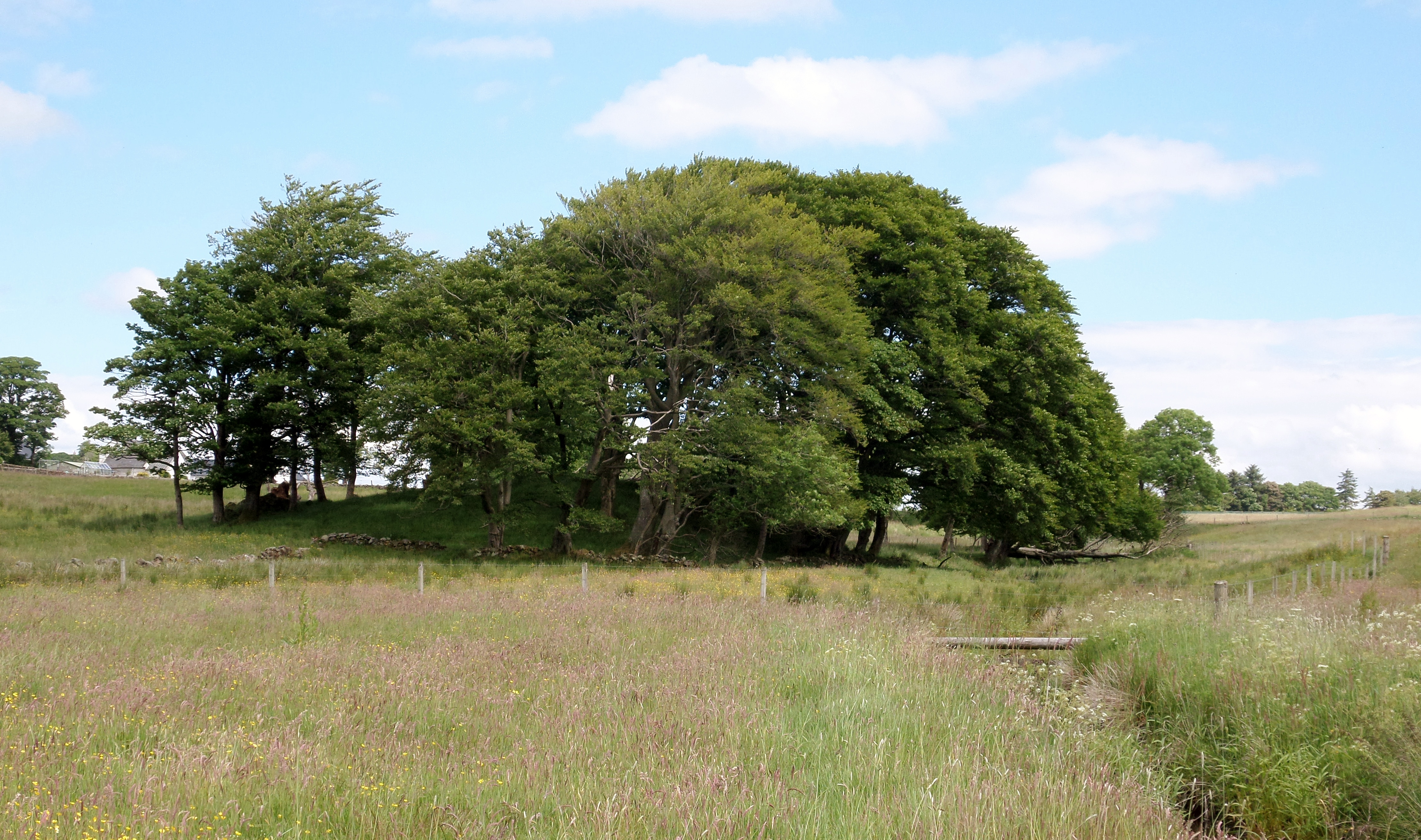
The hill offers panoramic views of the surrounding countryside and is a popular destination for hikers, nature enthusiasts, and locals seeking a peaceful retreat. It is covered in lush green vegetation, including heather, grasses, and various species of wildflowers, which add to its natural charm.
The ascent to the top of William's Hill is moderate, making it accessible for hikers of all levels. The path leading to the summit is well-maintained and offers glimpses of the diverse wildlife that inhabits the area, including deer, rabbits, and a variety of bird species.
At the summit, visitors are rewarded with breathtaking views of the picturesque Renfrewshire countryside, with rolling hills, meandering rivers, and small villages dotting the landscape. On clear days, it is even possible to see the distant peaks of the Scottish Highlands.
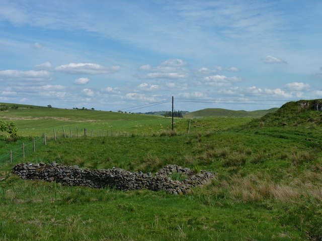
Apart from its natural beauty, William's Hill also holds historical significance. It is believed to have been a site of human activity since ancient times, with archaeological remains suggesting that it was once used as a fort or defensive structure.
Overall, William's Hill in Renfrewshire offers a captivating blend of natural beauty, recreational opportunities, and historical intrigue, making it a must-visit location for anyone exploring the region.
If you have any feedback on the listing, please let us know in the comments section below.
William's Hill Images
Images are sourced within 2km of 55.746456/-4.4072631 or Grid Reference NS4852. Thanks to Geograph Open Source API. All images are credited.


William's Hill is located at Grid Ref: NS4852 (Lat: 55.746456, Lng: -4.4072631)
Unitary Authority: East Renfrewshire
Police Authority: Greater Glasgow
What 3 Words
///relaxed.samples.dressings. Near Neilston, East Renfrewshire
Nearby Locations
Related Wikis

Neilston Pad
Neilston Pad, referred to locally as The Pad, is a distinctive hill in East Renfrewshire, situated a mile (1.5 km) south of the village of Neilston. Its...

Craighall Reservoir
Craighall Reservoir, known locally as Craighall Dam, is one of a number of small reservoirs, situated around Neilston in East Renfrewshire, Scotland. The...

Netherplace
Netherplace is a hamlet in East Renfrewshire. It is to the west of Newton Mearns, and adjacent to the M77 motorway. The settlement is almost entirely along...
Lands of Blacklaw
The Lands of Blacklaw formed a small property of five merks worth, in the Lordship of Stewarton at the eastern extremity of Strathannick, between the hamlet...
Neilston F.C.
Neilston Football Club are a Scottish football club based in Neilston, East Renfrewshire who currently play in the West of Scotland League First Division...
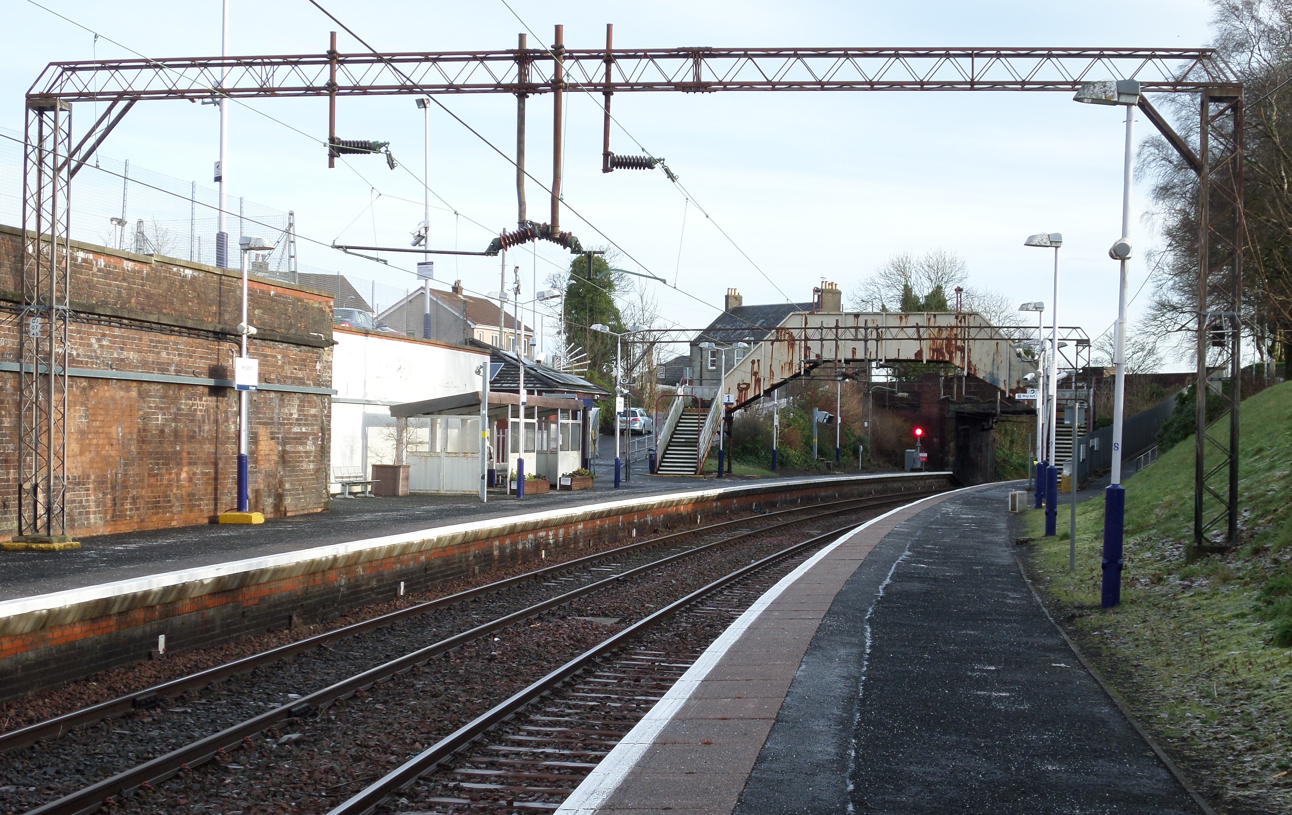
Neilston railway station
Neilston railway station is a railway station in the village of Neilston, East Renfrewshire, Greater Glasgow, Scotland. The station is managed by ScotRail...
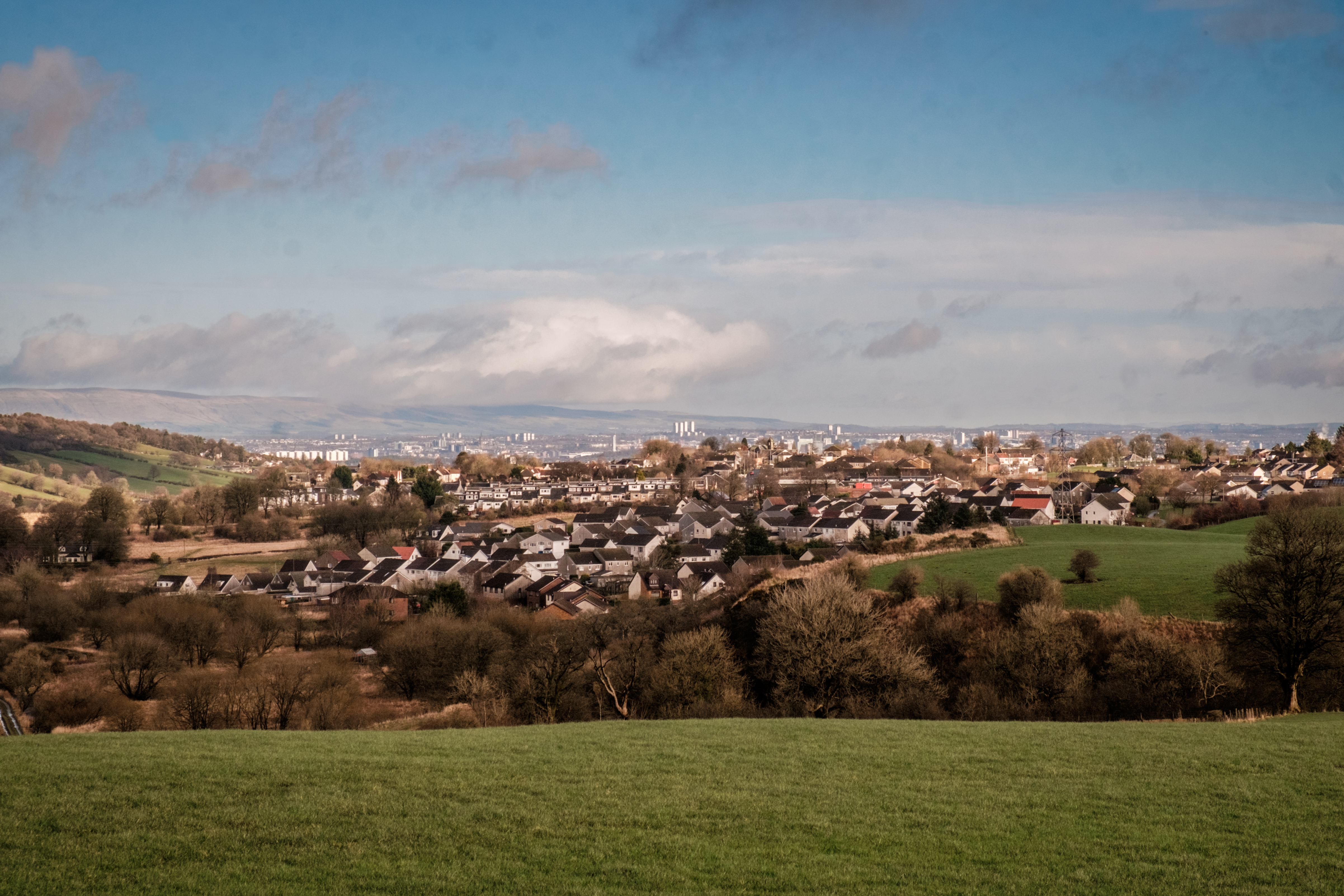
Neilston
Neilston (Scots: Neilstoun, Scottish Gaelic: Baile Nèill, pronounced [paləˈnɛːʎ]) is a village and parish in East Renfrewshire in the west central Lowlands...

Netherton Goods station
Netherton Goods station or Netherton Depot was a railway public freight facility located between Neilston railway station and Patterton railway station...
Nearby Amenities
Located within 500m of 55.746456,-4.4072631Have you been to William's Hill?
Leave your review of William's Hill below (or comments, questions and feedback).