Bushby Hill
Hill, Mountain in Ayrshire
Scotland
Bushby Hill
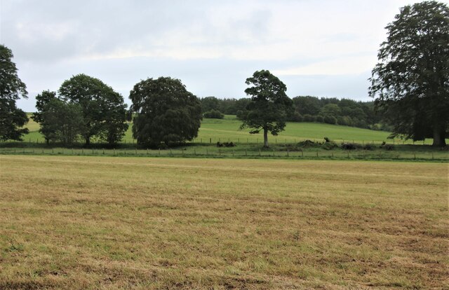
Bushby Hill is a prominent geographical feature located in the region of Ayrshire, Scotland. Situated near the town of Ayr, it stands as a captivating hill and mountain landscape. With an elevation of approximately 132 meters (433 feet), Bushby Hill offers breathtaking panoramic views of the surrounding countryside and the Ayrshire coast.
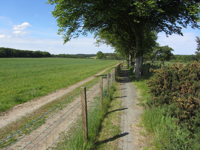
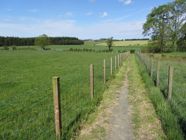
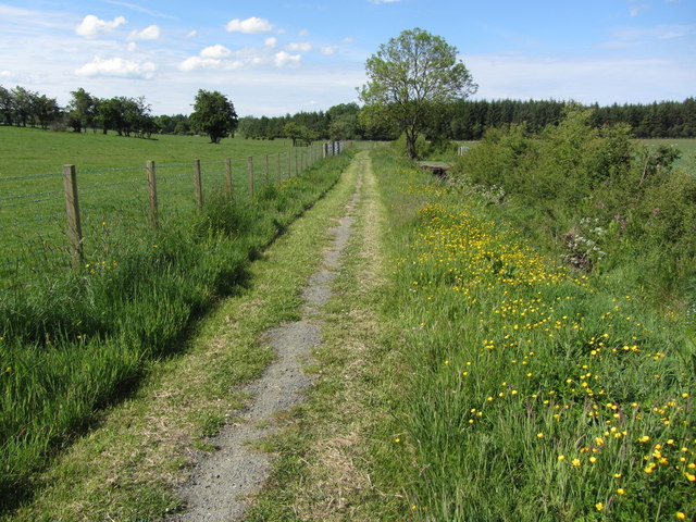
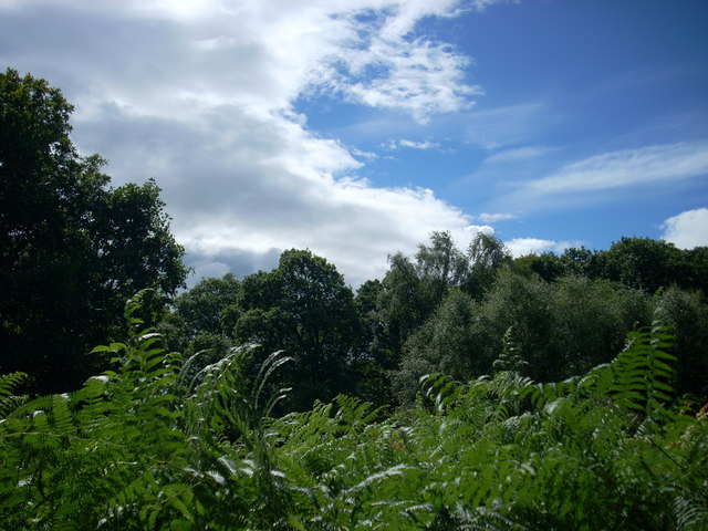
Covered in lush vegetation, the hill is home to a diverse range of flora and fauna, attracting nature enthusiasts and hikers alike. Its slopes are adorned with a variety of trees, including oak, beech, and birch, interspersed with vibrant wildflowers during the warmer months. The hill's verdant landscape provides a serene and tranquil environment for visitors to enjoy.
Bushby Hill is also known for its historical significance. It is believed to have been inhabited by humans since prehistoric times, with evidence of ancient settlements and burial mounds discovered in the vicinity. Remnants of these past civilizations can still be seen in the form of archaeological sites and artifacts, adding an extra layer of intrigue to the area.
For outdoor enthusiasts, Bushby Hill offers a range of recreational activities. Its well-maintained trails provide opportunities for hiking and walking, allowing visitors to explore the hill's diverse terrain at their own pace. The hill is also a popular spot for birdwatching, with numerous species of birds, including kestrels and buzzards, frequently sighted in the area.
Overall, Bushby Hill is not only a natural wonder but also a site of historical and ecological significance, making it a must-visit destination for those seeking a blend of natural beauty and cultural heritage in Ayrshire.
If you have any feedback on the listing, please let us know in the comments section below.
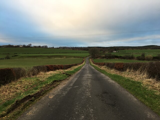
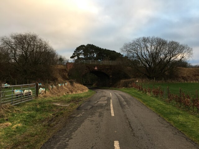
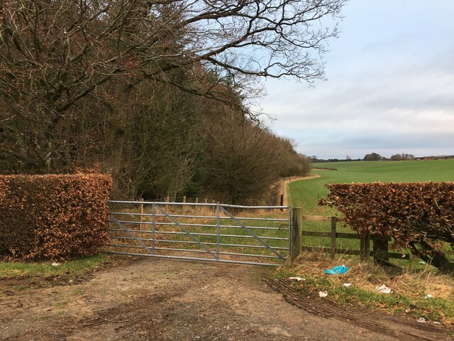
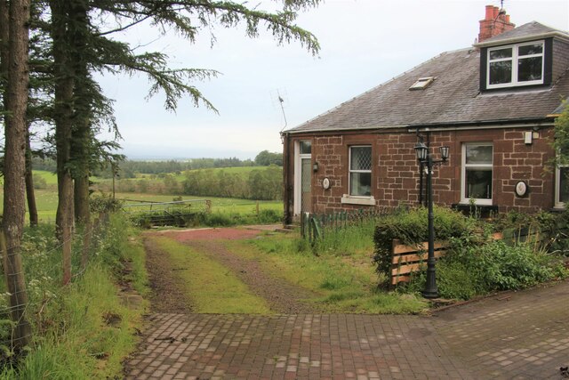
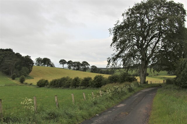
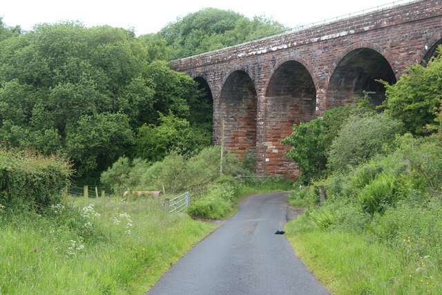
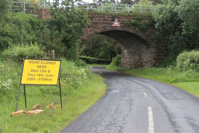
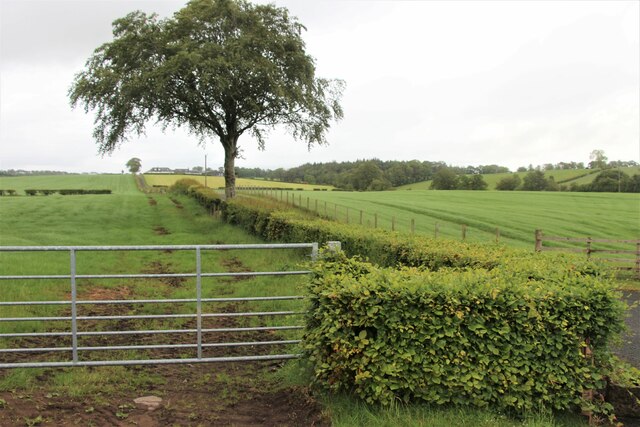
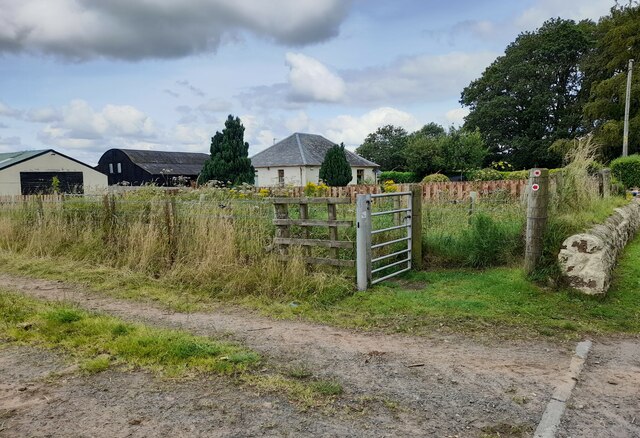
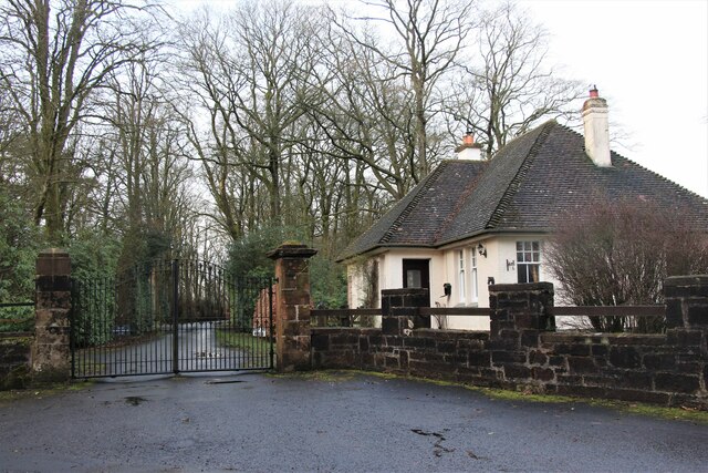
Bushby Hill Images
Images are sourced within 2km of 55.503499/-4.4163845 or Grid Reference NS4725. Thanks to Geograph Open Source API. All images are credited.

Bushby Hill is located at Grid Ref: NS4725 (Lat: 55.503499, Lng: -4.4163845)
Unitary Authority: South Ayrshire
Police Authority: Ayrshire
What 3 Words
///elated.afternoon.tagging. Near Mauchline, East Ayrshire
Nearby Locations
Related Wikis

Failford
Failford (Scots: Failfuird) is a hamlet in South Ayrshire, Scotland. It is 4 kilometres (2.5 mi) west of Mauchline, where the Water of Fail flows into...

Water of Fail
The Water of Fail, or River Fail, is a fast-flowing river in South Ayrshire, Scotland. It rises in the hills north of Tarbolton, flowing generally south...

Lugar Water
The Lugar Water, or River Lugar, is created by the confluence of the Bellow Water and the Glenmuir Water, just north of Lugar, both of which flow from...
Mauchline railway station
Mauchline railway station was a railway station serving the town of Mauchline, East Ayrshire, Scotland. The station was originally part of the Glasgow...
Nearby Amenities
Located within 500m of 55.503499,-4.4163845Have you been to Bushby Hill?
Leave your review of Bushby Hill below (or comments, questions and feedback).