Lockhartshill Plantation
Wood, Forest in Ayrshire
Scotland
Lockhartshill Plantation
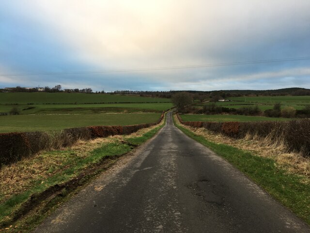
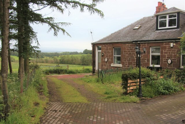
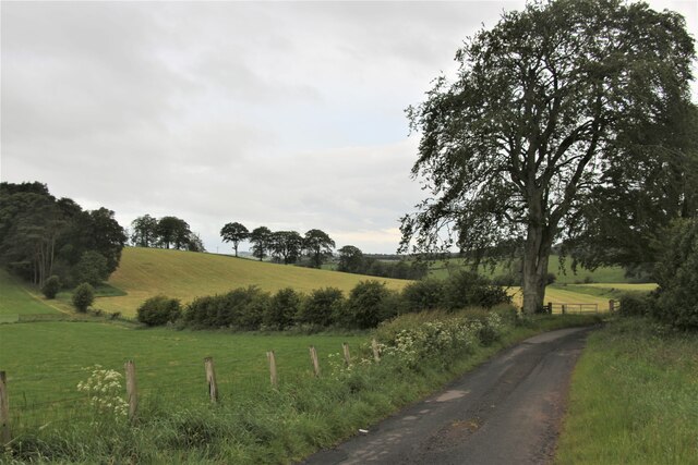
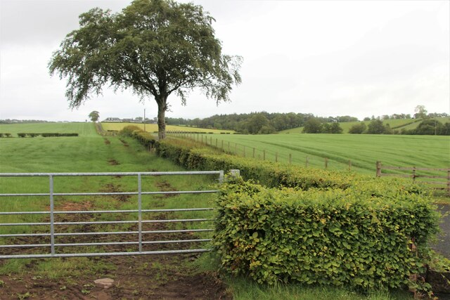
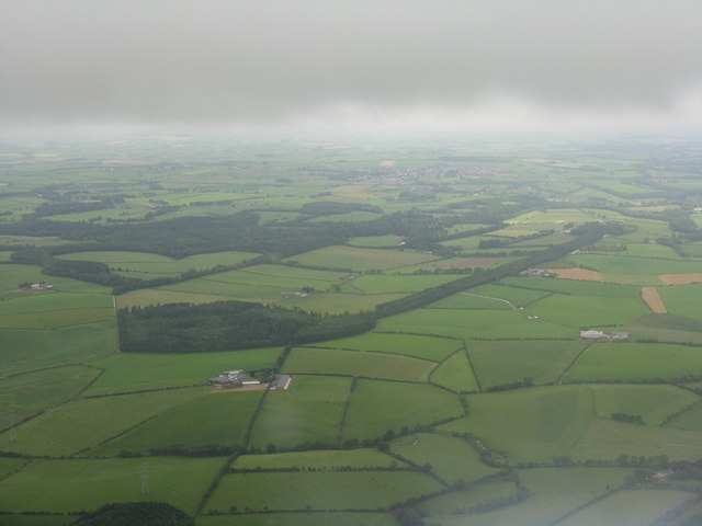
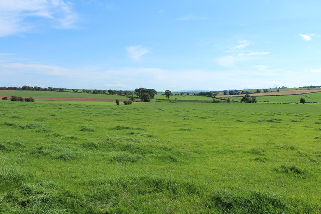
Lockhartshill Plantation is a renowned woodland area located in Ayrshire, Scotland. Covering an expansive area of lush greenery and diverse tree species, it is widely recognized as a significant natural resource in the region. The plantation is situated near the village of Symington, approximately 10 miles southeast of Ayr.
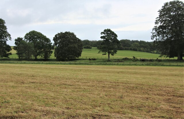
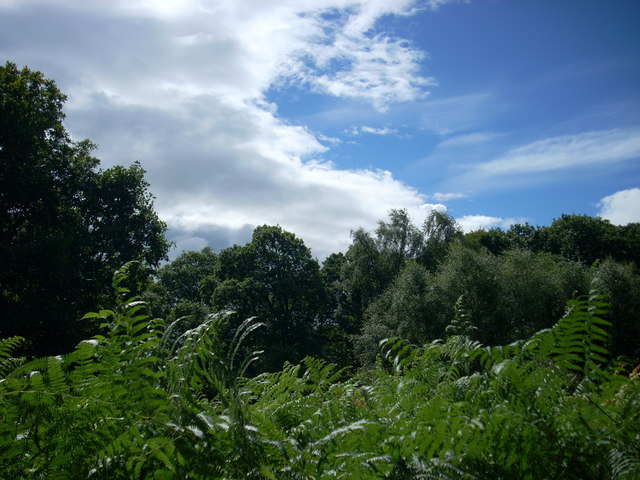
The woodland is primarily composed of coniferous trees, such as Scots pine, Sitka spruce, and Douglas fir. These tall and majestic evergreens provide a dense canopy that offers shade and shelter to a variety of wildlife species. The thick undergrowth consists of ferns, mosses, and wildflowers, adding to the overall biodiversity of the area.
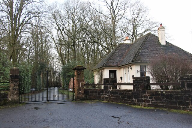
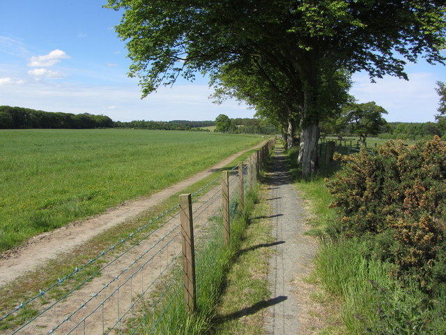
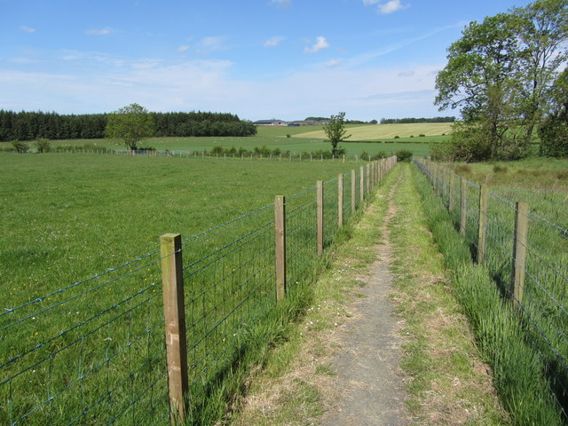
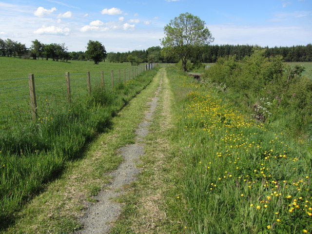
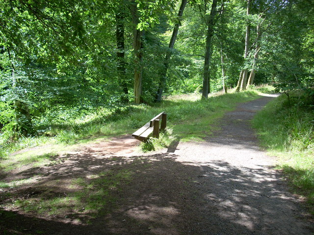
Lockhartshill Plantation is a popular destination for nature enthusiasts, hikers, and birdwatchers. The well-maintained trails that meander through the woodland allow visitors to explore its beauty while enjoying the peaceful ambiance. The plantation also boasts a diverse range of bird species, including woodpeckers, owls, and various songbirds, making it a haven for birdwatchers.
The site is managed by local authorities and conservation organizations, ensuring the protection and preservation of its natural habitat. Sustainable practices, such as selective logging and tree planting, are implemented to maintain the health and longevity of the woodland.
Lockhartshill Plantation offers a serene and tranquil escape from the hustle and bustle of everyday life. Its scenic beauty, diverse flora and fauna, and well-maintained trails make it a must-visit destination for nature lovers and those seeking a peaceful retreat in the heart of Ayrshire.
If you have any feedback on the listing, please let us know in the comments section below.
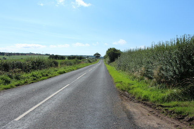
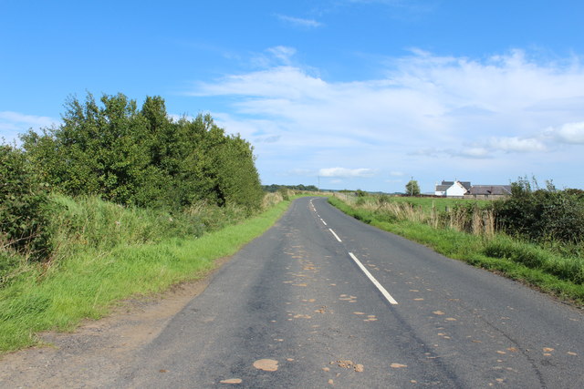
Lockhartshill Plantation Images
Images are sourced within 2km of 55.497172/-4.4163294 or Grid Reference NS4725. Thanks to Geograph Open Source API. All images are credited.

Lockhartshill Plantation is located at Grid Ref: NS4725 (Lat: 55.497172, Lng: -4.4163294)
Unitary Authority: East Ayrshire
Police Authority: Ayrshire
What 3 Words
///wreck.upholds.quench. Near Mauchline, East Ayrshire
Nearby Locations
Related Wikis

Failford
Failford (Scots: Failfuird) is a hamlet in South Ayrshire, Scotland. It is 4 kilometres (2.5 mi) west of Mauchline, where the Water of Fail flows into...

Water of Fail
The Water of Fail, or River Fail, is a fast-flowing river in South Ayrshire, Scotland. It rises in the hills north of Tarbolton, flowing generally south...

Lugar Water
The Lugar Water, or River Lugar, is created by the confluence of the Bellow Water and the Glenmuir Water, just north of Lugar, both of which flow from...
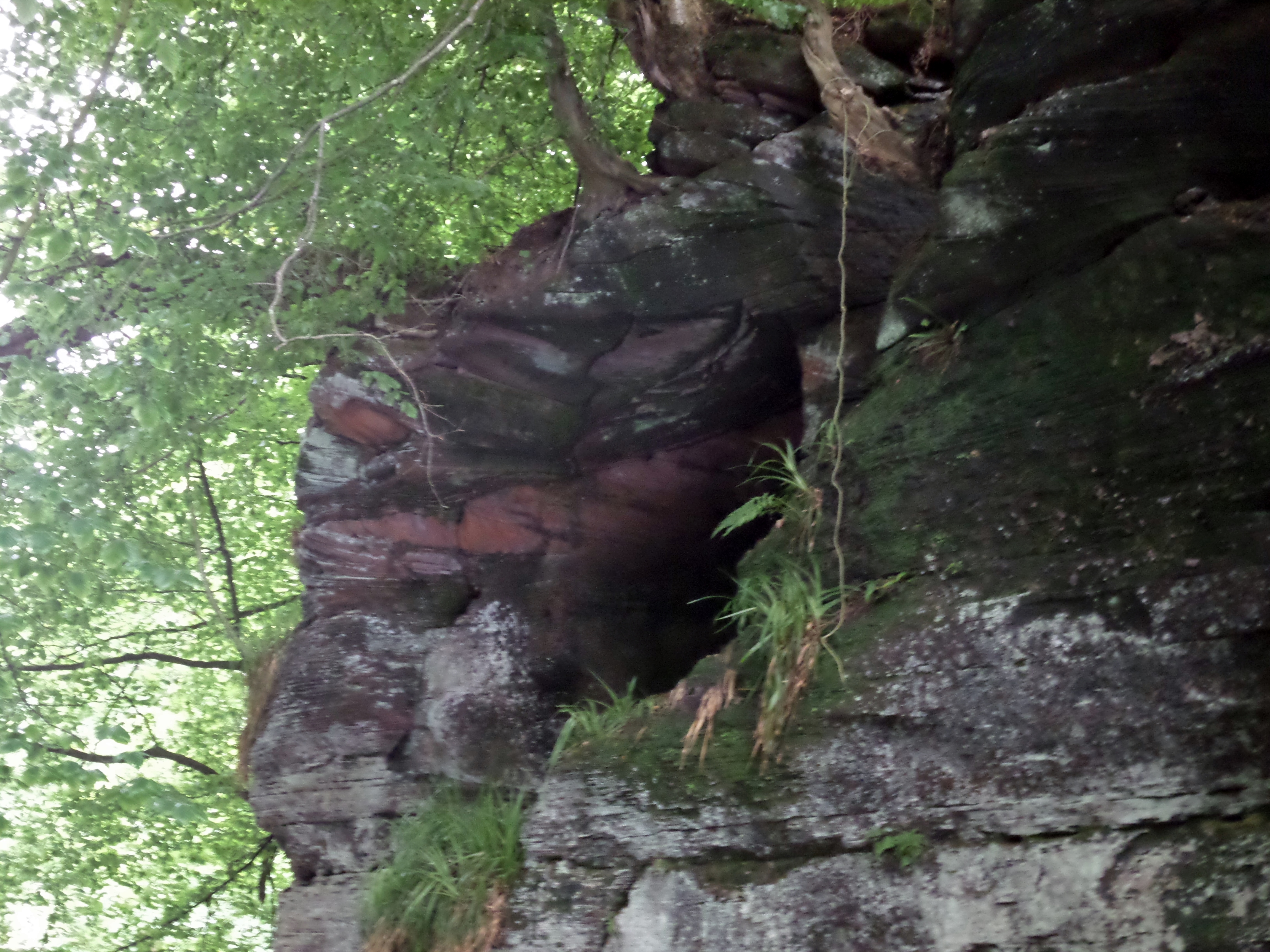
Peden's Cave (Auchinbay)
Peden's Cave is at least partly artificial and is set into a craggy outcrop of red sandstone rocks overlooking the River Lugar just below the farm of Auchinbay...
Have you been to Lockhartshill Plantation?
Leave your review of Lockhartshill Plantation below (or comments, questions and feedback).