Garn Bentyrch
Hill, Mountain in Caernarfonshire
Wales
Garn Bentyrch
Garn Bentyrch is a prominent hill located in the county of Caernarfonshire, Wales. It lies within the Snowdonia National Park, approximately 6 kilometers northeast of the town of Beddgelert. With an elevation of 642 meters (2,106 feet), it is classified as a mountain rather than a hill.
The summit of Garn Bentyrch offers breathtaking panoramic views of the surrounding landscape, including the nearby peaks of Snowdon and Moel Hebog. The hill is renowned for its rugged and rocky terrain, attracting outdoor enthusiasts and hikers who enjoy the challenge of its steep slopes.
The ascent to the summit can be approached from various directions, with a popular starting point being the picturesque village of Rhyd Ddu. From here, a well-defined footpath leads walkers through heather-clad slopes and up the rocky ridge to the top. The hike offers a rewarding experience, showcasing the beauty of the Welsh countryside with its diverse flora and fauna.
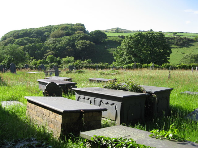
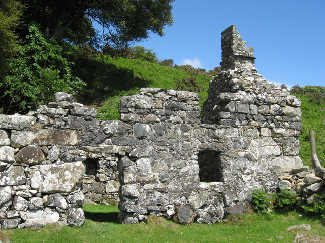
Garn Bentyrch also holds historical significance, as it was once a slate quarrying area during the 19th century. The remains of old quarry buildings and machinery can still be seen on the hillside, serving as a reminder of the region's industrial past.
Overall, Garn Bentyrch is a striking mountain that offers both natural beauty and a glimpse into the area's history. Its challenging trails and stunning vistas make it a popular destination for outdoor enthusiasts and nature lovers visiting Caernarfonshire.
If you have any feedback on the listing, please let us know in the comments section below.
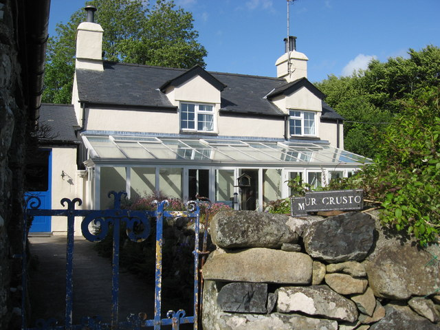
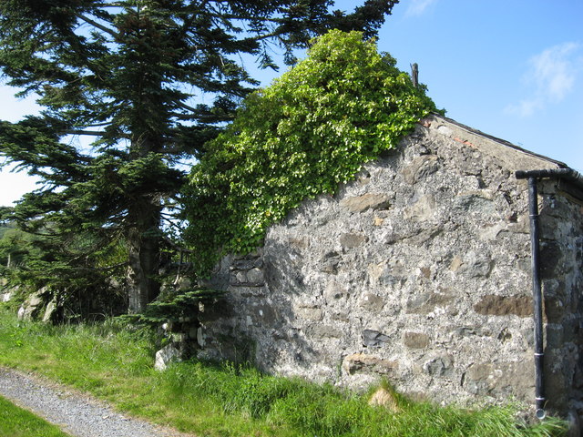
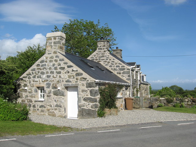
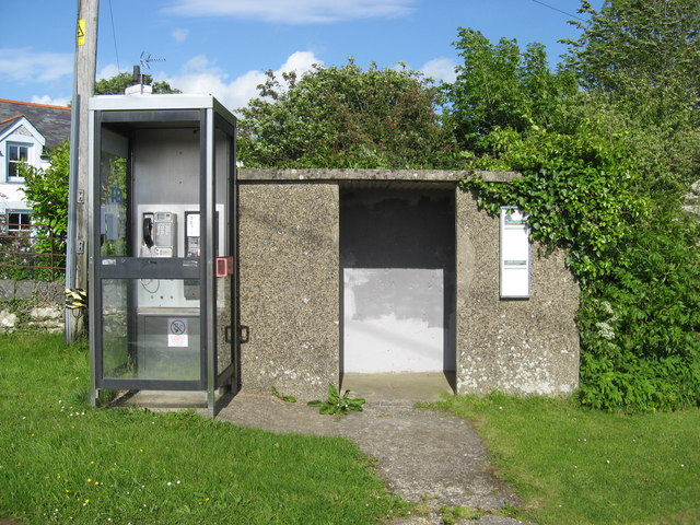
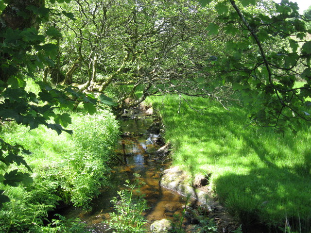
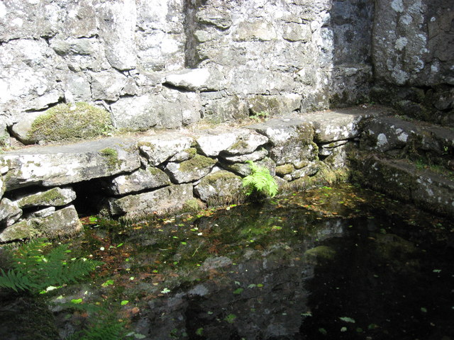
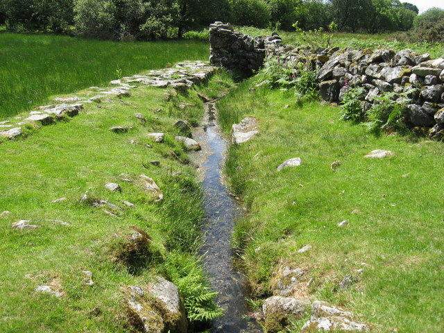
Garn Bentyrch Images
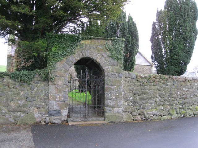
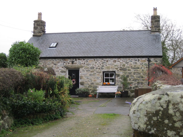
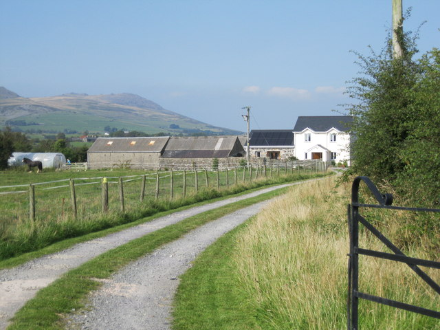
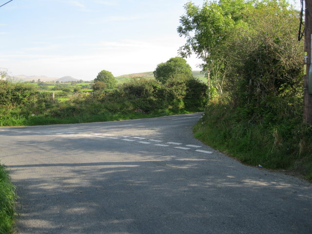
Images are sourced within 2km of 52.951411/-4.3499596 or Grid Reference SH4241. Thanks to Geograph Open Source API. All images are credited.

Garn Bentyrch is located at Grid Ref: SH4241 (Lat: 52.951411, Lng: -4.3499596)
Unitary Authority: Gwynedd
Police Authority: North Wales
What 3 Words
///junction.described.spinners. Near Pwllheli, Gwynedd
Nearby Locations
Related Wikis

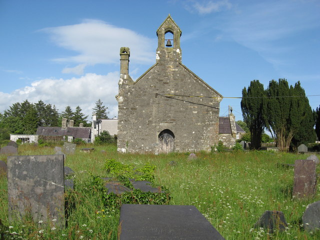
Llangybi, Gwynedd
Llangybi (English: Cybi's Church) is a village and former civil parish in the Eifionydd area of the Welsh county of Gwynedd, near Llanarmon. The parish...

1984 Llŷn Peninsula earthquake
The 1984 Llŷn Peninsula earthquake struck the Llŷn Peninsula in Gwynedd, northwest Wales on Thursday 19 July 1984 at 06:56 UTC (07:56 BST). Measuring 5...

Llanarmon, Gwynedd
Llanarmon (Welsh for 'Garmon's Church') is a small village and former civil parish in the old commote of Eifionydd and Cantref Dunoding in the Welsh county...
Llangybi railway station (Gwynedd)
Llangybi was a railway station located some distance from Llangybi, Gwynedd, Wales. The station was isolated and lightly used, but it had two platforms...

Chwilog railway station
Chwilog railway station served the village of Chwilog, Gwynedd, Wales. It was opened in 1867 by the Carnarvonshire Railway, who were subsequently taken...

Y Ffôr
Y Ffôr is a Welsh village located on the Llŷn Peninsula in the county of Gwynedd. == History == Settlement at Y Ffôr dates back to the Stone Age, but the...

Chwilog
Chwilog is a village in Gwynedd, north Wales, and located on the Llŷn Peninsula. It is in the community of Llanystumdwy, near Criccieth, and in the medieval...

Caernarfon (Assembly constituency)
Caernarfon was a constituency of the National Assembly for Wales from 1999 to 2007. It was one of nine constituencies in the North Wales electoral region...
Nearby Amenities
Located within 500m of 52.951411,-4.3499596Have you been to Garn Bentyrch?
Leave your review of Garn Bentyrch below (or comments, questions and feedback).