Carn Bentyrch

Heritage Site in Caernarfonshire

Wales

Carn Bentyrch

Mur Crusto Farmhouse, Llangybi
Mur Crusto Farmhouse, Llangybi Credit: Dr Duncan Pepper

Carn Bentyrch is a significant heritage site located in the county of Caernarfonshire, Wales. Situated in the Snowdonia National Park, this ancient monument holds great historical and cultural importance.

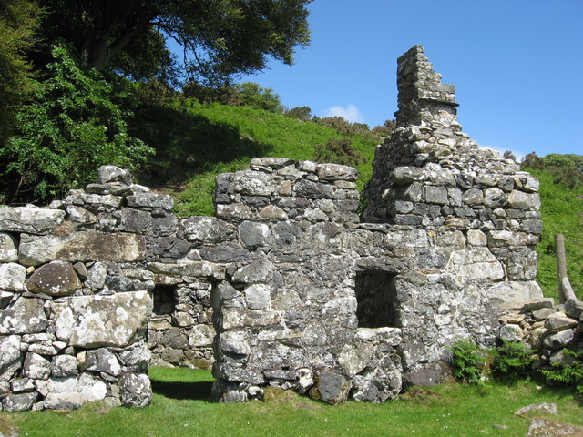
Carn Bentyrch is an Iron Age hillfort, dating back to around 500 BC. It sits on the summit of a hill, providing breathtaking panoramic views of the surrounding landscape. The fortification covers an area of approximately 1.5 hectares and is enclosed by a series of impressive stone walls, some of which still remain intact. These walls, built using dry-stone construction techniques, showcase the impressive engineering skills of the Iron Age inhabitants.

The site is believed to have been occupied for several centuries, serving as a stronghold and a settlement for the local community. Archaeological excavations have unearthed artifacts such as pottery, tools, and animal bones, providing valuable insights into the daily life and activities of the people who once lived here.

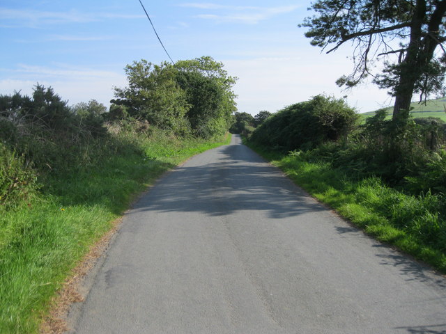
Today, Carn Bentyrch is a popular destination for history enthusiasts, archaeologists, and hikers. Visitors can explore the ruins of the hillfort, marvel at the stunning views, and imagine what life may have been like in this ancient settlement. The site is easily accessible by foot, with well-maintained trails leading up the hill. Interpretive signs and information boards provide further context and details about the site's significance.

Carn Bentyrch stands as a testament to the rich cultural heritage of Caernarfonshire and serves as a reminder of the region's ancient past.

If you have any feedback on the listing, please let us know in the comments section below.

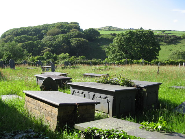
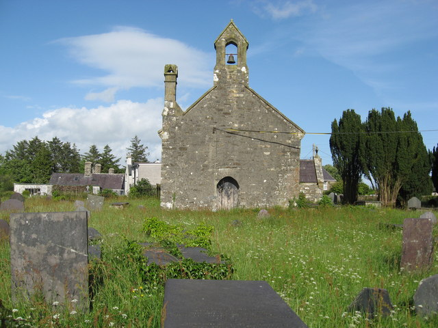
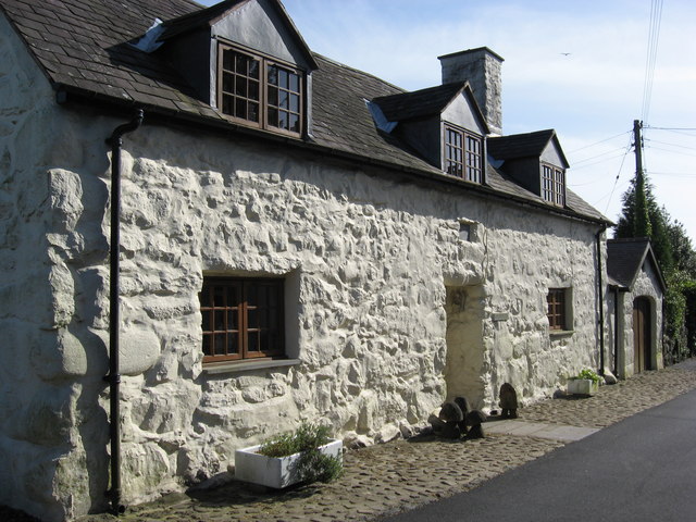
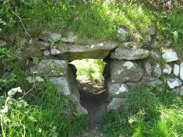
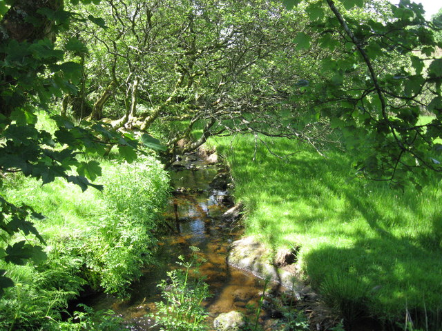
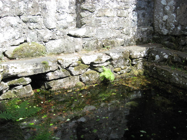
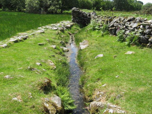
Carn Bentyrch Images

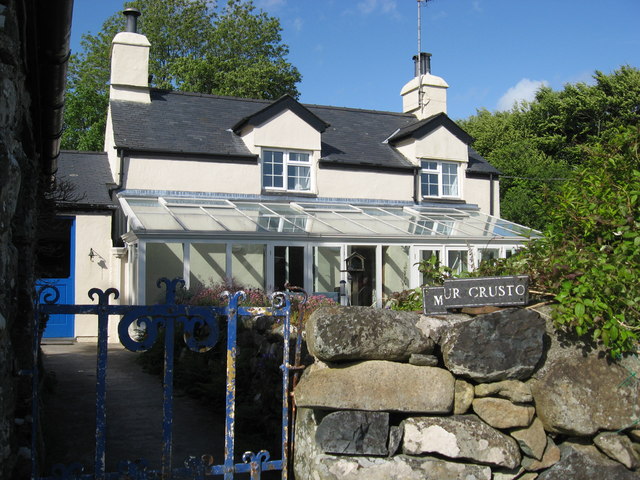
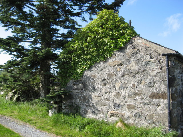
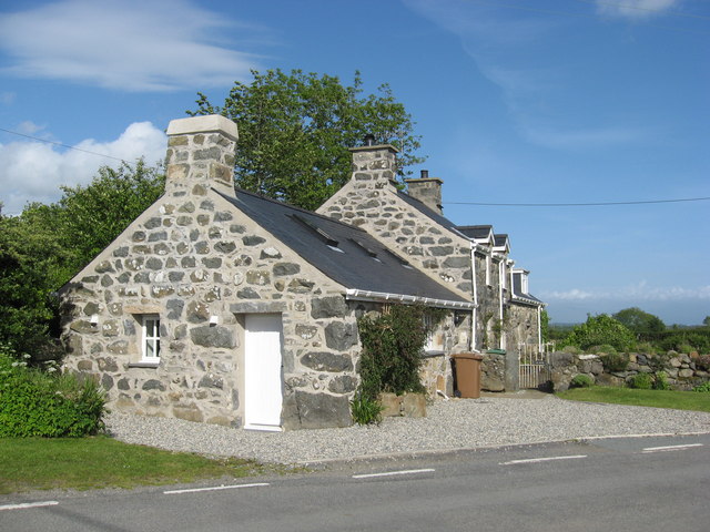
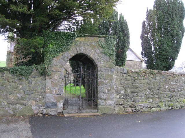
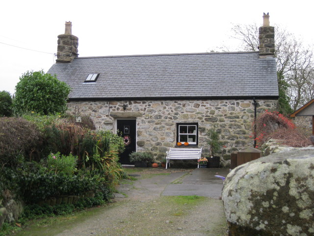
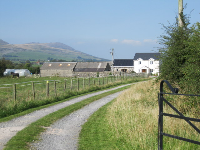
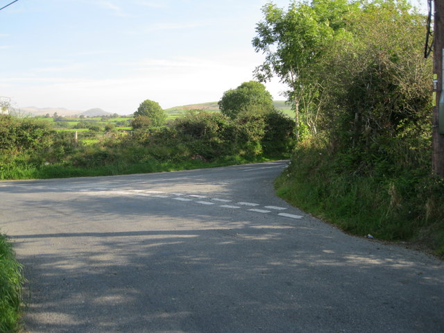
Images are sourced within 2km of 52.947/-4.343 or Grid Reference SH4241. Thanks to Geograph Open Source API. All images are credited.

Mur Crusto Farmhouse, Llangybi
Former farm building now used as a store house Also has swallows nesting inside.
Former farm building now used as a store house
Also has swallows nesting inside.
Former forge at Llangybi, now a private dwelling
BT Phonebox and adjacent bus shelter at Llangybi Two buses a day-if you are lucky, otherwise none.
BT Phonebox and adjacent bus shelter at Llangybi
Two buses a day-if you are lucky, otherwise none.
Slate topped graves in the churchyard of St Cybi's church in Llangybi
St Cybi's church Llangybi
Vernacular housing in Llangybi
Sheep may safely pass-but not cattle A simple but effective low tech way of allowing sheep through a stone fence but not cattle.
Sheep may safely pass-but not cattle
A simple but effective low tech way of allowing sheep through a stone fence but not cattle.
The stream running through the valley at St Cybi's Well Looking upstream.
The stream running through the valley at St Cybi's Well
Looking upstream.
The stream that runs through the valley at St Cybi's Well Looking downstream.
The stream that runs through the valley at St Cybi's Well
Looking downstream.
The former patients' accommodation for the sick attending St Cybi's Well A considerably more recent addition to the early well enclosure.
The former patients' accommodation for the sick attending St Cybi's Well
A considerably more recent addition to the early well enclosure.
St Cybi's Well A pre-Christian 6th century enclosed well having alleged healing properties. The water tastes quite nice too.
St Cybi's Well
A pre-Christian 6th century enclosed well having alleged healing properties. The water tastes quite nice too.
The outflowing stream from St Cybi's Well Showing the raised stone causeway that leads over the marshy land to the toilet enclosure in the distance.
The outflowing stream from St Cybi's Well
Showing the raised stone causeway that leads over the marshy land to the toilet enclosure in the distance.
Porth Mynwent Eglwys S Cybi - Lychgate of church of St Cybi The lychgate and churchyard wall to <a href="https://www.geograph.org.uk/photo/575627">SH4241 : Eglwys Sant Cybi Llangybi</a>
Porth Mynwent Eglwys S Cybi - Lychgate of church of St Cybi
The lychgate and churchyard wall to SH4241 : Eglwys Sant Cybi Llangybi
Castell An ancient cottage in the centre of the village.
Castell
An ancient cottage in the centre of the village.
Ty'n Lôn Isaf
Ty'n Lôn Isaf
Cyffordd - Road junction On the road to Pencaenewydd. The road to the right leads to Llangybi.
Cyffordd - Road junction
On the road to Pencaenewydd. The road to the right leads to Llangybi.
Ffordd i Sardis - Road to Sardis
Show me another place!

Carn Bentyrch is located at Grid Ref: SH4241 (Lat: 52.947, Lng: -4.343)

Unitary Authority: Gwynedd

Police Authority: North Wales

What 3 Words

///remembers.stew.flicked. Near Pwllheli, Gwynedd

Related Wikis

Llangybi, Gwynedd

Llangybi (English: Cybi's Church) is a village and former civil parish in the Eifionydd area of the Welsh county of Gwynedd, near Llanarmon. The parish...

Llanarmon, Gwynedd

Llanarmon (Welsh for 'Garmon's Church') is a small village and former civil parish in the old commote of Eifionydd and Cantref Dunoding in the Welsh county...

Llangybi railway station (Gwynedd)

Llangybi was a railway station located some distance from Llangybi, Gwynedd, Wales. The station was isolated and lightly used, but it had two platforms...

1984 Llŷn Peninsula earthquake

The 1984 Llŷn Peninsula earthquake struck the Llŷn Peninsula in Gwynedd, northwest Wales on Thursday 19 July 1984 at 06:56 UTC (07:56 BST). Measuring 5...

Chwilog railway station

Chwilog railway station served the village of Chwilog, Gwynedd, Wales. It was opened in 1867 by the Carnarvonshire Railway, who were subsequently taken...

Chwilog

Chwilog is a village in Gwynedd, north Wales, and located on the Llŷn Peninsula. It is in the community of Llanystumdwy, near Criccieth, and in the medieval...

Butlin's Pwllheli

Butlin's Pwllheli (latterly Starcoast World then Hafan Y Môr after Haven Holidays took the site) was a holiday camp located near Pwllheli in Wales. The...

Y Ffôr

Y Ffôr is a Welsh village located on the Llŷn Peninsula in the county of Gwynedd. == History == Settlement at Y Ffôr dates back to the Stone Age, but the...

Nearby Amenities

Located within 500m of 52.947,-4.343
Llangybi
Is In: Gwynedd,UK
Place: village
Source: NPE
Wikidata: Q1866840
Lat/Long: 52.9444797/-4.3386378
St Cybi's Well
Information: board
Tourism: information
Lat/Long: 52.9453921/-4.341727
Barrier: kissing_gate
Bicycle: no
Foot: yes
Material: metal
Lat/Long: 52.9448934/-4.3409618
Barrier: kissing_gate
Bicycle: no
Foot: yes
Material: metal
Lat/Long: 52.945398/-4.3416979
Shelter
Shelter Type: public_transport
Lat/Long: 52.9434074/-4.3415819
Telephone
Defibrillator
Booth: KX100
Covered: booth
Defibrillator Location: inside telephone box, Llangybi
Emergency: defibrillator
Man Made: telephone_box
Lat/Long: 52.943428/-4.3416061
Pentyrch
Ele: 222
Man Made: survey_point
Ref: S8323
Survey Point Structure: pillar
Lat/Long: 52.9504215/-4.3472636
The data included in this document is from www.openstreetmap.org. The data is made available under ODbL.

Have you been to Carn Bentyrch?

Leave your review of Carn Bentyrch below (or comments, questions and feedback).