An Garadh
Hill, Mountain in Perthshire
Scotland
An Garadh
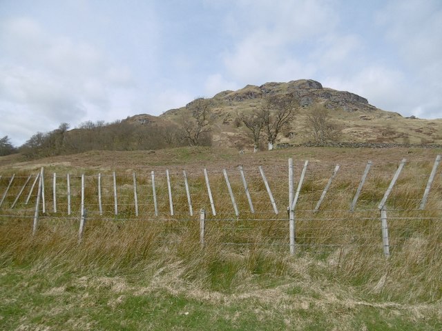
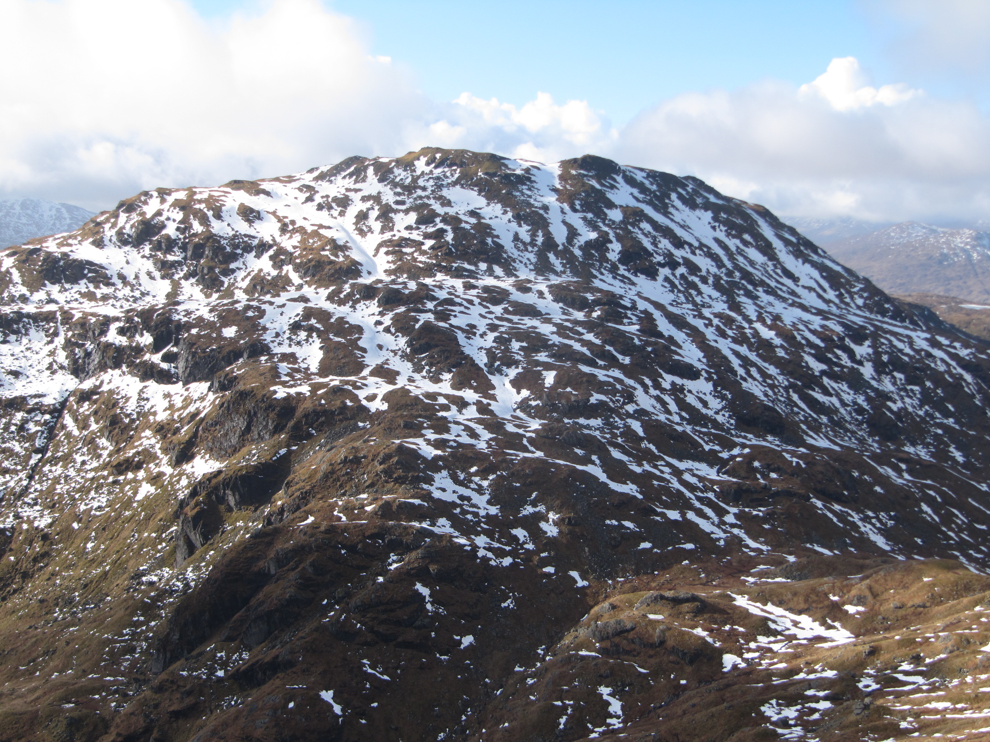
An Garadh, located in Perthshire, Scotland, is a prominent hill or mountain in the area. Standing at an elevation of approximately 804 meters (2638 feet), it is a popular destination for hikers, nature enthusiasts, and mountaineers. The name "An Garadh" translates to "The Garden" in Scottish Gaelic, reflecting the area's beauty and natural richness.
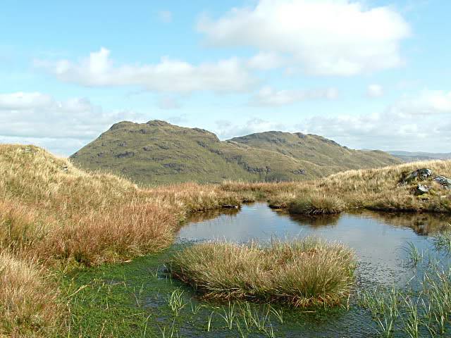
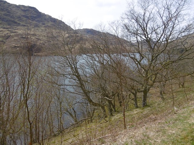
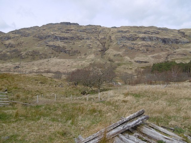
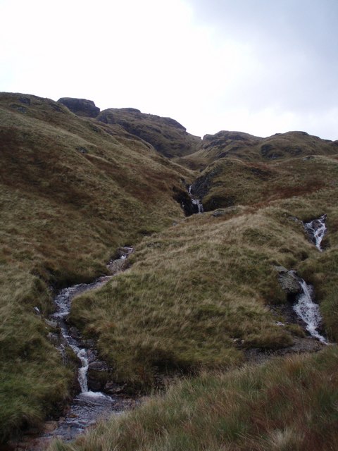
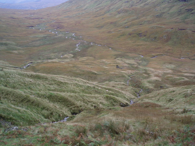
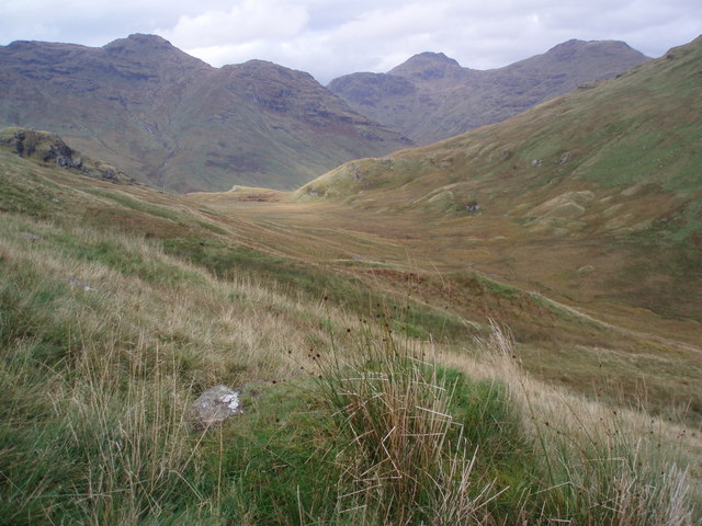
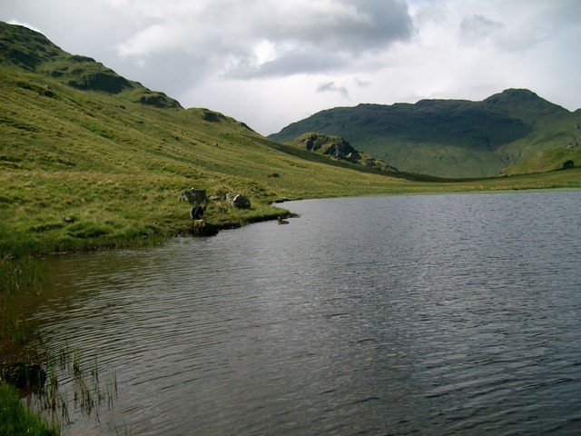
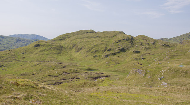
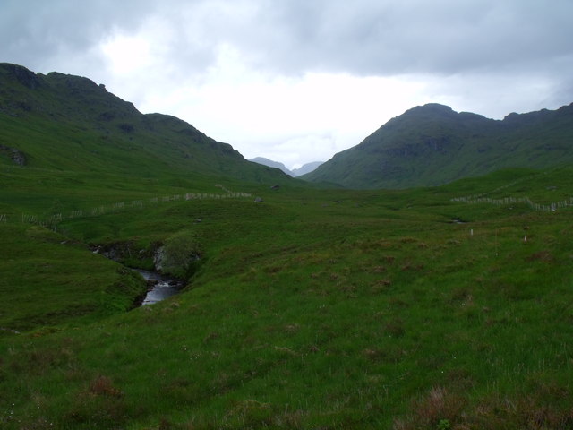
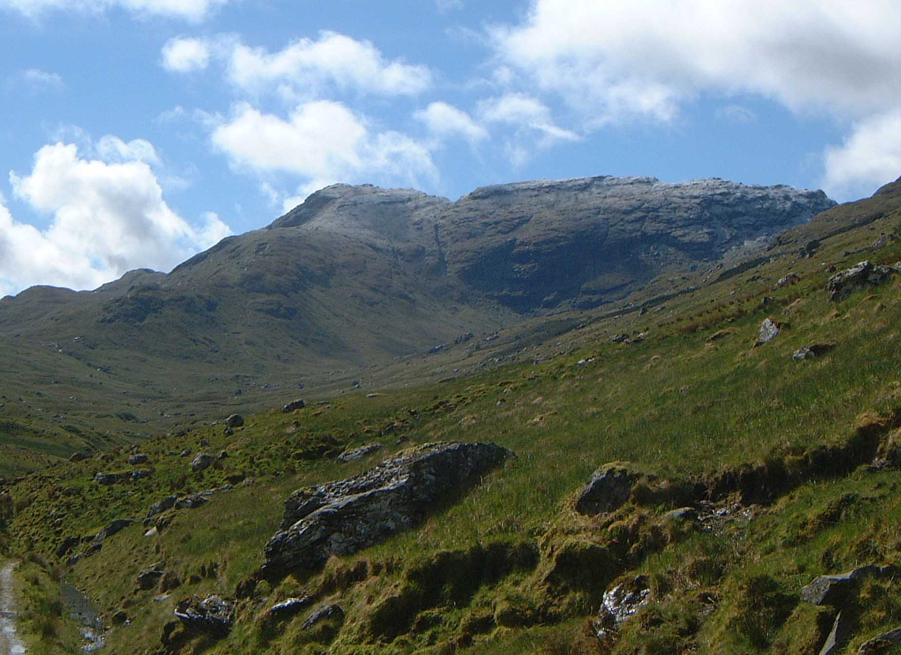
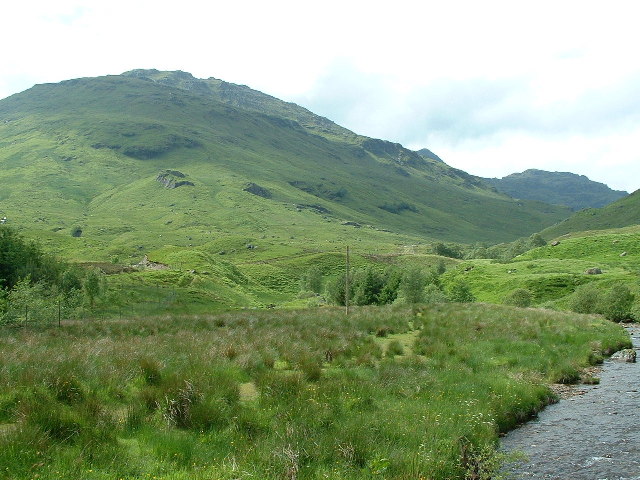
The hill/mountain boasts stunning panoramic views of the surrounding landscape, including rolling green hills, glens, and lochs. It is situated in the southern part of Perthshire, near the town of Blairgowrie and the Cairngorms National Park. An Garadh is part of the Grampian Mountains range, which stretches across the eastern part of Scotland.
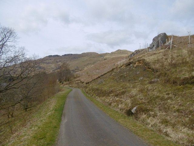
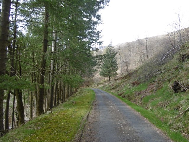
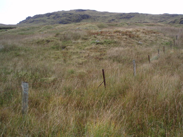
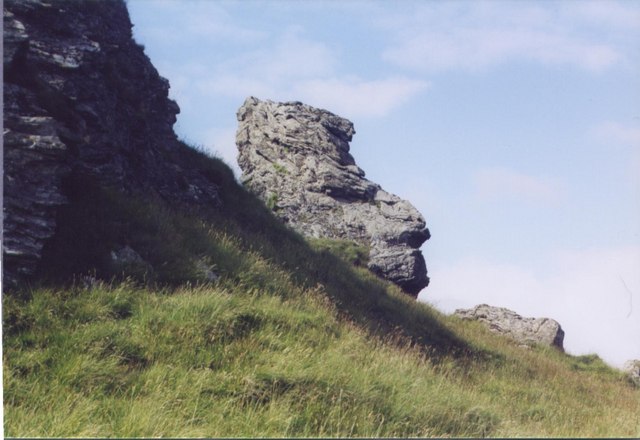
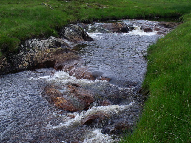
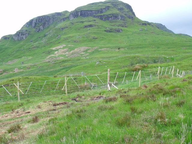
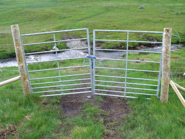
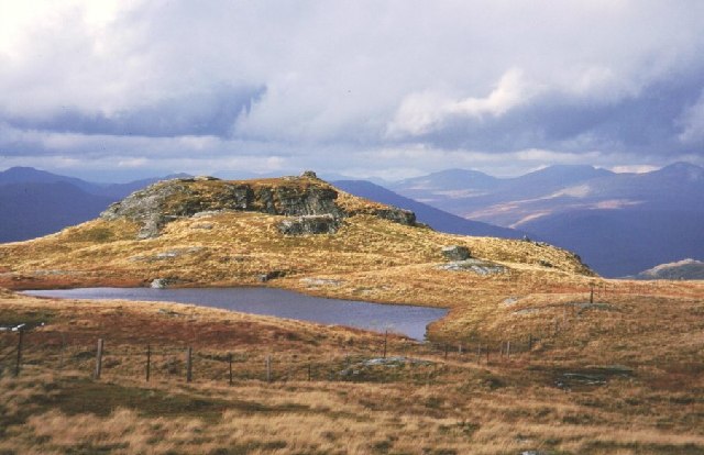
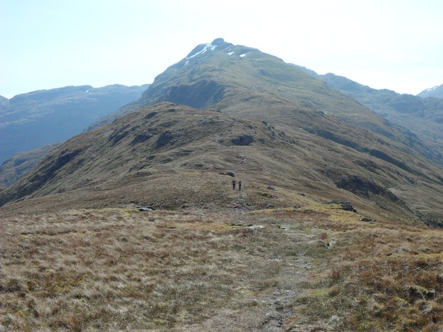
The terrain of An Garadh is characterized by rocky slopes, heather-covered moorland, and patches of native woodland. It offers various walking and hiking routes, catering to different levels of difficulty and fitness. Some trails lead to the summit, providing a challenging yet rewarding experience for experienced climbers. Along the way, visitors can spot a variety of wildlife, such as red deer, mountain hares, and various bird species.
Due to its location and elevation, the weather on An Garadh can be unpredictable and change rapidly. It is advisable for visitors to check weather conditions beforehand and come prepared with appropriate clothing and equipment. Additionally, respecting the natural environment and following the Scottish Outdoor Access Code is essential to preserve the beauty of An Garadh for future generations.
If you have any feedback on the listing, please let us know in the comments section below.
An Garadh Images
Images are sourced within 2km of 56.293899/-4.5795935 or Grid Reference NN4014. Thanks to Geograph Open Source API. All images are credited.
An Garadh is located at Grid Ref: NN4014 (Lat: 56.293899, Lng: -4.5795935)
Unitary Authority: Stirling
Police Authority: Forth Valley
What 3 Words
///wire.originate.pushy. Near Tyndrum, Stirling
Nearby Locations
Related Wikis

Stob a' Choin
Stob a'Choin (869 m) is a mountain in the Grampian Mountains, Scotland, north of Loch Katrine in the Loch Lomond and The Trossachs National Park. The nearest...

Meall Mor (Loch Katrine)
Meall Mor (747 m) is a mountain in the Grampian Mountains of Scotland. It lies in the Stirling region, on the northern side of Loch Katrine in the Trossachs...
Beinn a' Chroin
Beinn a' Chroin is a mountain in the Breadalbane region of the Scottish Highlands, six kilometres south of Crianlarich. With a height of 941 metres (3...
Beinn a' Chòin
Beinn a' Choin (769 m) is a mountain in the Grampian Mountains of Scotland. It lies on the border of the Stirling region and Argyll at the northern end...
Beinn Chabhair
Beinn Chabhair (Gaelic: Beinn a' Chabhair) is a Scottish mountain. It has fine views down to Loch Lomond. A common approach is from Inverarnan, up a steep...

Loch Lomond and The Trossachs National Park
Loch Lomond and The Trossachs National Park (Scottish Gaelic: Pàirc Nàiseanta Loch Laomainn is nan Tròisichean) is a national park in Scotland centred...
Beinn Tulaichean
Beinn Tulaichean is a Scottish mountain. It is not much more than the southern top of Cruach Ardrain, with a descent of only 120m before the ascent to...
An Caisteal
An Caisteal (Scottish Gaelic for 'the castle') is a mountain in the Breadalbane region of the Scottish Highlands, south of the village of Crianlarich....
Nearby Amenities
Located within 500m of 56.293899,-4.5795935Have you been to An Garadh?
Leave your review of An Garadh below (or comments, questions and feedback).