Mill Hill

Hill, Mountain in Wigtownshire

Scotland

Mill Hill

Fork in the road at Barlaughan
Fork in the road at Barlaughan Credit: Mark McKie

Mill Hill in Wigtownshire is a prominent hill located in southwestern Scotland. It is known for its stunning views and natural beauty, making it a popular destination for hikers and nature enthusiasts. The hill stands at an elevation of approximately 253 meters (830 feet) above sea level, offering panoramic vistas of the surrounding countryside and coastline.

Mill Hill is characterized by its rolling green slopes and rocky outcrops, creating a picturesque landscape that is rich in biodiversity. The hill is home to a variety of plant and animal species, including heather, gorse, and various birds of prey.

Visitors to Mill Hill can enjoy a leisurely hike to the summit, where they can take in the breathtaking scenery and enjoy a sense of tranquility and solitude. The hill is also a great spot for birdwatching and photography, with opportunities to capture stunning sunsets and wildlife in their natural habitat.

Overall, Mill Hill in Wigtownshire is a hidden gem in Scotland that offers a peaceful retreat for those looking to connect with nature and escape the hustle and bustle of everyday life.

If you have any feedback on the listing, please let us know in the comments section below.
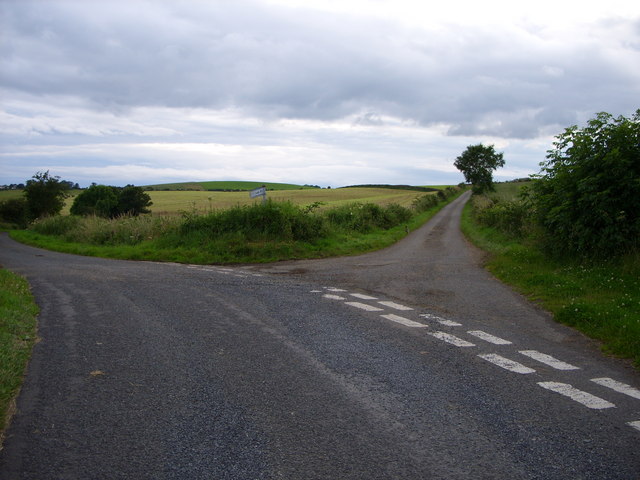
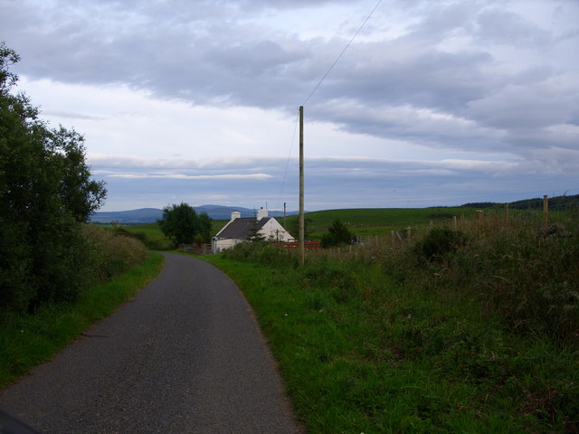
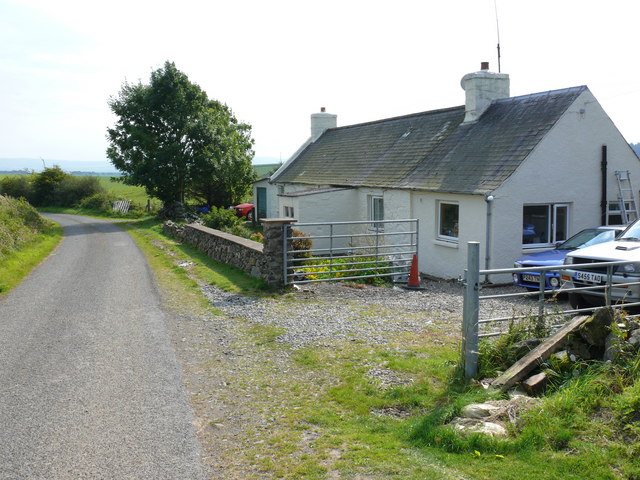
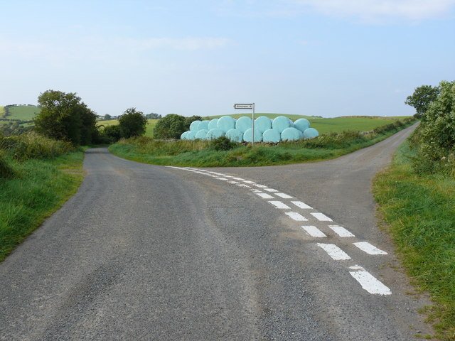
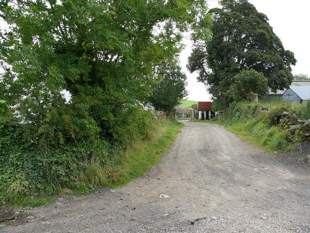
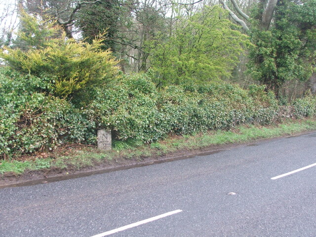
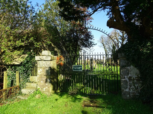
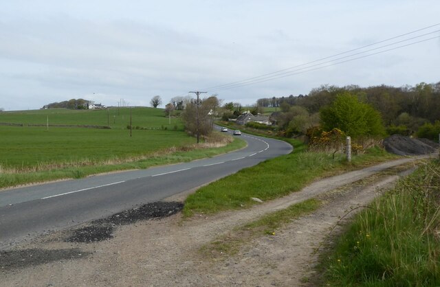
Mill Hill Images

Images are sourced within 2km of 54.911755/-4.4904568 or Grid Reference NX4060. Thanks to Geograph Open Source API. All images are credited.

Fork in the road at Barlaughan
Cottage just past Barvennan Farm
Barvennan Cottage View of this cottage on an unnamed road between the A714 and the B733.
Barvennan Cottage
View of this cottage on an unnamed road between the A714 and the B733.
Bishop Hill View of this hill from Barvennan Cottage.
Bishop Hill
View of this hill from Barvennan Cottage.
Barvennan View along this unnamed road towards the farm.
Barvennan
View along this unnamed road towards the farm.
Barvennan Cottage This track leads from the side of the cottage to Wood Fell.
Barvennan Cottage
This track leads from the side of the cottage to Wood Fell.
Barvennan Cottage View along this unnamed road towards the A714 with the Galloway Hills in the background.
Barvennan Cottage
View along this unnamed road towards the A714 with the Galloway Hills in the background.
Rolland Hill This road junction near to the hill leads right to Barlauchlan and left down to the B733 and onwards to Kirkcowan or Wigtown.
Rolland Hill
This road junction near to the hill leads right to Barlauchlan and left down to the B733 and onwards to Kirkcowan or Wigtown.
Rolland Hill The road at this point runs past the hill right of picture down to the A714 Wigtown to Newton Stewart road.
Rolland Hill
The road at this point runs past the hill right of picture down to the A714 Wigtown to Newton Stewart road.
Rolland Hill View over open farmland to Drumwhirns Hill and Wood Fell forest on the horizon.
Rolland Hill
View over open farmland to Drumwhirns Hill and Wood Fell forest on the horizon.
Rolland Hill View along the hedgerow and fields. Benna Hill with its line of trees across the middle is near centre of the picture and the edge of Wood Fell can be seen left.
Rolland Hill
View along the hedgerow and fields. Benna Hill with its line of trees across the middle is near centre of the picture and the edge of Wood Fell can be seen left.
Rolland Hill View across open fields which includes a picture of the farmer wrapping hay on a Sunday before the rain comes (which it did the next day). It's all about the weather in the fields.
Rolland Hill
View across open fields which includes a picture of the farmer wrapping hay on a Sunday before the rain comes (which it did the next day). It's all about the weather in the fields.
Barvennan Farm View of the access road to this farm.
Barvennan Farm
View of the access road to this farm.
Viewhills Barvennan View over farm land towards Benna Hill left of picture. The sign says Viewhills Barvennan which is a neighbouring farm to Barvennan Farm.
Viewhills Barvennan
View over farm land towards Benna Hill left of picture. The sign says Viewhills Barvennan which is a neighbouring farm to Barvennan Farm.
Old milestone This milestone sits on the very narrow verge near Clary Cottage.   W/arrow pointing to left/4 on the right face of this quadrant shaped stone.
Old milestone
This milestone sits on the very narrow verge near Clary Cottage. W/arrow pointing to left/4 on the right face of this quadrant shaped stone.
Clachan of Penninghame The gates at Clachan of Penninghame kirkyard.
Clachan of Penninghame
The gates at Clachan of Penninghame kirkyard.
A714 Heading towards Causeway End Leaving a layby after realignment.
A714 Heading towards Causeway End
Leaving a layby after realignment.
Old milestone 4 miles from Newton Stewart, 3 to Wigtown, another of the quadrant shaped milestones on this route.
Old milestone
4 miles from Newton Stewart, 3 to Wigtown, another of the quadrant shaped milestones on this route.
Show me another place!

Mill Hill is located at Grid Ref: NX4060 (Lat: 54.911755, Lng: -4.4904568)

Unitary Authority: Dumfries and Galloway

Police Authority: Dumfries and Galloway

What 3 Words

///detonated.notes.pizzeria. Near Newton Stewart, Dumfries & Galloway

Nearby Locations

Mill Hill

Related Wikis

Mains of Penninghame Platform railway station

Mains of Penninghame Platform railway station (NX410617) was a halt on the Wigtownshire Railway branch line, from Newton Stewart to Whithorn, of the Portpatrick...

Causeway End railway station

Causeway End (NX 42047 59602) or Causwayend was a railway station on the Wigtownshire Railway branch line, from Newton Stewart to Whithorn, of the Portpatrick...

Torhouse

The Standing Stones of Torhouse (also Torhousekie) are a stone circle of nineteen granite boulders on the land of Torhouse, three miles west of Wigtown...

Newton Stewart Hospital

Newton Stewart Hospital is a health facility in Newton Stewart, Dumfries and Galloway, Scotland. It is managed by NHS Dumfries and Galloway. == History... ==

Nearby Amenities

Located within 500m of 54.911755,-4.4904568
Power: pole
Lat/Long: 54.9103248/-4.4860714
Power: pole
Lat/Long: 54.9134945/-4.4860015
Power: pole
Lat/Long: 54.9153981/-4.4858754
Mill Hill
Natural: peak
Lat/Long: 54.9117695/-4.4909601
Power: pole
Lat/Long: 54.9079737/-4.4864651
Power: pole
Lat/Long: 54.9097203/-4.4863333
Power: pole
Lat/Long: 54.908861/-4.4863981
Power: pole
Lat/Long: 54.9128556/-4.4860156
Power: pole
Lat/Long: 54.9124295/-4.486025
Power: pole
Lat/Long: 54.9118239/-4.4860384
Power: pole
Lat/Long: 54.913923/-4.4859887
Power: pole
Lat/Long: 54.9148114/-4.4859621
Power: pole
Lat/Long: 54.9157221/-4.4874832
Power: pole
Lat/Long: 54.9152811/-4.4883673
Power: pole
Lat/Long: 54.914763/-4.4894317
Power: pole
Lat/Long: 54.9142548/-4.4904942
Power: pole
Lat/Long: 54.9137136/-4.4915701
Power: pole
Lat/Long: 54.9134192/-4.4921896
Power: pole
Lat/Long: 54.9131172/-4.4928263
Power: pole
Lat/Long: 54.9123234/-4.4929452
Power: pole
Lat/Long: 54.9115451/-4.493066
Power: pole
Lat/Long: 54.9108087/-4.4932022
Power: pole
Lat/Long: 54.9098583/-4.4933384
Power: pole
Lat/Long: 54.9089267/-4.4935033
Power: pole
Lat/Long: 54.9080799/-4.4930123
The data included in this document is from www.openstreetmap.org. The data is made available under ODbL.

Have you been to Mill Hill?

Leave your review of Mill Hill below (or comments, questions and feedback).