Airies Hill

Hill, Mountain in Wigtownshire

Scotland

Airies Hill

Knockefferick Trig Point Flush Bracket S8231
Knockefferick Trig Point Flush Bracket S8231 Credit: thejackrustles

Airies Hill is a prominent hill located in Wigtownshire, a region in the southwestern part of Scotland. Situated near the village of Kirkcowan, the hill is a popular destination for outdoor enthusiasts and offers breathtaking views of the surrounding countryside.

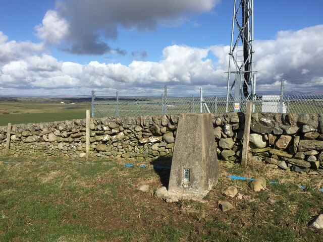
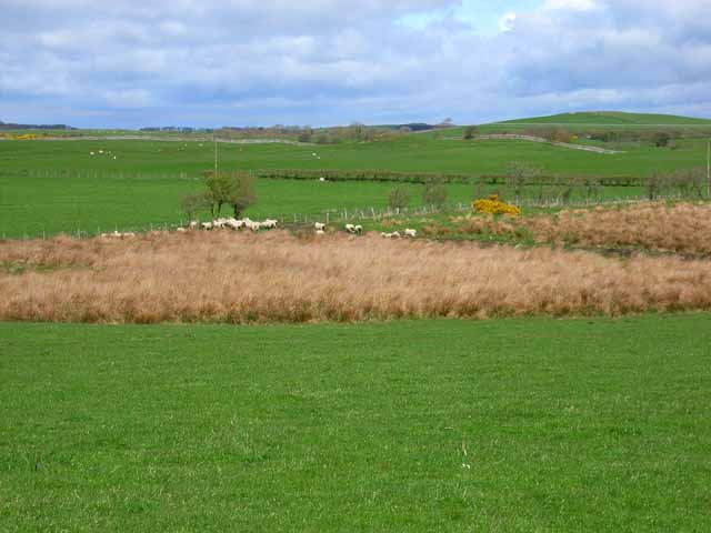
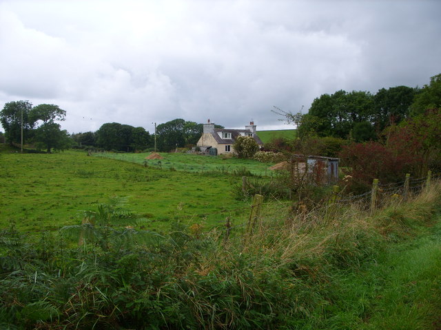
Rising to an elevation of approximately 377 meters (1,237 feet), Airies Hill is considered a prominent landmark in the area. It is part of the Galloway Hills, a range of hills known for their rugged beauty and diverse landscape. The hill is characterized by its grassy slopes, which are often dotted with grazing sheep.

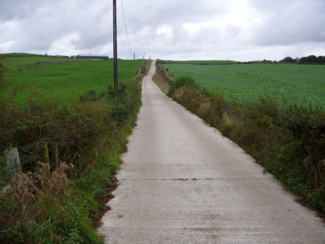
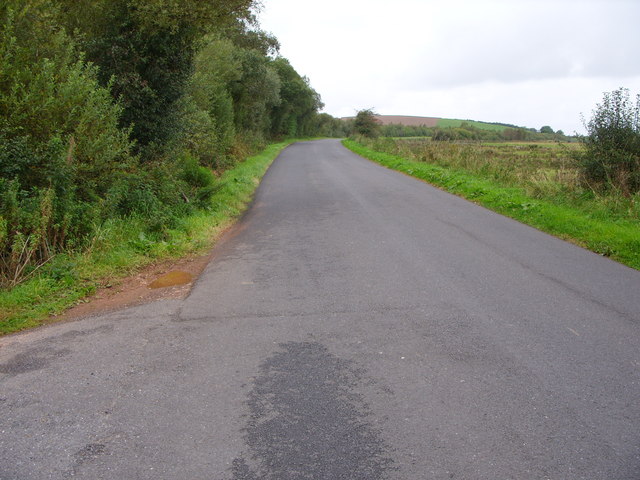
Hikers and walkers are drawn to Airies Hill for its well-established trails and paths, providing opportunities for both leisurely strolls and more challenging hikes. The summit of the hill offers panoramic views of the surrounding countryside, including the rolling hills, picturesque farmland, and distant coastal areas.

The hill is also home to a variety of wildlife, including birds such as peregrine falcons and red grouse, as well as mammals like red deer and mountain hares. Nature enthusiasts can enjoy observing these creatures in their natural habitat as they explore the hill.

With its accessibility and natural beauty, Airies Hill attracts visitors throughout the year. It serves as a recreational area for locals and tourists alike, providing a peaceful escape into the scenic Scottish countryside. Whether one seeks a peaceful walk or a challenging hike, Airies Hill offers an unforgettable experience for nature lovers and outdoor adventurers.

If you have any feedback on the listing, please let us know in the comments section below.
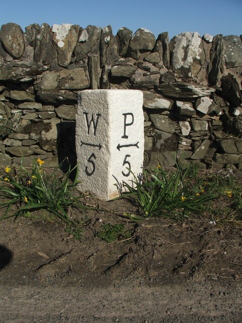
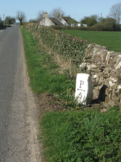
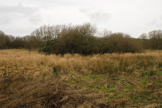
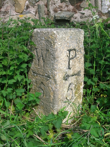
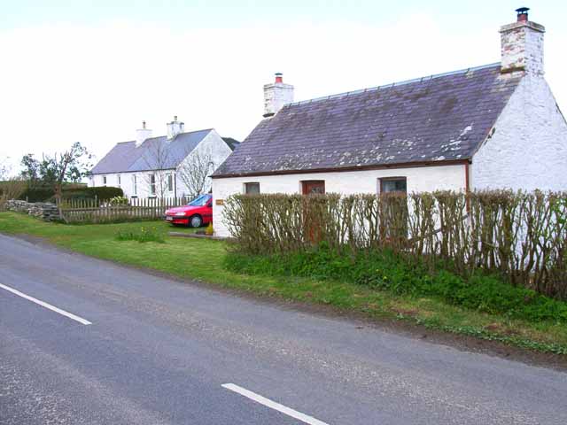
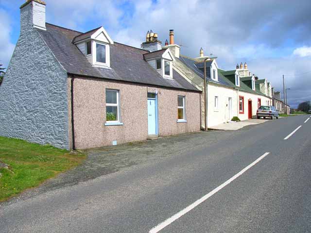
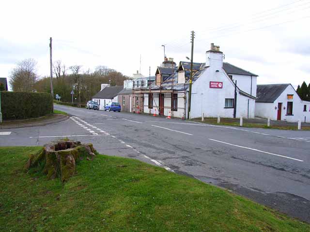
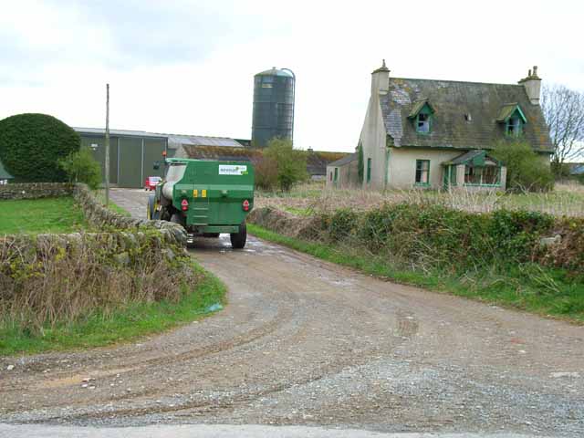
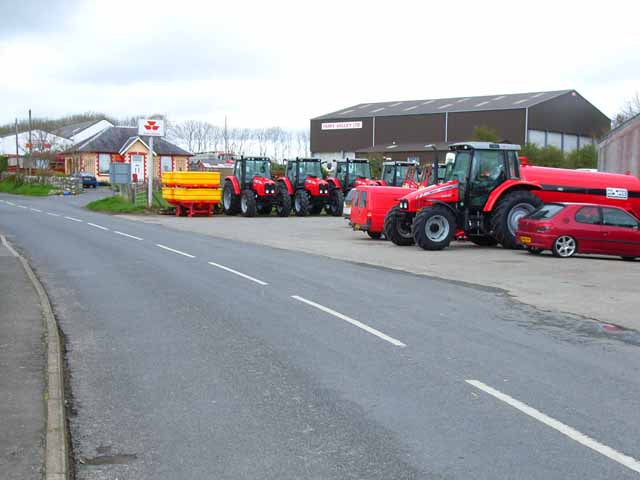
Airies Hill Images

Images are sourced within 2km of 54.805161/-4.4860405 or Grid Reference NX4048. Thanks to Geograph Open Source API. All images are credited.

Knockefferick Trig Point Flush Bracket S8231
Old milestone This milestone at the north east end of Whauphill is on the left hand side of a drive into a house.   It is opposite the Station House junction.   The railway ran from Newton Stewart to Whithorn with a spur to Garlieston.   It has been cleared of vegetation and painted by a Milestone Society member.
Old milestone
This milestone at the north east end of Whauphill is on the left hand side of a drive into a house. It is opposite the Station House junction. The railway ran from Newton Stewart to Whithorn with a spur to Garlieston. It has been cleared of vegetation and painted by a Milestone Society member.
Old milestone Southwestwards into the village centre where the B7052 forms a crossroads with the B7085.
Old milestone
Southwestwards into the village centre where the B7052 forms a crossroads with the B7085.
Old milestone This milestone is on the very narrow verge about 200m NE of Cairnfield Cottages.  Another stone cleared of vegetation and painted by a Milestone Society member.   Looks like a tractor just missed it!
Old milestone
This milestone is on the very narrow verge about 200m NE of Cairnfield Cottages. Another stone cleared of vegetation and painted by a Milestone Society member. Looks like a tractor just missed it!
Old milestone Cairnfield Cottages in the distance at a junction of a minor road to Culbae and Kildarroch.  The rough unworked back of the milestone can be seen.
Old milestone
Cairnfield Cottages in the distance at a junction of a minor road to Culbae and Kildarroch. The rough unworked back of the milestone can be seen.
Millers Cairn Millers Cairn is a crannog which was excavated in 1864 when Dowalton Loch was the drained. 

The following is the description from the site record on the Canmore website of the Royal Commission on the Ancient and Historical Monuments of Scotland: (<span class="nowrap"><a title="http://canmore.rcahms.gov.uk/en/site/62699/details/miller+s+cairn+dowalton+loch/&biblio=more" rel="nofollow ugc noopener" href="http://canmore.rcahms.gov.uk/en/site/62699/details/miller+s+cairn+dowalton+loch/&biblio=more">Link</a><img style="margin-left:2px;" alt="External link" title="External link - shift click to open in new window" src="https://s1.geograph.org.uk/img/external.png" width="10" height="10"/></span> )

"Miller's Cairn, a crannog, is so called from its having been a mark of the levels when Dowalton Loch was drained by cuts for feeding nearby mills. It was still surrounded by water when visited by Lord Percy in 1863, when it was seen to comprise a surface of stones and soil over a substructure of oak piles, hazel branches and ferns. The crannog was surrounded by oak piles, and lines of piles, to support a causeway, led from it to the shore. A hearth was found on it, as well as a small piece of bronze, while a Romano-British bronze basin was found in the loch nearby. Both are in NMAS."

Today Millers Cairn can be accessed from the south by picking a careful path through the surrounding marsh, although a thick and virtually impenetrable covering of rhododendron makes exploring its surface almost impossible.
Millers Cairn
Millers Cairn is a crannog which was excavated in 1864 when Dowalton Loch was the drained. The following is the description from the site record on the Canmore website of the Royal Commission on the Ancient and Historical Monuments of Scotland: (LinkExternal link ) "Miller's Cairn, a crannog, is so called from its having been a mark of the levels when Dowalton Loch was drained by cuts for feeding nearby mills. It was still surrounded by water when visited by Lord Percy in 1863, when it was seen to comprise a surface of stones and soil over a substructure of oak piles, hazel branches and ferns. The crannog was surrounded by oak piles, and lines of piles, to support a causeway, led from it to the shore. A hearth was found on it, as well as a small piece of bronze, while a Romano-British bronze basin was found in the loch nearby. Both are in NMAS." Today Millers Cairn can be accessed from the south by picking a careful path through the surrounding marsh, although a thick and virtually impenetrable covering of rhododendron makes exploring its surface almost impossible.
Old Milestone by the B7085, north of Cairnfield, Kirkinner parish Stone post by the B7085, in parish of Kirkinner (Wigtownshire District), 200m Northeast of Cairnfield Cottages, on verge, Northwest side of road.

Inscription reads:-
: W / {arrow->} / 5 : : P / {<-arrow} / 5 :
(To Wigtown and Port William)

Surveyed

Milestone Society National ID: DG_WGPW05
Old Milestone by the B7085, north of Cairnfield, Kirkinner parish
Stone post by the B7085, in parish of Kirkinner (Wigtownshire District), 200m Northeast of Cairnfield Cottages, on verge, Northwest side of road. Inscription reads:- : W / {arrow->} / 5 : : P / {<-arrow} / 5 : (To Wigtown and Port William) Surveyed Milestone Society National ID: DG_WGPW05
Cairnfield Cottages On the B7085 Portwilliam to Wigtown road.
Cairnfield Cottages
On the B7085 Portwilliam to Wigtown road.
Cottages near March Farm, Whauphill On the B7085 Portwilliam to Wigtown road. Typical of the small cottages found throughout southern Scotland.
Cottages near March Farm, Whauphill
On the B7085 Portwilliam to Wigtown road. Typical of the small cottages found throughout southern Scotland.
Whaup Hotel At the time of this photo, this pub in the centre of the tiny village of Whauphill was undergoing a face lift, following the death of the landlord. It has subsequently reopened as a pub and restaurant with an lively music programme; customers are active in fund-raising for cancer research. &lt;span class=&quot;nowrap&quot;&gt;&lt;a title=&quot;http://www.whauphotel.co.uk&quot; rel=&quot;nofollow ugc noopener&quot; href=&quot;http://www.whauphotel.co.uk&quot;&gt;Link&lt;/a&gt;&lt;img style=&quot;margin-left:2px;&quot; alt=&quot;External link&quot; title=&quot;External link - shift click to open in new window&quot; src=&quot;https://s1.geograph.org.uk/img/external.png&quot; width=&quot;10&quot; height=&quot;10&quot;/&gt;&lt;/span&gt;
Whaup Hotel
At the time of this photo, this pub in the centre of the tiny village of Whauphill was undergoing a face lift, following the death of the landlord. It has subsequently reopened as a pub and restaurant with an lively music programme; customers are active in fund-raising for cancer research. LinkExternal link
Cairnfield Modern barn behind, but the farmhouse has obviously been abandoned.
Cairnfield
Modern barn behind, but the farmhouse has obviously been abandoned.
Farmland near March Farm Low lying pasture drained by &amp;quot;the Canal&amp;quot; - probably a canalised stream in reality.
Farmland near March Farm
Low lying pasture drained by "the Canal" - probably a canalised stream in reality.
Agricultural engineers at Whauphill
Knockeffrick Farm Road
Stonehouse Cottage
Stonehouse Cottage
The B7052 at Airies Hill Plantation
Telephone Box & purple village hall
The Whaup Hotel This looked a bit closed to me when I wanted to visit!
The Whaup Hotel
This looked a bit closed to me when I wanted to visit!
Show me another place!

Airies Hill is located at Grid Ref: NX4048 (Lat: 54.805161, Lng: -4.4860405)

Unitary Authority: Dumfries and Galloway

Police Authority: Dumfries and Galloway

What 3 Words

///takes.intruders.flattery. Near Whithorn, Dumfries & Galloway

Nearby Locations

Airies Hill

Related Wikis

Whauphill

Whauphill is a small village located in the historical county of Wigtownshire in the Machars, Dumfries and Galloway, Scotland.Whauphill is a hub that supports...

Whauphill railway station

Whauphill (NX 40462 49887) was a railway station on the Wigtownshire Railway branch line, from Newton Stewart to Whithorn, of the Portpatrick and Wigtownshire...

Kirkinner

Kirkinner (Scottish Gaelic: Cille Chainneir, IPA: [ˈkʲʰiʎə ˈxaɲɪɾʲ]) is a village in the Machars, in the historical county of Wigtownshire in Dumfries...

Sorbie railway station

Sorbie (NX4351447562) was a railway station that was located close to the village of Sorbie on the then Wigtownshire Railway branch line to Whithorn, from...

Kirkinner railway station

Kirkinner was a railway station on the Wigtownshire Railway branch line, from Newton Stewart to Whithorn, of the Portpatrick and Wigtownshire Joint Railway...

Sorbie

Sorbie (Scottish Gaelic: Soirbidh) is a small village in Wigtownshire, Machars, within the Administration area of Dumfries and Galloway Council, Scotland...

Mochrum

Mochrum () is a coastal civil and Church of Scotland parish situated to the east of Luce Bay on the Machars peninsula and 8 miles (13 km) southwest of...

Sorbie Tower

Sorbie Tower is a fortified tower house 1 mile east of the village of Sorbie, Dumfries and Galloway, Scotland. The ancient seat of the Clan Hannay, it...

Nearby Amenities

Located within 500m of 54.805161,-4.4860405
Power: pole
Lat/Long: 54.8059133/-4.484463
Power: pole
Lat/Long: 54.8072887/-4.4859433
Power: pole
Lat/Long: 54.8079305/-4.4866515
Power: pole
Lat/Long: 54.8091739/-4.4880135
Airies Hill
Natural: peak
Lat/Long: 54.8049415/-4.4863233
Power: pole
Lat/Long: 54.8041051/-4.4824995
Power: pole
Lat/Long: 54.8034247/-4.4820753
Power: pole
Lat/Long: 54.8029452/-4.4817764
Power: pole
Lat/Long: 54.8022863/-4.4813656
Power: pole
Lat/Long: 54.8047081/-4.4831543
Power: pole
Lat/Long: 54.8051624/-4.4836476
Power: pole
Lat/Long: 54.8067751/-4.4853906
Power: pole
Lat/Long: 54.8062626/-4.484839
Power: pole
Lat/Long: 54.8085473/-4.4873271
The data included in this document is from www.openstreetmap.org. The data is made available under ODbL.

Have you been to Airies Hill?

Leave your review of Airies Hill below (or comments, questions and feedback).