Blaen Cribor

Hill, Mountain in Cardiganshire

Wales

Blaen Cribor

Churn Stand There is an Ordnance Survey rivet on the top of the stand. <a title="https://www.geograph.org.uk/photo/7446173" href="https://www.geograph.org.uk/photo/7446173">Link</a>
Churn Stand Credit: Adrian Dust

Blaen Cribor is a prominent hill located in Cardiganshire, Wales. It stands at an elevation of 1,045 feet (318 meters) and is part of the Cambrian Mountains range. The hill is situated about 6 miles northeast of the town of Tregaron and offers breathtaking panoramic views of the surrounding landscape.

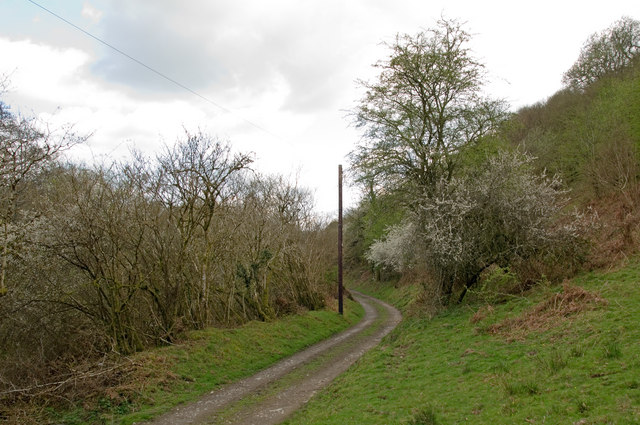
Blaen Cribor is known for its rugged and wild terrain, featuring steep slopes covered in heather and grasses. The hill is predominantly composed of ancient rock formations and is home to a diverse range of flora and fauna. It provides a habitat for various species, including birds of prey, such as red kites and buzzards, as well as a variety of wildflowers.

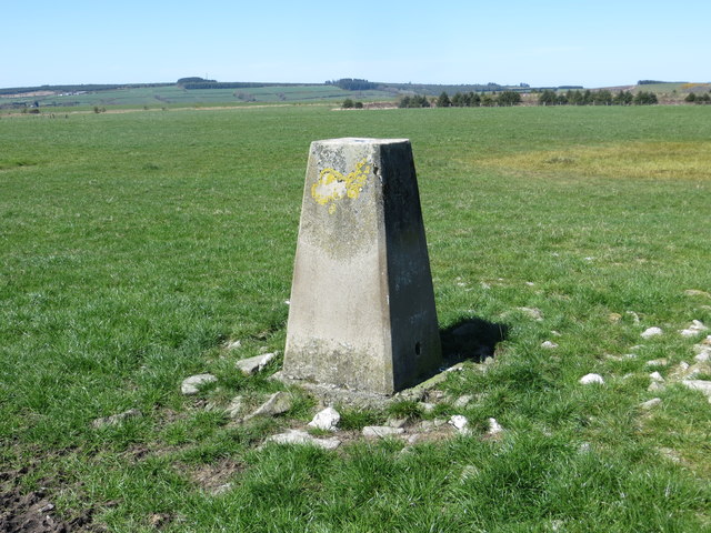
The summit of Blaen Cribor offers a stunning vantage point, allowing visitors to see far-reaching vistas across the rolling hills of Cardiganshire. On a clear day, it is possible to spot other prominent landmarks, such as the Cambrian Mountains, Plynlimon (the highest point in Mid Wales), and the coastline of Cardigan Bay.

Blaen Cribor is a popular destination for hikers and nature enthusiasts who are drawn to its natural beauty and tranquility. There are several walking trails that lead to the summit, varying in difficulty and length, catering to all levels of fitness and experience.

Overall, Blaen Cribor is a remarkable hill in Cardiganshire, offering visitors a chance to immerse themselves in the stunning Welsh countryside and experience the awe-inspiring beauty of the Cambrian Mountains.

If you have any feedback on the listing, please let us know in the comments section below.
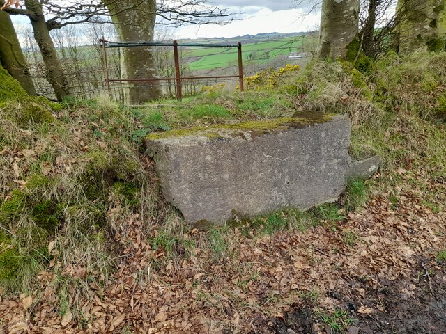
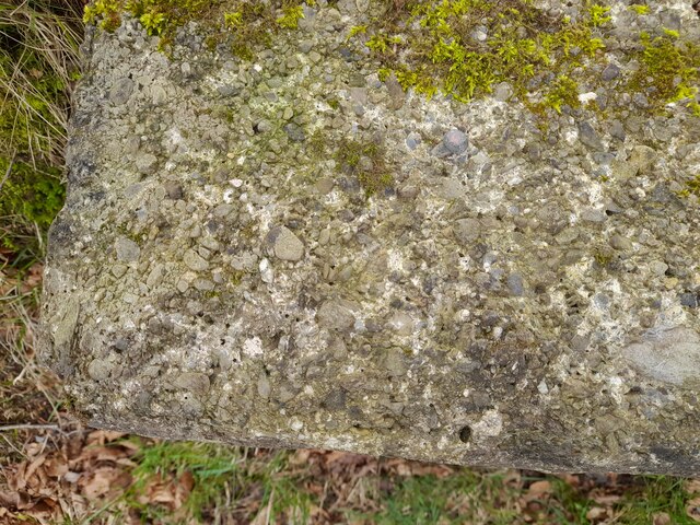
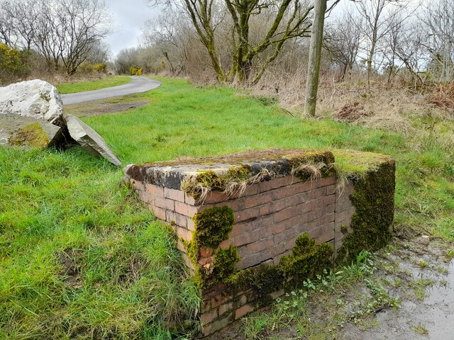
Blaen Cribor Images

Images are sourced within 2km of 52.105951/-4.333287 or Grid Reference SN4047. Thanks to Geograph Open Source API. All images are credited.

Churn Stand There is an Ordnance Survey rivet on the top of the stand. <a title="https://www.geograph.org.uk/photo/7446173" href="https://www.geograph.org.uk/photo/7446173">Link</a>
Churn Stand
There is an Ordnance Survey rivet on the top of the stand. Link
Ordnance Survey Rivet This OS rivet can be found on the churn stand. It marks a point 263.368m above mean sea level. <a title="https://www.geograph.org.uk/photo/7446172" href="https://www.geograph.org.uk/photo/7446172">Link</a>
Ordnance Survey Rivet
This OS rivet can be found on the churn stand. It marks a point 263.368m above mean sea level. Link
Churn Stand There is an Ordnance Survey cut mark on the front of the stand. <a title="https://www.geograph.org.uk/photo/7446175" href="https://www.geograph.org.uk/photo/7446175">Link</a>
Churn Stand
There is an Ordnance Survey cut mark on the front of the stand. Link
Ordnance Survey Cut Mark This OS cut mark can be found on the churn stand. It marks a point 276.853m above mean sea level. <a title="https://www.geograph.org.uk/photo/7446174" href="https://www.geograph.org.uk/photo/7446174">Link</a>
Ordnance Survey Cut Mark
This OS cut mark can be found on the churn stand. It marks a point 276.853m above mean sea level. Link
Track alongside Afon Cerdin The wooded slope on the right is topped by the Iron Age hillfort of Dinas Cerdin.
Track alongside Afon Cerdin
The wooded slope on the right is topped by the Iron Age hillfort of Dinas Cerdin.
Field view from Blaen-cribor Triangulation Pillar Looking north-westward.
Field view from Blaen-cribor Triangulation Pillar
Looking north-westward.
Farmland to the east of Capel Cynon
View to Pant Bach View across farmland to the east of Capel Cynon to Pant Bach.
View to Pant Bach
View across farmland to the east of Capel Cynon to Pant Bach.
Churn Stand There is an Ordnance Survey rivet on the step of the stand. <a title="https://www.geograph.org.uk/photo/7446177" href="https://www.geograph.org.uk/photo/7446177">Link</a>
Churn Stand
There is an Ordnance Survey rivet on the step of the stand. Link
Ordnance Survey Rivet This OS rivet can be found on the step of the churn stand. It marks a point 259.389m above mean sea level. <a title="https://www.geograph.org.uk/photo/7446176" href="https://www.geograph.org.uk/photo/7446176">Link</a>
Ordnance Survey Rivet
This OS rivet can be found on the step of the churn stand. It marks a point 259.389m above mean sea level. Link
Churn Stand There is an Ordnance Survey cut mark on the front of the stand. <a title="https://www.geograph.org.uk/photo/7446179" href="https://www.geograph.org.uk/photo/7446179">Link</a>
Churn Stand
There is an Ordnance Survey cut mark on the front of the stand. Link
Ordnance Survey Cut Mark This OS cut mark can be found on the front of the Churn Stand. It marks a point 255.144m above mean sea level. <a title="https://www.geograph.org.uk/photo/7446178" href="https://www.geograph.org.uk/photo/7446178">Link</a>
Ordnance Survey Cut Mark
This OS cut mark can be found on the front of the Churn Stand. It marks a point 255.144m above mean sea level. Link
From near Alltmaen towards Pant-bach View down the slope across an autumn meadow, with fine trees towards the valley bottom.
From near Alltmaen towards Pant-bach
View down the slope across an autumn meadow, with fine trees towards the valley bottom.
Lonely house, Llandysul There are not many houses on this long upland lane.  This one is conveniently in the very SW corner of the square.  It shows signs of having had the roof raised up to allow rooms to be created in the loft.
Lonely house, Llandysul
There are not many houses on this long upland lane. This one is conveniently in the very SW corner of the square. It shows signs of having had the roof raised up to allow rooms to be created in the loft.
Track to Darren fach
Footpath near Gwarllwyneidos
Footpath through Lancwm farm
Country road from Maesymeillion
Show me another place!

Blaen Cribor is located at Grid Ref: SN4047 (Lat: 52.105951, Lng: -4.333287)

Unitary Authority: Ceredigion

Police Authority: Dyfed Powys

What 3 Words

///living.object.succumbs. Near Llandysul, Ceredigion

Nearby Locations

Blaen Cribor

Related Wikis

Rhos Llawr Cwrt National Nature Reserve

Rhos Llawr Cwrt National Nature Reserve nestles in the base of the Clettwr valley, some 10 kilometres from the Ceredigion coast, between Ffostrasol and...

A486 road

The A486 is an A road in Wales linking New Quay, Ceredigion, with the A484 in Saron (Llangeler), Carmarthenshire. == Route == The road begins in New Quay...

Ffostrasol

Ffostrasol is a small village in the south of Ceredigion, Wales. It is located on the A486 between Synod Inn and Llandysul, and it forms part of the parish...

Tregroes

Tregroes (Welsh: Tregroes, "Settlement of the Cross") is a hamlet in the community of Llandysul, Ceredigion, Wales, which is 64.1 miles (103.2 km) from...

Crugyreryr

Crugyreryr is a hamlet in the community of Llandysiliogogo, Ceredigion, Wales, which is 65.9 miles (106 km) from Cardiff and 183.5 miles (295.3 km) from...

Pontsiân

Pontsiân is a village in the county of Ceredigion, Wales. It lies on the banks of the river Cletwr, a minor tributary to the Afon Teifi. Located in a rural...

Dolgerdd

Dolgerdd is a hamlet in the community of Llandysiliogogo, Ceredigion, Wales, which is 65.6 miles (105.5 km) from Cardiff and 183.2 miles (294.8 km) from...

Bwlchyfadfa

Bwlchyfadfa is a hamlet in the community of Llandysul, Ceredigion, Wales, which is 64.9 miles (104.4 km) from Cardiff and 182.5 miles (293.8 km) from London...

Nearby Amenities

Located within 500m of 52.105951,-4.333287
Blaen Cribor
Ele: 291
Natural: peak
Source: OS 7TH SERIES;OS 1:25k historic (NLS);aerial imagery
Lat/Long: 52.1059317/-4.3333477
Man Made: utility_pole
Lat/Long: 52.1093686/-4.3293371
The data included in this document is from www.openstreetmap.org. The data is made available under ODbL.

Have you been to Blaen Cribor?

Leave your review of Blaen Cribor below (or comments, questions and feedback).