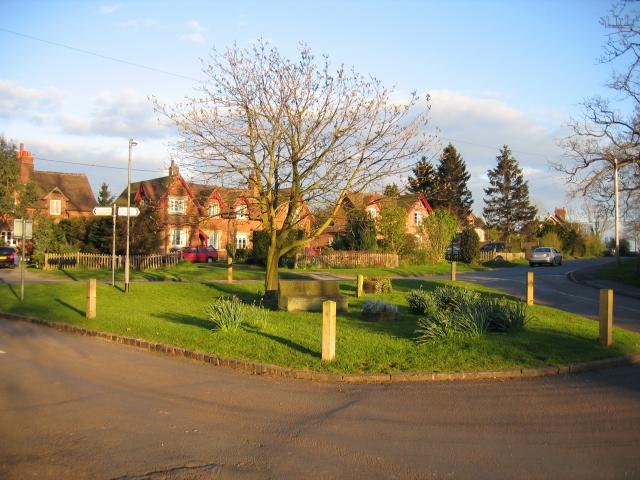
Hill Wootton
Settlement in Warwickshire Warwick
England
Hill Wootton
Hill Wootton is a small village located in the county of Warwickshire, England. Situated approximately 5 miles north of Warwick, the village is nestled in the picturesque countryside of the Midlands region. With a population of around 300 residents, Hill Wootton exudes a charming and tranquil atmosphere.
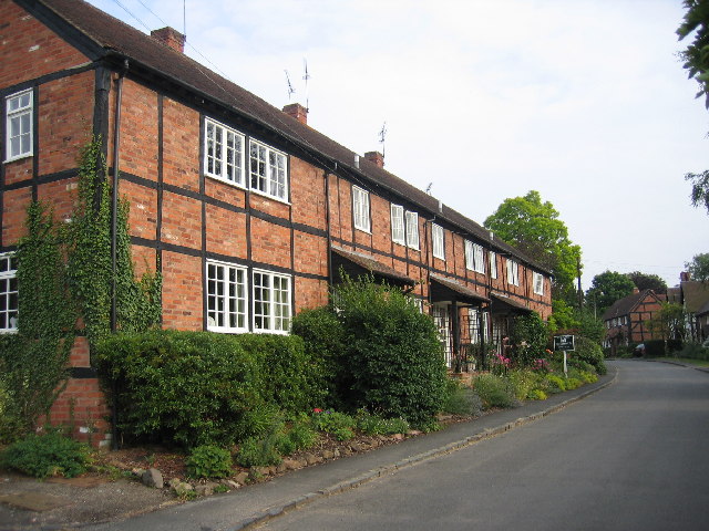
The village is characterized by its quaint cottages and traditional architecture, which reflects its rich history. The origins of Hill Wootton can be traced back to the medieval period, and it has managed to retain much of its original charm throughout the centuries.
Surrounded by rolling hills and lush green fields, Hill Wootton offers stunning views of the Warwickshire landscape. The village is known for its idyllic setting, making it a popular destination for countryside walks and outdoor activities. Nearby attractions include the historic Warwick Castle and the renowned Warwickshire Golf Club.
Although small in size, Hill Wootton boasts a strong sense of community. The village features a local pub, The Leopard, which serves as a hub for social gatherings and events. Additionally, the village hall hosts various activities and clubs, fostering a sense of togetherness among the residents.
Hill Wootton benefits from its proximity to larger towns such as Warwick and Leamington Spa, which offer a wider range of amenities and services. The village is well-connected to these urban centers via road and public transportation, ensuring easy access to shopping, healthcare, and educational facilities.
In summary, Hill Wootton is a charming village in Warwickshire, known for its historic architecture, stunning countryside, and strong sense of community. It provides a peaceful retreat for those seeking a rural lifestyle, while also benefiting from its close proximity to larger towns and amenities.
If you have any feedback on the listing, please let us know in the comments section below.
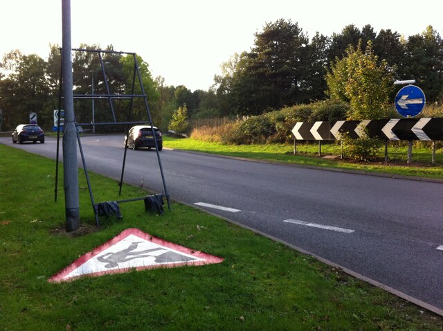
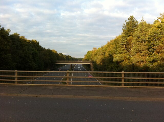
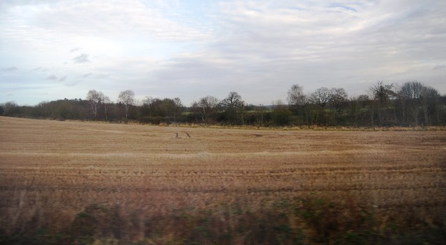
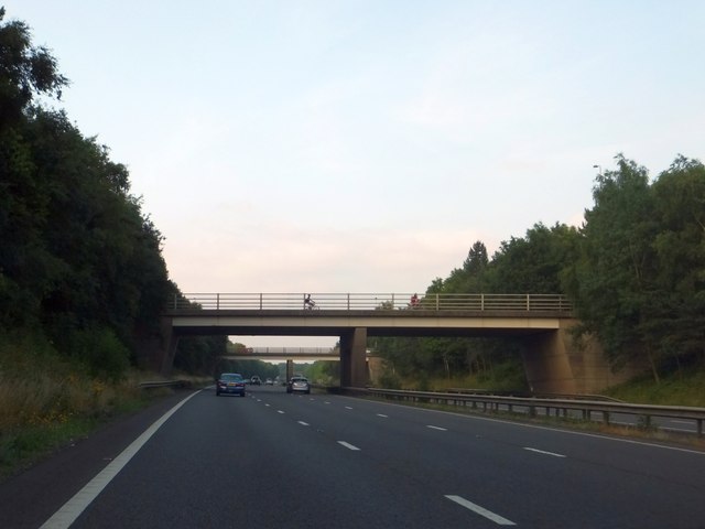
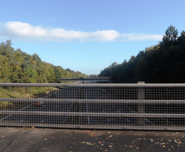
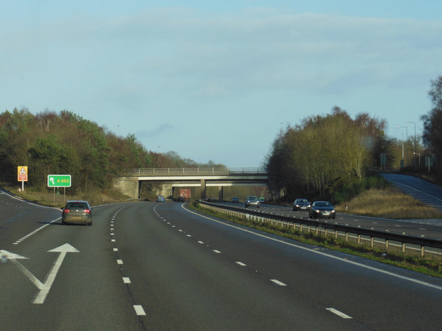
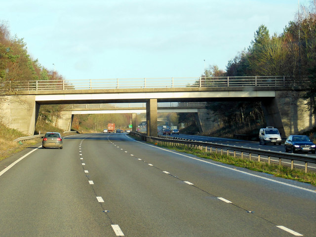
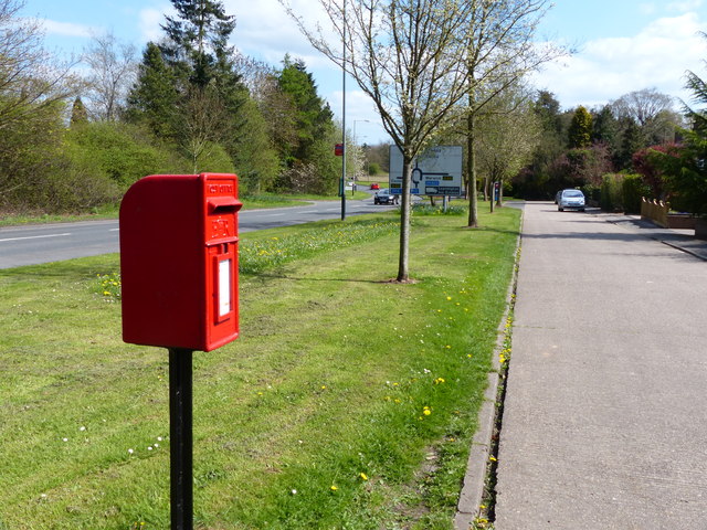
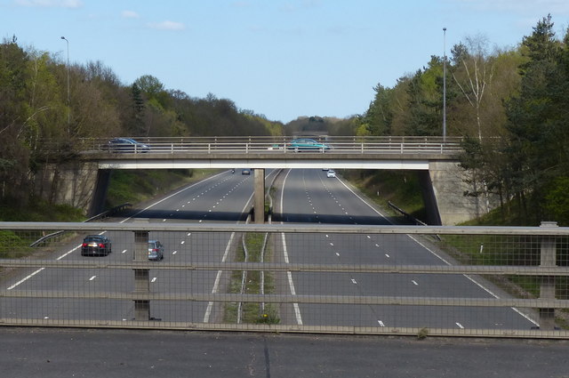
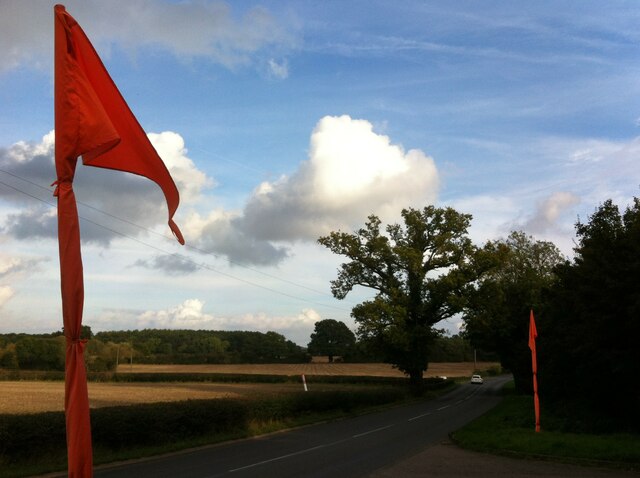
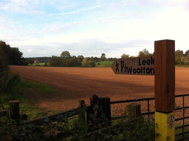
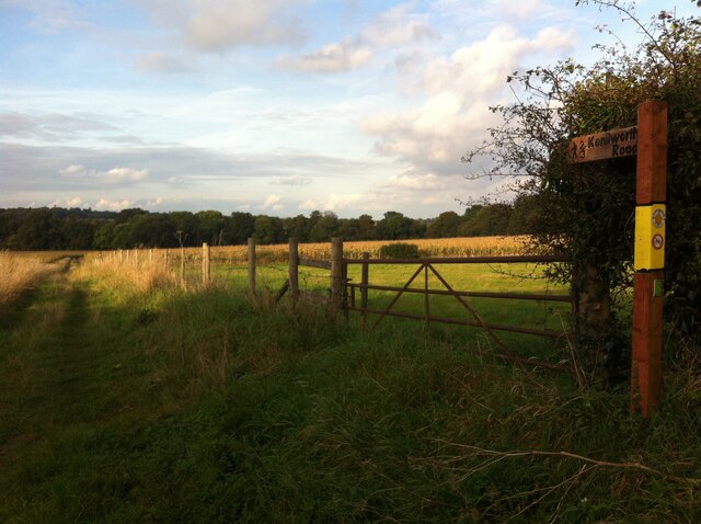
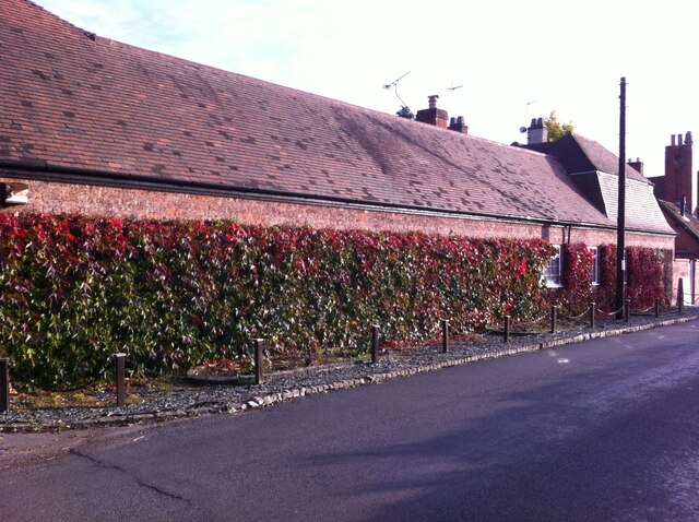
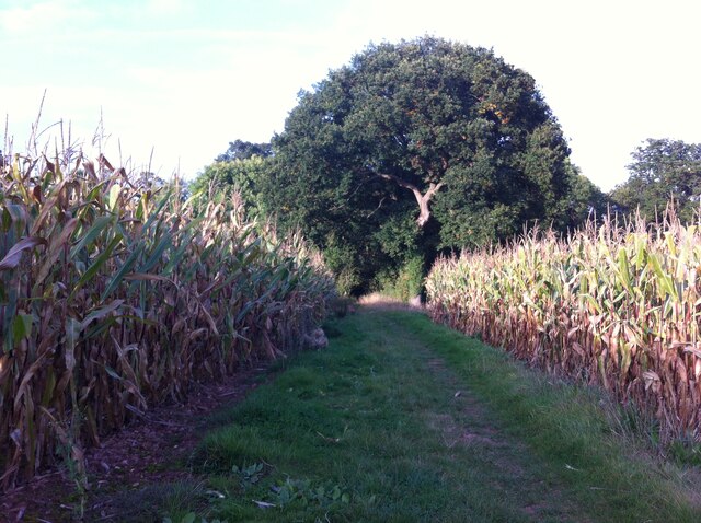
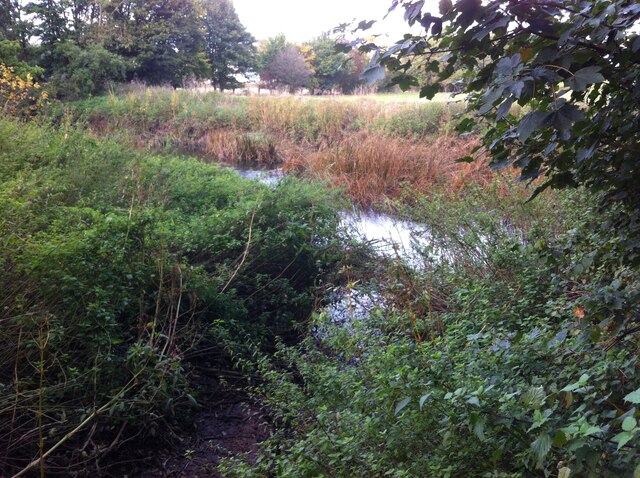
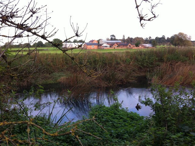
Hill Wootton Images
Images are sourced within 2km of 52.316339/-1.553558 or Grid Reference SP3068. Thanks to Geograph Open Source API. All images are credited.
Hill Wootton is located at Grid Ref: SP3068 (Lat: 52.316339, Lng: -1.553558)
Administrative County: Warwickshire
District: Warwick
Police Authority: Warwickshire
What 3 Words
///bumpy.notes.judge. Near Leek Wootton, Warwickshire
Nearby Locations
Related Wikis
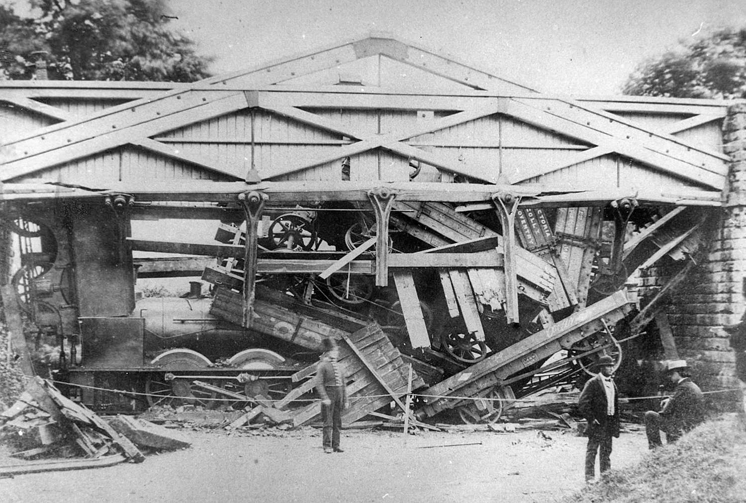
Wootton bridge collapse
The Wootton bridge collapse occurred on 11 June 1861, when the rail bridge over the road between Leek Wootton and Hill Wootton in Warwickshire collapsed...
Ashow
Ashow is a small village and civil parish in the Warwick district of Warwickshire, England, about 2.5 miles (4 km) south-east of central Kenilworth. According...
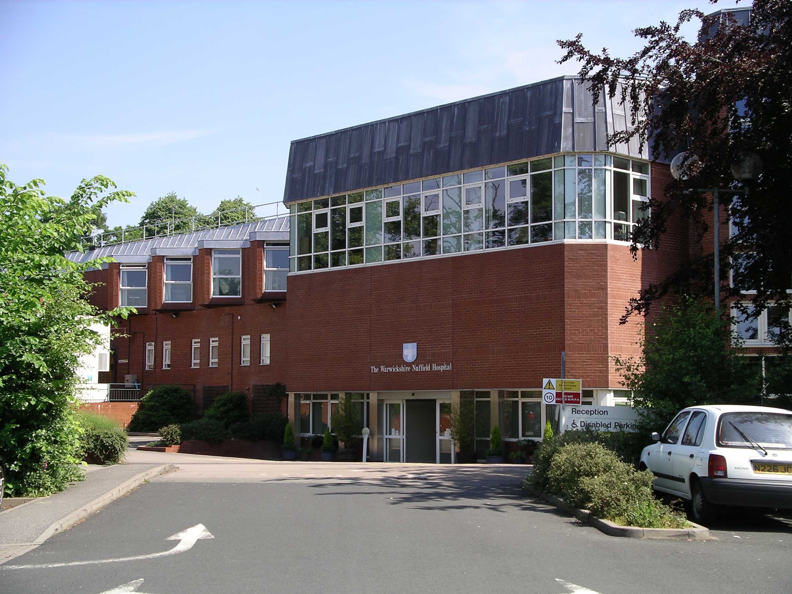
Warwickshire Nuffield Hospital
Warwickshire Nuffield Hospital is a not-for-profit private hospital situated in the north of Leamington Spa, Warwickshire, England. == History == The hospital...

Blackdown, Warwickshire
Blackdown is a hamlet and civil parish in the Warwick district of Warwickshire, England. Blackdown is about two miles north of Leamington Spa, between...

Leek Wootton
Leek Wootton is a village and former civil parish, now in the parish of Leek Wootton and Guy's Cliffe, in the Warwick district, in the county of Warwickshire...
Old Milverton
Old Milverton is a hamlet east of Warwick and north west of Leamington Spa in Warwickshire, England, and situated in a bend of the River Avon. The population...
North Leamington School
North Leamington School (NLS) is a mixed, non-selective, comprehensive school for students aged 11 to 18 years located at the northeastern edge of Leamington...

Leamington Cricket Club Ground
Leamington Cricket Club Ground is a cricket ground in Leamington Spa, Warwickshire. == History == The first recorded match on the ground was in 1900, when...
Nearby Amenities
Located within 500m of 52.316339,-1.553558Have you been to Hill Wootton?
Leave your review of Hill Wootton below (or comments, questions and feedback).