Hillam
Settlement in Yorkshire Selby
England
Hillam

Hillam is a small village located in the county of Yorkshire, England. Situated approximately 15 miles southeast of the city of Leeds, it falls within the district of Selby. With a population of around 1,000 residents, Hillam maintains its rural character and offers a peaceful and picturesque setting.
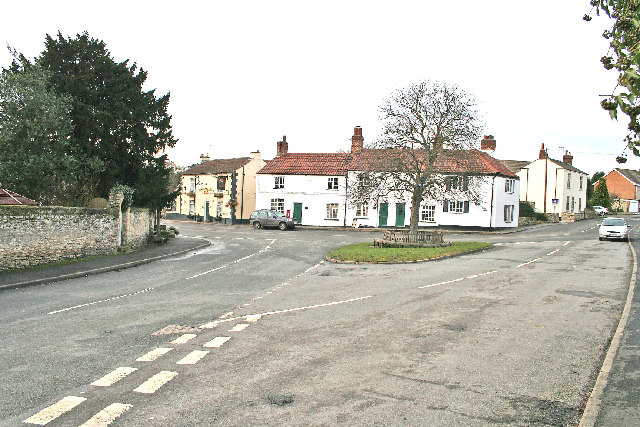
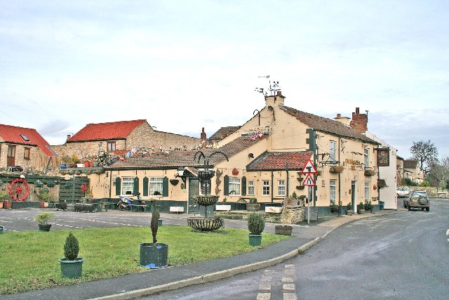
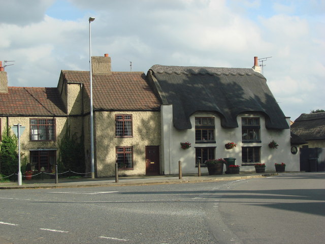
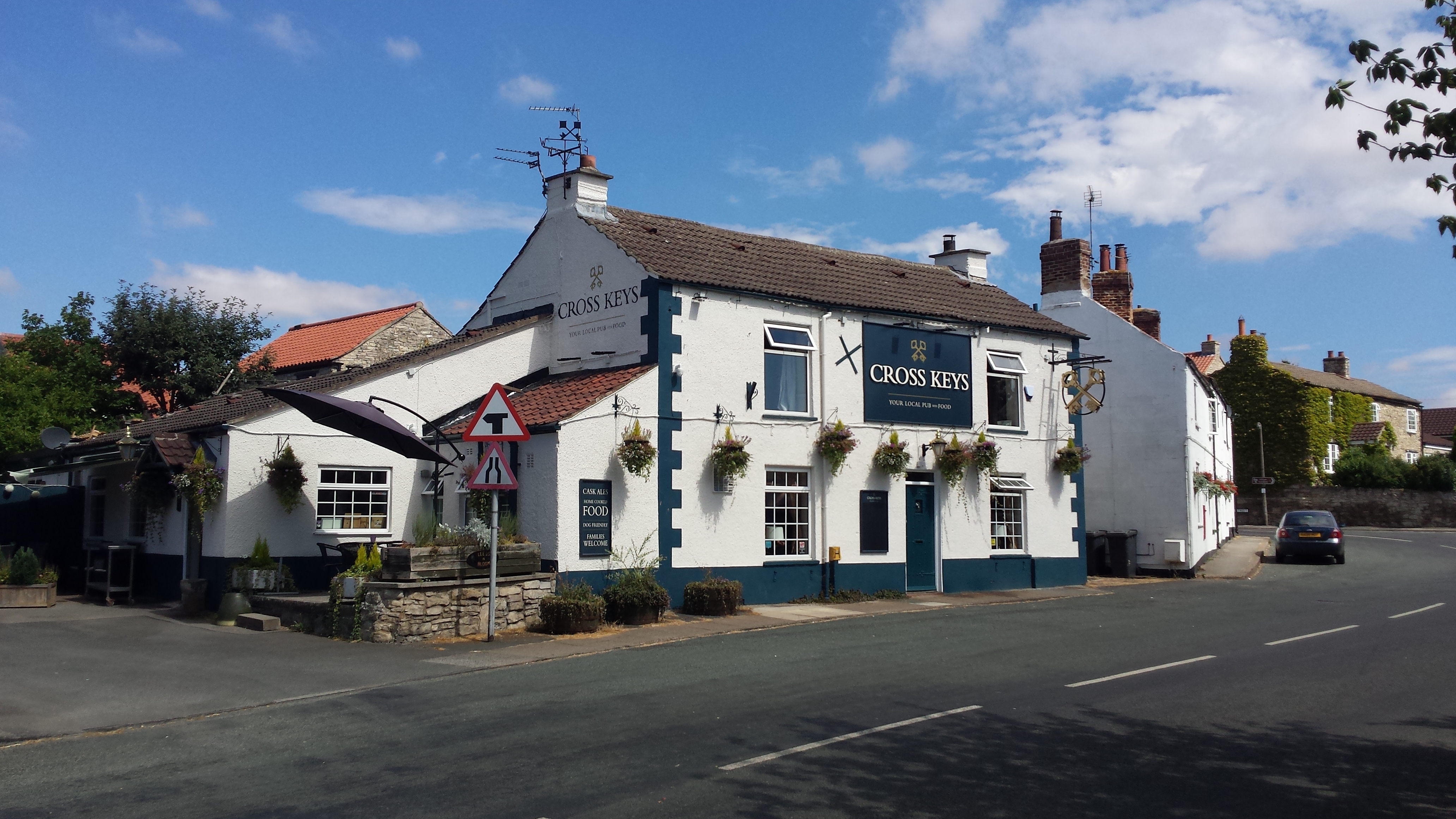
The village is known for its charming, traditional architecture, with many stone-built houses and cottages that date back several centuries. This creates a distinct and timeless atmosphere, reflecting the area's rich history. Hillam also boasts a beautiful church, St. Mary's, which dates back to the 12th century and is a focal point of the community.
The surrounding countryside offers stunning natural beauty, with rolling hills and expansive fields that are perfect for outdoor activities such as walking, cycling, and horse riding. The village is also in close proximity to the River Aire, providing opportunities for fishing and boating enthusiasts.
Despite its small size, Hillam has a strong sense of community, with various local events and activities taking place throughout the year. The village has a primary school, a pub, and a few local shops, providing essential amenities for its residents.
Hillam's location offers convenient access to major transportation routes, including the A1(M) motorway, making it an ideal location for commuters who work in nearby cities. The village's peaceful atmosphere, picturesque surroundings, and sense of community make it an attractive place to live for those seeking a tranquil rural lifestyle within easy reach of urban amenities.
If you have any feedback on the listing, please let us know in the comments section below.
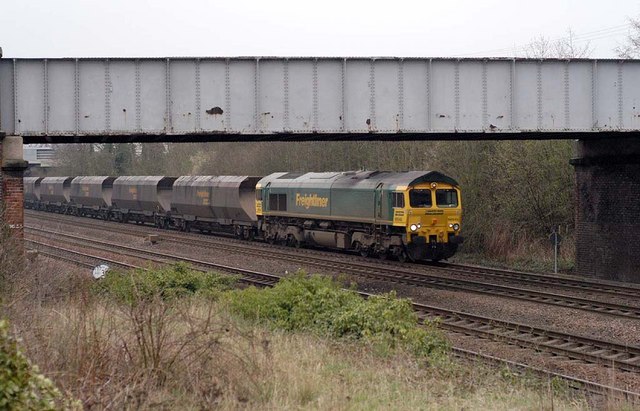
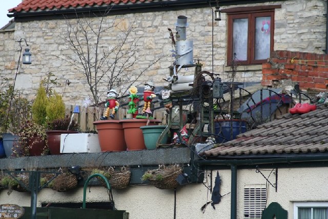
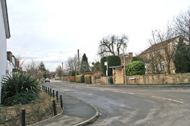
Hillam Images
Images are sourced within 2km of 53.753648/-1.230735 or Grid Reference SE5028. Thanks to Geograph Open Source API. All images are credited.


Hillam is located at Grid Ref: SE5028 (Lat: 53.753648, Lng: -1.230735)
Division: West Riding
Administrative County: North Yorkshire
District: Selby
Police Authority: North Yorkshire
What 3 Words
///uttering.motivates.eternally. Near Monk Fryston, North Yorkshire
Nearby Locations
Related Wikis
Hillam
Hillam is a village and civil parish in the Selby District of North Yorkshire, England. The village is closely linked to Monk Fryston, although both villages...

Monk Fryston
Monk Fryston is a small village and civil parish in the Selby district of North Yorkshire, England. The village was historically part of the West Riding...

Monk Fryston Hall
Monk Fryston Hall is a Grade II* listed country house standing in 66 acres of parkland in Monk Fryston, Selby, North Yorkshire, England.The hall was originally...
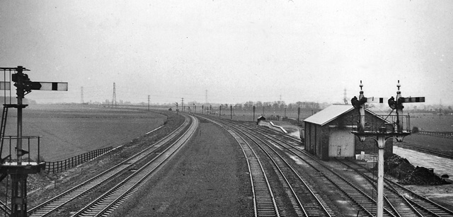
Monk Fryston railway station
Monk Fryston railway station was a railway station serving the village of Monk Fryston in North Yorkshire, England. Previously, Milford Junction and Old...
Milford Junction railway station
Milford Junction railway station was a railway station near to Milford Junction on the York and North Midland Railway south of the south-east connecting...
Burton Salmon railway station
Burton Salmon railway station served the village of Burton Salmon, North Yorkshire, England, from 1840 to 1959 on the York and North Midland Railway....

Milford Sidings
Milford Sidings are a set of railway sidings in South Milford, North Yorkshire, England. The railways through the site were initially opened in 1834 and...
Burton Salmon
Burton Salmon is a village and civil parish in the Selby district of North Yorkshire, England, close to the border with West Yorkshire, and approximately...
Nearby Amenities
Located within 500m of 53.753648,-1.230735Have you been to Hillam?
Leave your review of Hillam below (or comments, questions and feedback).