Bennan Hill
Hill, Mountain in Wigtownshire
Scotland
Bennan Hill
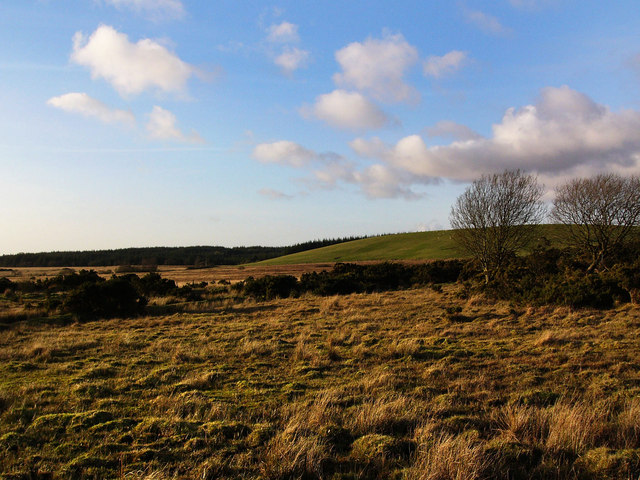
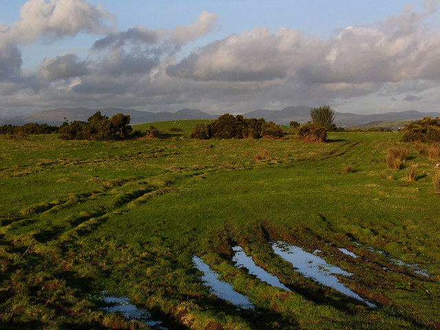
Bennan Hill is a prominent feature located in Wigtownshire, a region in the southwestern part of Scotland. Rising to an elevation of 614 meters (2,014 feet), it is classified as a hill rather than a mountain. The hill is situated within the Galloway Forest Park, which covers an expansive area of 297 square miles (770 square kilometers) and is renowned for its stunning natural beauty and diverse wildlife.
Bennan Hill offers breathtaking panoramic views from its summit, allowing visitors to take in the surrounding landscape, including the nearby Merrick, which is the highest peak in southern Scotland. The hill is a popular destination for hikers and outdoor enthusiasts, offering various trails that cater to different skill levels. The ascent to the summit can be challenging, with rugged terrain and steep slopes, but the effort is rewarded with awe-inspiring vistas.
The hill is covered in a mix of heather moorland and scattered trees, providing a habitat for a range of wildlife species. Red deer, grouse, and birds of prey, such as peregrine falcons and golden eagles, can be spotted in the area. The Galloway Forest Park, including Bennan Hill, has also been designated as a Dark Sky Park, making it an ideal location for stargazing and observing celestial phenomena.
In addition to its natural beauty, Bennan Hill is also steeped in history and folklore. The surrounding area is dotted with ancient sites, including cairns and stone circles, which are remnants of early human settlement. Legend has it that the hill is home to supernatural beings and mythical creatures, adding an element of intrigue to its allure.
Overall, Bennan Hill in Wigtownshire is a captivating destination that offers a combination of breathtaking scenery, outdoor activities, and a rich cultural heritage.
If you have any feedback on the listing, please let us know in the comments section below.
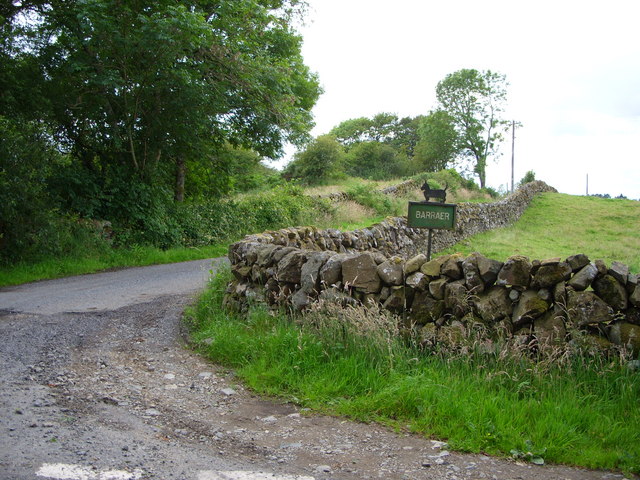
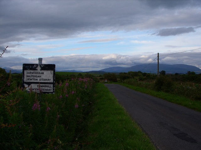
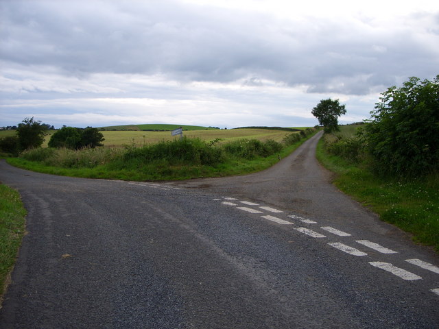
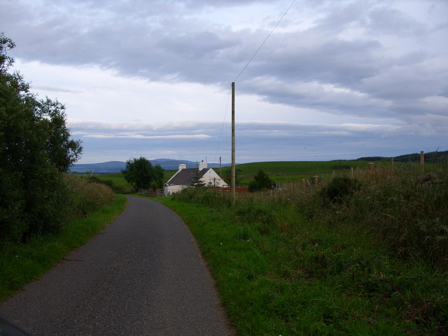
Bennan Hill Images
Images are sourced within 2km of 54.912124/-4.5131198 or Grid Reference NX3860. Thanks to Geograph Open Source API. All images are credited.


Bennan Hill is located at Grid Ref: NX3860 (Lat: 54.912124, Lng: -4.5131198)
Unitary Authority: Dumfries and Galloway
Police Authority: Dumfries and Galloway
What 3 Words
///drifter.twig.washroom. Near Newton Stewart, Dumfries & Galloway
Nearby Locations
Related Wikis

Mains of Penninghame Platform railway station
Mains of Penninghame Platform railway station (NX410617) was a halt on the Wigtownshire Railway branch line, from Newton Stewart to Whithorn, of the Portpatrick...

Causeway End railway station
Causeway End (NX 42047 59602) or Causwayend was a railway station on the Wigtownshire Railway branch line, from Newton Stewart to Whithorn, of the Portpatrick...

Torhouse
The Standing Stones of Torhouse (also Torhousekie) are a stone circle of nineteen granite boulders on the land of Torhouse, three miles west of Wigtown...

Newton Stewart Hospital
Newton Stewart Hospital is a health facility in Newton Stewart, Dumfries and Galloway, Scotland. It is managed by NHS Dumfries and Galloway. == History... ==

Newton Stewart railway station
Newton Stewart railway station served the town of Newton Stewart, Dumfries and Galloway, Scotland from 1861 to 1965 on the Portpatrick and Wigtownshire...

Newton Stewart F.C.
Newton Stewart Football Club are a football club from the town of Newton Stewart in the Dumfries and Galloway area of Scotland. Formed in 1880, as Newton...

McMillan Hall, Newton Stewart
The McMillan Hall is a municipal building in Dashwood Square in Newton Stewart, Dumfries and Galloway, Scotland. The structure, which is used as a community...

Newton Stewart
Newton Stewart (Gd: Baile Ùr nan Stiùbhartach) is a former burgh town in the historical county of Wigtownshire in Dumfries and Galloway, southwest Scotland...
Nearby Amenities
Located within 500m of 54.912124,-4.5131198Have you been to Bennan Hill?
Leave your review of Bennan Hill below (or comments, questions and feedback).