Auld Hill
Hill, Mountain in Wigtownshire
Scotland
Auld Hill
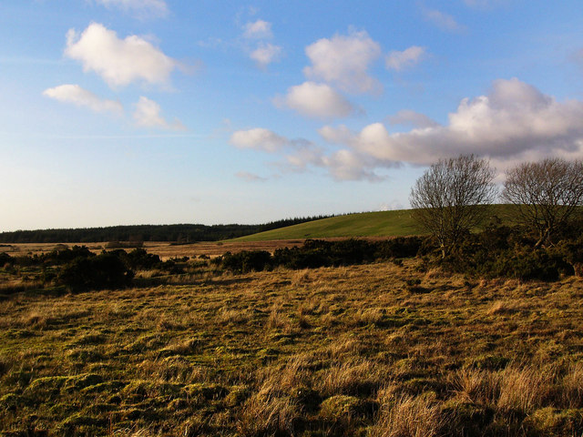
Auld Hill, located in Wigtownshire, Scotland, is a prominent hill/mountain that holds historical and geographical significance. Standing at an elevation of approximately 319 meters (1,047 feet), it offers stunning panoramic views of the surrounding area. It is situated near the village of Auchenmalg and is a popular destination for hikers and nature enthusiasts.
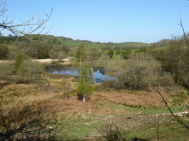
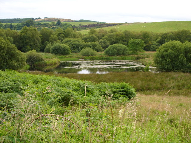
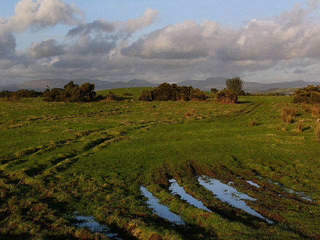
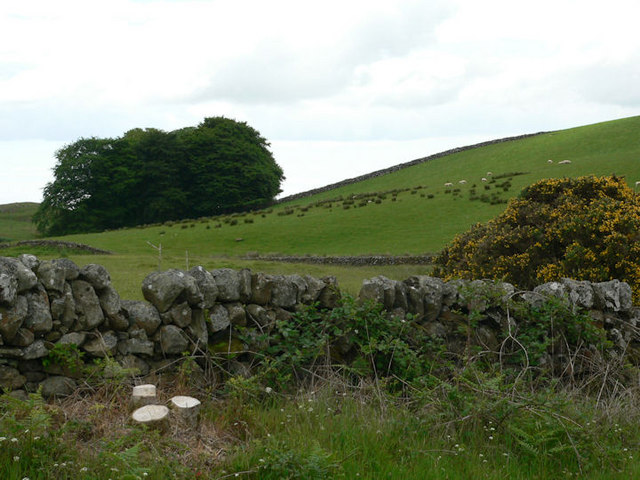
The hill is characterized by its gentle slopes and lush greenery, making it an ideal location for outdoor activities such as walking, picnicking, and birdwatching. It is home to a diverse range of flora and fauna, including various species of birds, wildflowers, and small mammals. The hill's fertile soil also supports a thriving ecosystem.
Auld Hill has a rich historical background. It is believed to have been used as a settlement site during the Bronze Age, as evidenced by archaeological finds in the vicinity. In addition, there are remnants of an ancient fort or hillfort on its summit, indicating its importance as a defensive stronghold in ancient times.
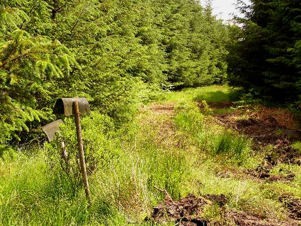
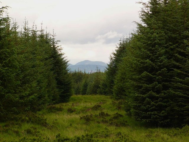
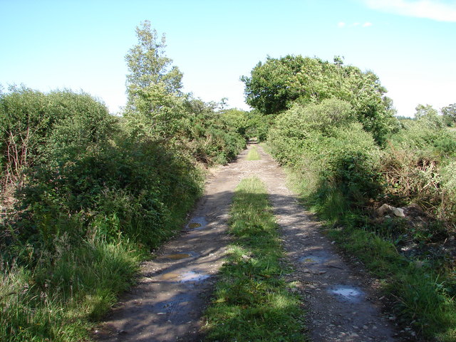
The hill is easily accessible by foot, with several well-marked trails leading to its peak. Along the way, visitors can enjoy the peaceful ambience and stunning views of the surrounding countryside, including the nearby Solway Firth and the Galloway Forest Park.
Auld Hill, with its natural beauty and historical significance, offers visitors a unique opportunity to immerse themselves in Scotland's rich heritage and natural wonders. Whether it's exploring its ancient past or simply enjoying the breathtaking views, this hill/mountain is a must-visit destination for anyone in Wigtownshire.
If you have any feedback on the listing, please let us know in the comments section below.
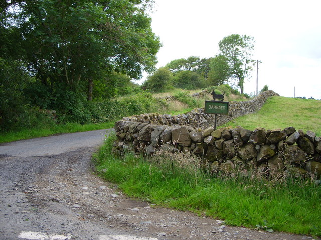
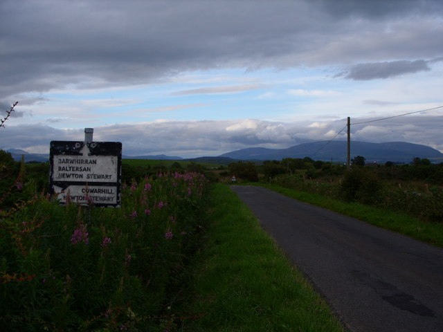
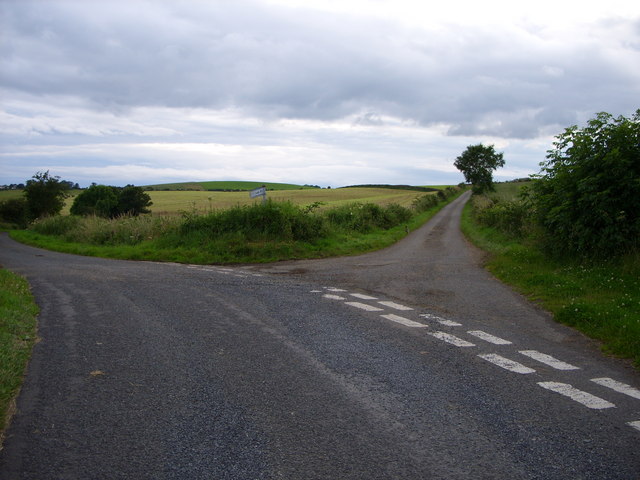
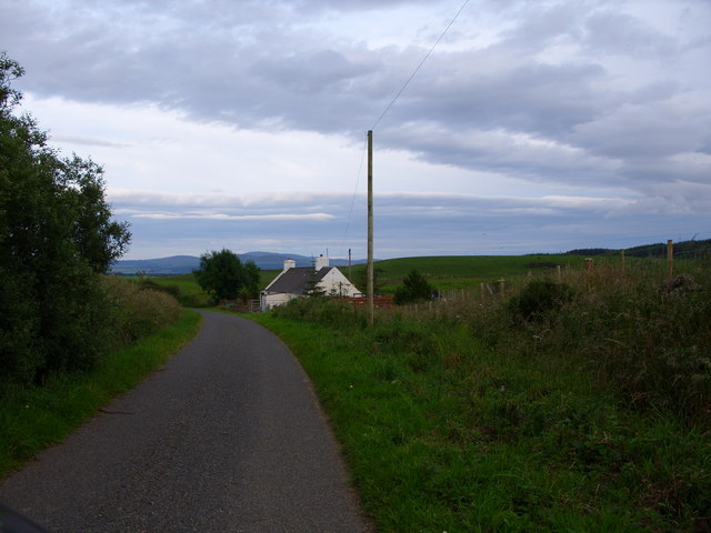
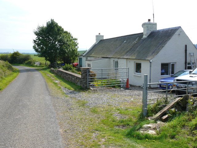
Auld Hill Images
Images are sourced within 2km of 54.916228/-4.5263121 or Grid Reference NX3860. Thanks to Geograph Open Source API. All images are credited.


Auld Hill is located at Grid Ref: NX3860 (Lat: 54.916228, Lng: -4.5263121)
Unitary Authority: Dumfries and Galloway
Police Authority: Dumfries and Galloway
What 3 Words
///fast.carting.shadowing. Near Newton Stewart, Dumfries & Galloway
Nearby Locations
Related Wikis

Mains of Penninghame Platform railway station
Mains of Penninghame Platform railway station (NX410617) was a halt on the Wigtownshire Railway branch line, from Newton Stewart to Whithorn, of the Portpatrick...

Causeway End railway station
Causeway End (NX 42047 59602) or Causwayend was a railway station on the Wigtownshire Railway branch line, from Newton Stewart to Whithorn, of the Portpatrick...

Torhouse
The Standing Stones of Torhouse (also Torhousekie) are a stone circle of nineteen granite boulders on the land of Torhouse, three miles west of Wigtown...

Newton Stewart Hospital
Newton Stewart Hospital is a health facility in Newton Stewart, Dumfries and Galloway, Scotland. It is managed by NHS Dumfries and Galloway. == History... ==

Newton Stewart railway station
Newton Stewart railway station served the town of Newton Stewart, Dumfries and Galloway, Scotland from 1861 to 1965 on the Portpatrick and Wigtownshire...

Newton Stewart F.C.
Newton Stewart Football Club are a football club from the town of Newton Stewart in the Dumfries and Galloway area of Scotland. Formed in 1880, as Newton...

Newton Stewart
Newton Stewart (Gd: Baile Ùr nan Stiùbhartach) is a former burgh town in the historical county of Wigtownshire in Dumfries and Galloway, southwest Scotland...

McMillan Hall, Newton Stewart
The McMillan Hall is a municipal building in Dashwood Square in Newton Stewart, Dumfries and Galloway, Scotland. The structure, which is used as a community...
Nearby Amenities
Located within 500m of 54.916228,-4.5263121Have you been to Auld Hill?
Leave your review of Auld Hill below (or comments, questions and feedback).