Black Hill
Hill, Mountain in Ayrshire
Scotland
Black Hill

Black Hill is a prominent hill located in the southern region of Ayrshire, Scotland. With an elevation of approximately 646 meters (2,119 feet), it is considered one of the highest peaks in the area. The hill forms part of the Southern Uplands, a range of rolling hills and mountains that traverse the southern part of Scotland.
Black Hill is situated within the boundaries of the Galloway Forest Park, a vast expanse of forested land that covers over 300 square miles. The hill itself is characterized by its distinct black color, which is due to the presence of dark vegetation and exposed rock formations.
The hill offers breathtaking panoramic views of the surrounding countryside, including the Galloway Hills and the Firth of Clyde. On a clear day, it is possible to see as far as the Isle of Arran and the Mull of Kintyre. The summit of Black Hill is marked by a trig point, providing a convenient reference point for hikers and climbers.
The area surrounding Black Hill is a haven for outdoor enthusiasts, with numerous walking trails and paths that cater to a range of abilities. The hill is a popular destination for hillwalkers, offering a challenging yet rewarding climb. The surrounding forest also provides opportunities for wildlife spotting, with red deer, red squirrels, and various bird species being common sights in the area.
Overall, Black Hill in Ayrshire is a picturesque and diverse natural landmark, offering stunning views and a range of outdoor activities for visitors to enjoy.
If you have any feedback on the listing, please let us know in the comments section below.
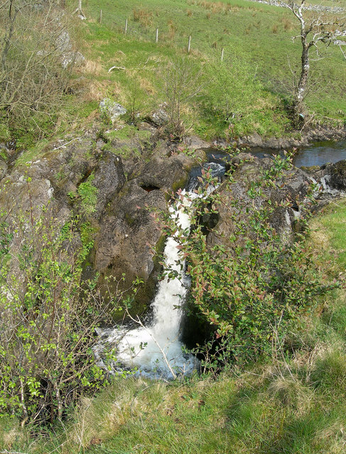
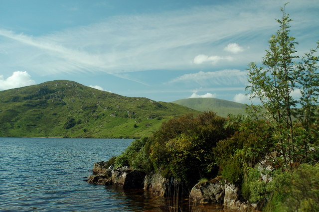
Black Hill Images
Images are sourced within 2km of 55.233225/-4.5463009 or Grid Reference NX3896. Thanks to Geograph Open Source API. All images are credited.


Black Hill is located at Grid Ref: NX3896 (Lat: 55.233225, Lng: -4.5463009)
Unitary Authority: South Ayrshire
Police Authority: Ayrshire
What 3 Words
///drill.upwardly.tallest. Near Bellsbank, East Ayrshire
Nearby Locations
Related Wikis

Stinchar Falls
Stinchar Falls is a waterfall of Scotland. It is located on the Stinchar Burn, east of Barr in Ayrshire. == See also == Waterfalls of Scotland == References ==

Loch Brecbowie
Loch Brecbowie is a Scottish loch located in the Ayrshire region, near the town of Girvan.The small, freshwater loch contains four small islands. It is...
Tairlaw Linn
Tairlaw Linn is a waterfall of Scotland, near Straiton, South Ayrshire. == See also == Waterfalls of Scotland == References ==

Shalloch on Minnoch
Shalloch on Minnoch is a hill in the Range of the Awful Hand, a sub-range of the Galloway Hills range, part of the Southern Uplands of Scotland. It is...

Drunmore Linn
Drunmore Linn is a waterfall of Scotland, near Straiton, South Ayrshire. == See also == Waterfalls of Scotland == References ==
Loch Macaterick
Loch Macaterick is a loch in East Ayrshire, Scotland within Galloway Forest Park and Merrick Kells SSSI. The loch is situated to the north of Macaterick...

Straiton
Straiton is a village on the River Girvan in South Ayrshire in Scotland. It lies in the hills between Kirkmichael, Dalmellington, Crosshill, and Maybole...

Ayr, Carrick and Cumnock (UK Parliament constituency)
Ayr, Carrick, and Cumnock is a county constituency represented in the House of Commons of the Parliament of the United Kingdom. It was created for the...
Nearby Amenities
Located within 500m of 55.233225,-4.5463009Have you been to Black Hill?
Leave your review of Black Hill below (or comments, questions and feedback).