Barwinnock Hill
Hill, Mountain in Wigtownshire
Scotland
Barwinnock Hill
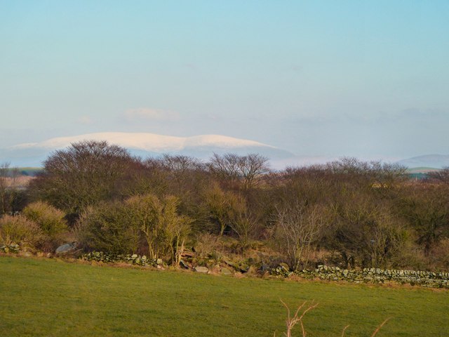
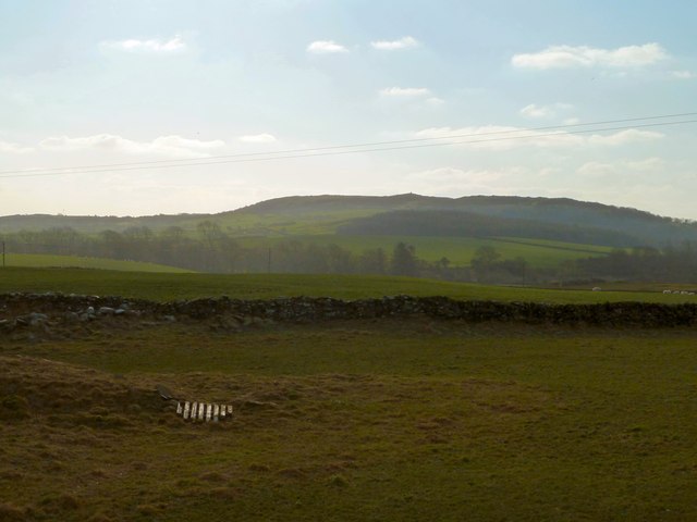
Barwinnock Hill is a prominent hill located in Wigtownshire, a historic county in southwestern Scotland. Situated near the village of Kirkcowan, the hill is part of the Southern Uplands and stands at an elevation of approximately 323 meters (1,060 feet) above sea level. It is recognized as one of the notable landmarks in the region.
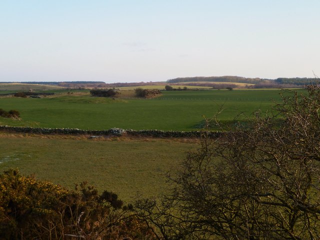
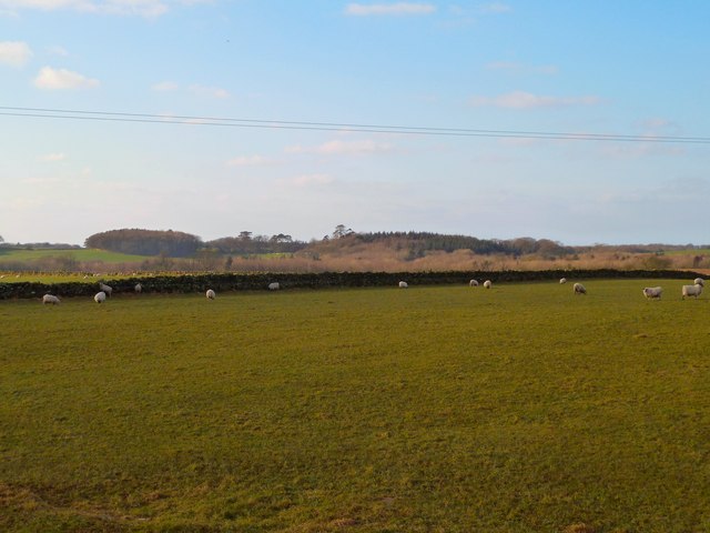
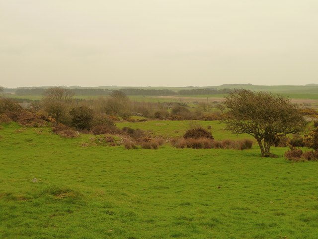
Barwinnock Hill is characterized by its distinct conical shape, with a relatively steep gradient on its slopes. The hill is predominantly composed of sedimentary rocks, including sandstone and shale, which have been shaped by millions of years of geological processes. The surrounding landscape features rolling hills, fertile farmland, and scattered woodlands, contributing to the scenic beauty of the area.
Hiking and hillwalking enthusiasts are drawn to Barwinnock Hill due to its accessibility and stunning panoramic views from the summit. The ascent is relatively straightforward, with several established trails leading to the top. On a clear day, visitors can enjoy uninterrupted vistas of the surrounding countryside, including the Galloway Forest Park and the Solway Firth.
The hill is also home to a diverse range of flora and fauna. The lower slopes are covered in grasses, heathers, and wildflowers, while the higher regions are marked by heathland and scattered shrubs. Birdwatchers may spot various species, including raptors such as kestrels and buzzards, as well as smaller songbirds.
Overall, Barwinnock Hill offers a rewarding outdoor experience for nature enthusiasts, providing a blend of natural beauty, recreational opportunities, and a chance to appreciate the picturesque countryside of Wigtownshire.
If you have any feedback on the listing, please let us know in the comments section below.
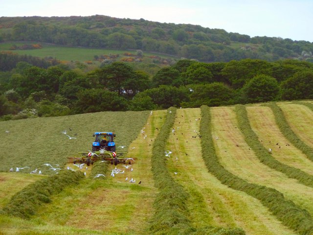
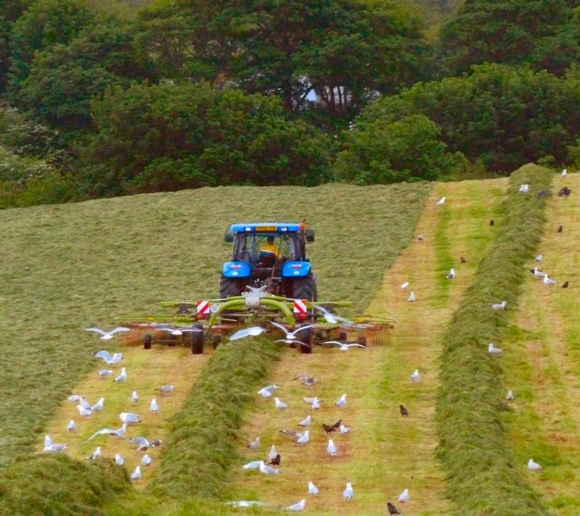
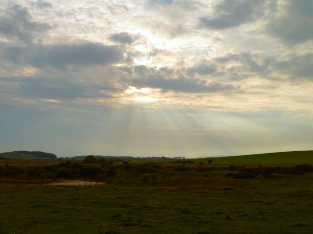
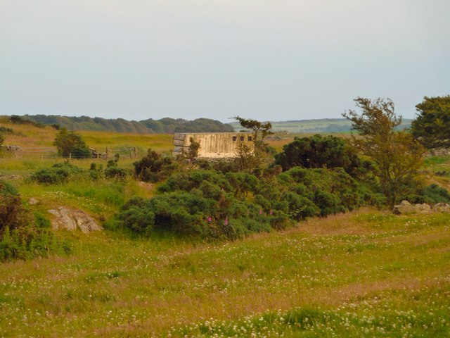
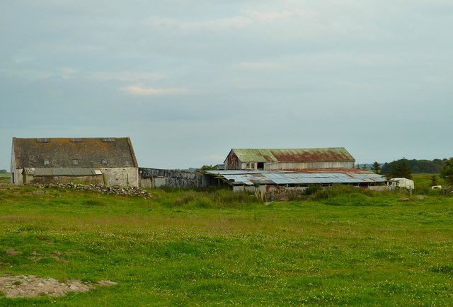
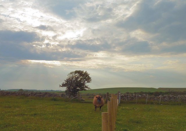
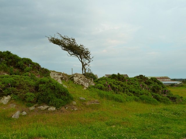
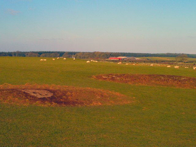
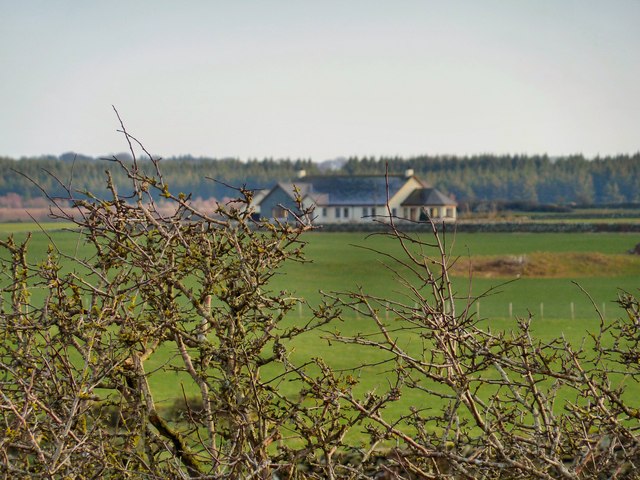
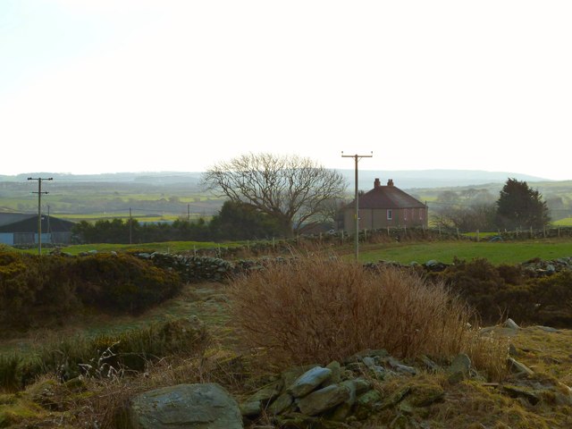
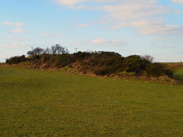
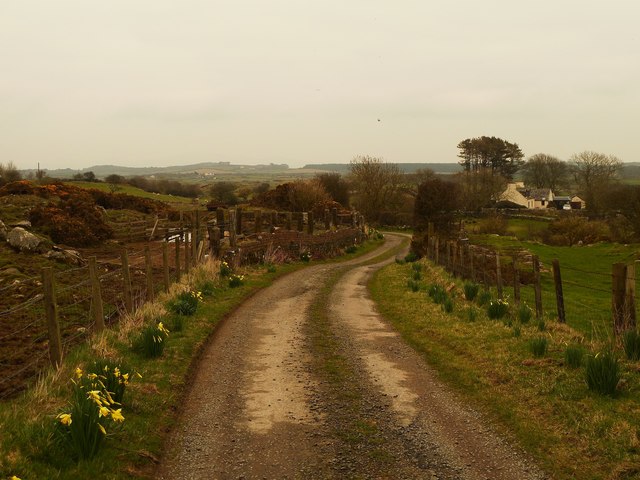
Barwinnock Hill Images
Images are sourced within 2km of 54.756602/-4.5034548 or Grid Reference NX3943. Thanks to Geograph Open Source API. All images are credited.

Barwinnock Hill is located at Grid Ref: NX3943 (Lat: 54.756602, Lng: -4.5034548)
Unitary Authority: Dumfries and Galloway
Police Authority: Dumfries and Galloway
What 3 Words
///hooks.stopwatch.dart. Near Whithorn, Dumfries & Galloway
Nearby Locations
Related Wikis

Drumtroddan standing stones
The Drumtroddan standing stones (grid reference NX 36449 44300) are a small Neolithic or Bronze Age stone alignment in the parish of Mochrum, Wigtownshire...

Wren's Egg
The Wren's Egg (grid reference NX 3610 4199) is the name given to a set of late Neolithic or Bronze Age stone monuments in the parish of Glasserton, Wigtownshire...

Monreith House
Monreith House is a category A listed Georgian mansion located 1.5 kilometres (0.93 mi) east of the village of Port William in Mochrum parish in the historical...

Monreith
Monreith ([mɒn'ri:θ] / 'mon-REETH'; Scottish Gaelic: Am Monadh Rèidh) is a small seaside village in the Machars, in the historical county of Wigtownshire...
Whauphill
Whauphill is a small village located in the historical county of Wigtownshire in the Machars, Dumfries and Galloway, Scotland.Whauphill is a hub that supports...
Rispain Camp
Rispain Camp is the remains of a fortified farmstead 1 mile west of Whithorn, Dumfries and Galloway, Scotland. It is one of the major Iron Age archaeological...

Port William, Dumfries and Galloway
Port William (Scottish Gaelic: Cill na Tràghad) is a fishing village in the parish of Mochrum in the historical county of Wigtownshire, Dumfries and Galloway...
Glasserton
Glasserton is a civil parish in Dumfries and Galloway, south-west Scotland. It is on the Machars peninsula, in the traditional county of Wigtownshire....
Have you been to Barwinnock Hill?
Leave your review of Barwinnock Hill below (or comments, questions and feedback).