Barscube Hill
Hill, Mountain in Renfrewshire
Scotland
Barscube Hill
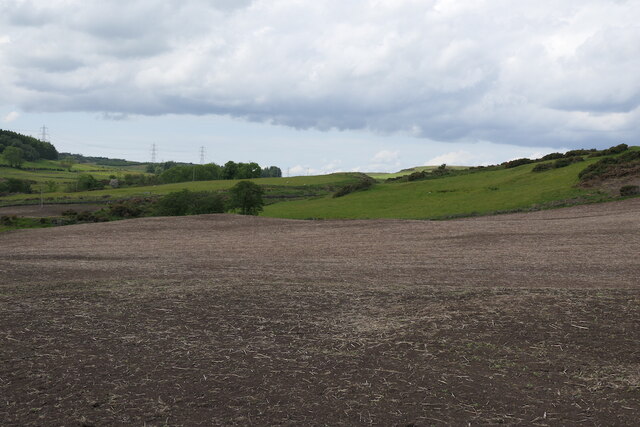
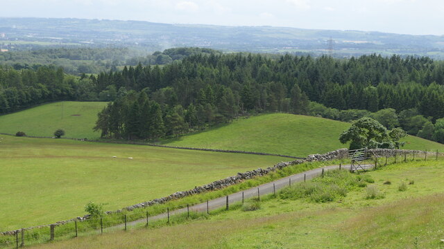
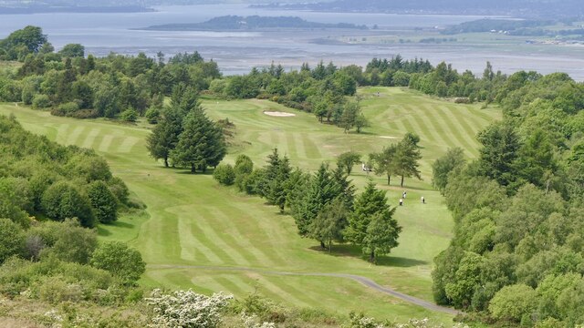
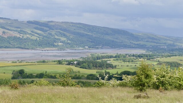
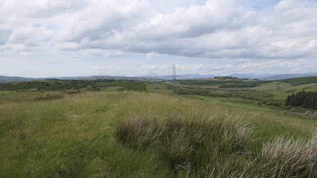
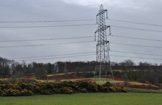
Barscube Hill is a prominent hill located in Renfrewshire, Scotland. Situated near the town of Paisley, it forms part of the larger Gleniffer Braes Country Park. Rising to an elevation of about 288 meters (945 feet), it offers stunning panoramic views of the surrounding countryside.
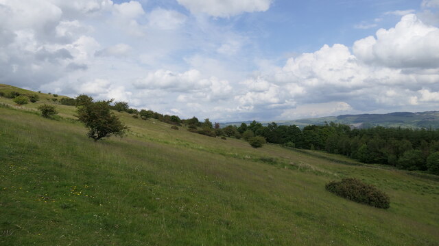
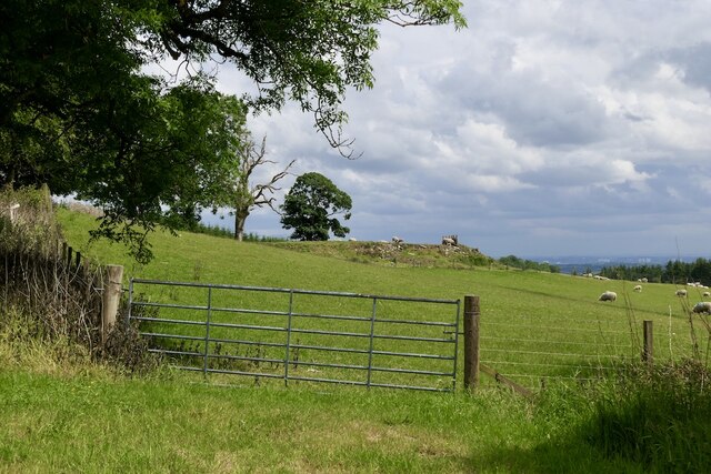
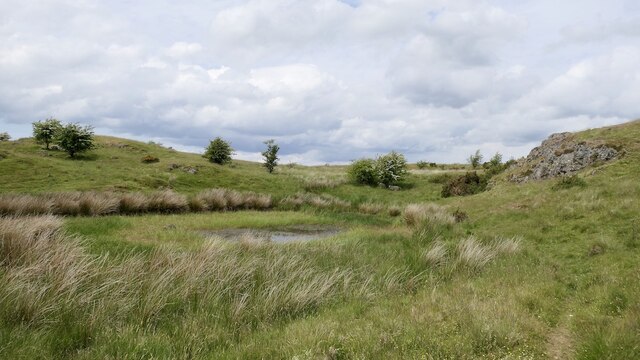
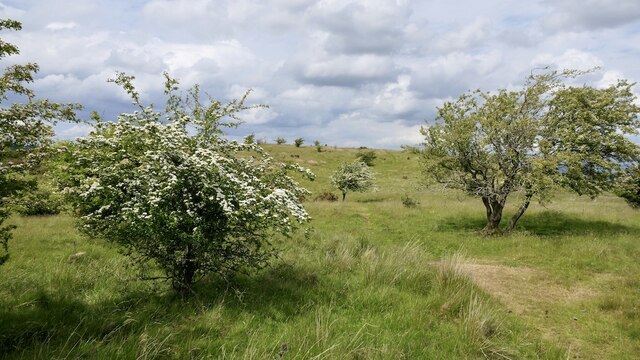
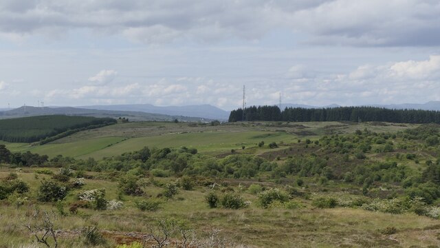
The hill is covered in heather and grass, with scattered patches of woodland. Its slopes are moderately steep, making it a popular destination for hikers and nature enthusiasts. The ascent to the summit is relatively easy and can be reached by following well-marked trails.
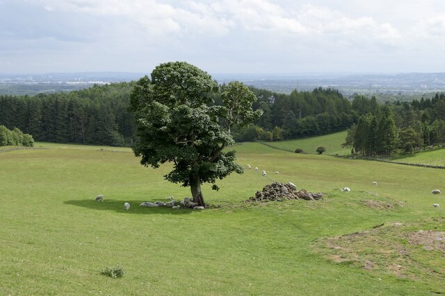
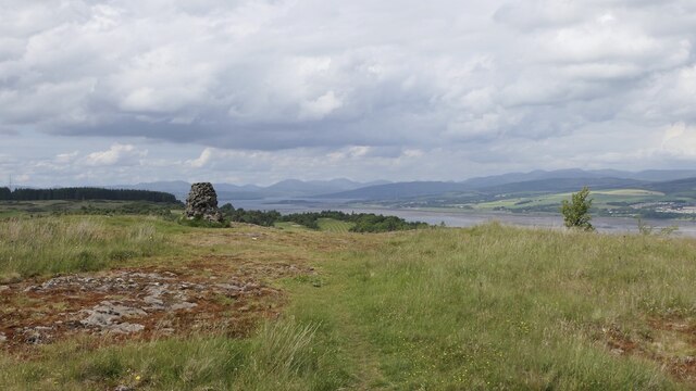
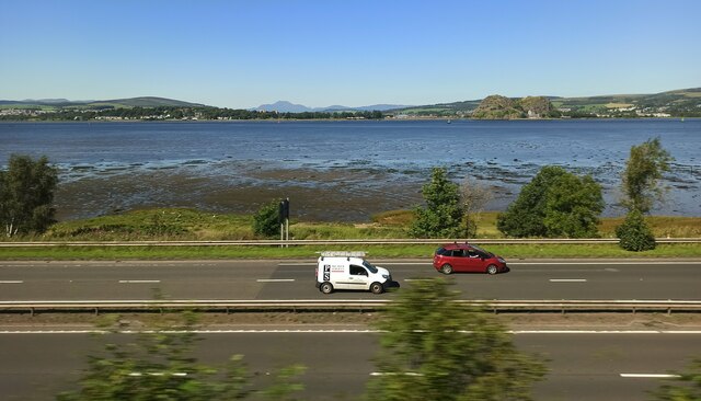
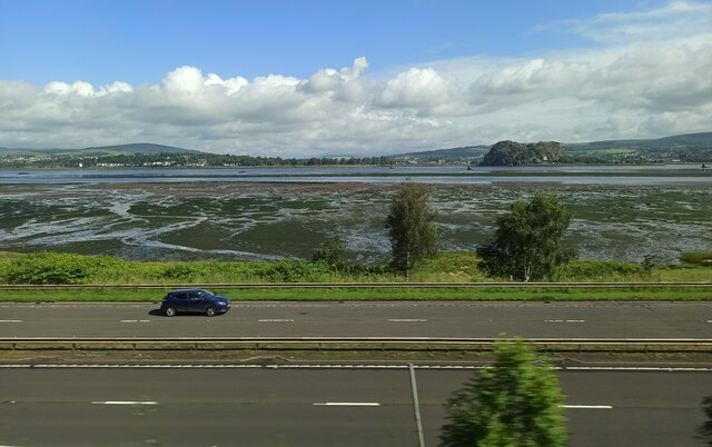
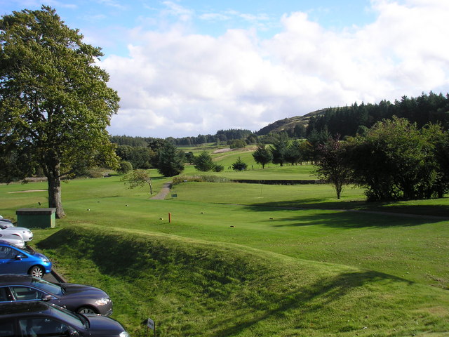
At the top of Barscube Hill, visitors are rewarded with breathtaking vistas of the Clyde Valley, the city of Glasgow, and the nearby Kilpatrick Hills. On clear days, it is even possible to catch a glimpse of the distant hills of the Trossachs and the snow-capped peaks of Ben Lomond.
The hill is also known for its historical significance. It was once the site of an Iron Age hillfort, providing evidence of ancient human habitation in the area. Today, remnants of the fortification can still be seen, adding an extra layer of intrigue to the site.
Barscube Hill offers a peaceful escape from the urban hustle and bustle, providing a haven for wildlife and a tranquil setting for outdoor activities. Whether it's hiking, picnicking, or simply enjoying the beautiful scenery, Barscube Hill is a captivating destination for locals and tourists alike.
If you have any feedback on the listing, please let us know in the comments section below.
Barscube Hill Images
Images are sourced within 2km of 55.909774/-4.578996 or Grid Reference NS3871. Thanks to Geograph Open Source API. All images are credited.

Barscube Hill is located at Grid Ref: NS3871 (Lat: 55.909774, Lng: -4.578996)
Unitary Authority: Renfrewshire
Police Authority: Renfrewshire and Inverclyde
What 3 Words
///ponies.width.crib. Near Kilmacolm, Inverclyde
Nearby Locations
Related Wikis
Gleddoch House Hotel & Golf Club
Gleddoch House Hotel & Golf Club is situated in a 360-acre estate in Langbank, Renfrewshire. == Hotel == Gleddoch House is a Victorian mansion built by...

Langbank
Langbank is a village on the south bank of the River Clyde in Renfrewshire, Scotland. It is 9.3 miles/15 km northwest from Paisley (Renfrewshire) and 3...

Langbank railway station
Langbank railway station serves the village of Langbank in Renfrewshire, Scotland. The station is on the Inverclyde Line, 16 miles (26 km) west of Glasgow...

Formakin House
Formakin House is an early 20th-century mansion and estate in Renfrewshire, Scotland. It is located 2 kilometres (1.2 mi) south of the Firth of Clyde,...

St Fillan's Kirk, Seat and Well
St Fillan's Kirk, Seat and Well are located in the hamlet of Kilallan, once the main religious centre of the ancient parish of Kilallan (Cill Fhaolain...

Siege of Dumbarton
The siege of Dumbarton was a successful four-month siege of the Brittonic fortress at Dumbarton Rock in 870, initiated by the Viking leaders Amlaíb, King...
Dumbarton Castle
Dumbarton Castle (Scottish Gaelic: Dùn Breatainn, pronounced [t̪unˈpɾʲɛʰt̪ɪɲ]; Welsh: Alt Clut) has the longest recorded history of any stronghold in Scotland...
Battle of Alclud Ford
The Battle of Alclud Ford was a battle between the post-Roman Celtic Britons of Rheged and the Anglo-Saxon Kingdom of Bernicia around c. 580CE. The fighting...
Have you been to Barscube Hill?
Leave your review of Barscube Hill below (or comments, questions and feedback).