Jamies Hill
Hill, Mountain in Wigtownshire
Scotland
Jamies Hill

Jamie's Hill is a prominent hill located in Wigtownshire, a historic county in the southwestern part of Scotland. Situated near the village of Glenluce, this hill is a popular destination for hikers and nature enthusiasts due to its scenic beauty and historical significance.
Rising to a height of approximately 218 meters (715 feet), Jamie's Hill offers breathtaking views of the surrounding countryside, including the picturesque Glenluce Abbey and the rolling hills of Wigtownshire. The hill is characterized by its gentle slopes and lush green vegetation, making it an ideal spot for leisurely walks and picnics.
Aside from its natural beauty, Jamie's Hill also holds historical importance. During the 17th and 18th centuries, the hill served as a lookout point for the local community, enabling them to spot potential invaders or approaching ships along the nearby coast. This defensive role is evidenced by the remains of an old watchtower that can still be seen on the summit of the hill.
Today, Jamie's Hill is easily accessible by a well-maintained footpath that winds its way up to the summit. Along the way, visitors can enjoy the diverse flora and fauna that inhabit the area, including heather, gorse, and various bird species. The hill is also home to a number of archaeological sites, such as ancient burial mounds and stone circles, adding to its historical allure.
Overall, Jamie's Hill provides a unique combination of natural beauty and historical significance, making it a must-visit destination for anyone exploring the enchanting region of Wigtownshire.
If you have any feedback on the listing, please let us know in the comments section below.
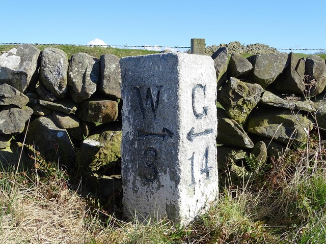
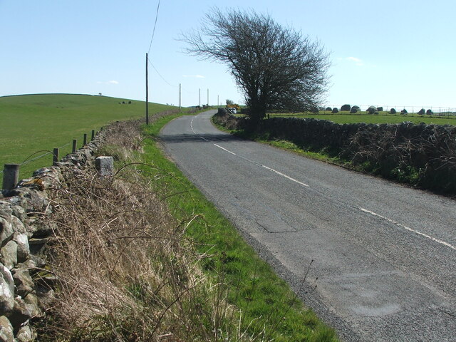
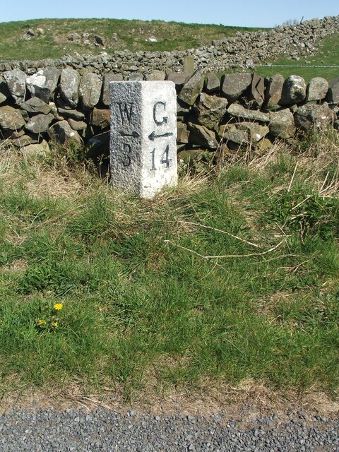
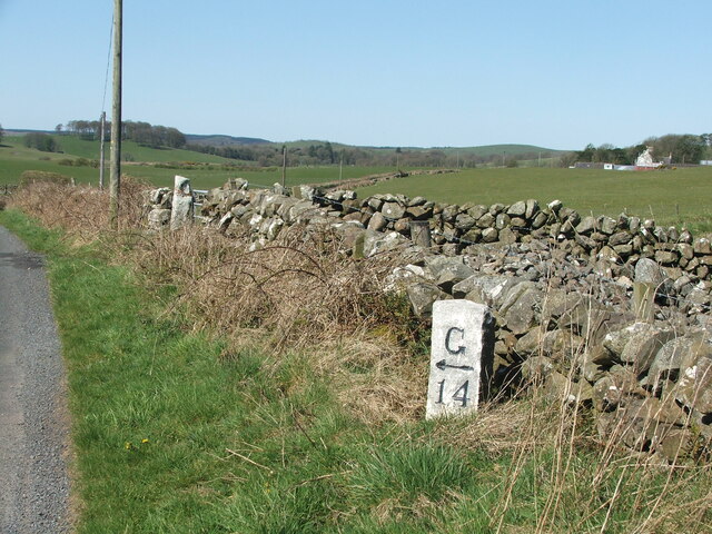
Jamies Hill Images
Images are sourced within 2km of 54.877143/-4.5124379 or Grid Reference NX3856. Thanks to Geograph Open Source API. All images are credited.


Jamies Hill is located at Grid Ref: NX3856 (Lat: 54.877143, Lng: -4.5124379)
Unitary Authority: Dumfries and Galloway
Police Authority: Dumfries and Galloway
What 3 Words
///latched.firepower.markets. Near Newton Stewart, Dumfries & Galloway
Nearby Locations
Related Wikis

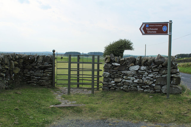
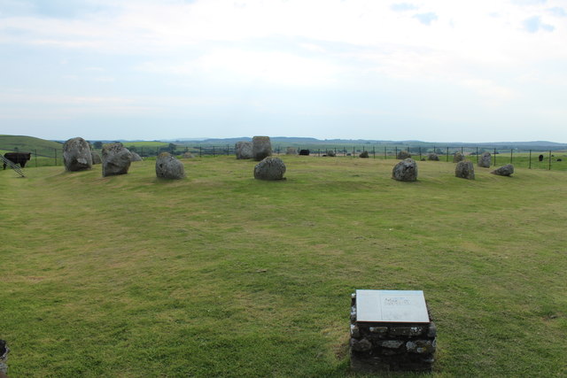
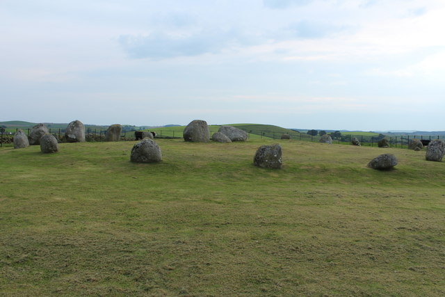
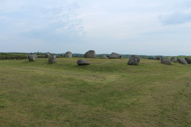
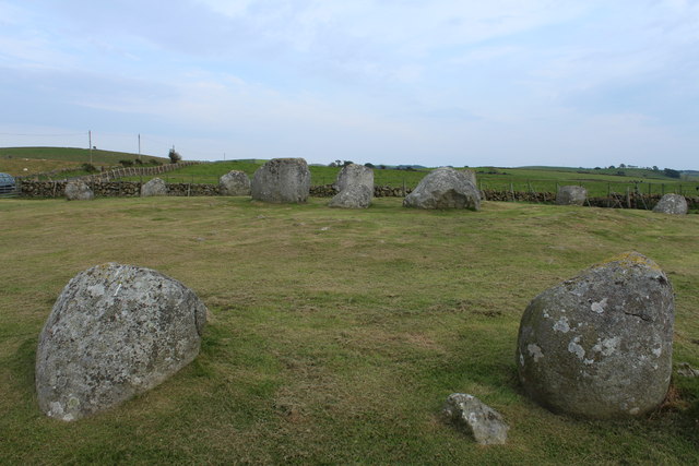
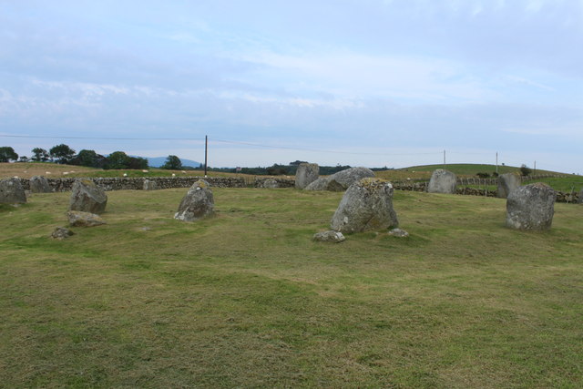
Torhouse
The Standing Stones of Torhouse (also Torhousekie) are a stone circle of nineteen granite boulders on the land of Torhouse, three miles west of Wigtown...

Bladnoch Distillery and Visitor Centre
Bladnoch distillery is a single malt Scotch whisky distillery in south west Scotland. It is one of six remaining Lowland distilleries, located at Bladnoch...

Wigtown & Bladnoch F.C.
Wigtown & Bladnoch Football Club are a football club from the town of Wigtown in the Dumfries and Galloway area of Scotland, who play in the South of Scotland...

Bladnoch, Wigtownshire
Bladnoch (Scottish Gaelic: Blaidneach) is a small village on the River Bladnoch in Wigtownshire, Scotland, located just outside the county town of Wigtown...
Causeway End railway station
Causeway End (NX 42047 59602) or Causwayend was a railway station on the Wigtownshire Railway branch line, from Newton Stewart to Whithorn, of the Portpatrick...
Blackfriars, Wigtown
The Church of the Friars Preachers of the Annunciation of the Blessed Virgin Mary at Wigtown, commonly called Blackfriars, was a mendicant friary of the...
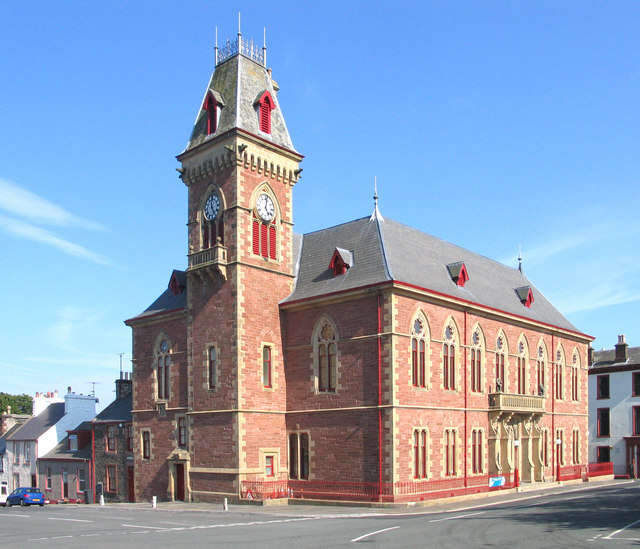
Wigtown County Buildings
Wigtown County Buildings, also known as Wigtown County Buildings and Town Hall, is a municipal building in The Square, Wigtown, Scotland. The structure...

Wigtown
Wigtown ( (both used locally); Scottish Gaelic: Baile na h-Ùige) is a town and former royal burgh in Wigtownshire, of which it is the county town, within...
Nearby Amenities
Located within 500m of 54.877143,-4.5124379Have you been to Jamies Hill?
Leave your review of Jamies Hill below (or comments, questions and feedback).