Longpark Hill
Hill, Mountain in Ayrshire
Scotland
Longpark Hill
Longpark Hill is a prominent geographical feature located in the region of Ayrshire, Scotland. Rising to a height of approximately 246 meters (807 feet), it is classified as a hill rather than a mountain. Situated in the southern part of Ayrshire, Longpark Hill commands impressive views of the surrounding areas, including the nearby towns of Ayr and Prestwick, as well as the Firth of Clyde.
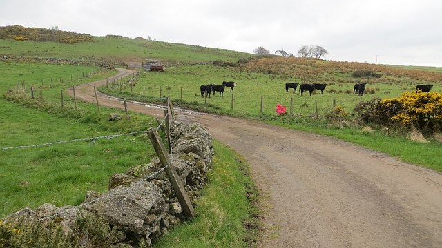
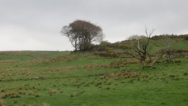
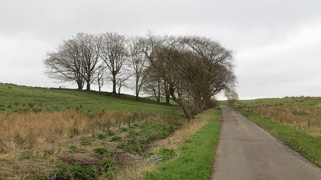
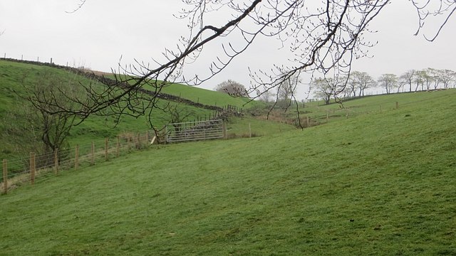
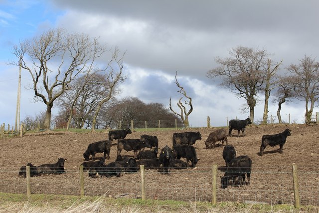
The hill is characterized by its gentle slopes and rolling green fields, which are predominantly used for agricultural purposes. The landscape is dotted with scattered patches of woodland, providing habitat for various species of flora and fauna. The area is particularly known for its rich biodiversity, with several protected species found within its boundaries.
Longpark Hill is easily accessible, with a network of footpaths and trails allowing visitors to explore and enjoy its natural beauty. It is a popular spot for hiking and walking enthusiasts, offering a range of routes to cater to different levels of fitness and experience. The hill's location also makes it an ideal destination for picnics and outdoor activities, attracting locals and tourists alike.
Historically, Longpark Hill has been an important landmark in the region, serving as a navigational reference point for travelers and locals. It has also played a role in the area's folklore and legends, with stories and tales passed down through generations.
Overall, Longpark Hill is a picturesque and significant natural feature in Ayrshire, offering stunning views, recreational opportunities, and a connection to the region's rich history and heritage.
If you have any feedback on the listing, please let us know in the comments section below.
Longpark Hill Images
Images are sourced within 2km of 55.775023/-4.5737998 or Grid Reference NS3856. Thanks to Geograph Open Source API. All images are credited.


Longpark Hill is located at Grid Ref: NS3856 (Lat: 55.775023, Lng: -4.5737998)
Unitary Authority: North Ayrshire
Police Authority: Ayrshire
What 3 Words
///chitchat.support.gripes. Near Lochwinnoch, Renfrewshire
Nearby Locations
Related Wikis
Lands of Threepwood
The lands of Threepwood were located in the Parish of Beith, at the eastern boundary between East Renfrewshire and North Ayrshire, Scotland. The settlements...
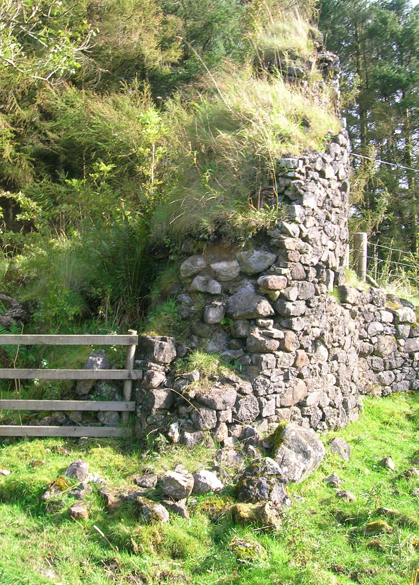
Auchenbathie Tower
Auchenbathie, Auchinbathie Tower or rarely Barcraigs Tower is a ruined fortification, a tower house, once held by the Wallace Clan of Elderslie, situated...

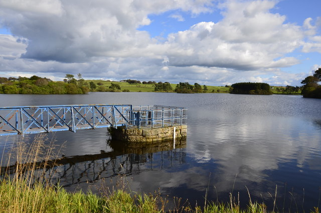
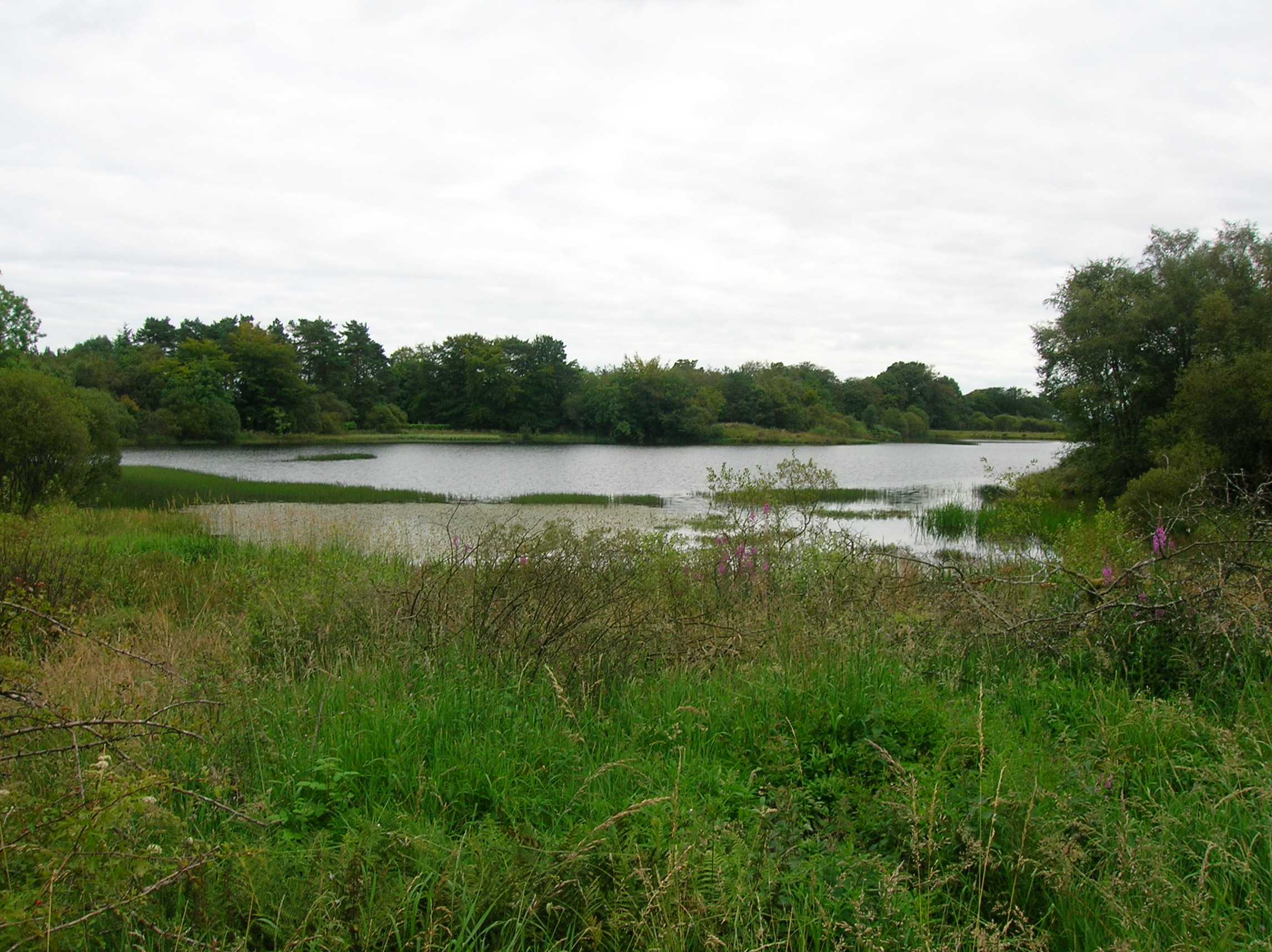
Lowes Loch (Ayrshire)
Lowes Loch, The Lochs (NS 37754 55688) or Loch of Hill is now a small natural freshwater loch in the North Ayrshire Council Areas (KA15 2JR), Scotland...

Lands of Brownmuir
The lands of Brownmuir, Brown Muir (1832) or Brimmer (1821) in Scots were located in the Parish of Beith, at the western boundary between East Renfrewshire...

Castle Semple Loch
Castle Semple Loch is a 1.5-mile-long (2.5 km) inland freshwater loch at Lochwinnoch in Renfrewshire, Scotland. Originally part of an estate of the same...

Coldstream Mill
Coldstream Mill, near Beith in North Ayrshire, Scotland, was an early 19th century meal mill powered by the Dusk Water and Whitestone Burn that was enlarged...

Lochwinnoch railway station
Lochwinnoch railway station is a railway station serving the village of Lochwinnoch, Renfrewshire, Scotland. The station is managed by ScotRail and is...

Hessilhead Loch
Hessilhead Loch or Hazelhead Loch was situated in a low-lying area near the old Castle of Hessilhead in the Parish of Beith, North Ayrshire, Scotland....
Nearby Amenities
Located within 500m of 55.775023,-4.5737998Have you been to Longpark Hill?
Leave your review of Longpark Hill below (or comments, questions and feedback).